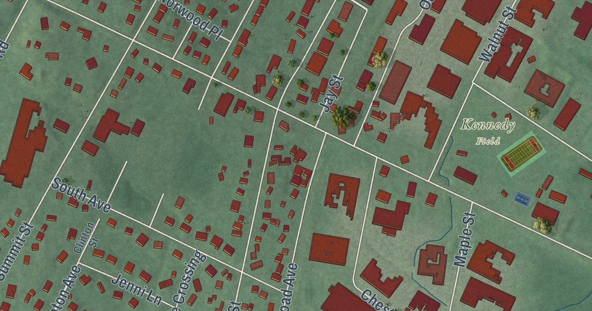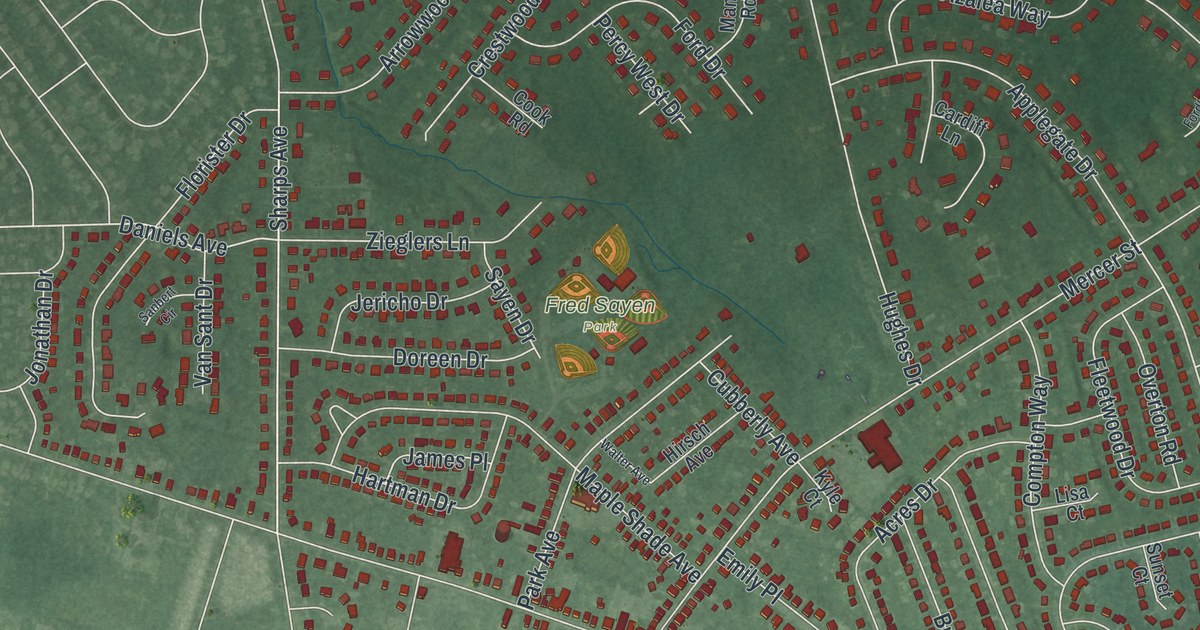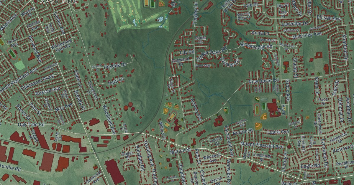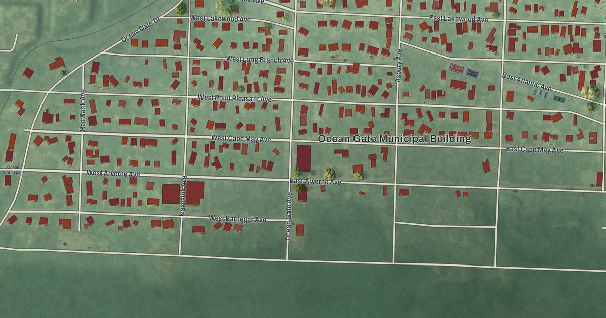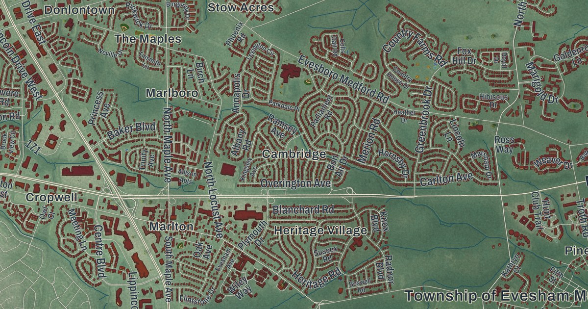
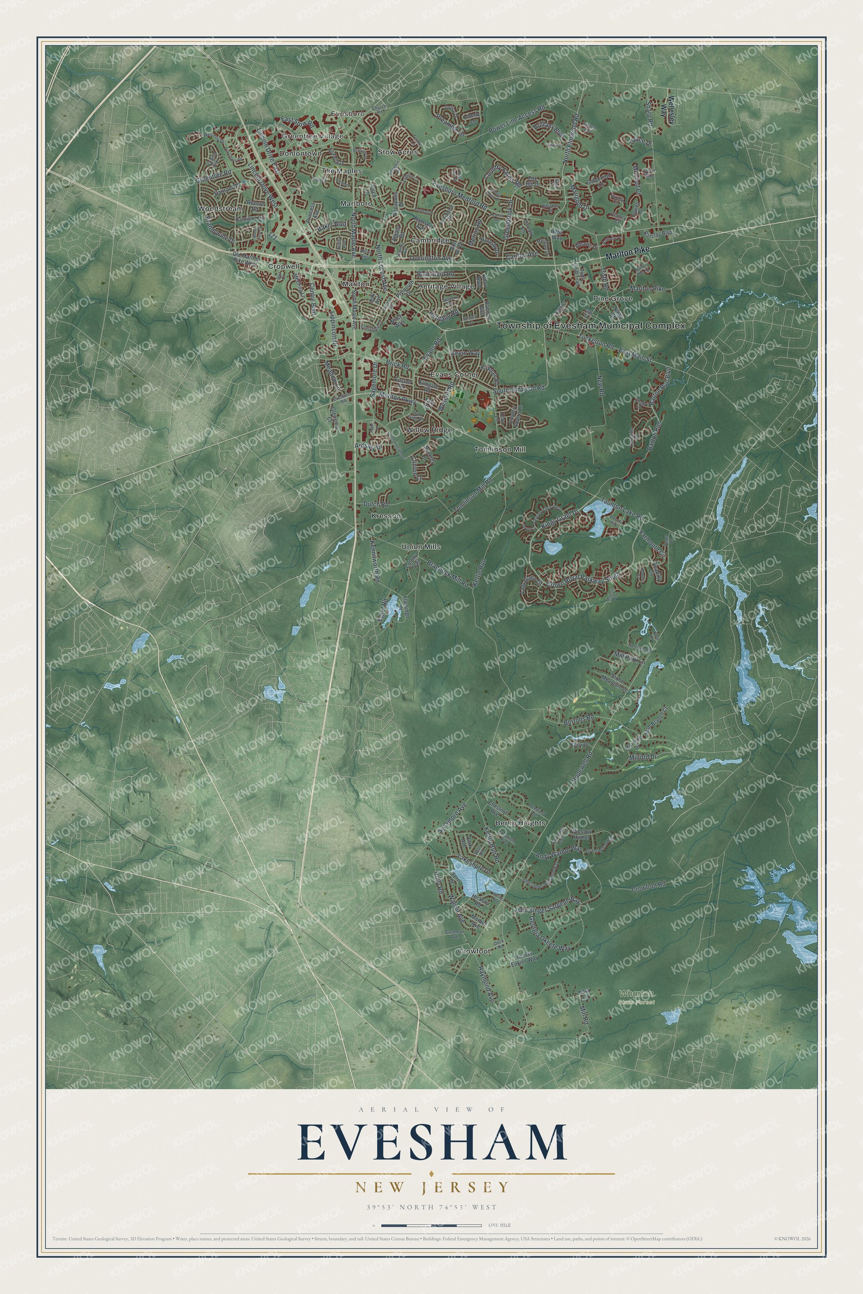
This beautifully detailed map of Evesham, New Jersey was created in 2026 using aerial imagery combined with modern topographical, census, street and landmark data. It’s a one-of-a-kind view of Evesham that combines accurate data with a vintage aesthetic. The map shows every building in its true location, many of the roads carry their names, and the shaded topographic relief shows the shape of the land.
Explore an aerial view of Evesham, New Jersey
On the map you’ll find Township of Evesham Municipal Complex, Greentree Village, Evesboro, Wharton State Forest, Berlin Heights, Cambridge, Cropwell, Crowfoot, Donlontown, Evans Corner, Heritage Village, Kresson, and more. If you look closely you can even find your house accurately drawn in its correct location. Zoom in on the preview to look for yours.
Did You Know?
Most people call Evesham Township Marlton, after its old village. That name comes from marl, a green clay full of bits of shell that farmers spread as fertilizer. Digging marl set off a building boom in the 1830s and 1840s, and the mining went on until 1930.
Take a closer look at the Evesham map
Names on this map
These names are printed on this map.
Places: Township of Evesham Municipal Complex, Greentree Village, Evesboro, Wharton State Forest, Berlin Heights, Cambridge, Cropwell, Crowfoot, Donlontown, Evans Corner, Heritage Village, Kresson, Marlboro, Marlton, Pine Grove, Stow Acres, The Maples, Tomlinson Mill, Union Mills, Willow Ridge and Woodstream.
Streets and roads: Marlton Pike, East Main Street, North Elmwood Road, North Maple Avenue, South Elmwood Road, Lincoln Drive West, Marlton Parkway, Hopewell Road, Evesboro Medford Road, Kettle Run Road, Tomlinson Mill Road, Kettle Run.
More street names, A to Z
Albany Road, Alcott Way, Allison Apts, Amenity Way, Andy Warhol Way, Annapolis Drive, Arbor Lane, Ardsley Drive, Baker Boulevard, Baltimore Drive, Barclay Boulevard, Barton Run, Barton Run Boulevard, Bartram Road, Bass Road, Birch Lane, Blanchard Road, Bon Air Drive, Bortons Road, Boswell Road, Braddock Mill Road, Brandywine Drive, Brick Road, Brittany Boulevard, Brook View Circle, Buckley Lane, Burgundy Drive, Carlton Avenue, Centre Boulevard, Charter Oak Lane, Chestnut Avenue, Church Road, Clancy Court, Clearfield Avenue, Clinton Lane, Colony Trail, Colts Gait Road, Commonwealth Drive, Country Farms Road, Country House Drive, Country Squire Lane, Coventry Circle West, Crowfoot Road, Crown Royal Parkway South, Cushman Avenue, Deerfield Avenue, Dividing Drive, Dock Road, Dutch Road, East Stow Road, Egret Road, Elmgate Road, Euston Road, Evans Road, Evesham Avenue, Evesham Road, Fern Drive, Fifth Street, Flamingo Drive, Flintstone Drive, Fox Chase Road, Fox Hill Drive, Georgia Okeefe Way, Glenview Court, Goldenrod Lane, Grace Drive, Grant Wood Way, Greenbrook Drive, Greentree Road, Hamilton Road, Heather Drive, Heritage Road, Hibiscus Drive, Hickory Road, Holly Road, Hornsby Drive, Hunt Club Trail, Huxley Circle, Iron Gate Road, Jarrett Court, John James Audubon, John James Audubon Way, John Singer Sargent Way, Justice Drive, Kathryn Court, Kelly Drive, Kennilworth Road, Kevin Way, Kings Grant Drive, Kingsley Avenue, Kirkdale Road, Knoll Lane, Knox Boulevard, Lady Diana Circle, Lakeshore Drive, Lakeside Drive, Lexington Circle, Liberty Lane, Lincoln Drive East, Lincoln Lane, Lippincott Drive, Lowell Drive, Majestic Way, Marbel Avenue, Marigold Drive, Marsham Drive, Masters Circle, Meadow Lane, Meeting Lane, Merion Road, Milford Drive, Mill Park Lane, Mill Road, Mitchell Court, Navy Lane, Neville Drive, New Road, Ninth Street, Norrsken Drive, North Locust Avenue, Oak Avenue, Old Marlton Pike West, Overington Avenue, Owl Court, Park Avenue, Parkdale Place, Parliament Road, Penny Lane, Phoenix Road, Picadilly Circle, Pickwick Drive, Plymouth Drive, Power Line Access Road, Preamble Drive, Princess Avenue, Rabbit Run Road, Radnor Boulevard, Ramsey Avenue, Raymond Avenue, Revere Road, Ross Way, Royal Drive, Sagemore Drive, Shady Lane, Sharp Road, Slab Branch Court, South Maple Avenue, Spring Avenue, Stone Mountain Lane, Sullivan Way, Sussex Road, Sycamore Avenue, Taunton Lake Road, Tenby Lane, Thomas Eakins Way, Tinsmith Lane, Tory Lane, Trinity Avenue, Troth Road, Tuckerton Road, Tuxedo Court, Walnut Avenue, Weaver Drive, Wellesley Way, Wescott Road, Westerly Drive, Wiley Way, Winslow Homer, Yale Road, Yarmouth Circle.
See it on a wall
The Evesham map as an 18 x 24 inch print in a black frame.

This beautifully detailed map of Evesham makes an attractive addition to your office, library, or den, and it can even be used to teach children the geography and history of the area. It also makes a great gift for someone who left Evesham and still calls it home. When you’re done exploring, click here to get your copy of the Evesham map.