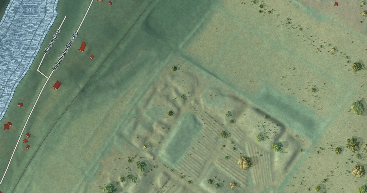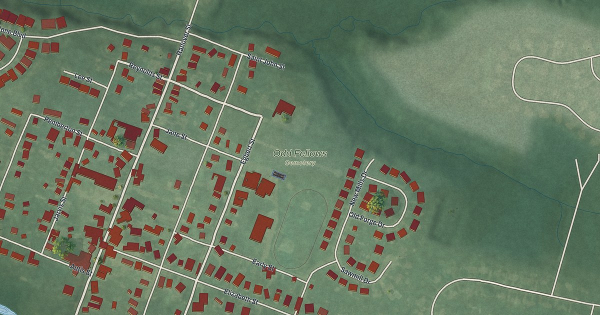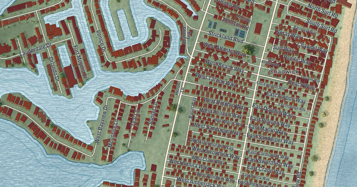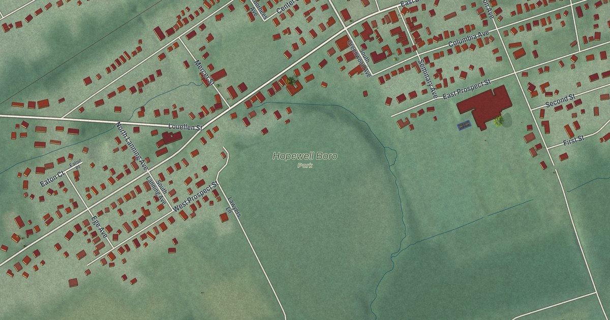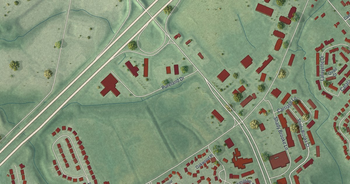
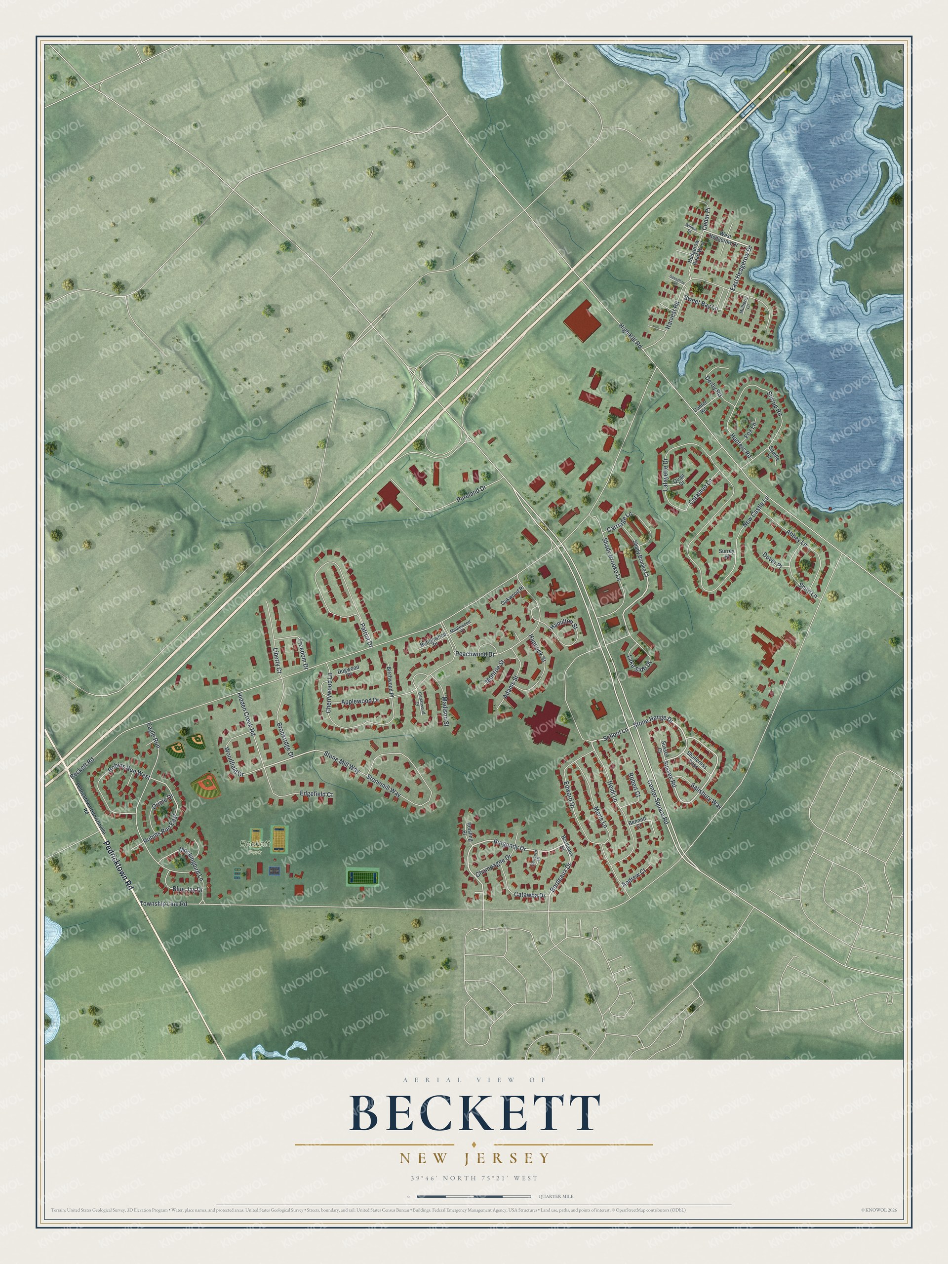
This beautifully detailed map of Beckett, New Jersey was created in 2026 using aerial imagery combined with modern topographical, census, street and landmark data. It's a modern aerial view of Beckett in Gloucester County, New Jersey, that combines modern data with a vintage aesthetic. The roads feature printed names, and if you look closely you can find your exact house accurately shown in its correct location.
Explore an aerial view of Beckett, New Jersey
On this map you'll find Beckett Park, Pedricktown Road, Bordeaux Drive, East Hedgerow Drive, School Lane, Stone Henge Drive, Shady Brooke Lane, Burgundy Drive, Sussex Road, Robins Run East, Center Square Road, Township Line Road, and more. Each red shape is a building, so zoom in on the preview and look for yours.
Beckett is a community in Gloucester County. The Census Bureau counted 4,834 people here in 2020. The map prints the town name in its title panel, with the coordinates below it.
Take a closer look at the Beckett map
Names on this map
These names are printed on this map.
Places: Beckett Park.
Streets and roads: Pedricktown Road, Bordeaux Drive, East Hedgerow Drive, School Lane, Stone Henge Drive, Shady Brooke Lane, Burgundy Drive, Sussex Road, Robins Run East, Center Square Road, Township Line Road, Beckett Road.
More street names, A to Z
Abbey Lane, Adams Street, Andrew Court, Applewood Drive, Bennett Court, Birchwood Place, Blue Jay Drive, Bordeaux Place, Brookridge Drive, Buttonwood Place, Canter Road, Carriage Lane, Catalano Lane, Catawba Drive, Cedar Place, Cedarwood Place, Champagne Drive, Cherrywood Lane, Concord Place, Derby Road, Dogwood Place, Dover Place, Eagle Run, Edgefield Court, Edward Drive, Fox Lane, Freedom Drive, Hamilton Street, Hancock Street, Harvest Road, Hedgerow Road West, Heidi Lane, Hidden Creek Road, High Hill Road, Hunters Road, Lafayette Drive, Lake Side Drive, Liberty Court, Madison Street, Maplewood Place, Merle Lane, Mockingbird Lane, Monroe Street, Mulberry Lane, New Castle Lane, Oakwood Place, Oriole Drive, Patriot Drive, Peachwood Drive, Pedricktown-Harrisonville Road, Pureland Drive, Quail Court, Reisling Place, Robert Court, Robins Run West, Saddle Lane, Salisbury Way, Sassafras Lane, Shady Brooke Court, Shallcross Pass, Shire Lane, Stirrup Road, Stonemill Way, Stone Mill Way, Surrey Place, Sussex Court, Sweet Bay Lane, West Hedgerow Drive, Willow Place, Woodfield Drive.
See it on a wall
The Beckett map as a framed print. Swipe for more.


Created by KNOWOL in 2026. The buildings are small red shapes, the roads carry their printed names, and shaded relief shows the shape of the land. The title panel reads "AERIAL VIEW OF BECKETT, NEW JERSEY" with 39°46' NORTH 75°21' WEST.
It looks right in a kitchen, an office or a den, and it's a gift for anyone who grew up in Beckett or moved away. Open the preview and find your street. See sizes and frames for the Beckett map.