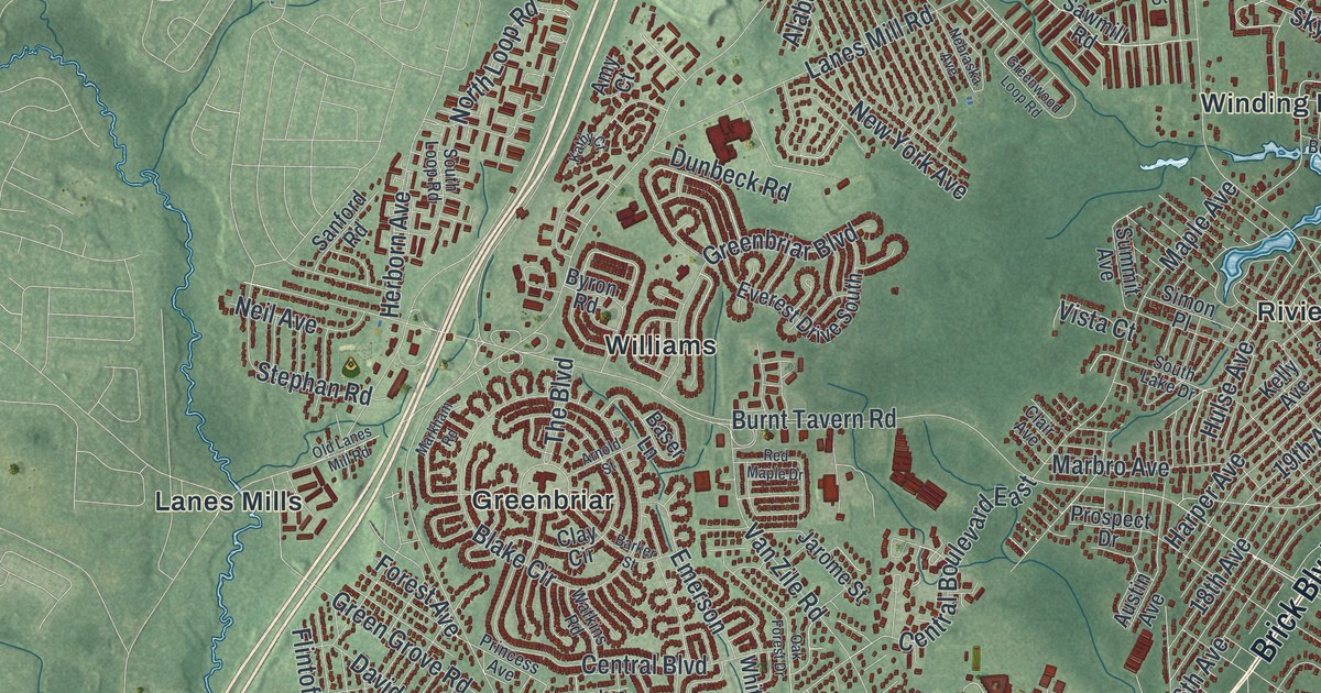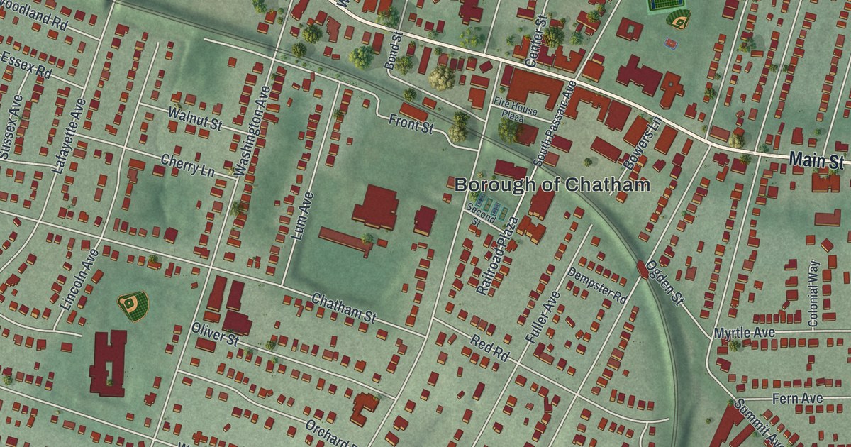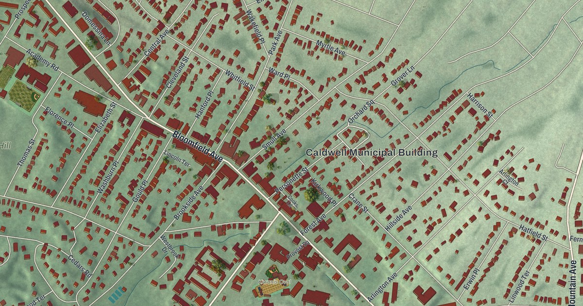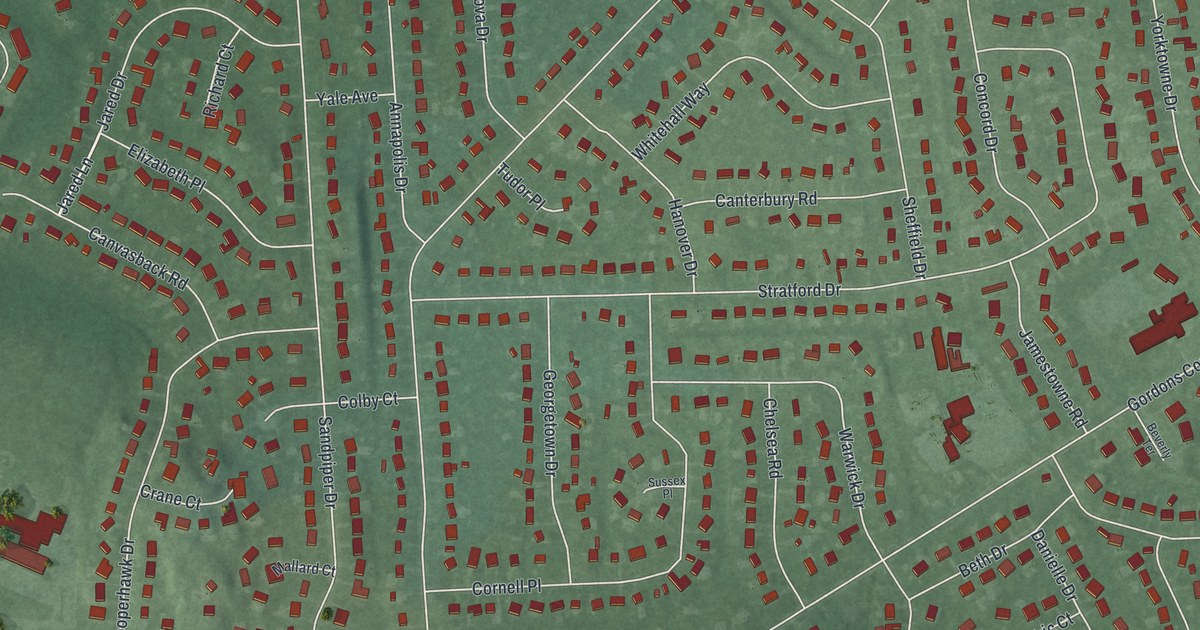
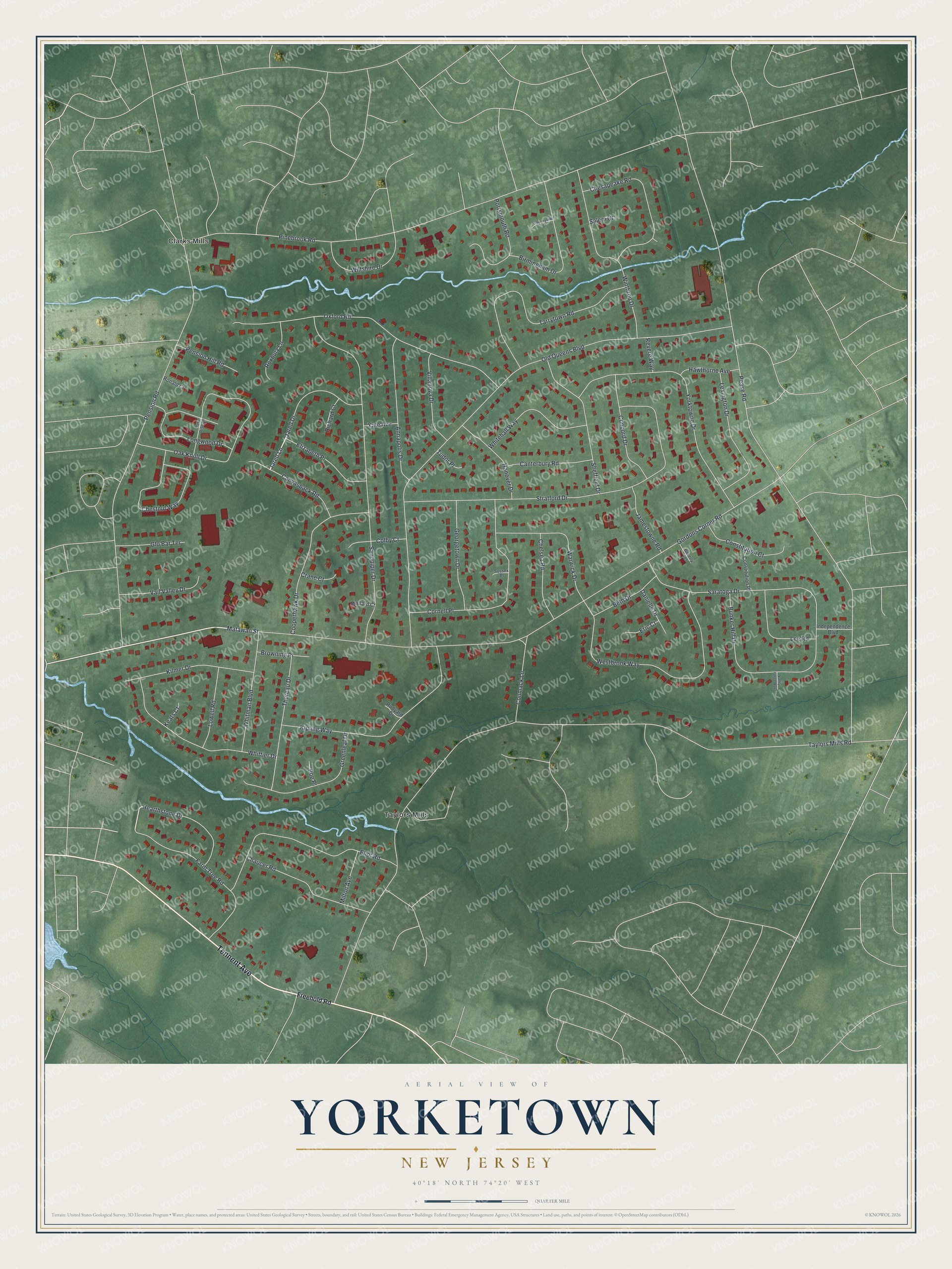
This beautifully detailed map of Yorketown, New Jersey was created in 2026 using aerial imagery combined with modern topographical, census, street and landmark data. It's a modern aerial view of Yorketown in Monmouth County, New Jersey, that combines modern data with a vintage aesthetic. The roads feature printed names, and if you look closely you can find your exact house accurately shown in its correct location.
Explore an aerial view of Yorketown, New Jersey
On this map you'll find Taylors Mills, Clarks Mills, Tennent Avenue, Matawan Street, Jared Lane, Gordons Corner Road, Taylors Mills Road, Pease Road, Old Queens Boulevard, Pinebrook Road, Pension Road, Stratford Drive, and more. Each red shape is a building, so zoom in on the preview and look for yours.
Yorketown is a community in Monmouth County. The Census Bureau counted 6,617 people here in 2020. The map prints the town name in its title panel, with the coordinates below it.
Take a closer look at the Yorketown map
Names on this map
These names are printed on this map.
Places: Taylors Mills and Clarks Mills.
Streets and roads: Tennent Avenue, Matawan Street, Jared Lane, Gordons Corner Road, Taylors Mills Road, Pease Road, Old Queens Boulevard, Pinebrook Road, Pension Road, Stratford Drive, Sandpiper Drive, Oxford Road.
More street names, A to Z
Annapolis Drive, Beth Drive, Beverly Terrace, Birmingham Drive, Browning Place, Bunker Hill Drive, Canterbury Road, Canvasback Road, Chaucer Road, Chelsea Road, Chesapeake Road, Chestnut Way, Colby Court, Concord Drive, Conmack Lane, Constitution Court, Constitution Place, Cooperhawk Drive, Cornell Place, Countryside Court, Crane Court, Danielle Drive, Eliot Road, Elizabeth Place, Eric Court, Farm Tree Road, Freehold Road, Georgetown Drive, Glo Bar Terrace, Greenleaf Drive, Hanover Drive, Hawthorne Avenue, Hearthstone Drive, Independence Boulevard, Jamestowne Road, Jared Drive, Keats Court, Kilmer Drive, Kipling Way, Lee Road, Lexington Drive, Longwood Drive, Lowell Road, Mallard Court, Milton Avenue, Oak Knoll Drive, Oak Rise Drive, Pension Hill Road, Poe Place, Portsmouth Road, Revere Way, Richard Court, Ronald Court, Roxbury Lane, Rudyard Drive, Salem Court, Saratoga Drive, Sheffield Drive, Sussex Place, Tarrytown Road, Thoreau Drive, Tudor Place, Vail Valley Drive, Valley Forge Way, Villanova Drive, Warwick Drive, Westbrook Way, Whitehall Way, Whitman Boulevard, Whittier Drive, Wiltshire Drive, Winthrop Drive, Yale Avenue, Yorktowne Drive.
See it on a wall
The Yorketown map as a framed print. Swipe for more.


Created by KNOWOL in 2026. The buildings are small red shapes, the roads carry their printed names, and shaded relief shows the shape of the land. The title panel reads "AERIAL VIEW OF YORKETOWN, NEW JERSEY" with 40°18' NORTH 74°20' WEST.
Hang it in the hallway, the office or the cabin, or give it to someone who left Yorketown and still calls it home. Open the preview and look for a street you know. See sizes and frames for the Yorketown map.