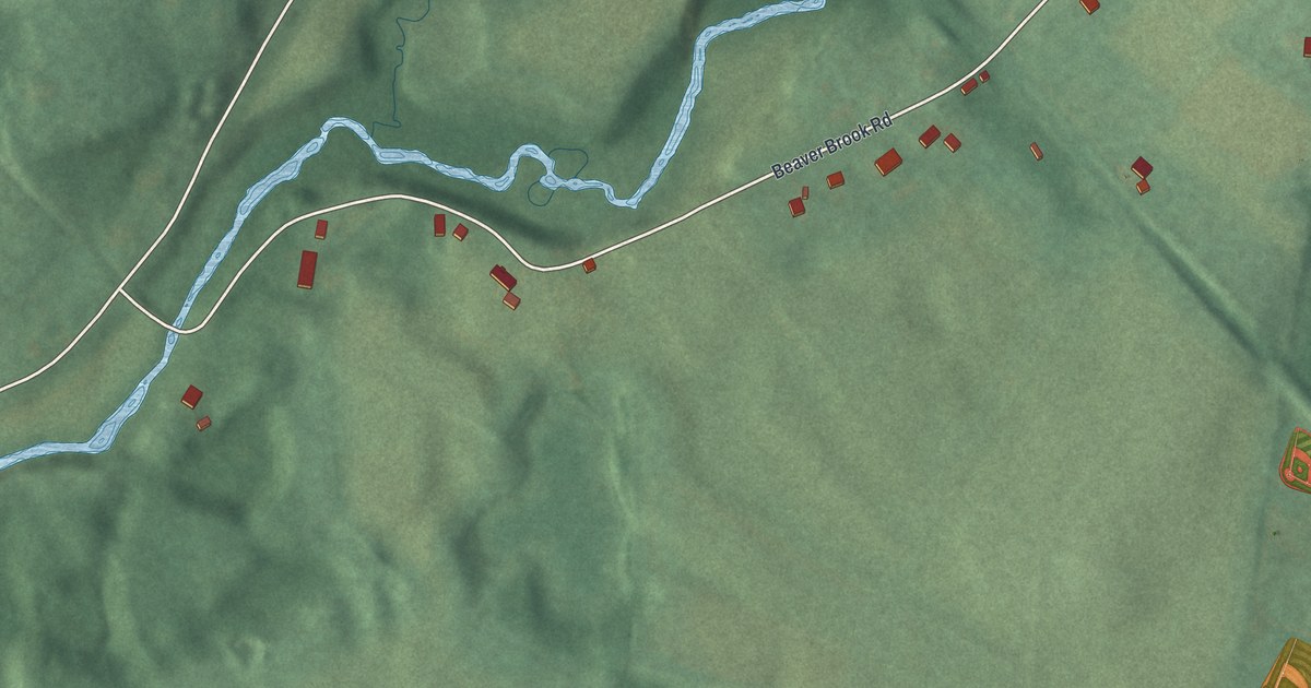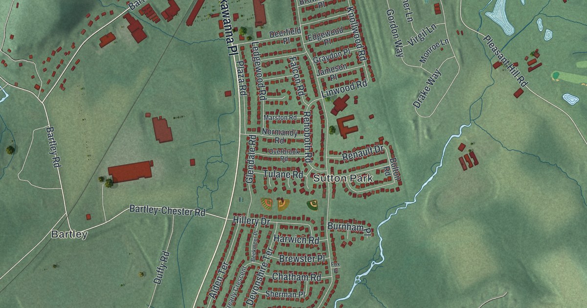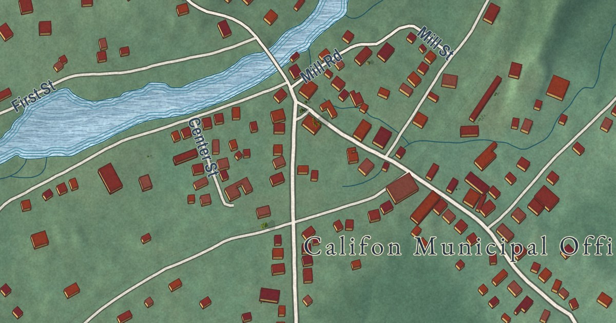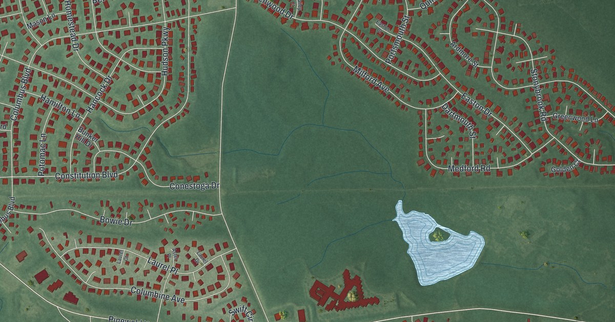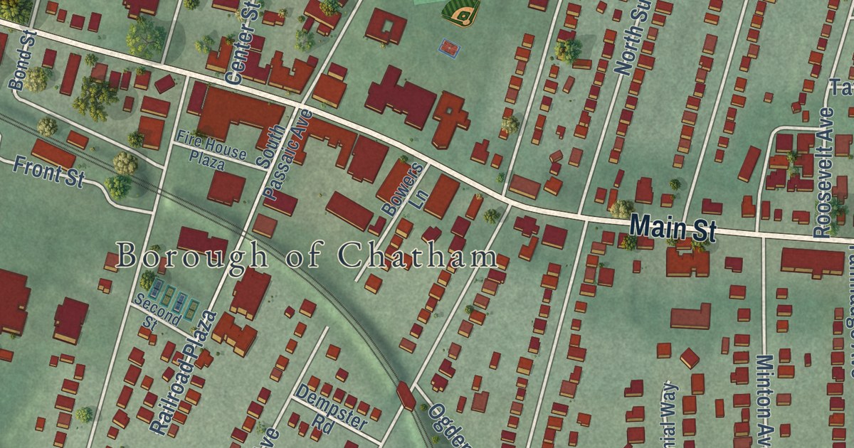
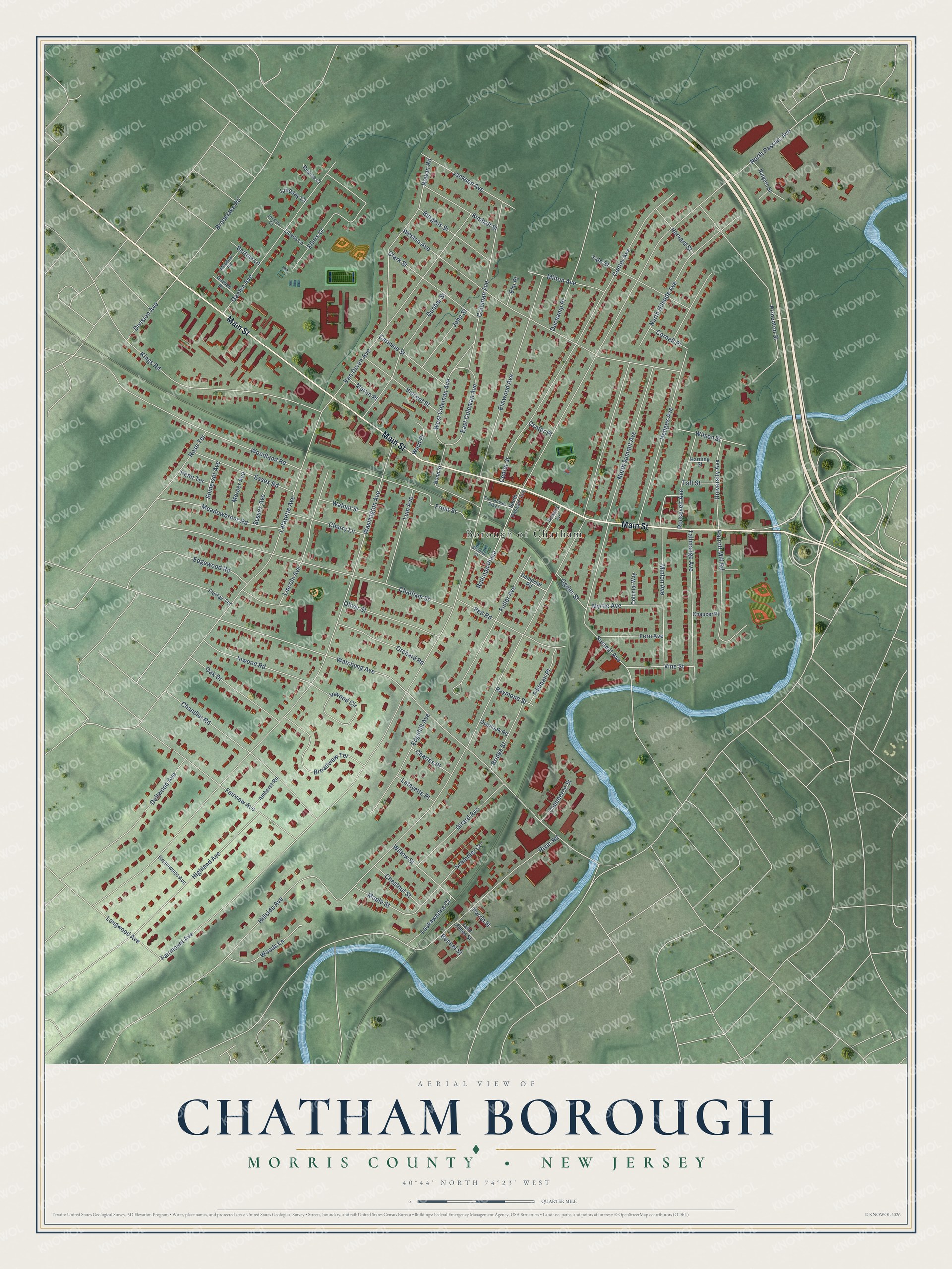
This beautifully detailed map of Chatham Borough, Morris County, New Jersey was created in 2026 using aerial imagery combined with modern topographical, census, street and landmark data. It’s a one-of-a-kind view of Chatham Borough that combines accurate data with a vintage aesthetic. The map shows every building in its true location, many of the roads carry their names, and the shaded topographic relief shows the shape of the land.
Explore an aerial view of Chatham Borough, Morris County, New Jersey
On the map you’ll find Main Street, Hillside Avenue, Fairmount Avenue, Washington Avenue, North Passaic Avenue, Watchung Avenue, Weston Avenue, North Hillside Avenue, River Road, Chatham Street, Center Avenue, and more. If you look closely you can even find your house accurately drawn in its correct location. Zoom in on the preview to look for yours.
Did You Know?
John Day made the first European settlement here in 1710, beside a Lenape crossing of the Passaic River. His village came to be called John Day’s Bridge, after the span he built over the river. In 1773 it was renamed Chatham. That honored William Pitt, Earl of Chatham, who spoke out for the rights of American colonists.
Take a closer look at the Chatham Borough, Morris County map
Names on this map
These names are printed on this map.
Places: Borough of Chatham.
Streets and roads: Main Street, Coleman Avenue, Watchung Avenue, Hillside Avenue, Fairmount Avenue, Washington Avenue, North Passaic Avenue, Weston Avenue, North Hillside Avenue, River Road, Chatham Street, Center Avenue.
More street names, A to Z
Amherst Road, Bartow Lane, Bond Street, Bonnel Street, Bowers Lane, Bridge Street, Broadview Terrace, Brooklake Road, Burgess Street, Carmine Street, Center Place, Center Street, Chandler Road, Charles Place, Chaucer Place, Cherry Lane, Chestnut Street, Clark Street, Colonial Way, Commerce Street, Cornell Place, Dellwood Avenue, Dempster Road, Division Avenue, Duchamp Place, Dunbar Street, East Coleman Avenue, Edgehill Avenue, Edgewood Road, Ellers Drive, Elm Place, Elmwood Avenue, Essex Road, Fairfax Terrace, Fairview Avenue, Fern Avenue, Fire House Plaza, Front Street, Fuller Avenue, Garden Avenue, Garden Place, Girard Avenue, Greenwood Avenue, Harding Street, Harvard Street, Hedges Avenue, Highland Avenue, Inwood Circle, Inwood Road, Jackson Avenue, Jessica Court, John Street, Kimball Street, Kings Road, Lackawanna Court, Lafayette Avenue, Lafayette Place, Lincoln Avenue, Lindsay Court, Lloyds Lane, Longwood Avenue, Lum Avenue, Maple Street, Martin Place, Meadowbrook Road, Meadow Road, Mercer Avenue, Milton Avenue, Minton Avenue, Myrtle Avenue, North Summit Avenue, Oak Drive, Ogden Street, Oliver Street, Orchard Road, Overlook Road, Parrott Mill Road, Penn Terrace, Perrin Street, Pihlman Place, Princeton Street, Railroad Plaza, Raymond Street, Red Road, Regina Court, Roosevelt Avenue, Rose Terrace, Rowan Road, Rutgers Street, Saint James Street, Schindler Court, Second Street, Somerset Avenue, South Passaic Avenue, Summit Avenue, Sussex Avenue, Taft Street, Tallmadge Avenue, University Avenue, Van Doren Avenue, Vincent Street, Vine Street, Walnut Street, Ward Place, West Coleman Avenue, Willow Street, Wilson Street, Woodland Road, Woods Lane, Yale Street.
See it on a wall
The Chatham Borough, Morris County map as an 18 x 24 inch print in a black frame.

This beautifully detailed map of Chatham Borough, Morris County makes an attractive addition to your office, library, or den, and it can even be used to teach children the geography and history of the area. It also makes a great gift for anyone with Chatham Borough roots. When you’re done exploring, click here to get your copy of the Chatham Borough, Morris County map.