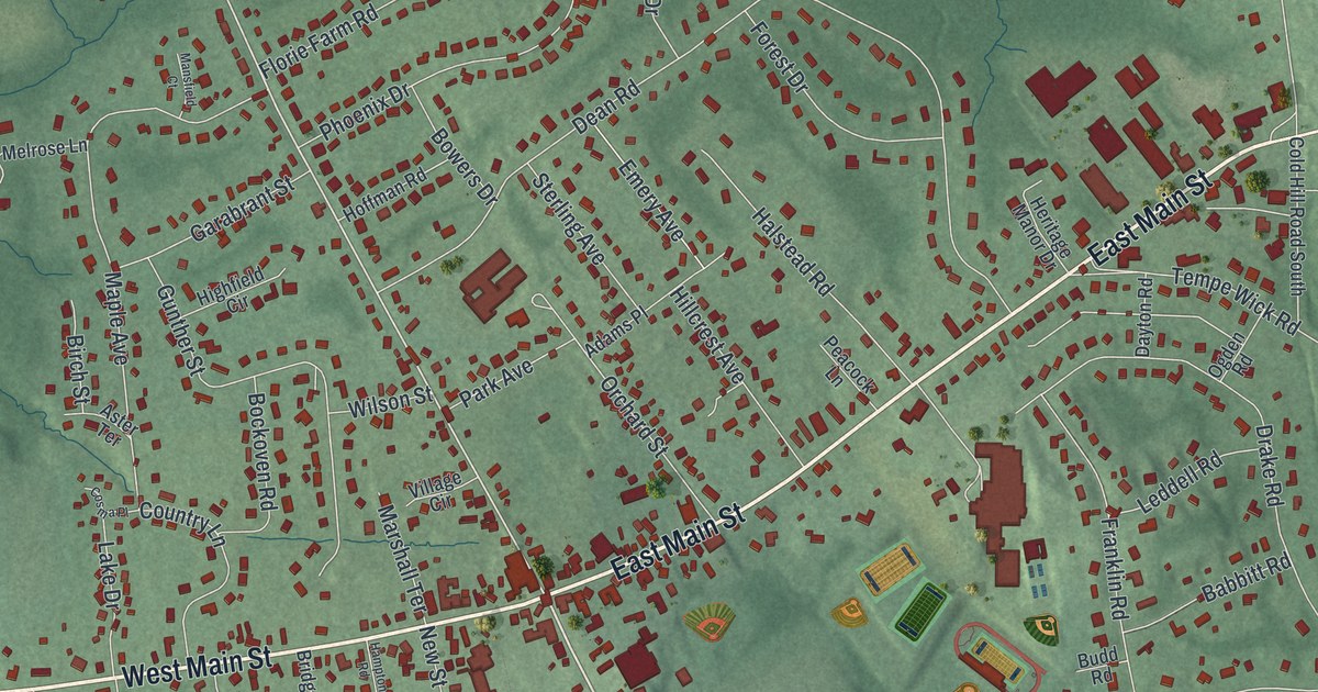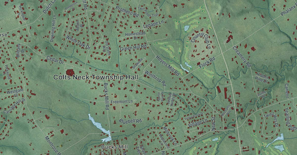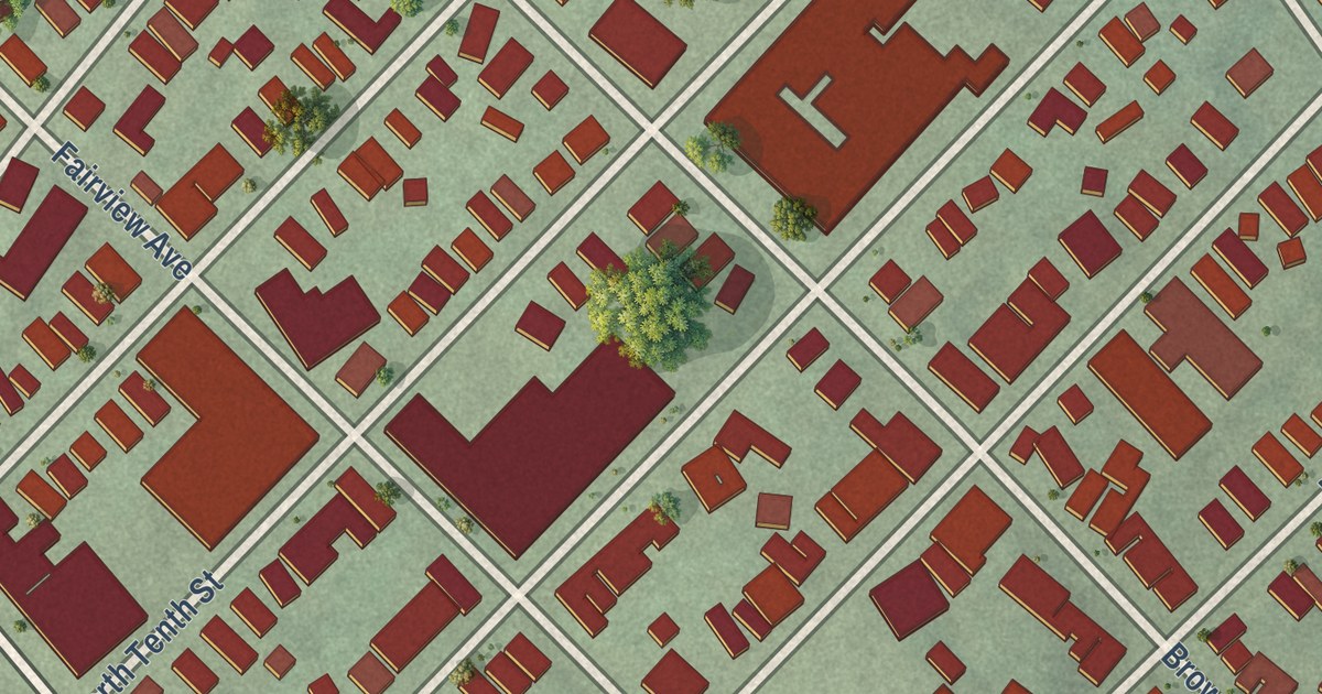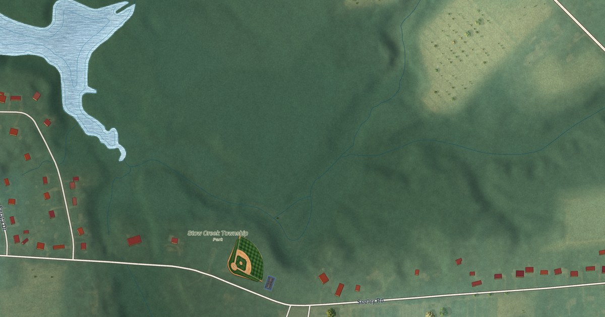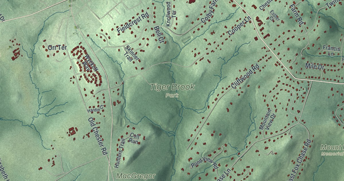
This beautifully detailed map of Chester, Morris County, New Jersey was created in 2026 using aerial imagery combined with modern topographical, census, street and landmark data. It’s a one-of-a-kind view of Chester that combines accurate data with a vintage aesthetic. The map shows every building in its true location, many of the roads carry their names, and the shaded topographic relief shows the shape of the land.
Explore an aerial view of Chester, Morris County, New Jersey
On the map you’ll find Chester Township Municipal Offices, Hacklebarney, Evans Family Preserve, Highlands Ridge Park, MacGregor Preserve, Mount Paul Memorial Park, Tiger Brook Park, Milltown, and Pleasant Hill, along with Washington Turnpike, Old Chester Gladstone Road, Old Chester Road, and more. If you look closely you can even find your house accurately drawn in its correct location. Zoom in on the preview to look for yours.
Take a closer look at the Chester, Morris County map
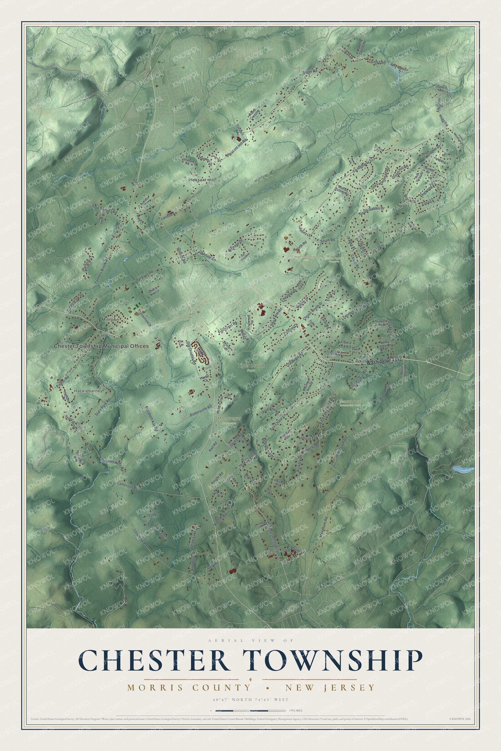
Names on this map
These names are printed on this map.
Places: Chester Township Municipal Offices, Hacklebarney, Evans Family Preserve, Highlands Ridge Park, MacGregor Preserve, Mount Paul Memorial Park, Tiger Brook Park, Pleasant Hill and Milltown.
Streets and roads: Washington Turnpike, Hillside Road, Four Bridges Road, Old Chester Gladstone Road, Hugg Road, Pottersville Road, Old Chester Road, North Road, Tanners Brook Road, Hacklebarney Road, Springcroft Road, Pleasant Hill Road.
More street names, A to Z
Ashland Terrace, Bamboo Lane, Beacon Hill Drive, Bell Court, Benjamin Road, Brook Drive, Burnett Drive, Byron Court, Carilisle Court, Catan Drive, Cedar Ridge Drive, Cherry Tree Lane, Chesterbrook Road, Chesterfield Drive, Chester Place, Chester Woods Drive, Chestnut Drive, Chilton Road, Cliffwood Road, Colby Farm Road, Colt Run, Cooper Lane, Cora Lane, County Highway 513, Cowie Road, Cramer Drive, Cromwell Drive, Daly Road, Deer Court, Delwood Road, Dogwood Drive, Downing Court, Duffy Road, East Fox Chase Road, Elizabeth Kay Road, Erick Court, Esther Court, Evergreen Drive, Farm Road, Fieldcrest Road, Flanders Road, Forest View Drive, Fox Chase Lane, Fox Chase Road, Francis Lane, Furnace Road, Golf Course Road, Green Hill Road, Hall Road, Hardin Court, Heath Drive, Hickory Drive, Highland Drive, Horton Drive, Howell Drive, Huemer Lane, Hunters Trail, Ironia Mendham Road, Ironia Road, Knight Road, Knollwood Terrace, Lamerson Road, Larison Road, Laurel Lane, Laurel Place, Linabary Lane, Longview Road, Luce Court, Melrose Drive, Mendham Road, Mile Drive, Ming Court, Mountain View Drive, Mount Paul Place, Mount Paul Road, Oakdale Road, Old Farmstead Road, Old Forge Road, Old Four Bridges Road, Old Mill Road, Orchard Drive, Orr Terrace, Overlook Terrace, Parker Road, Parks Lane, Patrey Court, Pond View Road, Prides Crossing, Red Oak Row, Reger Road, Robin Court, Rock Spring Road, Rogers Road, Runyan Place, Ryan Court, Saint Bernards Road, Selma Boulevard, Skinner Trail, South Gables Drive, South Road, Spring Lake Drive, Stanley Place, State Park Road, Tennis Road, Trout Brook Court, Twinbrooks Trail, Valley Place, Valley View Drive, Walnut Hill Drive, Warren Cutting Road, Willow Drive, Winding Way, Woodhull Drive, Wortman Way, Wyckoff Way.
See it on a wall
The Chester Township, Morris County map as an 18 x 24 inch print in a black frame.

This beautifully detailed map of Chester, Morris County makes an attractive addition to your office, library, or den, and it can even be used to teach children the geography and history of the area. It also makes a great gift for anyone who grew up in Chester or moved away. When you’re done exploring, click here to get your copy of the Chester, Morris County map.