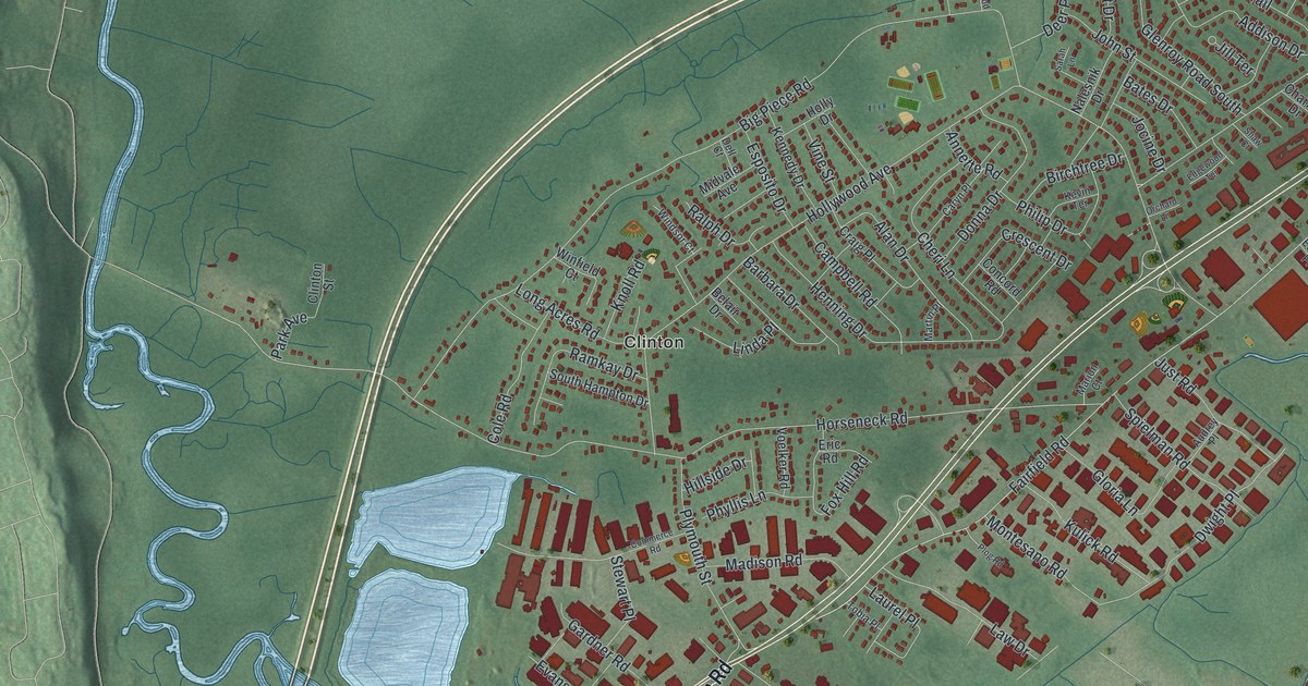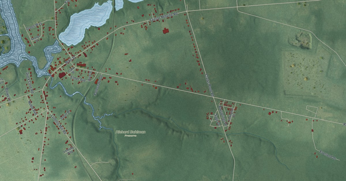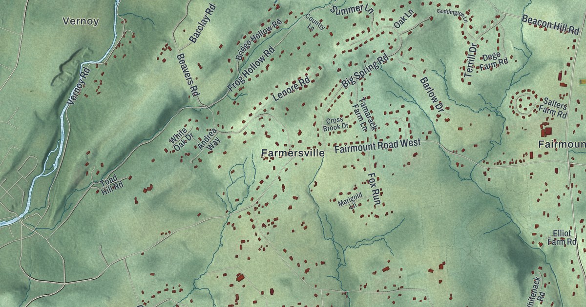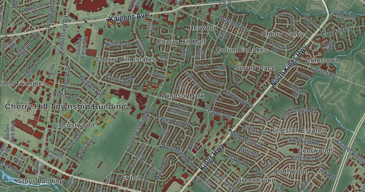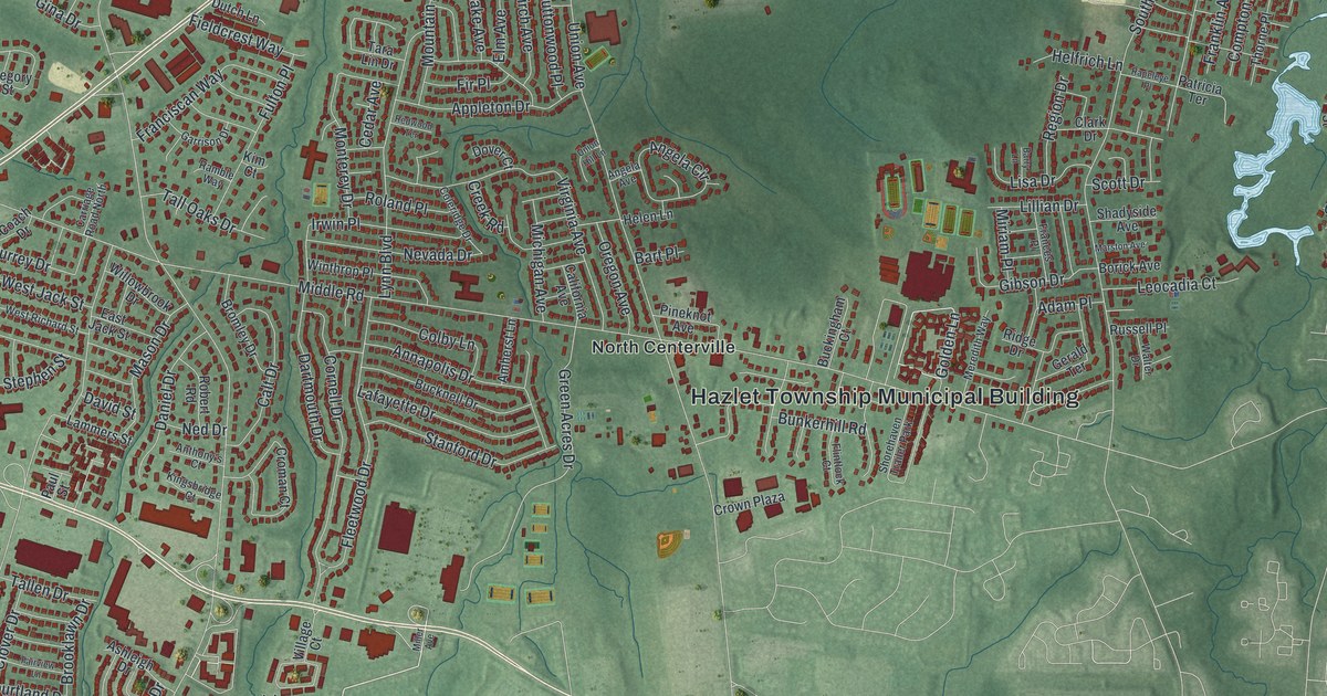
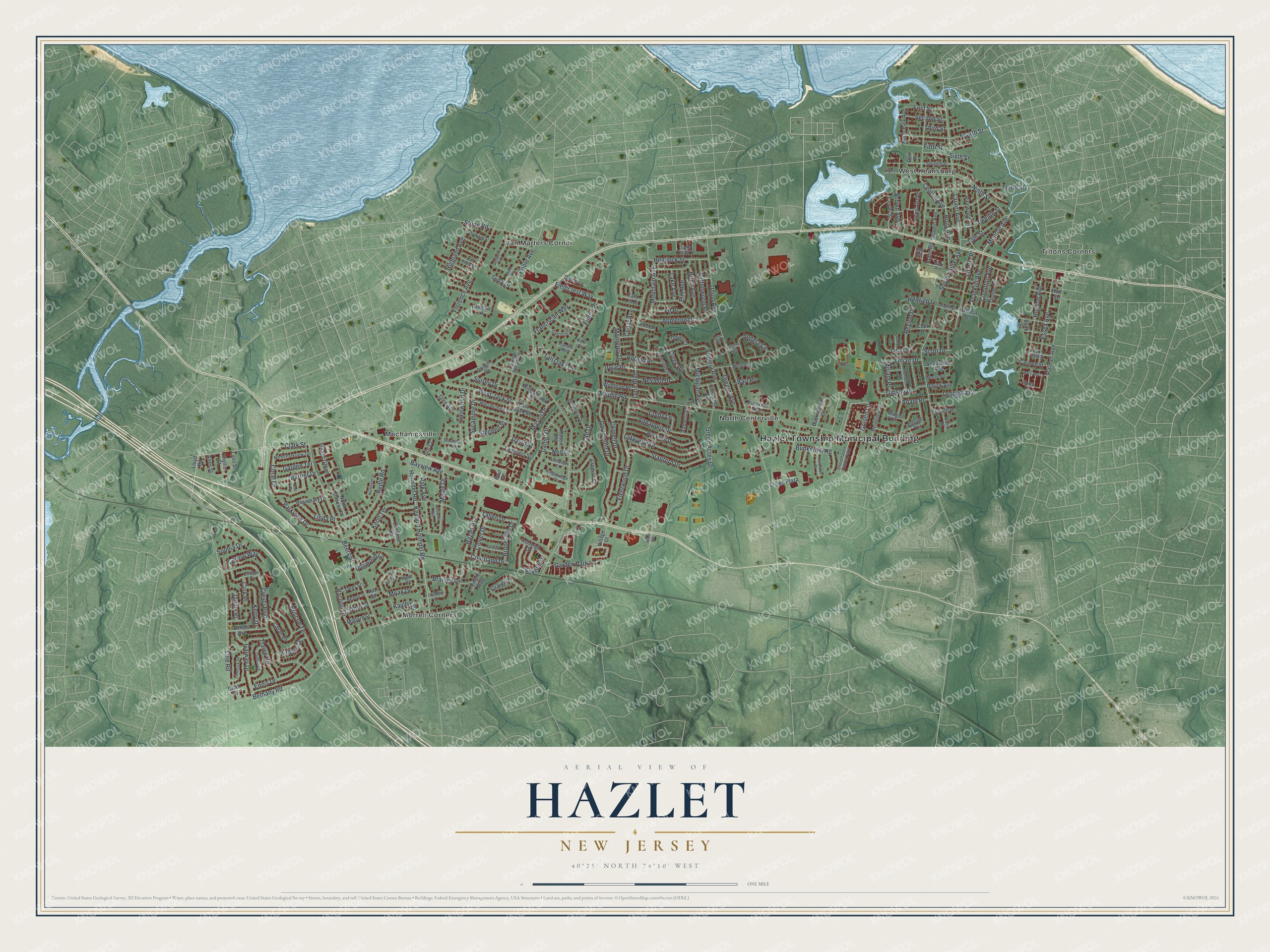
This beautifully detailed map of Hazlet, New Jersey was created in 2026 using aerial imagery combined with modern topographical, census, street and landmark data. It’s a one-of-a-kind view of Hazlet that combines accurate data with a vintage aesthetic. The map shows every building in its true location, many of the roads carry their names, and the shaded topographic relief shows the shape of the land.
Explore an aerial view of Hazlet, New Jersey
On the map you’ll find Hazlet Township Municipal Building, Mechanicsville, Morrell Corners, North Centerville, Tiltons Corners, Van Marters Corner, and West Keansburg, along with Florence Avenue, Green Acres Drive, Golden Lane, Monroe Avenue, Middle Road, and more. If you look closely you can even find your house accurately drawn in its correct location. Zoom in on the preview to look for yours.
Did You Know?
Hazlet began in 1848 as Raritan Township, carved from part of Middletown. Voters renamed it Hazlet in 1967. The name honors Dr. John Hazlett, who had an estate in the old township near what is now Holmdel Road.
Take a closer look at the Hazlet map
Names on this map
These names are printed on this map.
Places: Hazlet Township Municipal Building, Mechanicsville, Morrell Corners, North Centerville, Tiltons Corners, Van Marters Corner, West Keansburg and Shorehaven Trailer Park.
Streets and roads: Florence Avenue, Green Acres Drive, Golden Lane, Monroe Avenue, Middle Road, Bethany Road, Poole Avenue, Union Avenue, Hazlet Avenue, South Laurel Avenue, Beers Street, Holmdel Road.
More street names, A to Z
13th Street, Adam Place, Allen Street, Amherst Lane, Angela Avenue, Angela Circle, Annapolis Drive, Ann Court, Anthony's Court, Appleton Drive, Ashleigh Drive, Atoll Place, Bank Street, Barrier Drive, Barry Lane, Bart Place, Bayview Avenue, Beaver Street, Bedle Road, Belfast Avenue, Birch Avenue, Borick Avenue, Bow Avenue, Brailley Lane, Brian Court, Briscoe Terrace, Bromley Drive, Brooklawn Drive, Brown Avenue, Buckingham Court, Bucknell Drive, Bunkerhill Road, Buttonwood Place, California Avenue, Calt Drive, Carlow Way, Carmen Street, Carriage Road North, Cavan Lane, Cedar Avenue, Center Street, Central Avenue, Chestnut Drive, Clark Drive, Clark Street, Clover Drive, Coach Drive, Colby Lane, Coleridge Drive, Compton Avenue, Convent Court, Coral Drive, Cork Place, Cornell Drive, Courtland Drive, Craig Street, Creek Road, Cresci Boulevard, Croman Court, Crown Plaza, Daniel Drive, Dartmouth Drive, Davern Avenue, David Street, Deer Street, Delaware Avenue, Dogwood Lane, Dover Court, Dublin Lane, Dundall Place, Dutch Lane, East Jack Street, East Poplar Street, Eighth Street, Elm Avenue, Ennis Drive, Essex Avenue, Fairview Lane, Fieldcrest Way, Fifth Street, Fir Place, First Street, Fleetwood Drive, Flintlock Court, Fourth Street, Frances Place, Franciscan Way, Franklin Avenue, Fulton Place, Galewood Drive, Galway Drive, Garden Park Lane, Garden Terrace, Garrison Drive, Gary Avenue, Gerald Terrace, Gibson Drive, Gina Drive, Glen Avenue, Gregory Street, Hart Street, Helen Lane, Helfrich Lane, Hemlock Street, Highland Avenue, Hill Street, Holly Avenue, Hudson Avenue, Irwin Place, Janine Place, John Street, Kaylen Place, Kerry Drive, Keyport Holmdel Road, Kildare Drive, Kim Court, Kingsbridge Court, Knoll Terrace, Lafayette Drive, Lake Avenue, Lammers Street, Laurel Avenue, Leocadia Court, Liberty Place, Lillian Drive, Limerick Place, Linda Place, Line Road, Lisa Drive, Lloyd Road, Locust Grove, Lynn Boulevard, Lynn Street, Mallard Street, Maple Drive, Marston Avenue, Mary Ann Court, Mason Drive, Meadow Court, Meredith Way, Michigan Avenue, Miller Avenue, Miriam Place, Moak Drive, Monterey Drive, Mountain Avenue, Ned Drive, Nevada Drive, Ninth Street, North Clark Street, Northfield Court, North Park Avenue, North Parkview Terrace, North Stevens Place, Orchard Street, Oregon Avenue, Otter Street, Palmer Avenue, Park Avenue, Parkview Drive, Patricia Terrace, Paul Street, Peri Place, Peter Place, Phyllis Street, Pineknot Avenue, Pinewood Avenue, Racoon Drive, Ramble Way, Rapeleye Place, Redwood Terrace, Region Drive, Ridge Drive, Robert Road, Robin Road, Roland Place, Rosemary Drive, Rothbard Road, Russell Place, Sams Trailer Court, Scott Drive, Second Street, Seventh Street, Shadyside Avenue, Sixth Street, Skyline Drive, Sophia Drive, Stanford Drive, Stephen Street, Stonehurst Terrace, Stone Road, Surrey Drive, Sycamore Drive, Tallen Drive, Tall Oaks Drive, Tara Lin Drive, Templer Way, Tenth Street, Third Street, Thorne Place, Tralee Road, Twelfth Street, Union Hill Lane, Village Court, Village Green, Virginia Avenue, Walter Drive, West Jack Street, West Richard Street, Willowbrook Drive, Winthrop Place, Wood Road.
See it on a wall
The Hazlet map as an 18 x 24 inch print in a black frame.

This beautifully detailed map of Hazlet makes an attractive addition to your office, library, or den, and it can even be used to teach children the geography and history of the area. It also makes a great gift for anyone with Hazlet roots. When you’re done exploring, click here to get your copy of the Hazlet map.