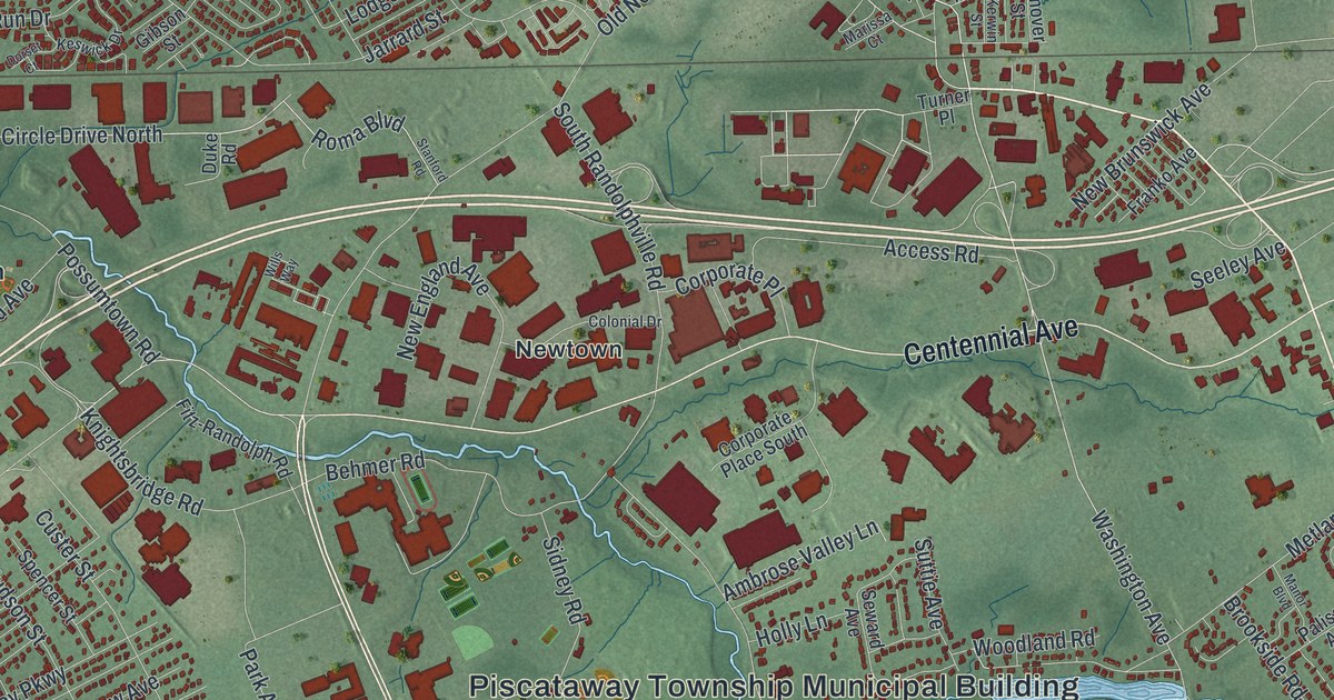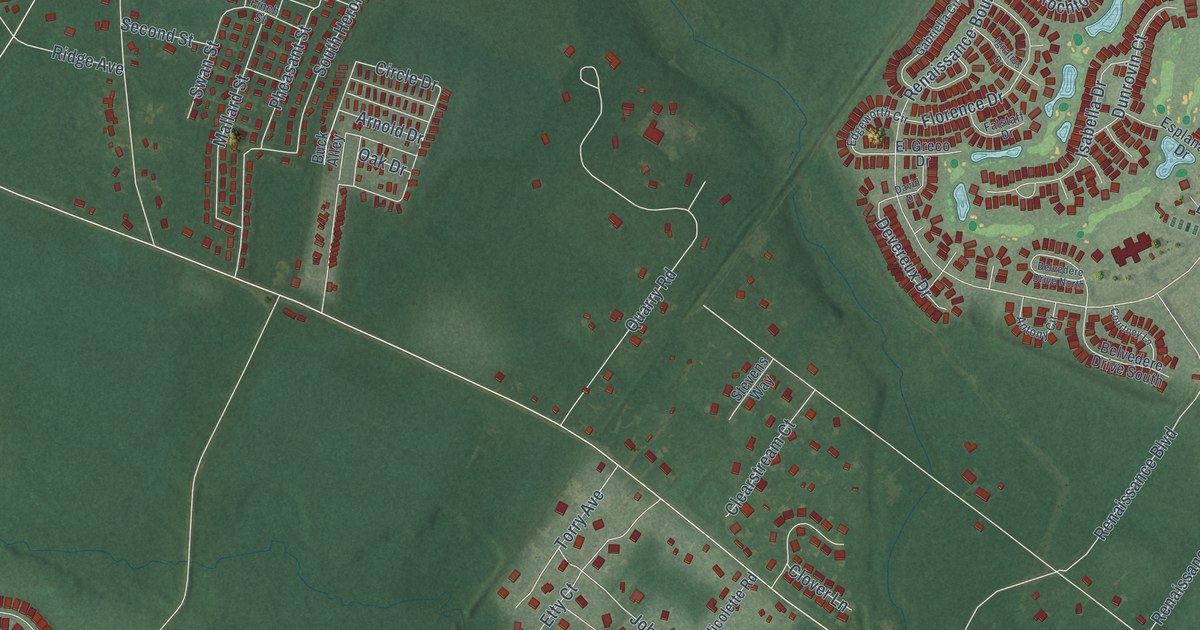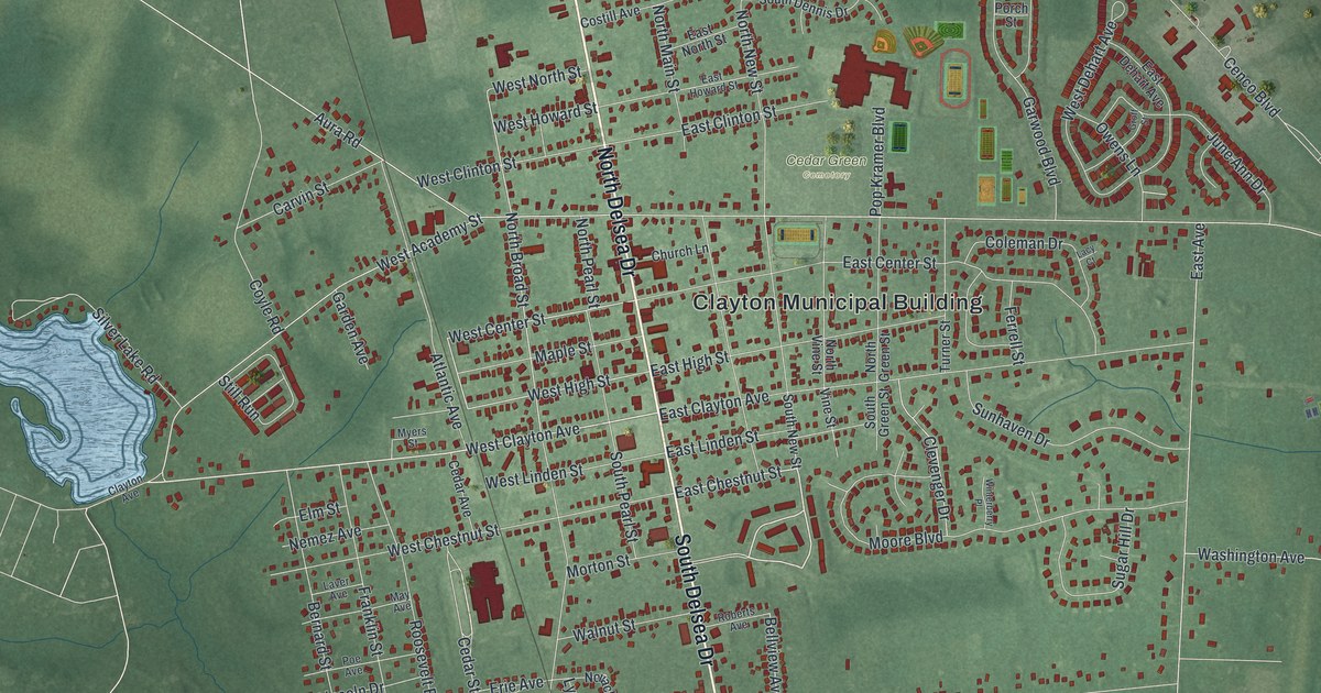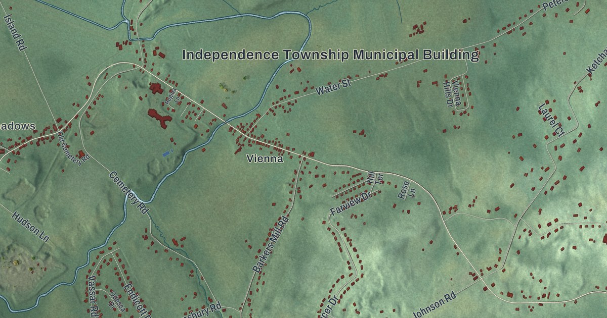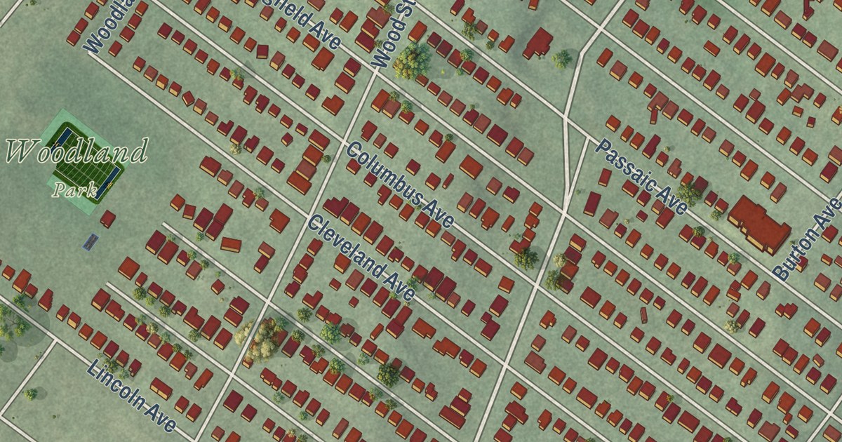
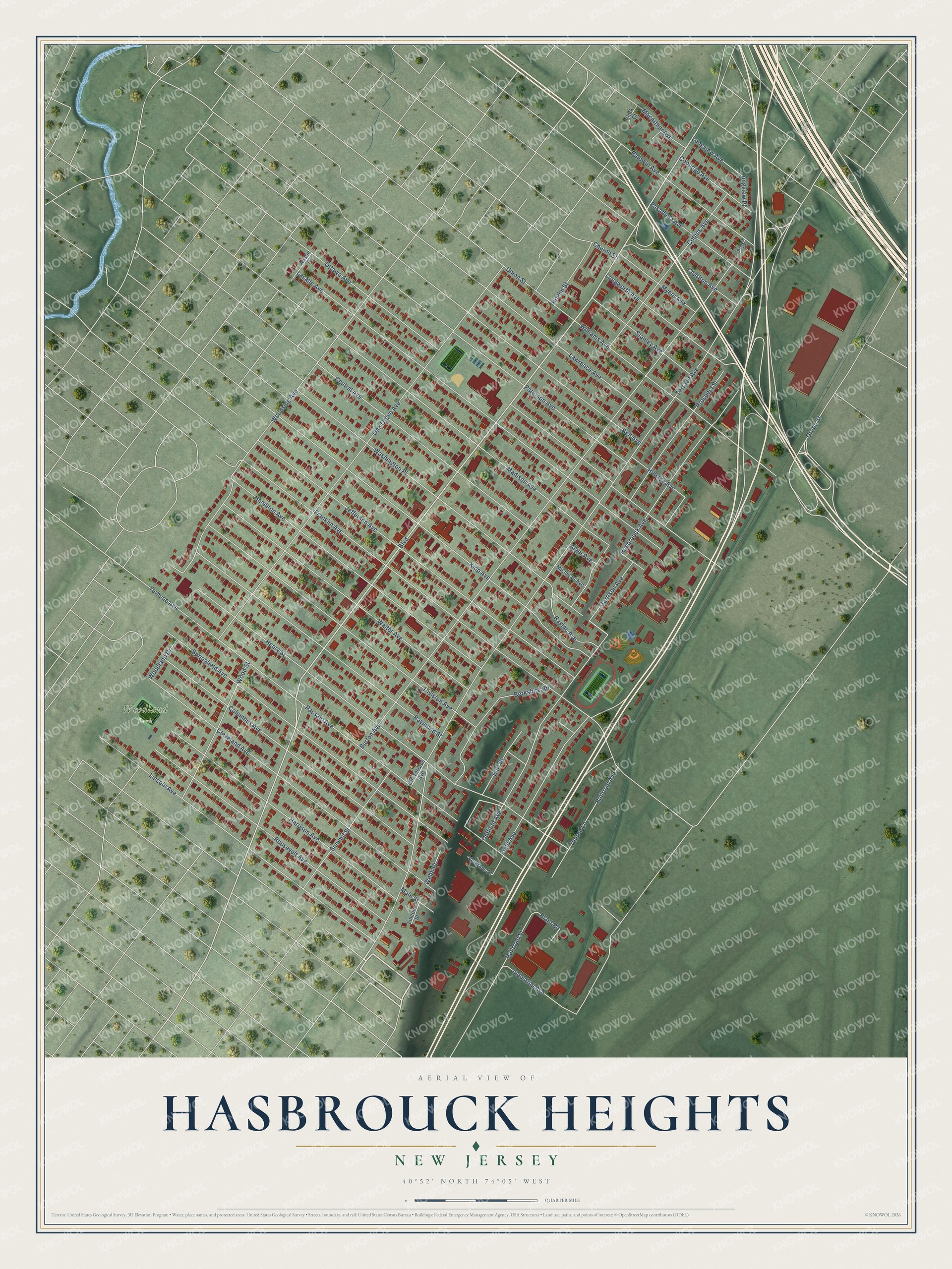
This beautifully detailed map of Hasbrouck Heights, New Jersey was created in 2026 using aerial imagery combined with modern topographical, census, street and landmark data. It’s a one-of-a-kind view of Hasbrouck Heights that combines accurate data with a vintage aesthetic. The map shows every building in its true location, many of the roads carry their names, and the shaded topographic relief shows the shape of the land.
Explore an aerial view of Hasbrouck Heights, New Jersey
On the map you’ll find Depken Field, Woodland Park, and Washington Place, along with Boulevard, Terrace Avenue, Burton Avenue, Franklin Avenue, Oak Grove Avenue, Lasalle Avenue, Henry Street, Ottawa Avenue, Passaic Avenue, and more. If you look closely you can even find your house accurately drawn in its correct location. Zoom in on the preview to look for yours.
Did You Know?
From the mid-1800s the area was known as Corona, and it grew around two railroad stations. In 1889 it was renamed to honor Jacob Dillon Hasbrouck, who managed a local railroad. Heights was added so the place would not be confused with a similar community upstate.
Take a closer look at the Hasbrouck Heights map
Names on this map
These names are printed on this map.
Places: Woodland Park.
Streets and roads: Boulevard, Washington Place, Terrace Avenue, Burton Avenue, Franklin Avenue, Oak Grove Avenue, Lasalle Avenue, Henry Street, Ottawa Avenue, Passaic Avenue, Kipp Avenue, Jefferson Avenue.
More street names, A to Z
Alger Avenue, Austin Place, Baldwin Avenue, Baldwin Terrace, Bell Avenue, Berkshire Road, Burr Place, Central Avenue, Charlton Avenue, Church Street, Clark Court, Cleveland Avenue, Collins Avenue, Columbus Avenue, Coolidge Avenue, Division Avenue, Field Avenue, Garrison Avenue, Green Street, Hamilton Avenue, Harrison Avenue, Hasbrouck Avenue, Hillside Avenue, Hoehn Street, Industrial Avenue, Lawrence Avenue, Lincoln Avenue, Lincoln Street, Longview Avenue, Longview Place, Longworth Avenue, Macarthur Avenue, Madison Avenue, Main Street, Michigan Avenue, Myers Avenue, Oldfield Avenue, Old Terrace Avenue, Pasadena Avenue, Paterson Avenue, Plant Road, Prospect Street, Railroad Avenue, Railroad Street, Ravine Avenue, Raymond Street, Roosevelt Avenue, Springfield Avenue, Stanley Avenue, Summit Street, Terhune Avenue, Union Street, United Lane, Veterans Place, Walter Avenue, Webb Place, Williams Avenue, Woodland Drive, Woodside Avenue, Wood Street.
See it on a wall
The Hasbrouck Heights map as an 18 x 24 inch print in a black frame.

This beautifully detailed map of Hasbrouck Heights makes an attractive addition to your office, library, or den, and it can even be used to teach children the geography and history of the area. It also makes a great gift for anyone with Hasbrouck Heights roots. When you’re done exploring, click here to get your copy of the Hasbrouck Heights map.