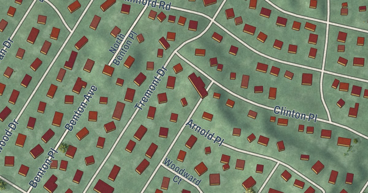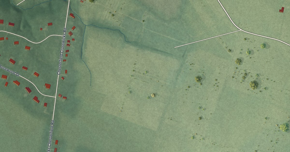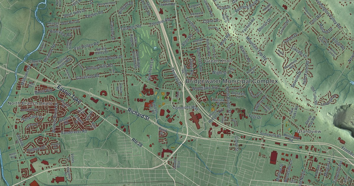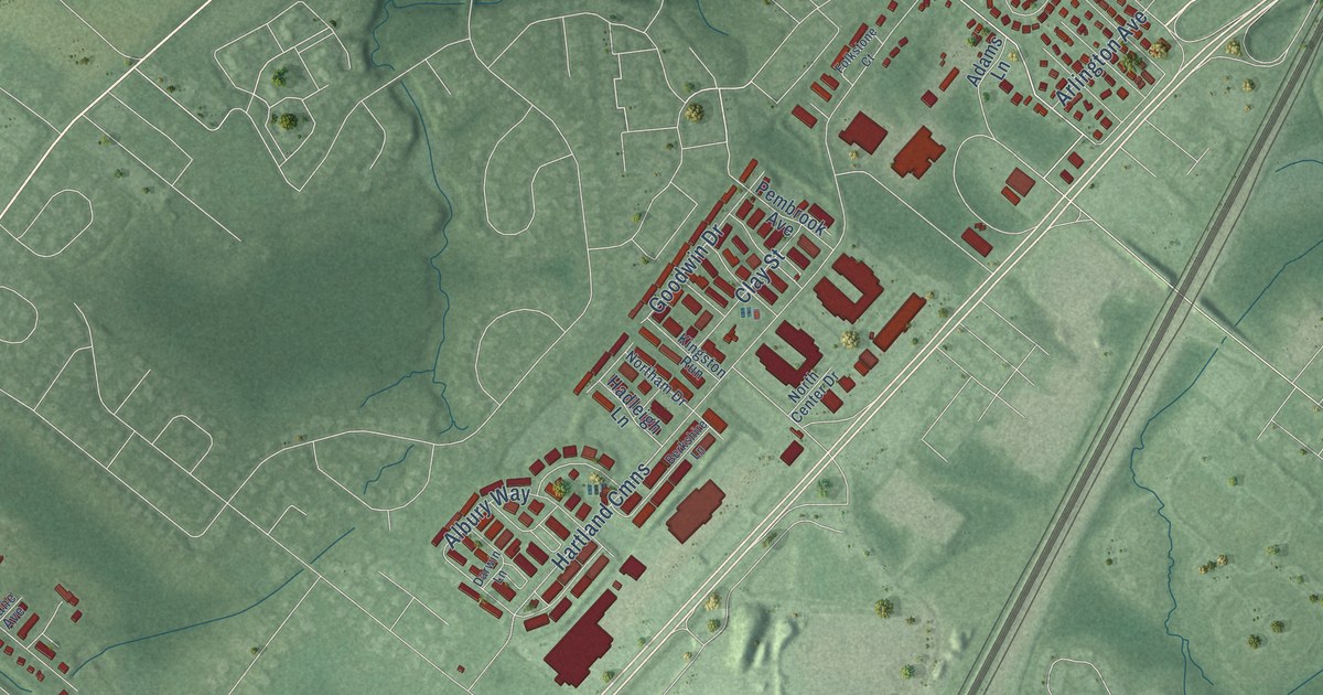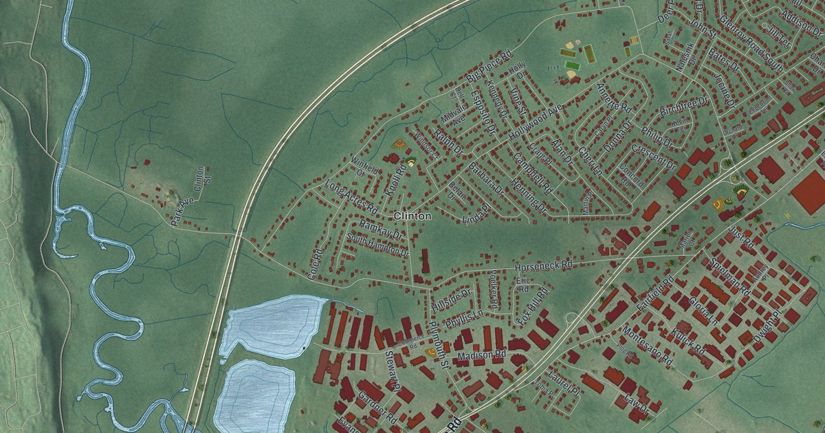
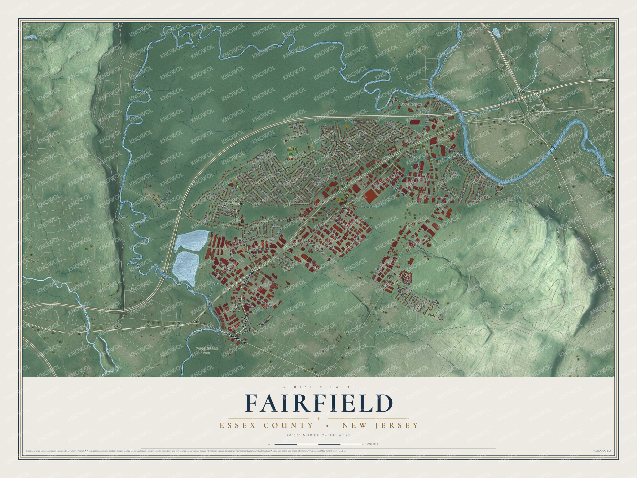
This beautifully detailed map of Fairfield, Essex County, New Jersey was created in 2026 using aerial imagery combined with modern topographical, census, street and landmark data. It’s a one-of-a-kind view of Fairfield that combines accurate data with a vintage aesthetic. The map shows every building in its true location, many of the roads carry their names, and the shaded topographic relief shows the shape of the land.
Explore an aerial view of Fairfield, Essex County, New Jersey
On the map you’ll find Two Bridges, West Essex Park, and Clinton, along with Oak Road, Clinton Road, Little Falls Road, Fairfield Road, Two Bridges Road, Horseneck Road, Hollywood Avenue, Passaic Avenue, Big Piece Road, and more. If you look closely you can even find your house accurately drawn in its correct location. Zoom in on the preview to look for yours.
Take a closer look at the Fairfield, Essex County map
Names on this map
These names are printed on this map.
Places: Two Bridges, West Essex Park and Clinton.
Streets and roads: Oak Road, Clinton Road, Little Falls Road, Fairfield Road, Two Bridges Road, Horseneck Road, Hollywood Avenue, Passaic Avenue, Big Piece Road, Sand Road, Henning Drive, Dwight Place.
More street names, A to Z
Addison Drive, Alan Drive, Annette Road, Audrey Place, Barbara Drive, Bates Drive, Belair Drive, Beverly Road, Birchtree Drive, Bloomfield Avenue, Briarwood Drive, Brook Street, Campbell Road, Camp Lane, Carl Drive, Carlos Drive, Caryn Place, Charles Drive, Cheri Lane, Clinton Street, Club Road, Cole Road, Colt Street, Commerce Road, Concord Road, Craig Place, Crescent Drive, Dale Drive, Daniel Road, Deer Park Road, Dell Court, Donna Drive, Edgewood Terrace, Edison Place, Eldridge Road, Eric Road, Esposito Drive, Evans Street, Fairfield Court, Fleetwood Avenue, Forest Place, Fox Hill Road, Gardner Road, Glen Avenue, Glendale Lane, Glenroy Road East, Glenroy Road South, Gloria Lane, Harding Drive, Hillside Drive, Holly Drive, Industrial Road, Inwood Terrace, Jill Terrace, Jocine Drive, John Street, Just Road, Kaplan Drive, Kennedy Drive, Kevin Terrace, Kingsbridge Road, Knoll Road, Kulick Road, Lane Road, Laurel Place, Law Drive, Lebeda Drive East, Linda Place, Long Acres Road, Ludsin Lane, Madison Road, Marion Court, Martin Place, Martins Lane, Matt Drive, Midvale Avenue, Mill Street, Montesano Road, Nalesnik Drive, New Dutch Lane, Oakland Terrace, Old Country Road, Old Sand Road, Orchard Lane, Orlando Drive, Park Avenue, Philip Drive, Phyllis Lane, Pier Lane, Pier Lane West, Plog Road, Plymouth Street, Ralph Drive, Ramkay Drive, Ray Place, Riveredge Drive, Sarah Lane, Schindler Way, Seely Street, Shaw Court, Sherwood Lane, Shire Avenue, South Hampton Drive, Sperry Road, Spielman Road, Stag Trail, Stewart Place, Summit Avenue, Sunset Road, Tobia Place, Vine Street, Voelker Road, Washington Avenue, West Drive, West Greenbrook Road, Windsor Court, Winfield Court.
See it on a wall
The Fairfield, Essex County map as an 18 x 24 inch print in a black frame.

This beautifully detailed map of Fairfield, Essex County makes an attractive addition to your office, library, or den, and it can even be used to teach children the geography and history of the area. It also makes a great gift for someone who left Fairfield and still calls it home. When you’re done exploring, click here to get your copy of the Fairfield, Essex County map.