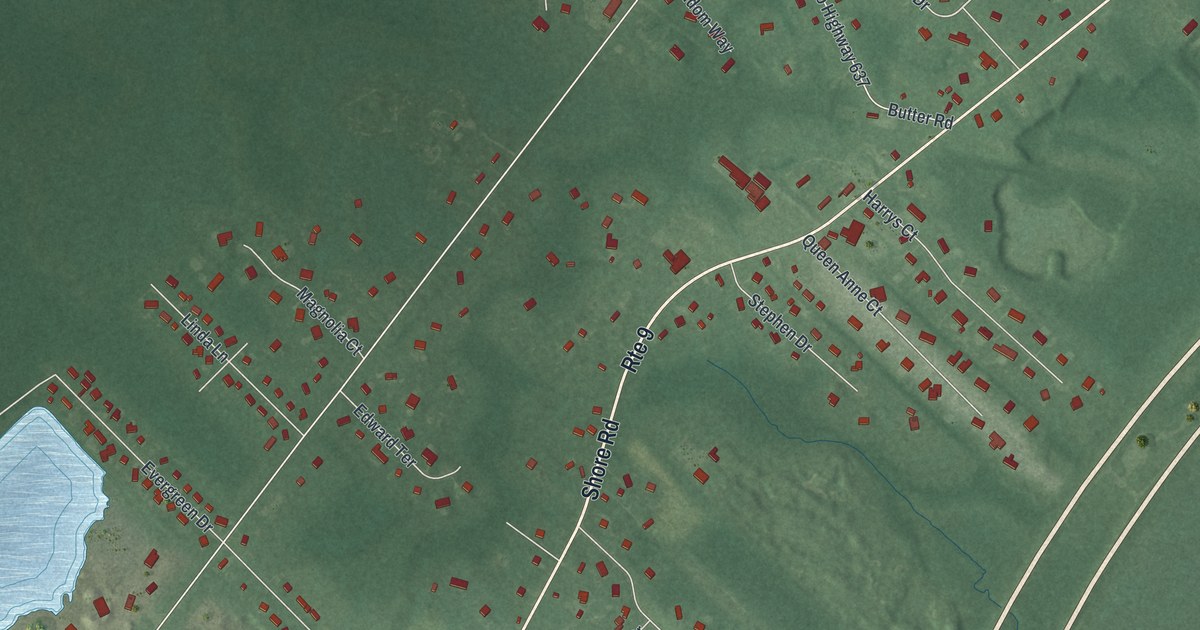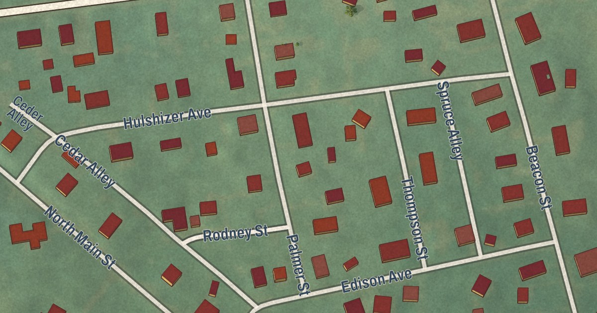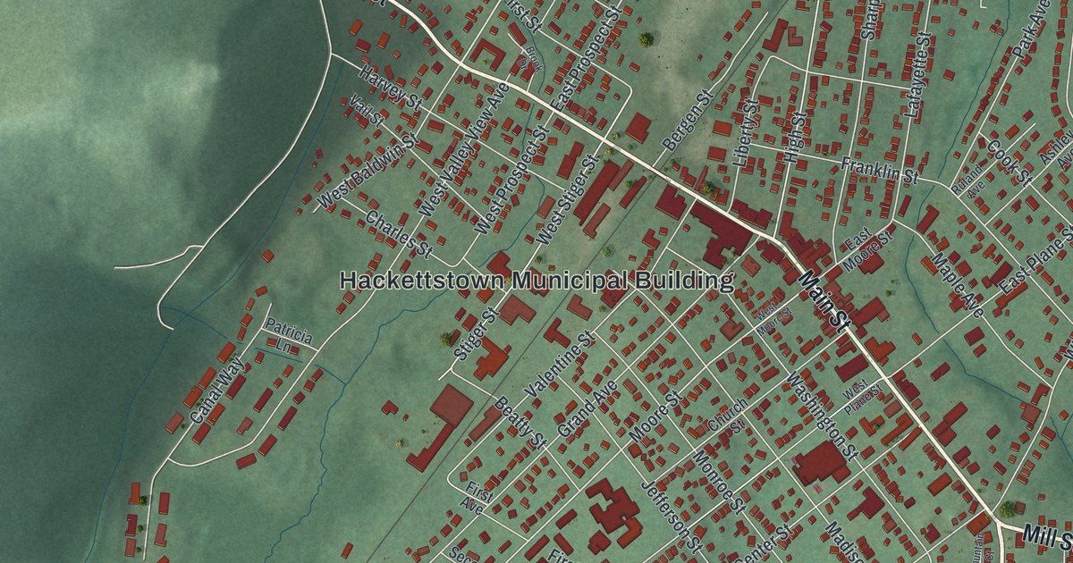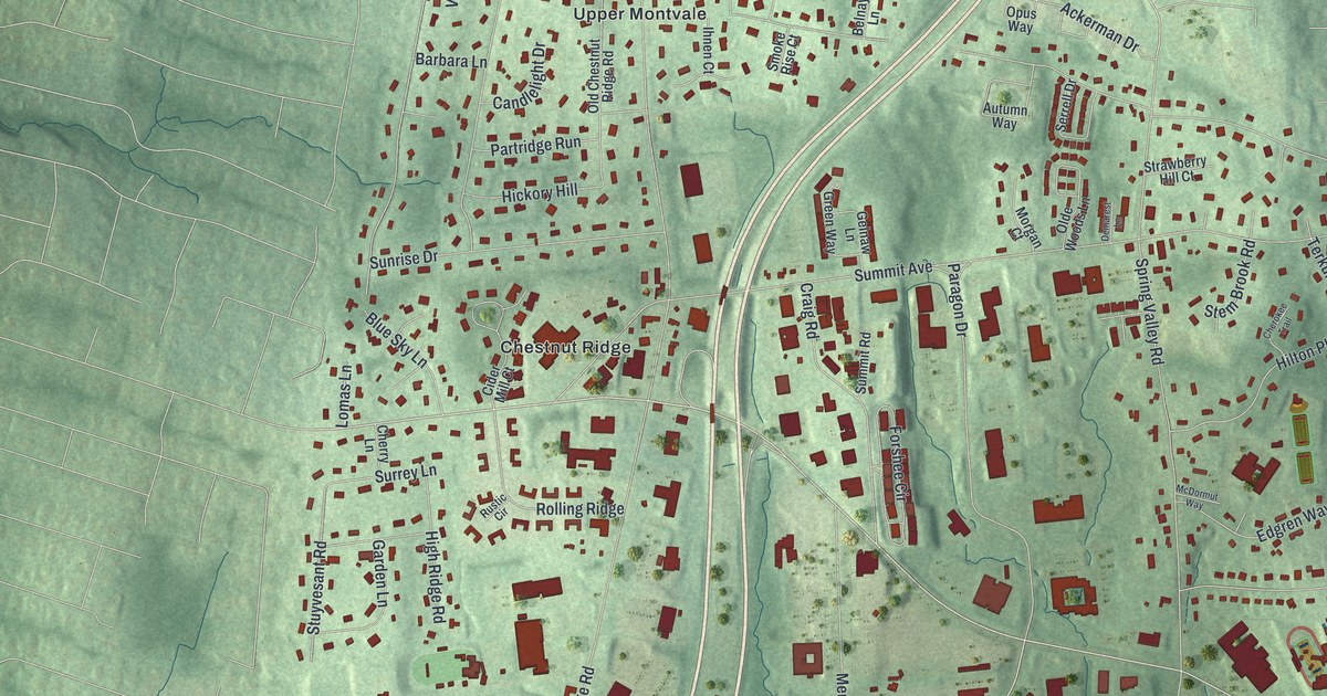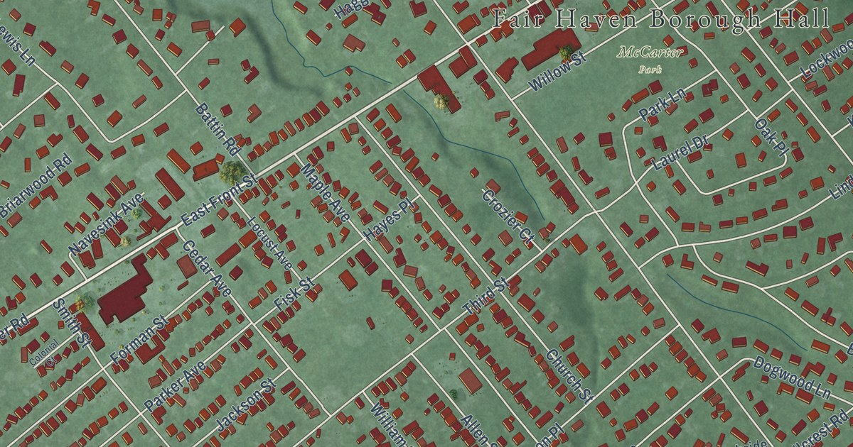
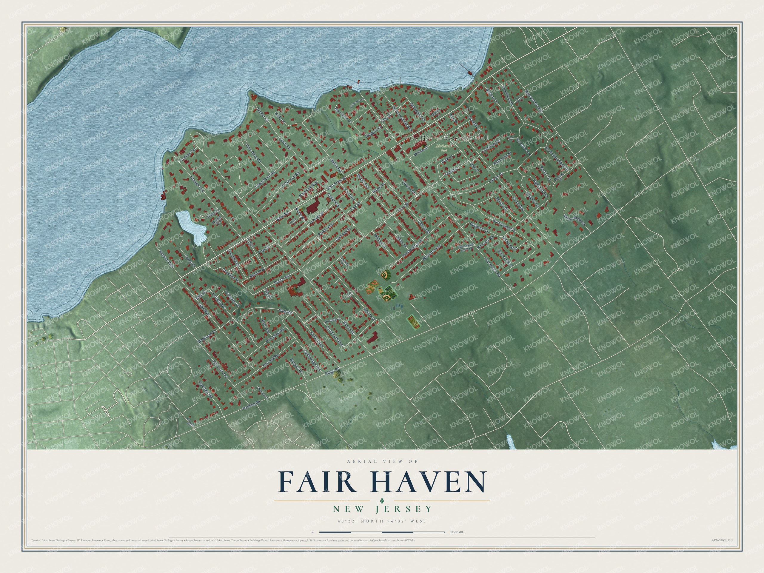
This beautifully detailed map of Fair Haven, New Jersey was created in 2026 using aerial imagery combined with modern topographical, census, street and landmark data. It’s a one-of-a-kind view of Fair Haven that combines accurate data with a vintage aesthetic. The map shows every building in its true location, many of the roads carry their names, and the shaded topographic relief shows the shape of the land.
Explore an aerial view of Fair Haven, New Jersey
On the map you’ll find Fair Haven Borough Hall and McCarter Park, along with River Road, Oxford Avenue, Poplar Avenue, Ridge Road, Hance Road, Fair Haven Road, East Front Street, Buena Vista Avenue, Kemp Avenue, Third Street, and more. If you look closely you can even find your house accurately drawn in its correct location. Zoom in on the preview to look for yours.
Did You Know?
Fair Haven’s first lasting settlement was a building put up beside the Navesink River in 1816. By the mid-1800s, steamboats called at Chandler’s Dock on their way between Red Bank and New York City. They brought visitors in and carried local oysters to the city. The borough seal still shows the steamship Albertina, built in 1882.
Take a closer look at the Fair Haven map
Names on this map
These names are printed on this map.
Places: Fair Haven Borough Hall, McCarter Park and Haddon Park.
Streets and roads: River Road, Oxford Avenue, Poplar Avenue, Ridge Road, Hance Road, Fair Haven Road, East Front Street, Buena Vista Avenue, Kemp Avenue, Third Street, Buttonwood Drive, Dartmouth Avenue.
More street names, A to Z
Allen Street, Battin Road, Beechwood Place, Beekman Place, Briarwood Road, Brookside Avenue, Brookside Farm Road, Brook Terrace, Browns Lane, Cambridge Avenue, Cedar Avenue, Charles Court, Chestnut Street, Church Street, Clay Street, Colonial Court, Cooney Terrace, Country Lane, Crozier Court, Cypress Court, De Normandie Avenue, Dogwood Lane, Doughty Lane, Elm Place, Elmwood Lane, Fairwaters Lane, First Street, Fisk Street, Forman Street, Forrest Avenue, Gentry Drive, Gillespie Avenue, Glen Place, Grange Avenue, Grange Walk, Haggers Lane, Harding Road, Harrison Avenue, Harvard Road, Hayes Place, Heights Terrace, Hendrickson Place, Highland Avenue, Hillcrest Road, Hillside Place, Holly Lane, Hunting Lane, Jackson Street, James Court, Katherine Street, Lake Avenue, Laurel Drive, Laury Drive, Lewis Lane, Lewis Point Road, Lexington Avenue, Lincoln Avenue, Linden Drive, Lockwood Place, Locust Avenue, Maple Avenue, McCarter Avenue, Minton Lane, Navesink Avenue, Oaklawn Road, Oak Place, Park Avenue, Parker Avenue, Park Lane, Park Road, Pine Cove Road, Pine Tree Lane, Princeton Road, Prospect Avenue, Riverlawn Drive, Rustic Terrace, Rutgers Drive, Schwenker Place, Second Street, Smith Street, South Woodland Drive, Spruce Drive, Sunny Ridge Drive, Timber Court, Tyson Drive, William Street, Willow Street, Woodland Drive.
See it on a wall
The Fair Haven map as an 18 x 24 inch print in a black frame.

This beautifully detailed map of Fair Haven makes an attractive addition to your office, library, or den, and it can even be used to teach children the geography and history of the area. It also makes a great gift for anyone who grew up in Fair Haven or moved away. When you’re done exploring, click here to get your copy of the Fair Haven map.