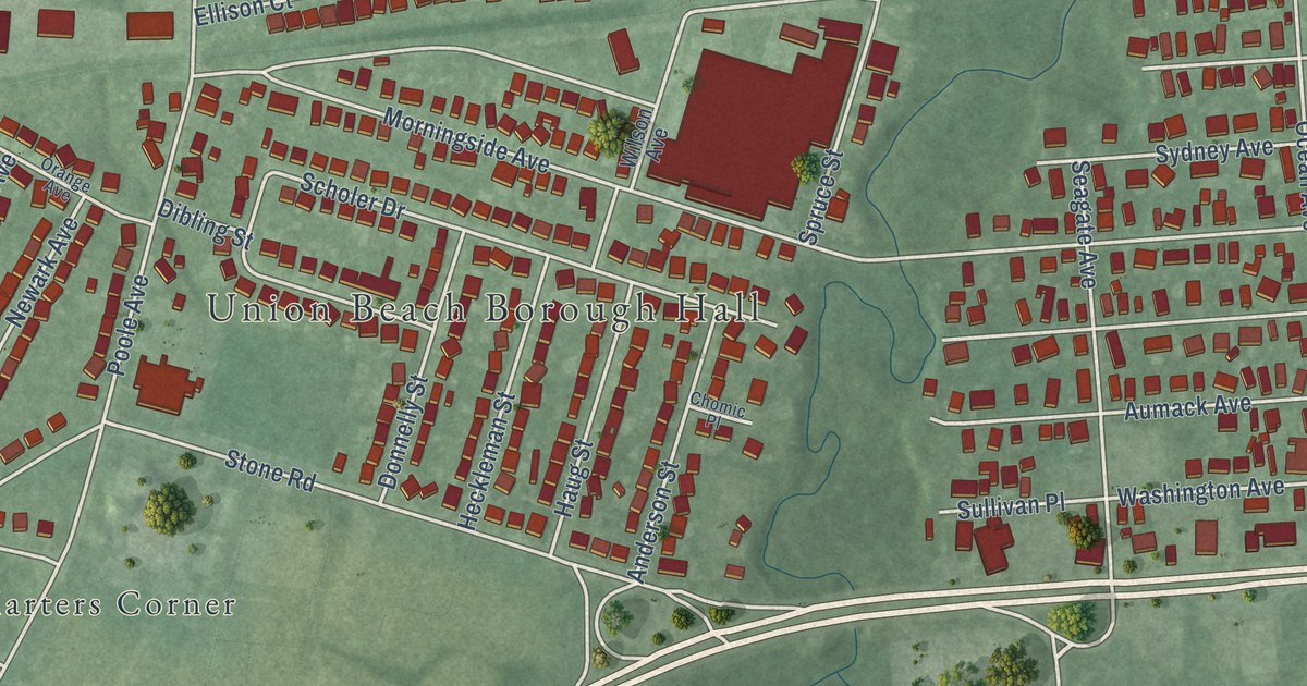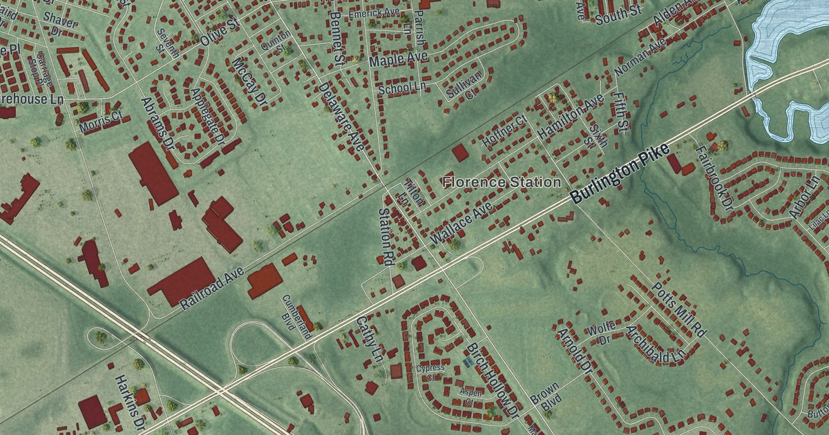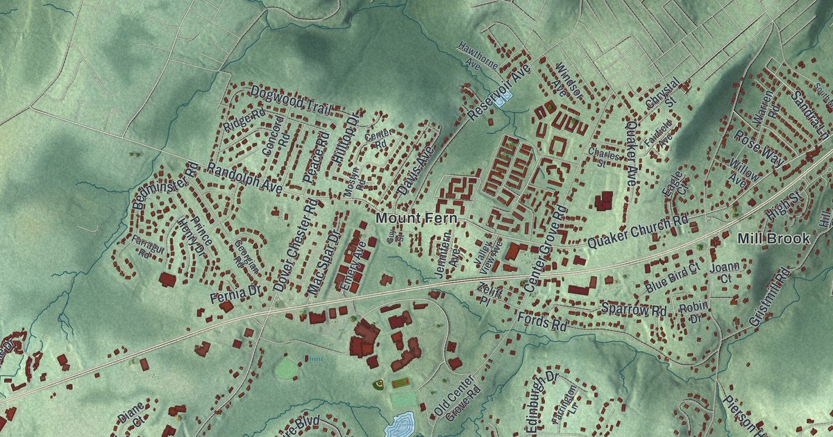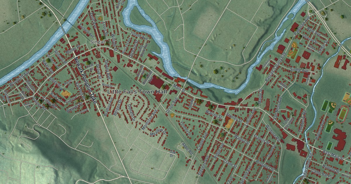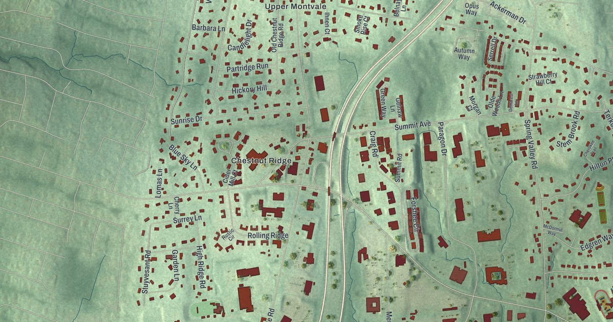
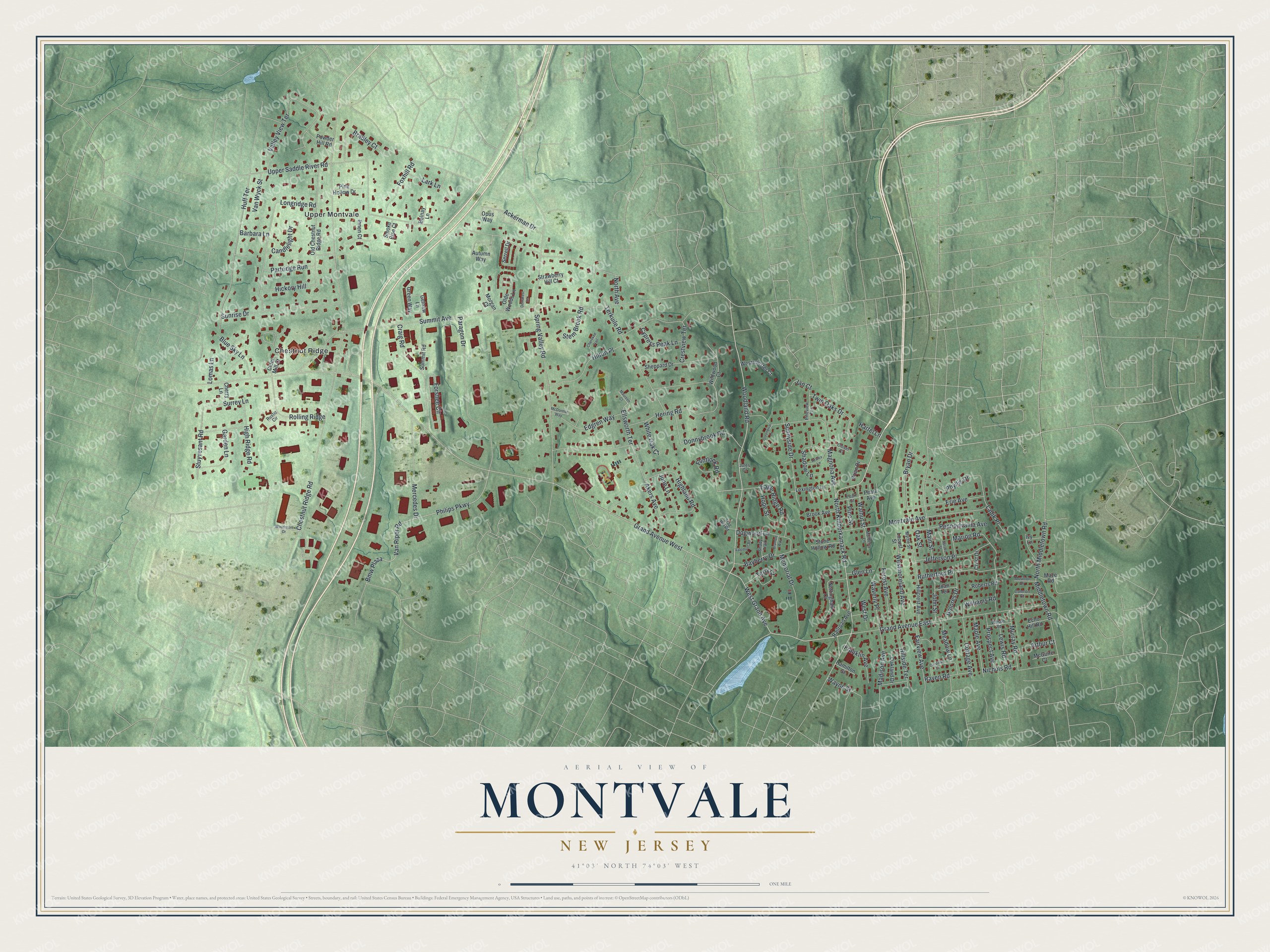
This beautifully detailed map of Montvale, New Jersey was created in 2026 using aerial imagery combined with modern topographical, census, street and landmark data. It’s a one-of-a-kind view of Montvale that combines accurate data with a vintage aesthetic. The map shows every building in its true location, many of the roads carry their names, and the shaded topographic relief shows the shape of the land.
Explore an aerial view of Montvale, New Jersey
On the map you’ll find Bmw Plaza, Chestnut Ridge, and Upper Montvale, along with Woodland Road, Kinderkamack Road, Grand Avenue, Van Riper Road, and more. If you look closely you can even find your house accurately drawn in its correct location. Zoom in on the preview to look for yours.
Did You Know?
Montvale became a borough on August 31, 1894. It was born during a wave called Boroughitis that swept Bergen County. Twenty-six boroughs formed in the county that year alone. Its name comes from the lay of the land, and it is nicknamed the Pride of the Pascack Valley.
Take a closer look at the Montvale map
Names on this map
These names are printed on this map.
Places: Chestnut Ridge and Upper Montvale.
Streets and roads: Woodland Road, North Kinderkamack Road, West Grand Avenue, Van Riper Road, Bmw Plaza, Grand Avenue West, Philips Parkway, Chestnut Ridge Road, Summit Avenue, Upper Saddle River Road, Spring Valley Road, Grand Avenue East.
More street names, A to Z
Ackerman Drive, Akers Avenue, Arthur Court, Autumn Way, Azalea Lane, Barbara Lane, Bayberry Drive, Belnay Lane, Blue Sky Lane, Bradley Court, Bramble Way, Brian Drive, Brook Avenue, Bryan Drive, Camron Court, Candlelight Drive, Cardinal Court, Cherokee Trail, Cherry Lane, Cider Mill Court, Clover Court, Cottage Avenue, Craig Road, Crest Drive, Crestview Terrace, Cypress Peak Lane, Demarest Lane, Dogwood Lane, Dolores Drive, Donnybrook Road, Eagle Ridge Road, Echo Hill Road, Edgren Way, Ellsworth Terrace, Erie Avenue, Fairview Avenue, Flintlock Road, Forest Avenue, Forshee Circle, Foxhill Road, Franklin Avenue, Garden Lane, Gelnaw Lane, Glen Lane, Greenbriar Lane, Green Way, Hamilton Street, Hartel Lane, Hering Road, Hickory Hill, Highland Road, High Ridge Road, Hillcrest Avenue, Hillside Terrace, Hilton Place, Hope Street, Huff Terrace, Ihnen Court, Ivy Lane, Jan Court, Jefferson Place, Joan Terrace, John Street, Jules Court, June Lane, Ladik Place, Lark Lane, Lewis Road, Lexington Lane, Locust Street, Lomas Lane, Longridge Road, Madison Avenue, Magnolia Avenue, Main Street, Maple Avenue, Marion Road, Maureen Court, Maze Road, McDormut Way, McGuire Court, Meadow Lane, Memorial Drive, Mercedes Drive, Middletown Road, Montvale Avenue, Morgan Court, Moulton Drive, Mulberry Lane, Murray Road, Myrtle Street, Nichols Road, North Avenue, North Middletown Road, Nottingham Court, Oakland Drive, Oak Street, Old Chestnut Ridge Road, Olde Woods Lane, Opus Way, Paragon Drive, Partridge Run, Pearl Avenue, Pearl Street, Pennsylvania Avenue, Phyllis Drive, Pine Hollow Drive, Pine Street, Pineview Terrace, Powder Hill Road, Prospect Avenue, Railroad Avenue, Raven Road, Roberts Road, Rolling Ridge, Rustic Circle, Rutherford Place, Serrell Drive, Shadow Lane, Shady Trail, Sheppard Drive, Smoke Rise Court, Spruce Street, Stag Hill Road, Stem Brook Road, Stone Hollow Road, Strawberry Hill Court, Stuyvesant Road, Summit Road, Sunnyside Drive, Sunrise Drive, Surrey Lane, Terkuile Road, Terry Court, Twin Oaks Drive, Valemont Road, Valley View Terrace, Van Wyck Street, Walnut Street, Waverly Place, Wayne Street, West Drive, Westminster Court, Westmoreland Avenue, White Oak Court, Wildwood Court, Williams Road, Wilson Road, Woodmont Drive.
See it on a wall
The Montvale map as an 18 x 24 inch print in a black frame.

This beautifully detailed map of Montvale makes an attractive addition to your office, library, or den, and it can even be used to teach children the geography and history of the area. It also makes a great gift for someone who left Montvale and still calls it home. When you’re done exploring, click here to get your copy of the Montvale map.