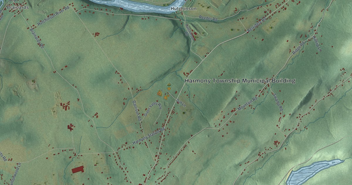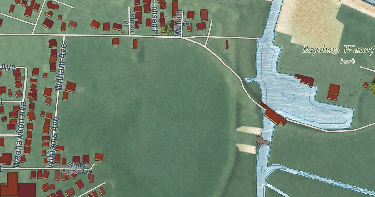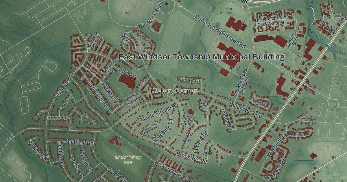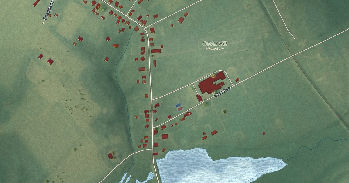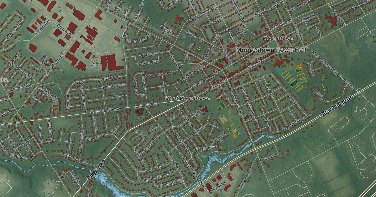
This beautifully detailed map of Moorestown-Lenola, New Jersey was created in 2026 using aerial imagery combined with modern topographical, census, street and landmark data. It’s a one-of-a-kind view of Moorestown-Lenola that combines accurate data with a vintage aesthetic. The map shows every building in its true location, many of the roads carry their names, and the shaded topographic relief shows the shape of the land.
Explore an aerial view of Moorestown-Lenola, New Jersey
On the map you’ll find Moorestown Town Hall, Lenola, Moorestown, Stanwick, Stanwick Glen, and West Moorestown, along with Kings Highway, Strawbridge Drive, Camden Avenue, Lenola Road, and more. If you look closely you can even find your house accurately drawn in its correct location. Zoom in on the preview to look for yours.
Take a closer look at the Moorestown-Lenola map
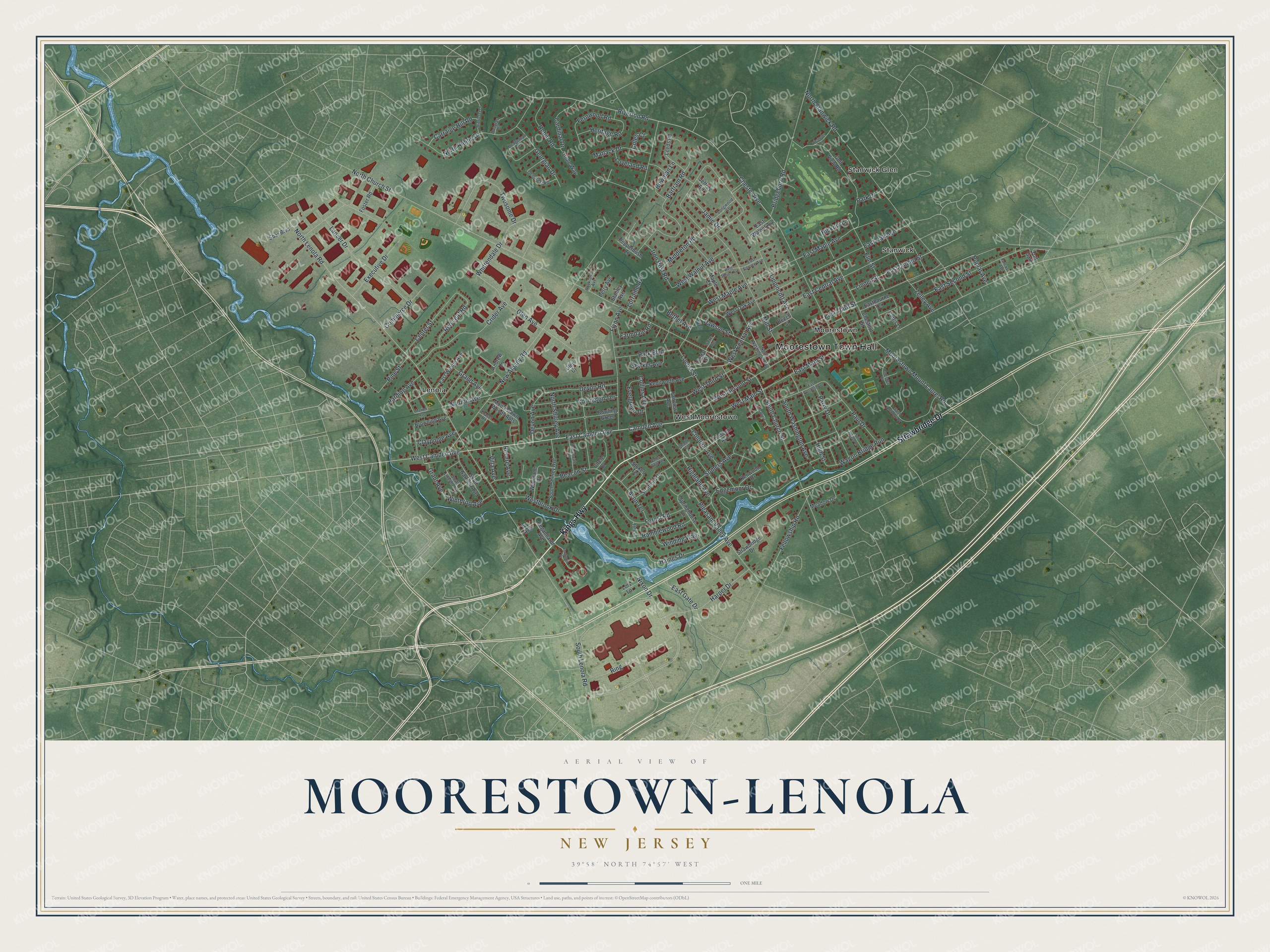
Names on this map
These names are printed on this map.
Places: Moorestown Town Hall, Lenola, Moorestown, Stanwick, Stanwick Glen and West Moorestown.
Streets and roads: Kings Highway, Strawbridge Drive, Camden Avenue, East Camden Avenue, West Camden Avenue, North Lenola Road, East Main Street, Ring, West Main Street, Highland Avenue, North Church Street, Lippincott Avenue.
More street names, A to Z
Andrew Lane, Avon Terrace, Bartram Road, Beacon Street, Beech Street, Bethel Avenue, Bowling Green, Bowman Lane, Bridgeboro Road, Browning Avenue, Cardinal Drive, Carraige Hill Road, Cedar Street, Center Street, Chester Avenue, Chestnut Street, Circle Drive, Claypoole Avenue, Coles Court, Collins Avenue, Colonial Avenue, Commerce Drive, Covington Terrace, Crescent Avenue, Crider Avenue, Curtis Lane, Dawson Street, Demarest Road, Devon Avenue, Devon Road, Douglas Court, Eastbourne Terrace, East Central Avenue, East Gate Drive, East Linden Street, East Maple Avenue, East Oak Avenue, East Prospect Avenue, East Second Street, East Spruce Avenue, East Third Street, East Walnut Avenue, East Wilson Avenue, Edgemoor Drive, Elm Street, Eraser Road, Evergreen Drive, Executive Drive, Fairview Avenue, Farmdale Road, Fellowship Road, Fernwood Road, Flynn Avenue, Forest Road, Foster Road, Foxwood Drive, Georgian Drive, Glen Avenue, Glen Court, Golf View Road, Grand Avenue, Grant Avenue, Greenvale Road, Haines Drive, Harding Avenue, Harper Drive, Hedgeman Road, Heritage Road, Hickory Lane, High Street, Iron Post Road, Ivy Avenue, Jamie Drive, Jeffrey Road, Kenilworth Avenue, Kenwood Drive, Lancer Drive, Laurence Drive, Leeds Road, Linden Street, Locust Street, Lois Lane, Longwood Lane, Lorraine Avenue, Loveland Road, Maple Court, Marion Avenue, Matlack Drive, Meadow Drive, Merion Avenue, Middlesex Drive, Middleton Road, Mill Street, Moorestown Mount Laurel Road, Moorestown Woods Apts, New Albany Road, Nixon Drive, North Close, North Riding Drive, North Shirley Avenue, North Stanwick Road, North Washington Avenue, Oriole Way, Pancoast Avenue, Park Boulevard, Park Drive, Parker Avenue, Parry Drive, Paul Drive, Pepperbush Lane, Perry Avenue, Pine Street, Pleasant Valley Avenue, Poplar Avenue, Ramblewood Road, Red Leaf Road, Reganhardt Avenue, Revere Avenue, Riverton Road, Robin Road, Rockland Avenue, Saint Anthonys Drive, Sbar Boulevard, Shady Lane, Somers Avenue, South Church Street, South Garfield Avenue, South Lenola Road, South Lincoln Avenue, South Shirley Avenue, South Washington Avenue, Springhouse Lane, Stanley Avenue, Stokes Terrace, Stratford Drive, Toll Gate, Toll House Lane, Toty Lane, Twosome Drive, Valley View Terrace, Villa Avenue, Wagon Bridge Run, Walker Avenue, Westbrook Drive, West Central Avenue, West Maple Avenue, West Oak Avenue, Westover Road, West Second Street, West Spruce Avenue, West Third Street, West Walnut Avenue, Whittendale Drive, Winding Way, Winthrop Avenue, Woodlane Drive, Zelley Avenue.
See it on a wall
The Moorestown-Lenola map as an 18 x 24 inch print in a black frame.

This beautifully detailed map of Moorestown-Lenola makes an attractive addition to your office, library, or den, and it can even be used to teach children the geography and history of the area. It also makes a great gift for anyone with Moorestown-Lenola roots. When you’re done exploring, click here to get your copy of the Moorestown-Lenola map.