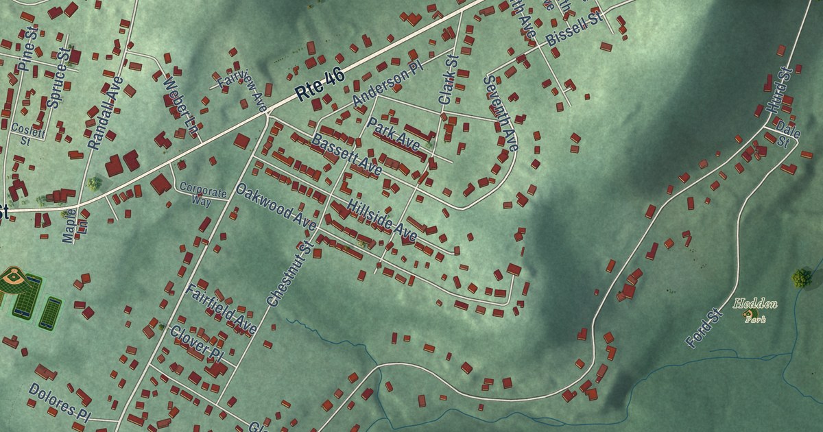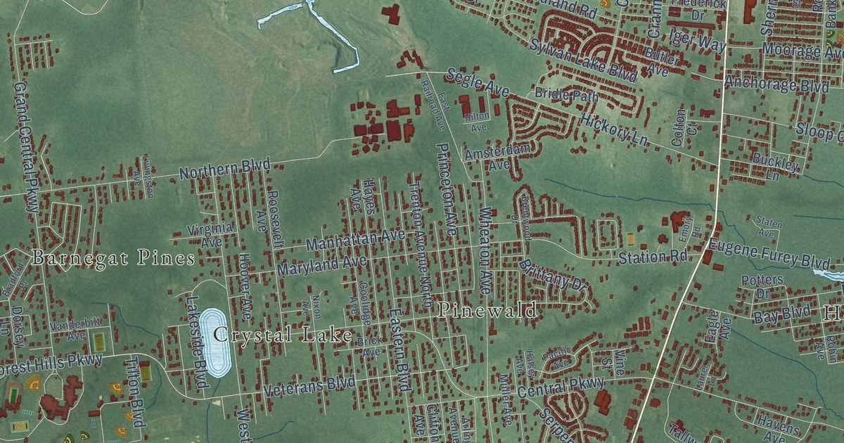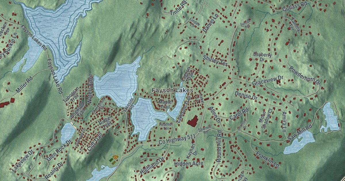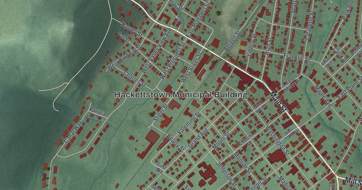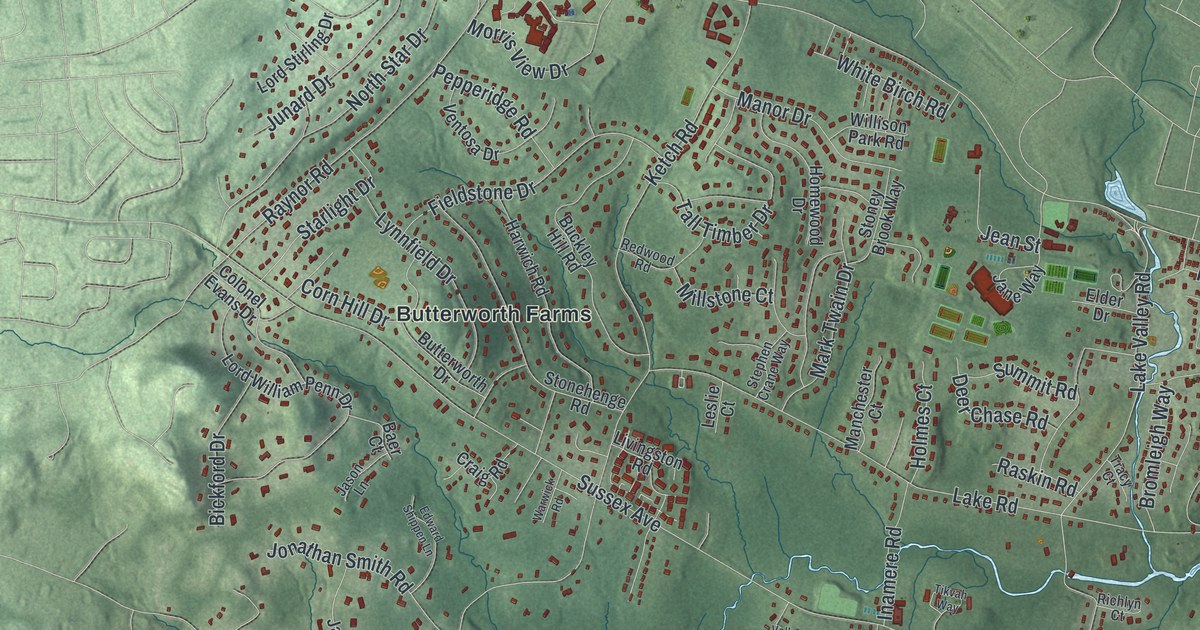
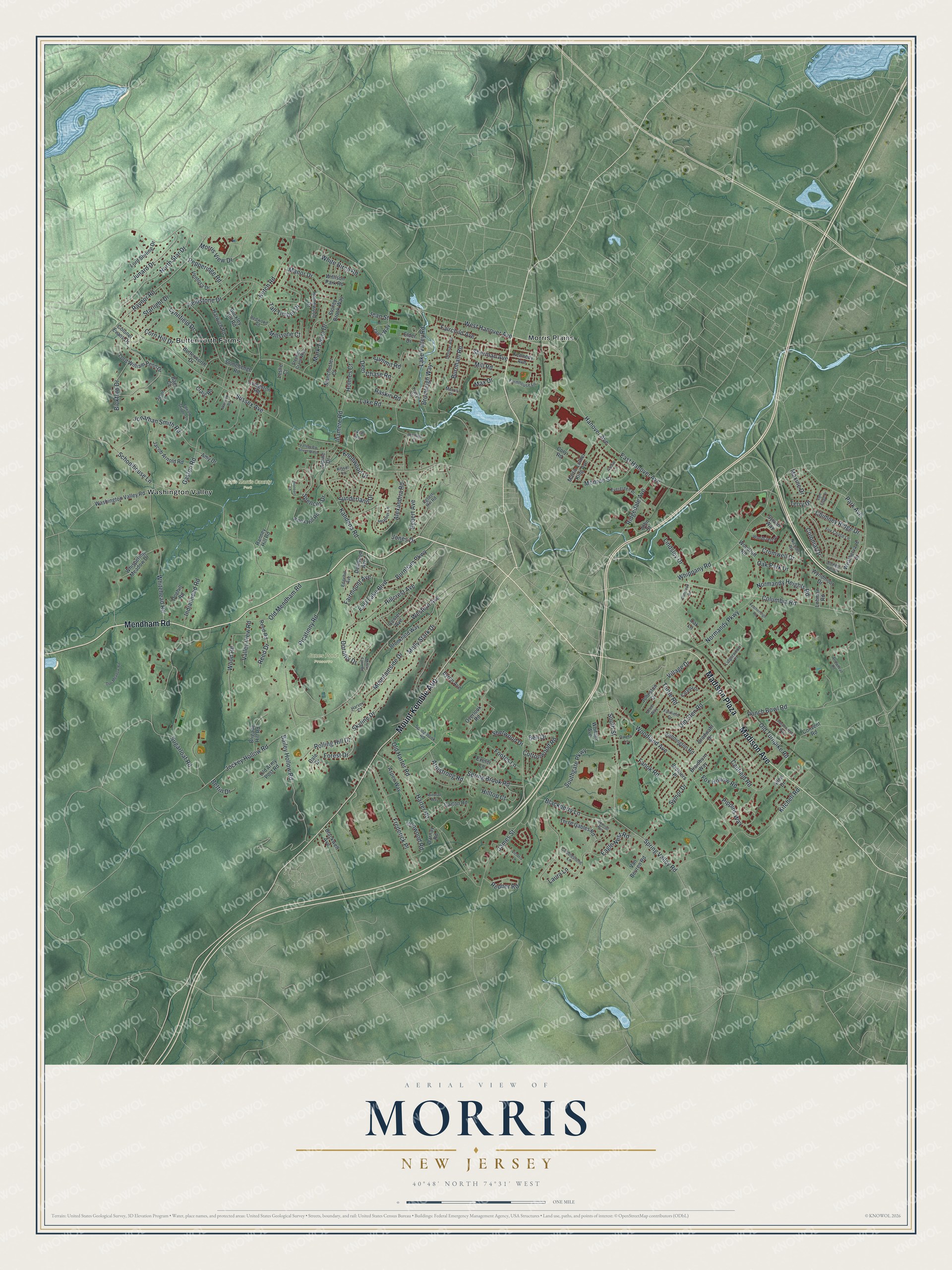
This beautifully detailed map of Morris, New Jersey was created in 2026 using aerial imagery combined with modern topographical, census, street and landmark data. It’s a one-of-a-kind view of Morris that combines accurate data with a vintage aesthetic. The map shows every building in its true location, many of the roads carry their names, and the shaded topographic relief shows the shape of the land.
Explore an aerial view of Morris, New Jersey
On the map you’ll find Madison Plaza, Butterworth Farms, Morris Plains, Washington Valley, Jones Pond Preserve, and Lewis Morris County Park, along with Mendham Road, Mount Kemble Avenue, Madison Avenue, Hanover Avenue, and more. If you look closely you can even find your house accurately drawn in its correct location. Zoom in on the preview to look for yours.
Did You Know?
Morris Township was formed in 1740. Its name honors Lewis Morris, who served as New Jersey’s colonial governor. For 115 years, Morristown belonged to the township. Morristown first broke away in 1865, and the split became official in 1895.
Take a closer look at the Morris map
Names on this map
These names are printed on this map.
Places: Jones Pond Preserve, Lewis Morris County Park, Butterworth Farms, Morris Plains and Washington Valley.
Streets and roads: Mendham Road, Mount Kemble Avenue, Madison Avenue, Madison Plaza, West Hanover Avenue, Columbia Road, South Street, Park Avenue, Armstrong Road, East Hanover Avenue, Hanover Avenue, Sussex Avenue.
More street names, A to Z
Alexandria Road, Allen Drive, Alpine Drive, Amy Drive, Arbor Way, Arrowhead Road, Aspen Way, Baer Court, Bailey Hollow Road, Bell Drive, Bennington Road, Bettin Drive, Bickford Drive, Blackberry Lane, Blackwell Avenue, Bradwahl Drive, Braidburn Way, Brigade Hill Road, Bromleigh Way, Brookfield Way, Brothers Place, Buckley Hill Road, Burnham Parkway, Burnham Road, Butterworth Drive, Byron Avenue, Canfield Road, Carton Road, Catalpa Drive, Cedar Lane, Center Avenue, Chimney Ridge Drive, Cobblestone Lane, Colonel Evans Drive, Colonial Drive, Convent Road, Corn Hill Drive, Cory Road, Cottonwood Road, Craig Road, Cromwell Drive, Dale Drive, Darnay Road, Deer Chase Road, Dellwood Avenue, Delmar Avenue, Doehill Road, Doe Meadow Road, Dorothy Drive, Dwyer Lane, Eagle Nest Road, East Lake Boulevard, Edgehill Avenue, Edward Shippen Lane, Egbert Avenue, Egbert Hill Road, Elder Drive, Evergreen Place, Exeter Lane, Fairchild Avenue, Fairfield Drive, Fairmount Avenue, Fanok Road, Farmhouse Lane, Featherleigh Road, Fieldstone Drive, Footes Lane, Forest Drive, Fox Chase Lane, Fox Hollow Road, Frederick Place, Gaston Road, Harter Road, Harvey Court, Harwich Road, Heather Lane, Hillcrest Avenue, Hilltop Court, Holmes Court, Homewood Drive, Inamere Road, Independence Way, Indianhead Road, Ironwood Road, Jacob Arnold Road, James Street, Jane Way, Jason Lane, Jean Street, Jockey Hollow Road, Johnston Drive, John Street, Jonathan Smith Road, Jones Drive, Junard Drive, Kahdena Road, Kennedy Avenue, Ketch Road, Kissel Lane, Kitchell Road, Knollwood Drive, Knox Hill Road, Lake Road, Lake Valley Road, Laura Lane, Leslie Court, Lidgerwood Place, Lindsley Drive, Livingston Road, Lohman Road, Lord Stirling Drive, Lord William Penn Drive, Lynnfield Drive, Manchester Court, Manor Drive, Mark Twain Drive, Martin Luther King Avenue, Max Drive, Maxine Drive, Millers Farm Road, Mill Road, Millstone Court, Molly Stark Drive, Monroe Street, Morris Place, Morris View Drive, Mountainside Drive, Nichols Road, Normandy Heights Road, Normandy Parkway, North Star Drive, Oak Lane, Oak Park Drive, Old Army Post Road, Old Glen Road, Old Harter Road, Old Mendham Road, Old Turnpike Road, Olmstead Road, Overlook Road, Pepperidge Road, Picatinny Road, Pioneers Lane, Pippins Way, Powder Horn Drive, Punch Bowl Road, Ranney Hill Road, Raskin Road, Raynor Road, Redner Road, Redwood Road, Reed Drive, Reed Road, Richlyn Court, Ridgedale Avenue, Rolling Hill Drive, Schoolhouse Lane, Sherman Avenue, Sherwood Drive, Skyline Drive, Southgate Parkway, Spencer Drive, Spring Brook Road, Springbrook Road, Spring Valley Road, Squirrel Run, Starlight Drive, Stephen Crane Way, Stonehenge Road, Stoney Brook Way, Sugarloaf Road, Summit Road, Sunderland Drive, Sylvan Way, Symor Drive, Tall Timber Drive, Terry Drive, Three Gables Road, Tikvah Way, Tracy Court, Turtle Road, Valley View Road, Valleyview Street West, Van Beuren Road, Ventosa Drive, Victoria Lane, Village Drive, Vom Eigen Drive, Warwick Road, Washington Valley Road, Weathervane Drive, Western Avenue, Whippany Road, Whispering Meadow Drive, White Birch Road, Whitehead Road, Whitney Avenue, Willison Park Road, Windsor Way, Woodcrest Drive, Woodland Avenue, Wood Road, Woodruff Road, Wyndmoor Drive.
See it on a wall
The Morris map as an 18 x 24 inch print in a black frame.

This beautifully detailed map of Morris makes an attractive addition to your office, library, or den, and it can even be used to teach children the geography and history of the area. It also makes a great gift for someone who left Morris and still calls it home. When you’re done exploring, click here to get your copy of the Morris map.