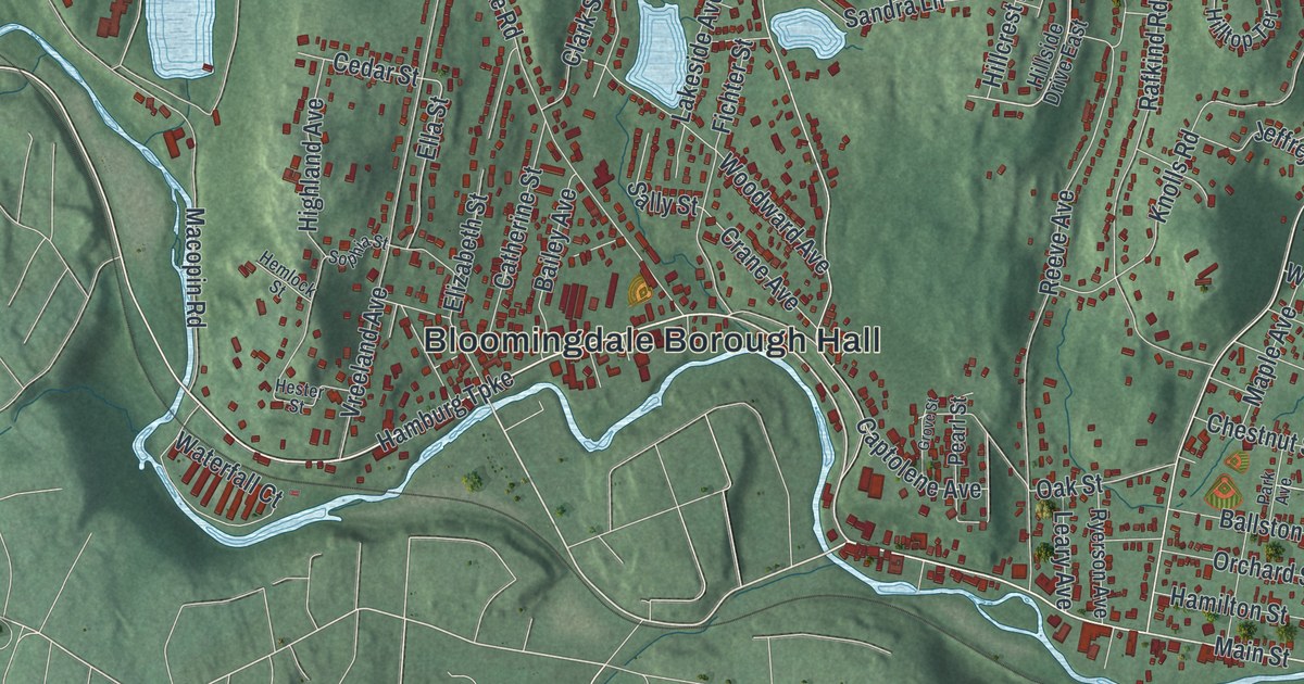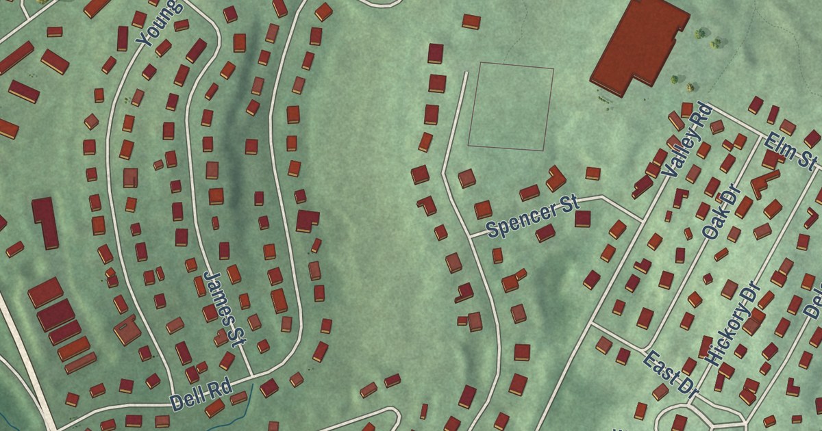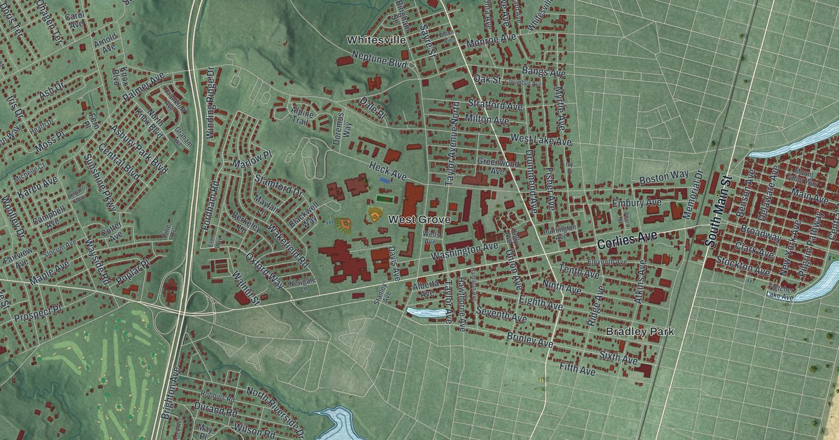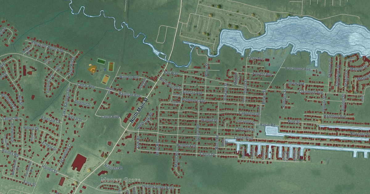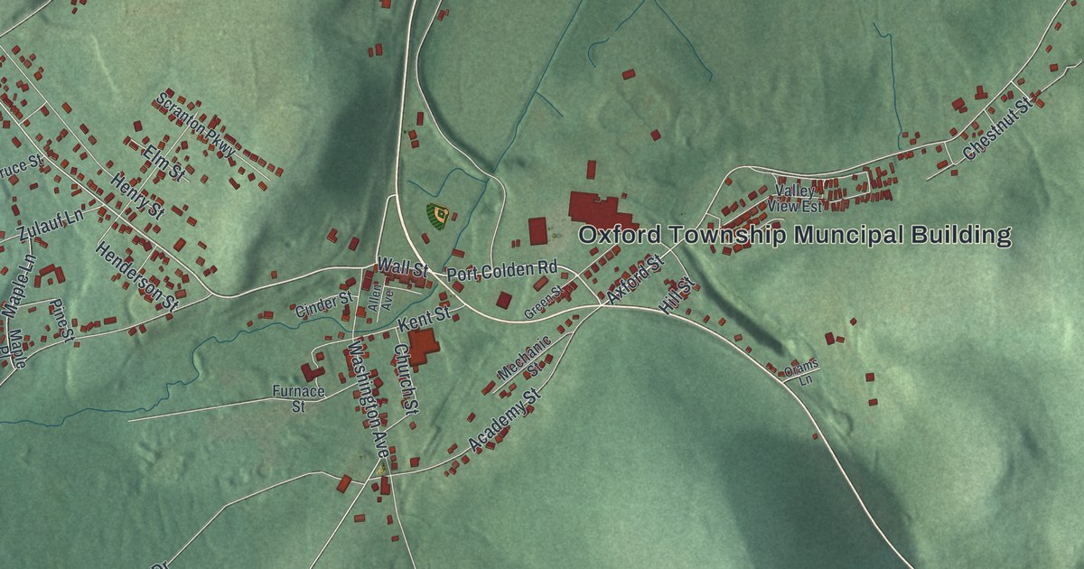
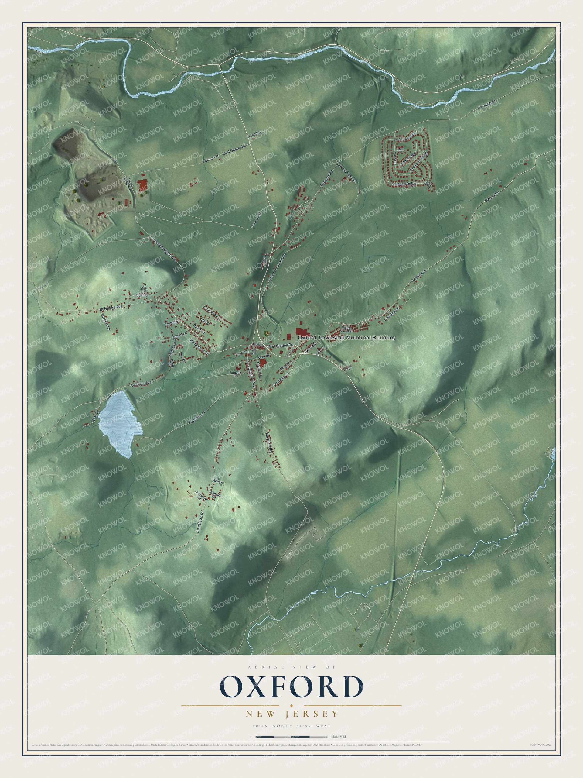
This beautifully detailed map of Oxford, New Jersey was created in 2026 using aerial imagery combined with modern topographical, census, street and landmark data. It’s a one-of-a-kind view of Oxford that combines accurate data with a vintage aesthetic. The map shows every building in its true location, many of the roads carry their names, and the shaded topographic relief shows the shape of the land.
Explore an aerial view of Oxford, New Jersey
On the map you’ll find Oxford Township Muncipal Building, along with Belvidere Avenue, Washington Avenue, Port Colden Road, Axford Street, and more. If you look closely you can even find your house accurately drawn in its correct location. Zoom in on the preview to look for yours.
Did You Know?
Oxford grew up around the Oxford Furnace about two hundred years before 1939. That iron furnace was one of the places General Washington got military supplies. In 1939 the village on Scotts Mountain was still an iron mining center. That’s from the 1939 WPA guide to New Jersey.
Take a closer look at the Oxford map
Names on this map
These names are printed on this map.
Places: Oxford Township Muncipal Building.
Streets and roads: Belvidere Avenue, Washington Avenue, Port Colden Road, Axford Street, Axford Avenue, Henry Street, Robeson Ridge, Pequest Street, Jonestown Road, Buckley Avenue, Mount Pisgah Avenue, Edison Road.
More street names, A to Z
Academy Street, Allen Avenue, Bark Lane, Bush Street, Chestnut Street, Church Street, Cinder Street, Delta Place, East Quarry Road, Elm Street, Furnace Street, Green Street, Henderson Street, Hill Street, Jensen Drive, Jonestown Lane, Kauffman Drive, Kent Street, Line Road, Lower Denmark Road, Maple Lane, Maple Place, Mechanic Street, Mesa Court, Mine Hill Road, Mine Street, Olde Forge, Orams Lane, Oxford Road, Pequest Road, Pine Street, Renners Road, Scranton Parkway, Sewer Plant Lane, Shippen Ridge, Snyders Lane, Spring Meadow, Spruce Street, Upper Denmark Road, Valley View Est, Van Nest, Vis Rossi, Wall Street, Zulauf Lane.
See it on a wall
The Oxford map as an 18 x 24 inch print in a black frame.

This beautifully detailed map of Oxford makes an attractive addition to your office, library, or den, and it can even be used to teach children the geography and history of the area. It also makes a great gift for someone who left Oxford and still calls it home. When you’re done exploring, click here to get your copy of the Oxford map.