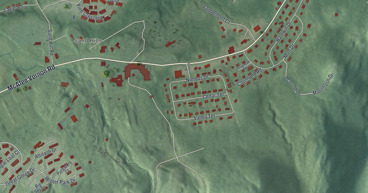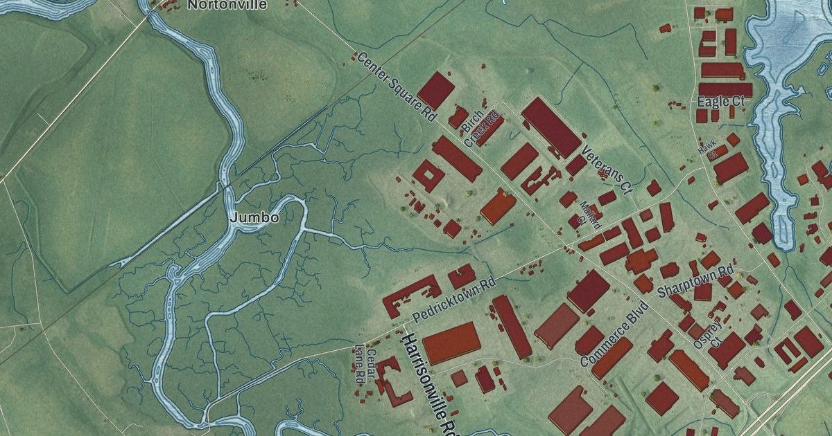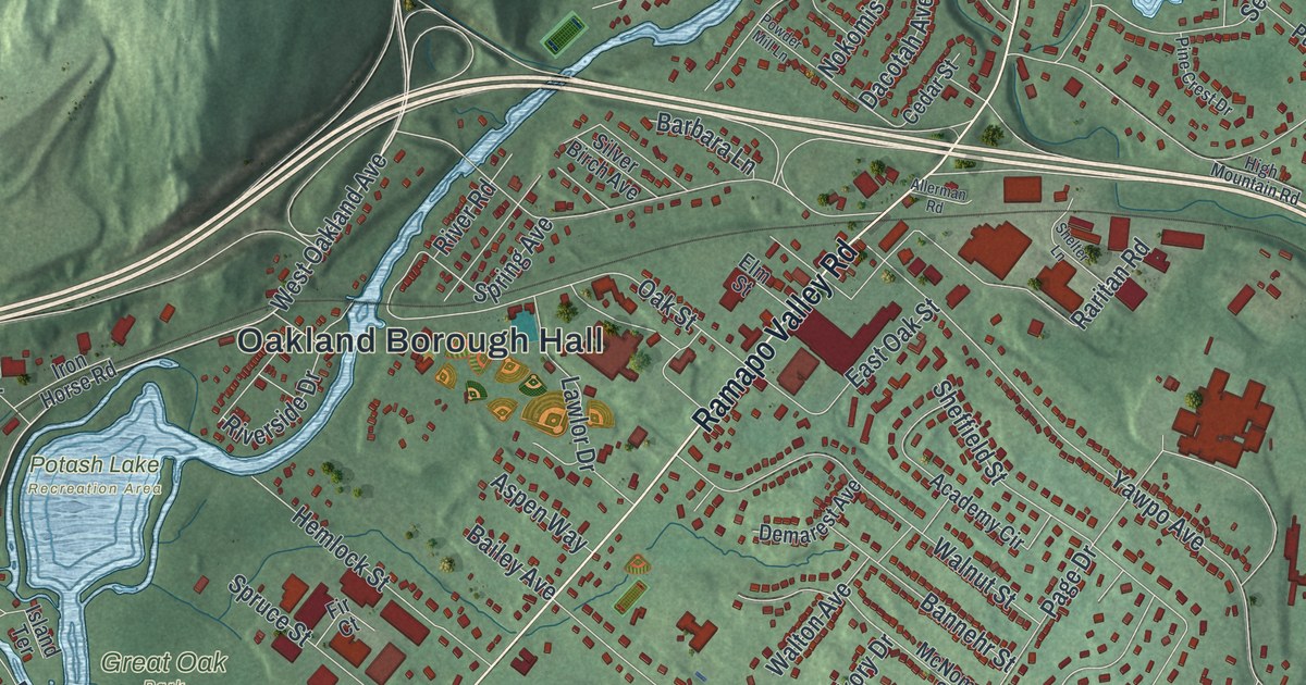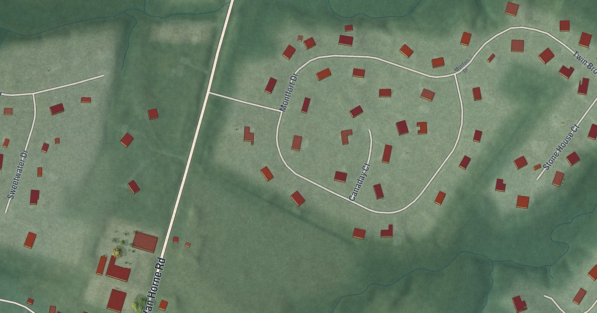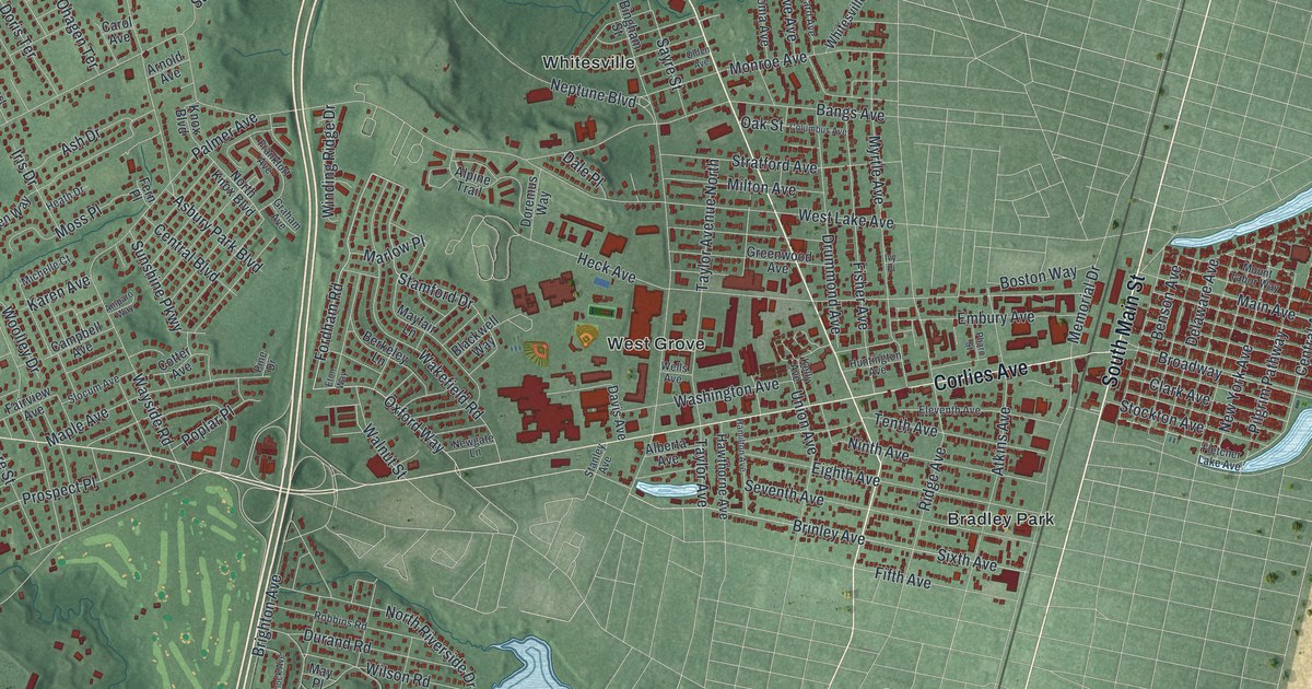
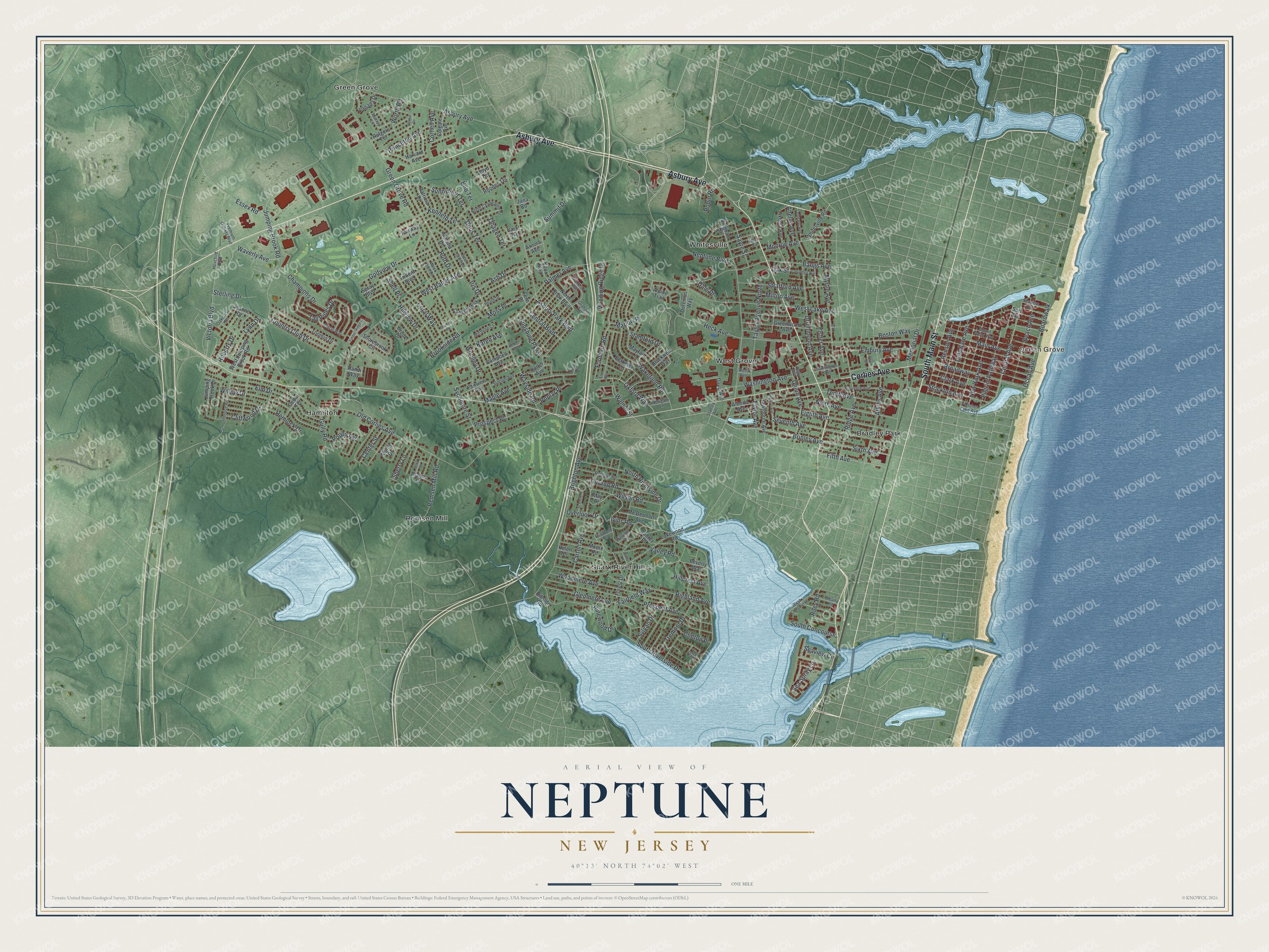
This beautifully detailed map of Neptune, New Jersey was created in 2026 using aerial imagery combined with modern topographical, census, street and landmark data. It’s a one-of-a-kind view of Neptune that combines accurate data with a vintage aesthetic. The map shows every building in its true location, many of the roads carry their names, and the shaded topographic relief shows the shape of the land.
Explore an aerial view of Neptune, New Jersey
On the map you’ll find Ocean Grove, Bradley Park, Green Grove, Hamilton, and Remsen Mill, along with Main Street, Asbury Avenue, Corlies Avenue, Oxford Way, Fordham Road, and more. If you look closely you can even find your house accurately drawn in its correct location. Zoom in on the preview to look for yours.
Did You Know?
Neptune Township is named for Neptune, the Roman god of water, because it sits on the Atlantic Ocean. It includes Ocean Grove, begun in 1869 as a summer religious retreat. Two Methodist ministers, William B. Osborn and Ellwood H. Stokes, headed the founders. Its Great Auditorium is a celebrated wooden landmark.
Take a closer look at the Neptune map
Names on this map
These names are printed on this map.
Places: Ocean Grove, Bradley Park, Green Grove, Hamilton, Remsen Mill, Shark River Hills, West Grove and Whitesville.
Streets and roads: South Main Street, Asbury Avenue, Corlies Avenue, Oxford Way, Fordham Road, Stamford Drive, Victoria Boulevard, Central Avenue, Pilgrim Pathway, Asbury Park Boulevard, West Bangs Avenue, Green Grove Road.
More street names, A to Z
Albany Road, Alberta Avenue, Alpine Trail, Amparo Way, Anelve Avenue, Arnold Avenue, Ash Drive, Atkins Avenue, Audrey Place, Bangs Avenue, Beach Avenue, Benson Avenue, Berkeley Lane, Beverly Way, Bingham Street, Blackwell Way, Boardwalk, Bob Terrace, Boston Way, Brighton Avenue, Brinley Avenue, Broadway, Brook Drive, Brookside Road, Campbell Avenue, Carol Avenue, Carton Avenue, Cedar Terrace, Center Street, Central Boulevard, Champions Drive, Clark Avenue, Cliffwood Drive, Clinton Place, Colgate Avenue, Colleen Way, Columbus Avenue, Coral Way, Cora Street, Cornell Avenue, Cotter Avenue, Country Club Drive, Dale Place, Davis Avenue, Delaware Avenue, Denbo Drive, Dianne Drive, Doral Way, Doremus Way, Doris Terrace, Drummond Avenue, Durand Road, East Lawn Drive, Eighth Avenue, Eleventh Avenue, Elizabeth Terrace, Elm Drive, Embury Avenue, Essex Road, Eton Way, Fairfield Way, Fairview Avenue, Fairway Lane, Fern Place, Fifth Avenue, Fisher Avenue, Fletcher Lake Avenue, Forest Drive, Frankfort Avenue, Glenmere Avenue, Golfview Drive, Graham Avenue, Greenwood Avenue, Gully Road, Hamilton Avenue, Harvard Avenue, Hawthorne Avenue, Heath Drive, Heck Avenue, Helen Terrace, Hemlock Drive, Highland Avenue, Hillcrest Avenue, Hillside Drive, Hillside Road, Hillview Drive, Hovchild Boulevard, Huntington Avenue, Iris Drive, Ivins Road, Ivy Place, Jana Road, Jeanne Drive, Jumping Brook Drive, Jumping Brook Road, Karen Avenue, Kelly Avenue, Kenneth Terrace, Knox Boulevard, Lakewood Road, Leonard Avenue, Lloyd Terrace, Lynn Drive, Main Avenue, Maple Avenue, Marcy Drive, Marlow Place, Marsha Drive, Mayfair Lane, May Place, Mc Dermott Avenue, Memorial Drive, Michelle Court, Milton Avenue, Monroe Avenue, Moore Road, Moss Place, Mount Tabor Way, Murray Lane, Myrtle Avenue, Neptune Boulevard, Newgate Lane, New York Avenue, Ninth Avenue, North Chaphagen Drive, North Knox Boulevard, North Riverside Drive, Oakcrest Drive, Oak Street, Ocean Avenue, Ohagen Terrace, Old Corlies Avenue, Olden Avenue, Overlook Drive, Oxonia Avenue, Palmer Avenue, Patricia Drive, Pharo Street, Pine Drive, Pinewood Drive, Poplar Place, Poppy Avenue, Premium Outlets Boulevard, Princeton Avenue, Prospect Avenue, Prospect Place, Randi Way, Remsen Mill Road, Rhodes Terrace, Ridge Avenue, Riley Road, Robbins Road, Roberts Drive, Robin Road, Rutgers Terrace, Ruth Drive, Sayre Street, Schock Avenue, Schoolhouse Road, Sea Spray Lane, Seaview Avenue, Seaview Circle, Seventh Avenue, Shell Place, Sherry Lane, Shorebrook Circle, Sixth Avenue, Slocum Avenue, South Concourse, South Riverside Drive, Spray Boulevard, Squirrel Road, Stanley Avenue, Sterling Drive, Stockton Avenue, Stratford Avenue, Summit Drive, Sunnyfield Terrace, Sunshine Parkway, Surf Avenue, Sycamore Street, Sylvan Drive, Tall Pines Drive, Taylor Avenue, Taylor Avenue North, Tenth Avenue, The Plaza, Timber Ridge Court, Toomin Drive, Tremont Drive, Trident Boulevard, Union Avenue, Valley Road, Vanada Drive, Victor Place, Wakefield Road, Walnut Street, Washington Avenue, Waverly Avenue, Wayside Road, Wells Avenue, West Concourse, West Jumping Brook Road, West Lake Avenue, West Lawn Drive, Whitesville Road, Willow Drive, Wilson Road, Winding Ridge Drive, Woodmere Avenue, Woolley Drive, Worth Road.
See it on a wall
The Neptune map as an 18 x 24 inch print in a black frame.

This beautifully detailed map of Neptune makes an attractive addition to your office, library, or den, and it can even be used to teach children the geography and history of the area. It also makes a great gift for anyone who grew up in Neptune or moved away. When you’re done exploring, click here to get your copy of the Neptune map.