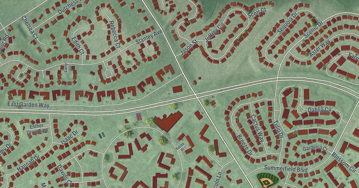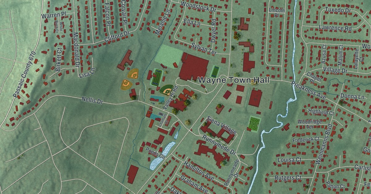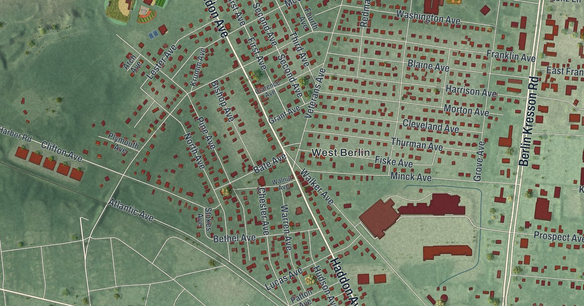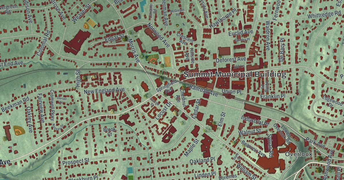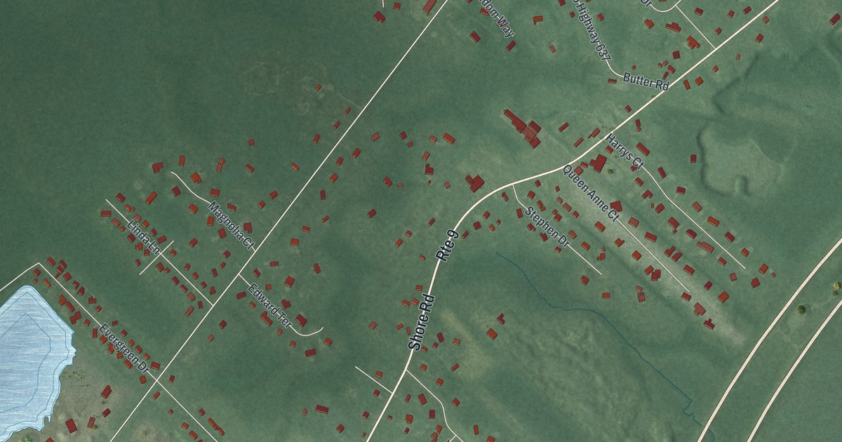
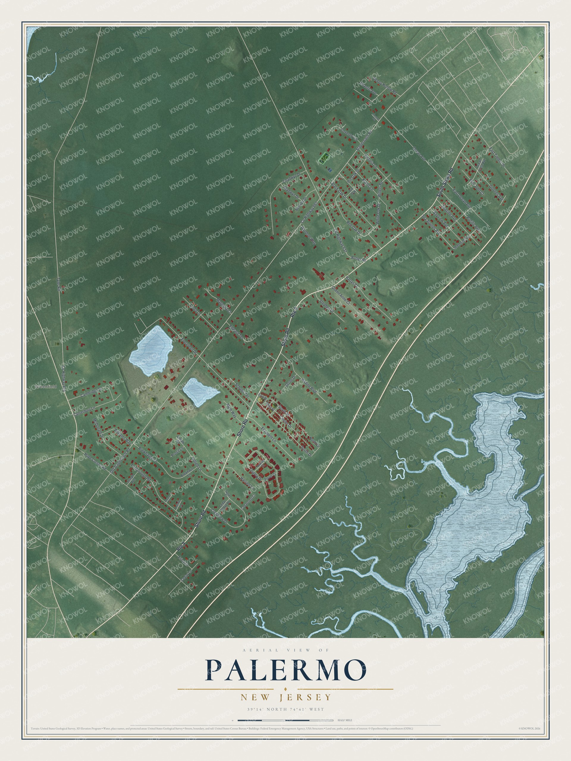
This beautifully detailed map of Palermo, New Jersey was created in 2026 using aerial imagery combined with modern topographical, census, street and landmark data. It's a modern aerial view of Palermo in Cape May County, New Jersey, that combines modern data with a vintage aesthetic. The roads feature printed names, and if you look closely you can find your exact house accurately shown in its correct location.
Explore an aerial view of Palermo, New Jersey
On this map you'll find Greenfield, Shore Road, South Shore Road, White Oak Drive, Co Highway 667, Old Stagecoach Road, Stagecoach Road, Hope Corson Road, Osprey Drive, Butter Road, Co Highway 637, Evergreen Drive, and more. Each red shape is a building, so zoom in on the preview and look for yours.
Palermo is a community in Cape May County. The Census Bureau counted 3,183 people here in 2020. Palermo sits about 2 miles southwest of Marmora, 2 miles northeast of Seaville and 3 miles northwest of Strathmere. The map prints the town name in its title panel, with the coordinates below it.
Take a closer look at the Palermo map
Names on this map
These names are printed on this map.
Places: Greenfield.
Streets and roads: Shore Road, Route 9, South Shore Road, White Oak Drive, County Highway 667, Old Stagecoach Road, Stagecoach Road, Hope Corson Road, Osprey Drive, Butter Road, County Highway 637, Evergreen Drive.
More street names, A to Z
Atlantic Avenue, Aubrey Court, Bayview Avenue, Berwyn Drive, Black Oak Drive, Brewhause Lane, Brewhaus Lane, Cambridge Drive, Canterbury Lane, Cedarcrest Court, Cedar Grove Drive, Cedar Lane, Center Drive, Chadwyn Drive, Chestnut Avenue, County Highway 616, Coventry Lane, Crestview Drive, Danielle Drive, Dolores Avenue, East Ocean Avenue, East Timber Drive, Edward Terrace, Elizabeth Lane, Erica Lane, Evio John Court, First Street, Foxborough Road, Gladwyn Drive, Harriett Lane, Harrys Court, Jason Drive, Joseph Avenue, Klains Lane, Leenie Lane, Linda Lane, Magnolia Court, McDonald Drive, Mgm Way, Nadine Boulevard, North Drive, Ocean Avenue, Ocean Crest Avenue, Ortlieb Lane, Ortlieb Road, Pacific Avenue, Pin Oak, Pin Oak Drive, Plover Court, Prosit Lane, Queen Anne Court, Red Oak Drive, Schuler Terrace, Seaside Avenue, Seasound Avenue, Sea Sounds Avenue, Sleepy Hollow Road, South Drive, South Street, Sparks Court, Stephen Drive, Third Street, Tyler Road, Victoria Lane, Willets Road, Williams Way, Wyndom Way.
See it on a wall
The Palermo map as a framed print. Swipe for more.


Created by KNOWOL in 2026. The buildings are small red shapes, the roads carry their printed names, and shaded relief shows the shape of the land. The title panel reads "AERIAL VIEW OF PALERMO, NEW JERSEY" with 39°14' NORTH 74°41' WEST.
Hang it in the hallway, the office or the cabin, or give it to someone who left Palermo and still calls it home. Open the preview and look for a street you know. See sizes and frames for the Palermo map.