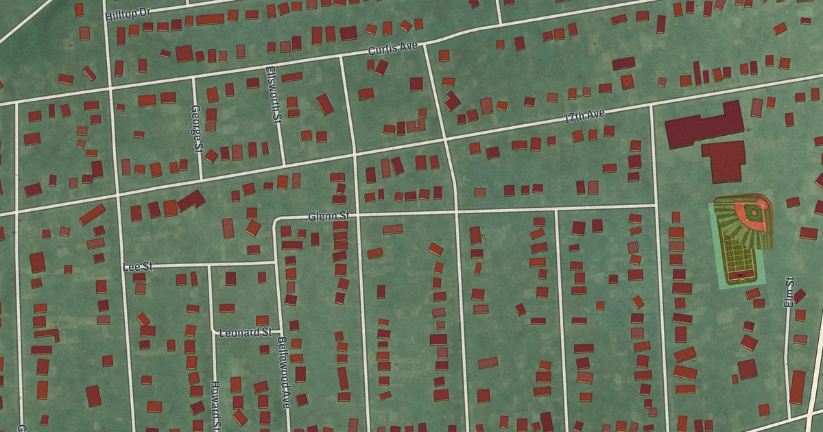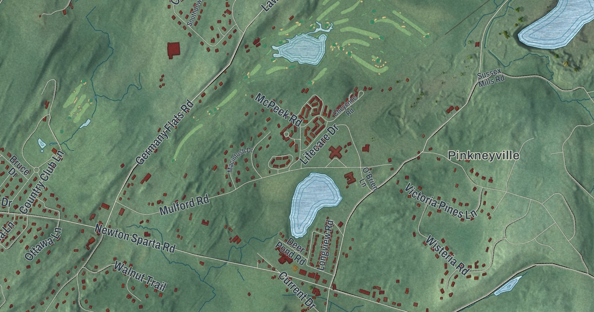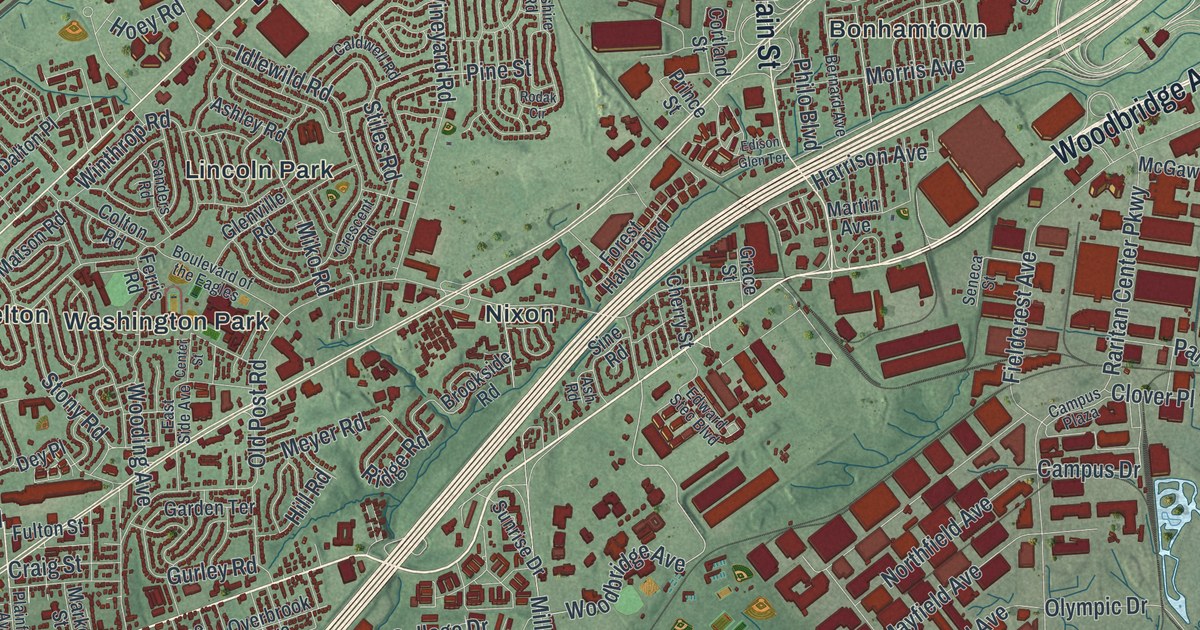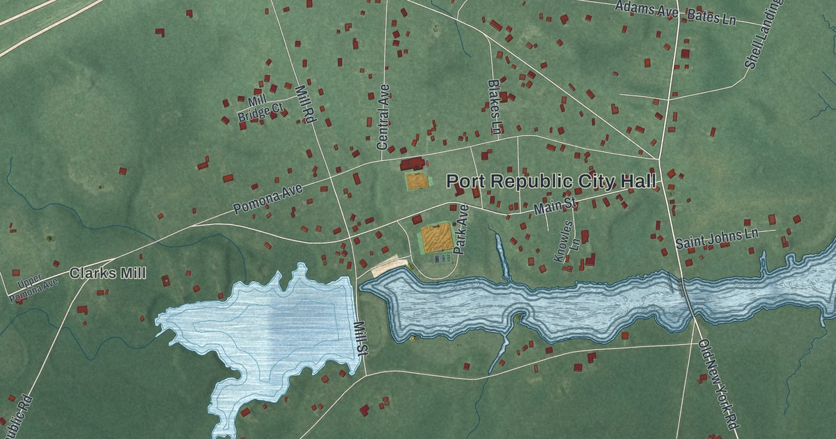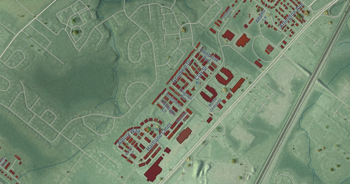
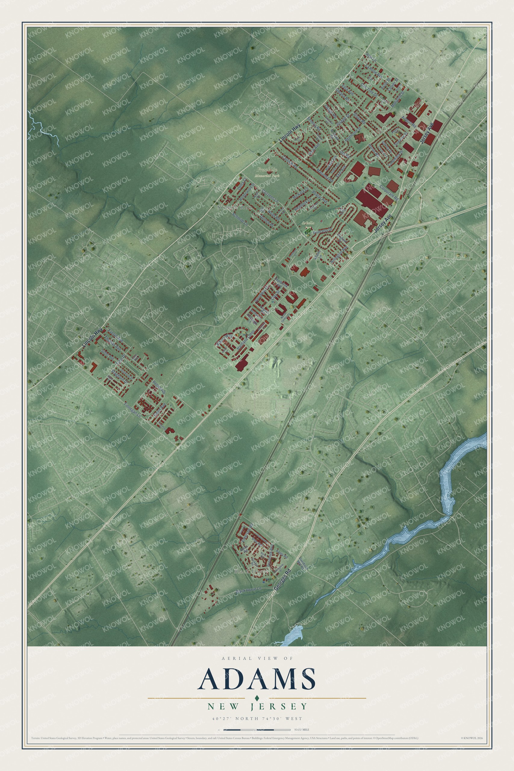
This beautifully detailed map of Adams, New Jersey was created in 2026 using aerial imagery combined with modern topographical, census, street and landmark data. It’s a one-of-a-kind view of Adams that combines accurate data with a vintage aesthetic. The map shows every building in its true location, many of the roads carry their names, and the shaded topographic relief shows the shape of the land.
Explore an aerial view of Adams, New Jersey
On the map you’ll find Black Horse, Franklin Memorial Park, Sabella Park, and Sixmile Run, along with Georges Road, Lincoln Highway, Jersey Avenue, Thomas Avenue, Petunia Drive, Finnegan Lane, Staghorn Drive, Cozzens Lane, and more. If you look closely you can even find your house accurately drawn in its correct location. Zoom in on the preview to look for yours.
Did You Know?
From Internet Archive: "The first life-saving station established on this beach was opened more than fifty years ago, and was known as the Government Boat- House, with Ryan Adams as keeper."
Adams is a community in Middlesex County.
Take a closer look at the Adams map
Names on this map
These names are printed on this map.
Places: Black Horse, Franklin Memorial Park, Sabella Park and Sixmile Run.
Streets and roads: Georges Road, Lincoln Highway, Jersey Avenue, Thomas Avenue, Petunia Drive, Finnegan Lane, Staghorn Drive, Cozzens Lane, Hartland Cmns, Princess Drive, Axel Avenue, Huron Road.
More street names, A to Z
Adams Lane, Airport Road, Albury Way, Arlington Avenue, Aspen Drive, Astor Street, Berkshire Lane, Black Horse Lane, Burns Road, Byron Road, Carlisle Road, Cherokee Road, Clay Street, Clover Street, Columbia Drive, Corporate Road, Crescent Court, Crocus Avenue, Dakota Drive, Darwin Lane, Davidson Mill Road, Deerbrook Boulevard, Delta Court, Dickens Road, Dogwood Drive, Earl Court, Emerson Road, Evelyn Avenue, Fela Avenue, Folkstone Court, Goodwin Drive, Gwyn Avenue, Hadleigh Lane, Hemingway Drive, Hemlock Lane, Hickory Lane, How Lane, Hudson Avenue, Iris Street, Joseph Street, Keats Road, Kingston Run, Lane Avenue, La Rose Avenue, Lilac Drive, Longfellow Road, Marigold Street, Masoma Road, Mohawk Road, Noah Drive, Noah Road, Northam Drive, North Center Drive, Oak Tree Drive, Ohio Avenue, Omaha Road, Orchard Street, Osage Road, Parillo Court, Pawnee Road, Pembrook Avenue, Peoria Place, Platte Avenue, Poe Road, Poplar Avenue, Quince Place, Redmond Street, Redwood Road, Sassafras Court, Schmidt Lane, Seminole Road, Seneca Road, Sioux Road, Sutter Avenue, Suwanee Drive, Tulip Drive, Twain Road, Ute Road, Wedgewood Drive, White Drive.
See it on a wall
The Adams map as a framed print. Swipe for more.


This beautifully detailed map of Adams makes an attractive addition to your office, library, or den, and it can even be used to teach children the geography and history of the area. It also makes a great gift for someone who left Adams and still calls it home. When you’re done exploring, click here to get your copy of the Adams map.