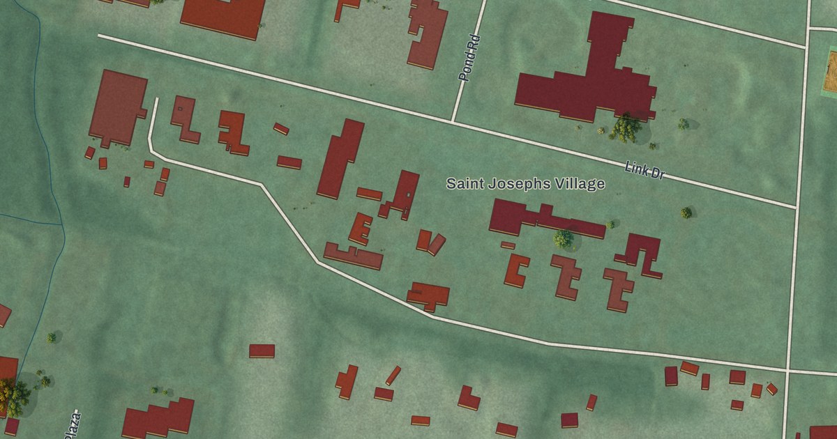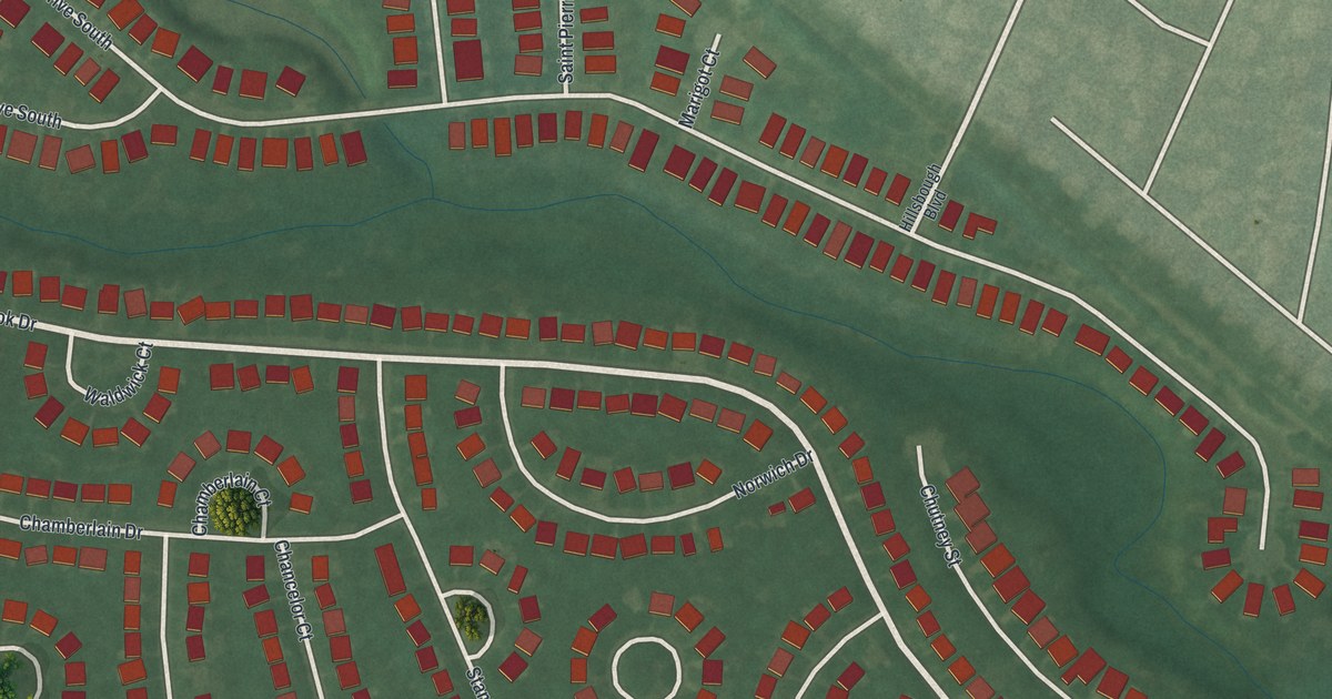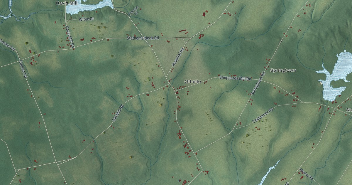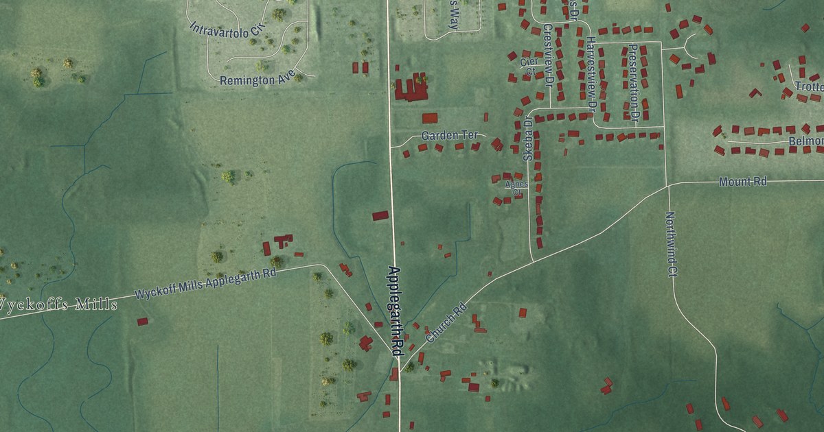
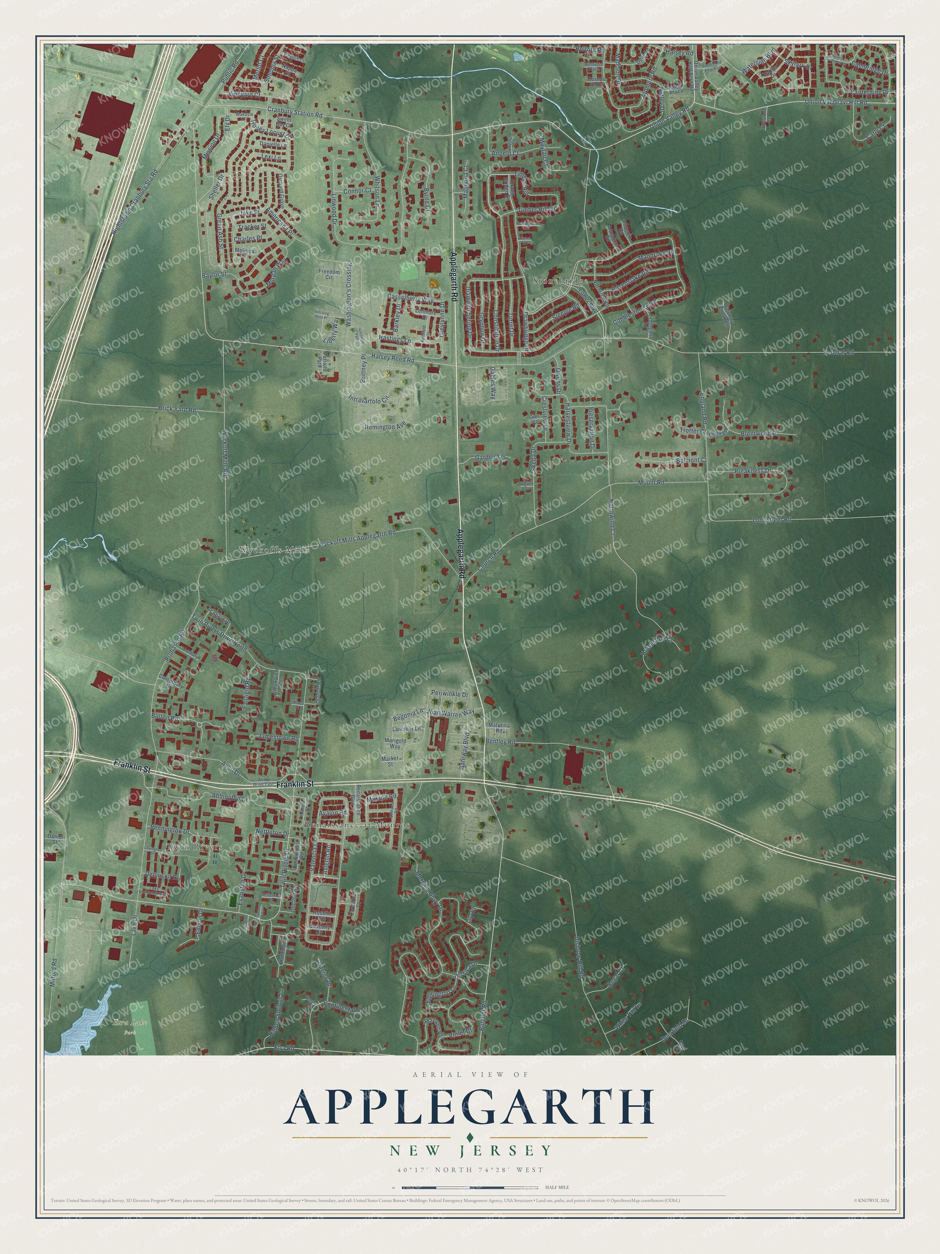
This beautifully detailed map of Applegarth, New Jersey was created in 2026 using aerial imagery combined with modern topographical, census, street and landmark data. It’s a one-of-a-kind view of Applegarth that combines accurate data with a vintage aesthetic. The map shows every building in its true location, many of the roads carry their names, and the shaded topographic relief shows the shape of the land.
Explore an aerial view of Applegarth, New Jersey
On the map you’ll find Etra Lake Park, Stonebridge, Wyckoffs Mills, Renaissance at Monroe, and Twin Rivers, along with Applegarth Road, Franklin Street, Timber Hill Drive, Bolton Road, Halsey Reed Road, Church Road, Twin Rivers Drive, and more. If you look closely you can even find your house accurately drawn in its correct location. Zoom in on the preview to look for yours.
Did You Know?
From Internet Archive: "In England were ancient families named Applegarth, Appleyard and Applethwaite, all meaning substantially the same -an apple orchard."
Applegarth is a community in Middlesex County.
Take a closer look at the Applegarth map
Names on this map
These names are printed on this map.
Places: Etra Lake Park, Stonebridge, Wyckoffs Mills, Renaissance at Monroe and Twin Rivers.
Streets and roads: Applegarth Road, Franklin Street, Timber Hill Drive, Bolton Road, Halsey Reed Road, Church Road, Twin Rivers Drive, Union Val Gravl Hill Road, Union Valley Road, Federal Road, Cranbury Station Road, Cobblestone Boulevard.
More street names, A to Z
Abbington Drive, Abolition Path, Agnes Court, Americana Place, Angelo Court, Aquaduct Road, Ardmore Road, Avalon Road, Avignin Road, Avon Drive, Avon Drive East, Azalea Plaza, Barkley Drive, Baylor Street, Begonia Lane, Belford Road, Bella Drive, Belmont Court, Bennington Drive, Bentley Road, Berberis Plaza, Brentwood Place, Brick Yard Road, Brittney Place, Butcher Road, Byrne Court, Cambridge Drive, Canterbury Court, Canterbury Drive, Carly Court, Casey Drive, Casselberry Way, Chablis Court, Charles Place, Cier Court, Connor Court, Constitution Drive, Continental Court, Cornus Plaza, Country Brook Lane, Covington Drive, Crestview Drive, Danbury Court, Danielle Lane, Daniel Street, Davino Drive, Deal Road, Deerfield Drive, Dennison Drive, Diamond Spring Drive, Disbrow Hill Road, Doe Court, Drawbridge Drive, Drawn Bridge Drive, Eddington Lane, Edison Drive, Ely Drive, Enfield Drive, England Road, Etra Road, Evanston Drive, Fairfield Road, Farrington Drive, Fontaine Court, Freedom Circle, Gables Way, Garden Terrace, Gascony Road, Gateway Boulevard, Green Ash Street, Greenwich Court, Greylynne Drive, Gryphon Drive, Halsey Road, Harrier Drive, Harvestview Drive, Hastings Lane, Hebron Drive, Hidden Springs Lane, Hightstown Cranbury Sta Road, Hitching Post Place, Honey Locust Drive, Horseshoe Court, Huntington Drive, Intravartolo Circle, Ironstone Lane, Ithaca Place, Iverson Place, Jake Place, James Buchanan Drive, Jamestown Road, Jefferson Drive, Jessica Drive, Joan Warren Way, Kricket Court, Lake Condominiums, Lake Drive, Larkspur Lane, Lenmore Court, Lexi Lane, Liberty Way, Lilac Road, Lily Court, Linwood Drive, Lionheart Road, Longstreet Road, Madison Drive, Magnolia Court, Makayla Court, Mandrake Road, Marigold Way, Market Street, Matutina Road, Maxwell Road, Mayfair Court, Melinda Drive, Merlot Court, Milford Road, Mission Drive, Morgan Way, Morning Glory Drive, Mount Road, Murano Road, Nappa Court, Nettleton Drive, Nocturne Road, Northwind Court, Nottingham Court, Nutley Drive, Orchard Grove, Orleans Road, Overton Road, Owens Drive, Patriots Path, Pennington Road, Periwinkle Drive, Phoenix Road, Preakness Drive, Preservation Drive, Probasco Road, Public Road, Ravenslake Road, Regal Court, Remington Avenue, Renaissance Boulevard, Renfield Drive, Robertson Road, Rossini Avenue, Rustic Court, Sheller Drive, Skeba Drive, Skylark Drive, Sonoma Street, South Pond View Boulevard, Steeple Road, Sweet Bay Court, Timber Hill, Tower Boulevard, Tracker Street, Trotter Court, Turret Drive, Twin Rivers Drive North, Union Valley Half Acre Road, Valencia Drive, Vineyard Court, Violet Court, Washington's Crossing, Waterside Boulevard, White Tail Lane, Whitson Lane, Wyckoff Mills Applegarth Road, Wyckoff Mills Road.
See it on a wall
The Applegarth map as a framed print. Swipe for more.


This beautifully detailed map of Applegarth makes an attractive addition to your office, library, or den, and it can even be used to teach children the geography and history of the area. It also makes a great gift for anyone with Applegarth roots. When you’re done exploring, click here to get your copy of the Applegarth map.