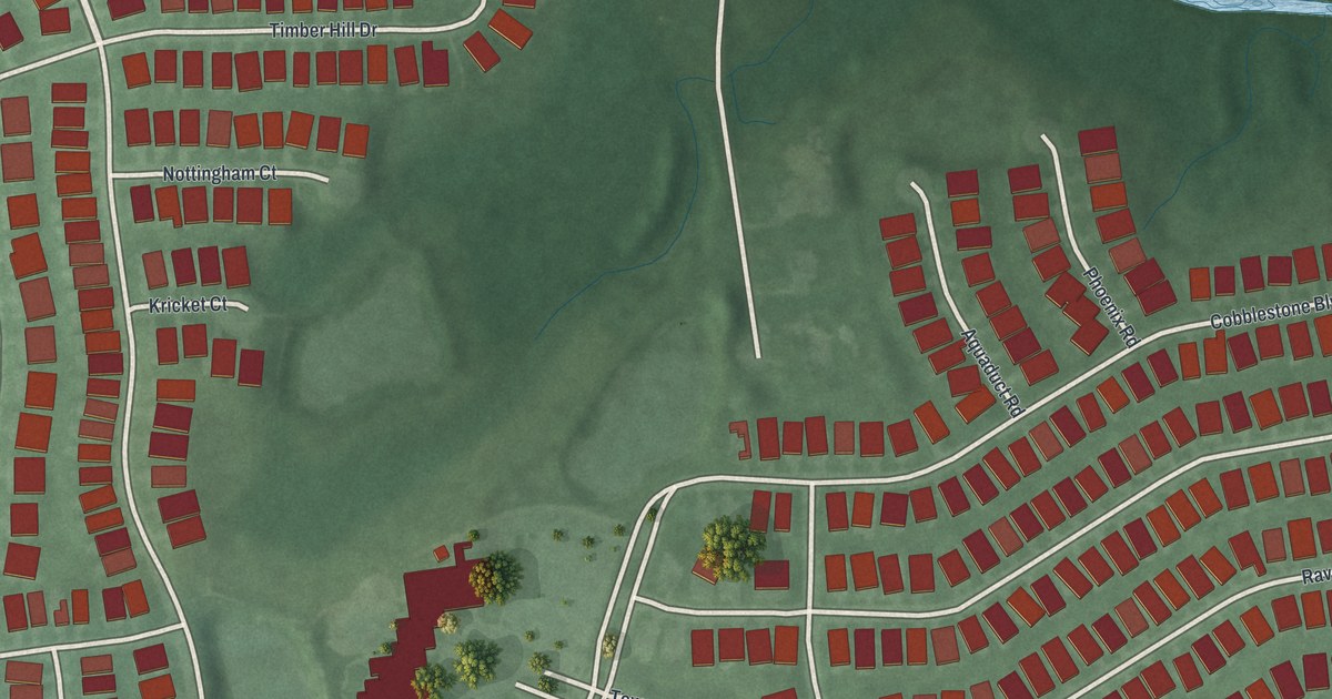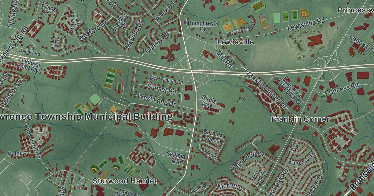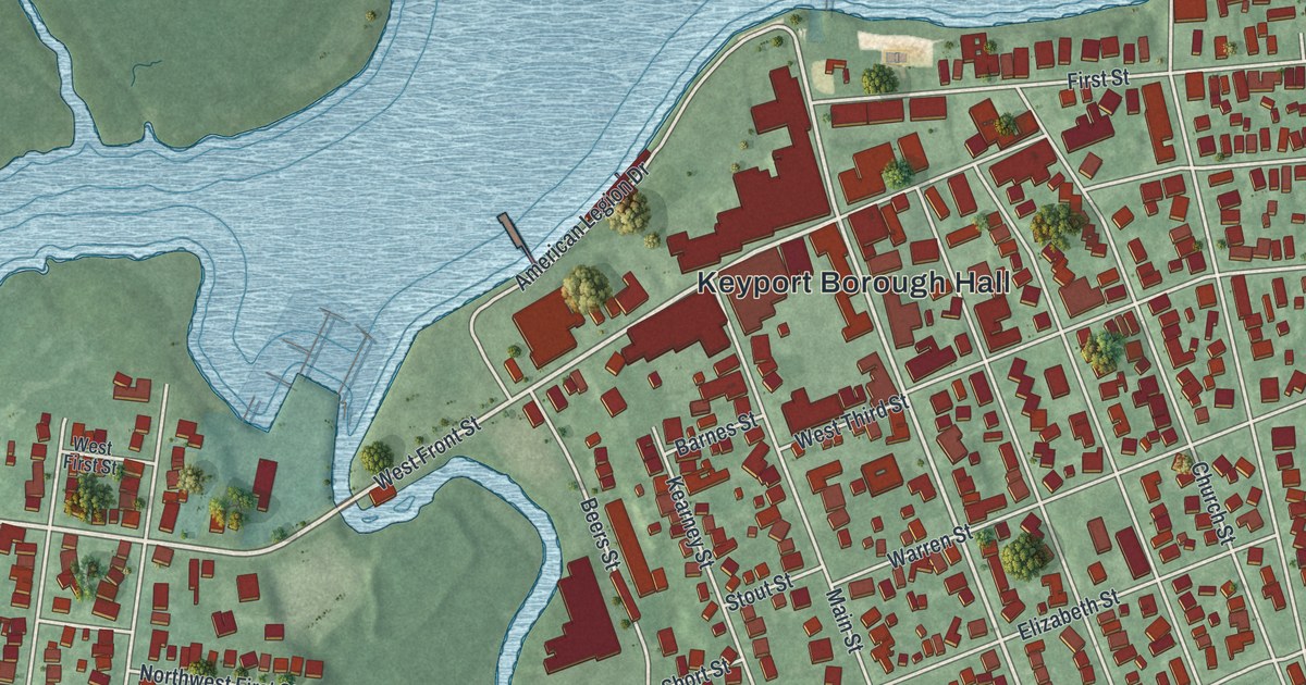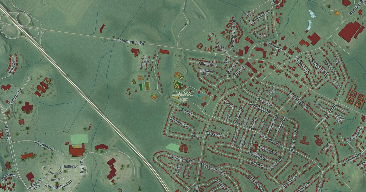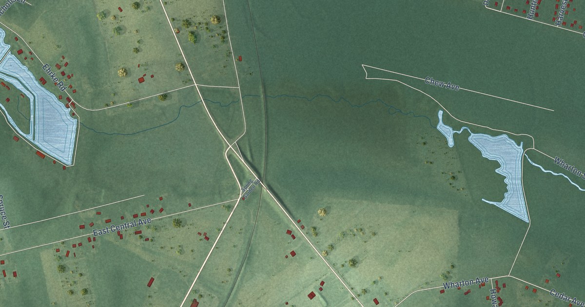
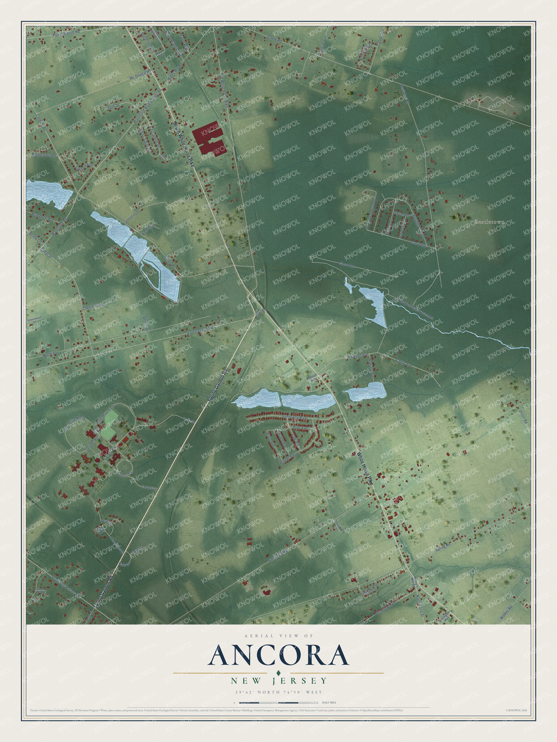
This beautifully detailed map of Ancora, New Jersey was created in 2026 using aerial imagery combined with modern topographical, census, street and landmark data. It’s a one-of-a-kind view of Ancora that combines accurate data with a vintage aesthetic. The map shows every building in its true location, many of the roads carry their names, and the shaded topographic relief shows the shape of the land.
Explore an aerial view of Ancora, New Jersey
On the map you’ll find Pestletown and Elm, along with Spring Garden Road, White Horse Pike, South White Horse Pike, Curry Avenue, East Judith Drive, Fleming Pike, Spring Road, Chew Road, Ehrke Road, Old White Horse Pike, and more. If you look closely you can even find your house accurately drawn in its correct location. Zoom in on the preview to look for yours.
Did You Know?
From Internet Archive: "In 1868 a good building was put up in Bates Mill District, and in 1869 an equally good one was erected in Ancora District."
Ancora is a community in Camden County.
Take a closer look at the Ancora map
Names on this map
These names are printed on this map.
Places: Pestletown and Elm.
Streets and roads: Spring Garden Road, White Horse Pike, South White Horse Pike, Curry Avenue, East Judith Drive, Fleming Pike, Spring Road, Chew Road, Ehrke Road, Old White Horse Pike, East Central Avenue, Waterford Road.
More street names, A to Z
Acevedo Lane, Autumn Crest Drive, Bates Mill Road, Beebetown Road, Bennett Avenue, Birch Avenue, Braddock Avenue, Brookfield Lane, Cedar Avenue, Cedar Street, Center Circle, Center Drive, Chestnut Avenue, Chew Avenue, Condo Avenue, Conrad Avenue, Day Street, De Pasquale Estate Drive, Elmtowne Boulevard, Fern Lane, Flittertown Road, Greenwood Lane, Harvest Lane, Hay Street, Howard Avenue, Hunters Lane, Iannaco Lane, Judith Court, Juniper Road, Lake Drive, Lakeview Drive, Landing Road, Laurel Court, Laurel Lane, Lexington Avenue, Locust Lane, Maple Avenue, Mc Dougal Road, Nicholls Lane, North Avenue, North Third Street, Oak Avenue, Oak Red, Park Drive, Pestleton Road, Pilgrim Way, Pine Avenue, Pine Drive East, Pine Drive North, Poplar Avenue, Pump Branch Road, Seth Drive, Shady Lane, Sherry Lynn Court, South Atlantic Avenue, South Egg Harbor Road, South Second Street, South Third Street, Spruce Avenue, Spruce Street, Twig Lane, Union Road, Walker Road, Waterford-Blue Anchor Road, West Judith Drive, Wharton Avenue, Wharton State Forest Road, Wiltey's Mill Road, Winslow Drive, Woodland Drive.
See it on a wall
The Ancora map as a framed print. Swipe for more.


This beautifully detailed map of Ancora makes an attractive addition to your office, library, or den, and it can even be used to teach children the geography and history of the area. It also makes a great gift for anyone with Ancora roots. When you’re done exploring, click here to get your copy of the Ancora map.