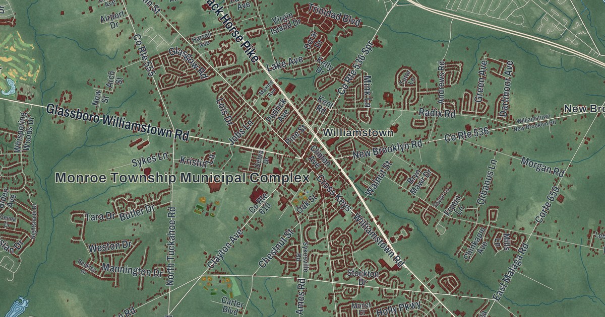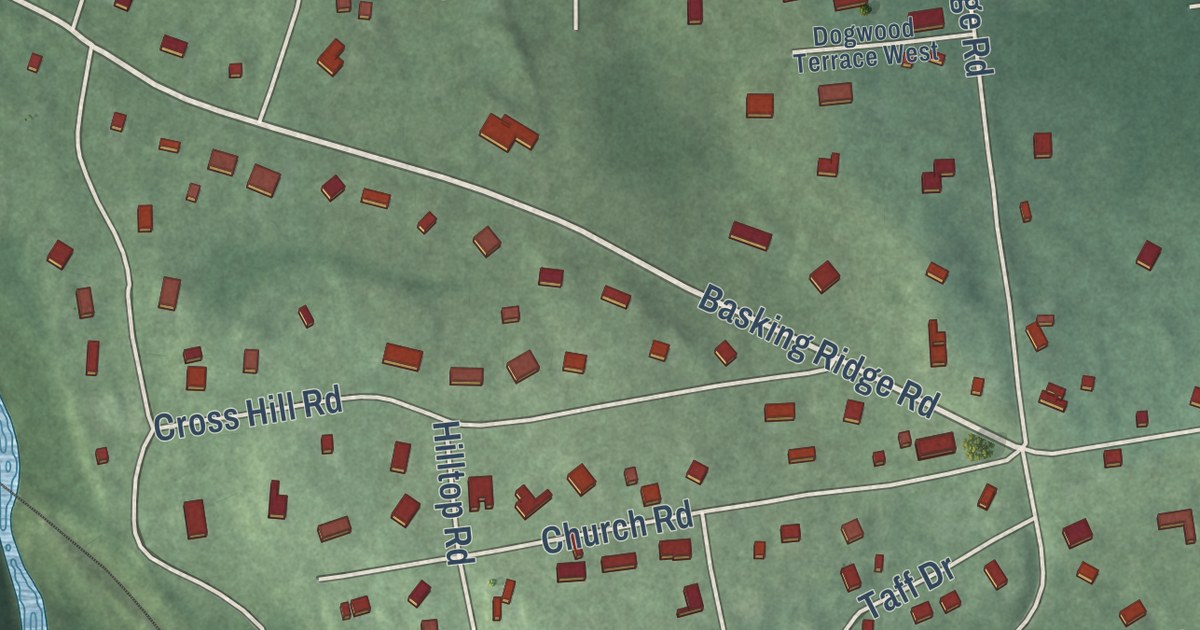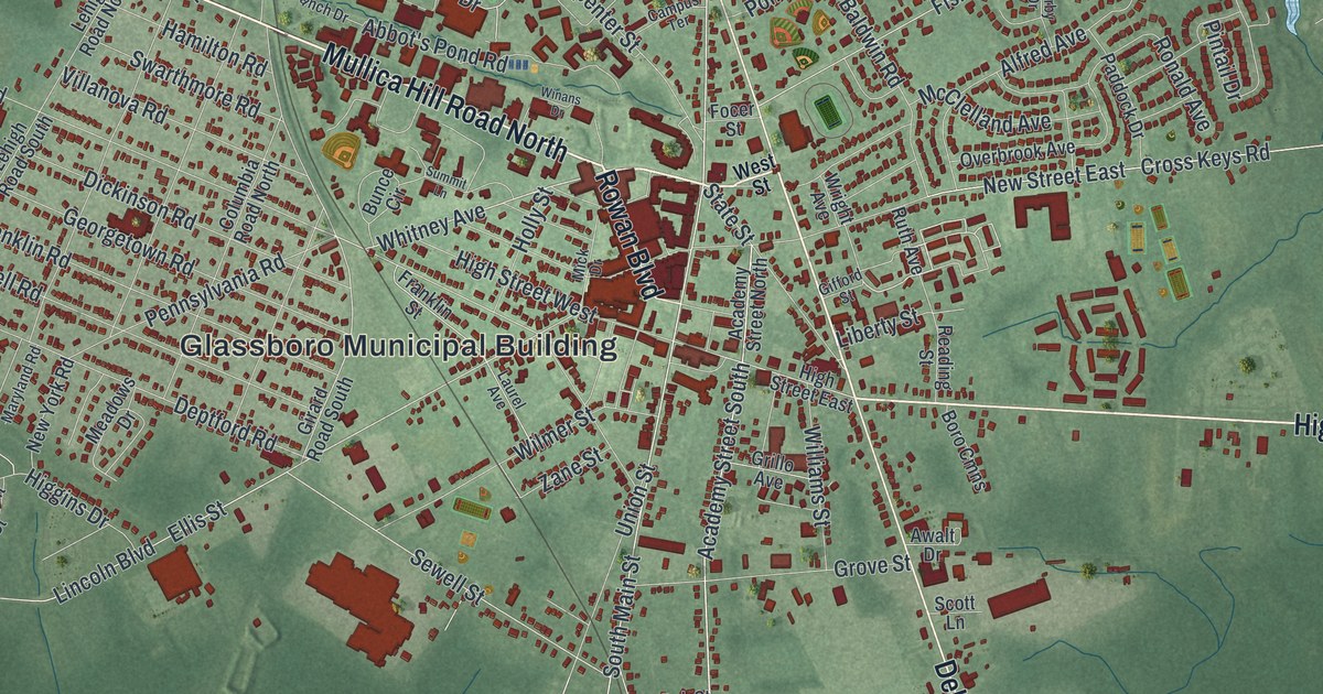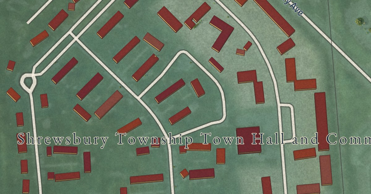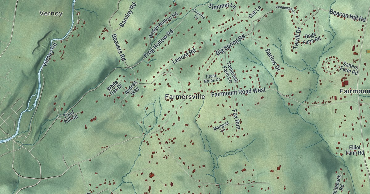
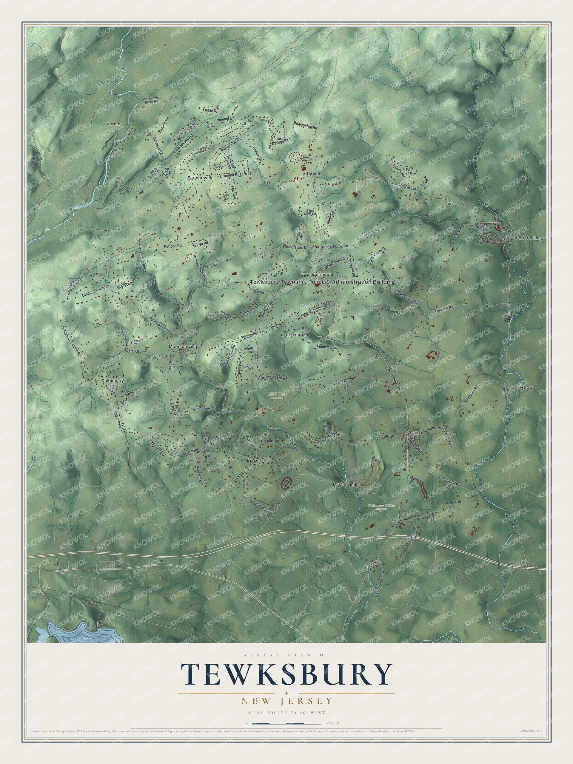
This beautifully detailed map of Tewksbury, New Jersey was created in 2026 using aerial imagery combined with modern topographical, census, street and landmark data. It’s a one-of-a-kind view of Tewksbury that combines accurate data with a vintage aesthetic. The map shows every building in its true location, many of the roads carry their names, and the shaded topographic relief shows the shape of the land.
Explore an aerial view of Tewksbury, New Jersey
On the map you’ll find Tewksbury Township Police & Administration Building, Vernoy, Bissell, Cokesbury, Fairmount, Farmersville, Hill & Dale Preserve, and Whittemore Wildlife Sanctuary, along with Church Street, Beacon Hill Road, Vernoy Road, Old Turnpike Road, and more. If you look closely you can even find your house accurately drawn in its correct location. Zoom in on the preview to look for yours.
Did You Know?
German families began settling Tewksbury around 1749 and soon shaped the township. Their village was called New Germantown. During World War I, prejudice against Germans led residents to rename it Oldwick. Its Zion Lutheran Church, founded in 1714, is New Jersey’s oldest German Lutheran parish.
Take a closer look at the Tewksbury map
Names on this map
These names are printed on this map.
Places: Tewksbury Township Police & Administration Building, Vernoy, Hill & Dale Preserve, Whittemore Wildlife Sanctuary, Bissell, Cokesbury, Fairmount, Farmersville, Laurel Farms, Lower Fairmount, McCrea Mills, Mountainville, Oldwick, Pottersville and Vliettown.
Streets and roads: Church Street, Beacon Hill Road, Vernoy Road, Old Turnpike Road, Fairmount Road East, Main Street, Fairmount Road West, Cokesbury Califon Road, Cokesbury Road, Oldwick Road, Lamington Road, King Street.
More street names, A to Z
Addison Drive, Alder Creek Drive, Alpaugh Farm Road, Andrea Way, Apgar Way, Apple Lane, Barclay Road, Barlow Drive, Bartles Road, Beavers Road, Big Spring Road, Bissell Road, Black River Road, Boulder Hill Road, Bridge Hollow Road, Burrell Road, Califon Cokesbury Road, Cedar Ridge Road, Coddington Lane, Cold Brook Road, Cold Springs Road, Country Lane, Cross Brook Drive, Deer Hill Road, Dege Farm Road, Dinner Pot Road, Dryden Road, Elliot Farm Road, Farley Road, Farmersville Road, Felmley Road, Field Lane, Fieldstone Road, Fieldview Lane, Flint Hill Road, Fox Hill Road, Fox Run, Frog Hollow Road, Glennon Farm Lane, Guinea Hollow Road, Gulick Road, Halsey Farm Lane, Hedge Row Crossing, High Street, Hildebrant Trail, Hill and Dale Road, Hillview Drive, Hollow Brook Road, Homestead Road, Honeyman Road, Hunters Circle, Jeffrey Court, Joliet Street, Keats Road, Laurel Mountain Way, Lenore Road, Logan Drive, Longview Road, Marigold Lane, Martens Road, Matheson Road, McCan Mill Road, Meadow Lane, Mountain Road, New Bromley Road, Oak Lane, Old Driftway Lane, Old Mine Road, Orchard Lane, Palatine Road, Parsonage Lot Road, Philhower Road, Potter Lane, Potterstown Road, Pruner Farm Road, Ridge Road, Rockaway Road, Round Top Road, Salters Farm Road, Sawmill Road, Sblendorio Way, Schoolhouse Lane, Stillery Road, Still Hollow Road, Stoney Creek Lane, Strawberry Lane, Summer Lane, Sutton Road, Suttons Road, Tamarack Farm Lane, Terrill Drive, Tiger Drive, Toad Hill Road, Uptom Pine Road, Van Pelt Road, Viewpoint Terrace, Vliettown Road, Water Street, Welsh Road, West Valley Brook Road, Whitenack Road, White Oak Drive, Wildwood Road, Wintermute Farm Lane, Winterwood Road.
See it on a wall
The Tewksbury map as an 18 x 24 inch print in a black frame.

This beautifully detailed map of Tewksbury makes an attractive addition to your office, library, or den, and it can even be used to teach children the geography and history of the area. It also makes a great gift for anyone with Tewksbury roots. When you’re done exploring, click here to get your copy of the Tewksbury map.