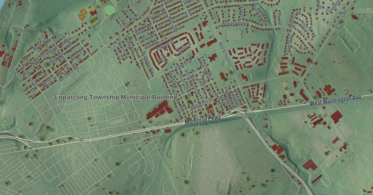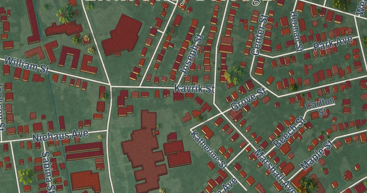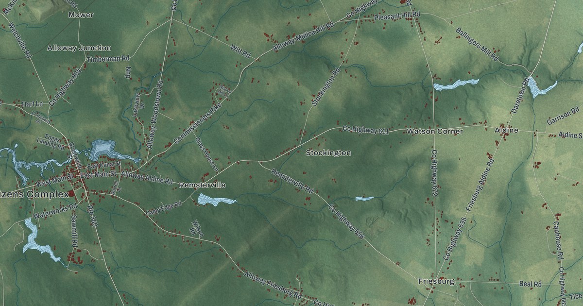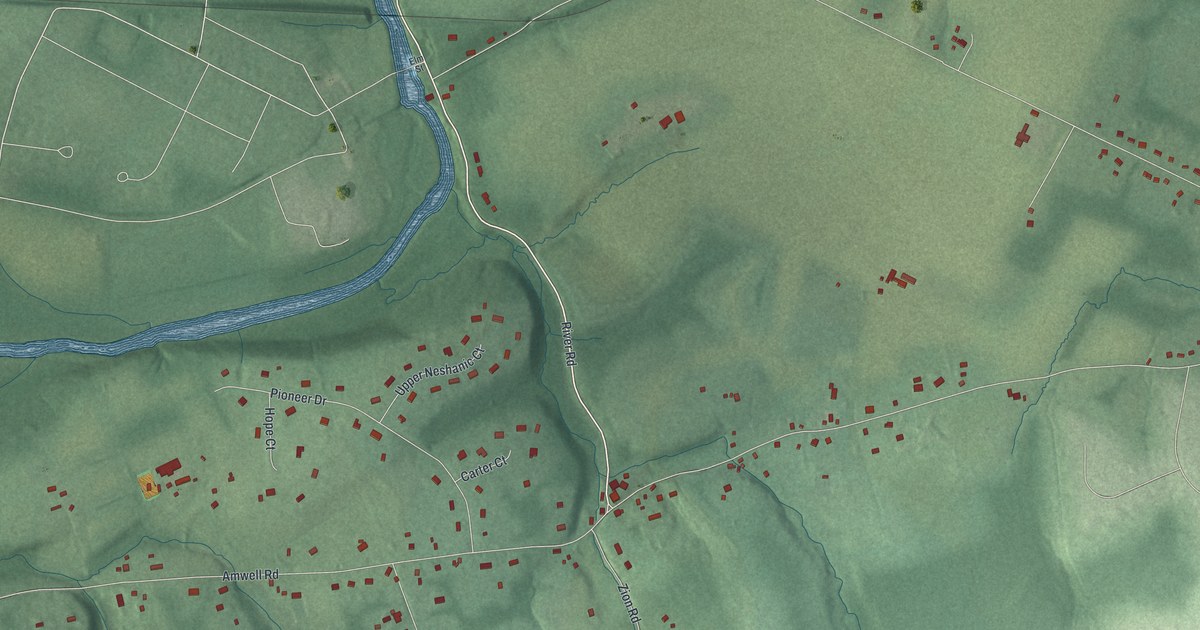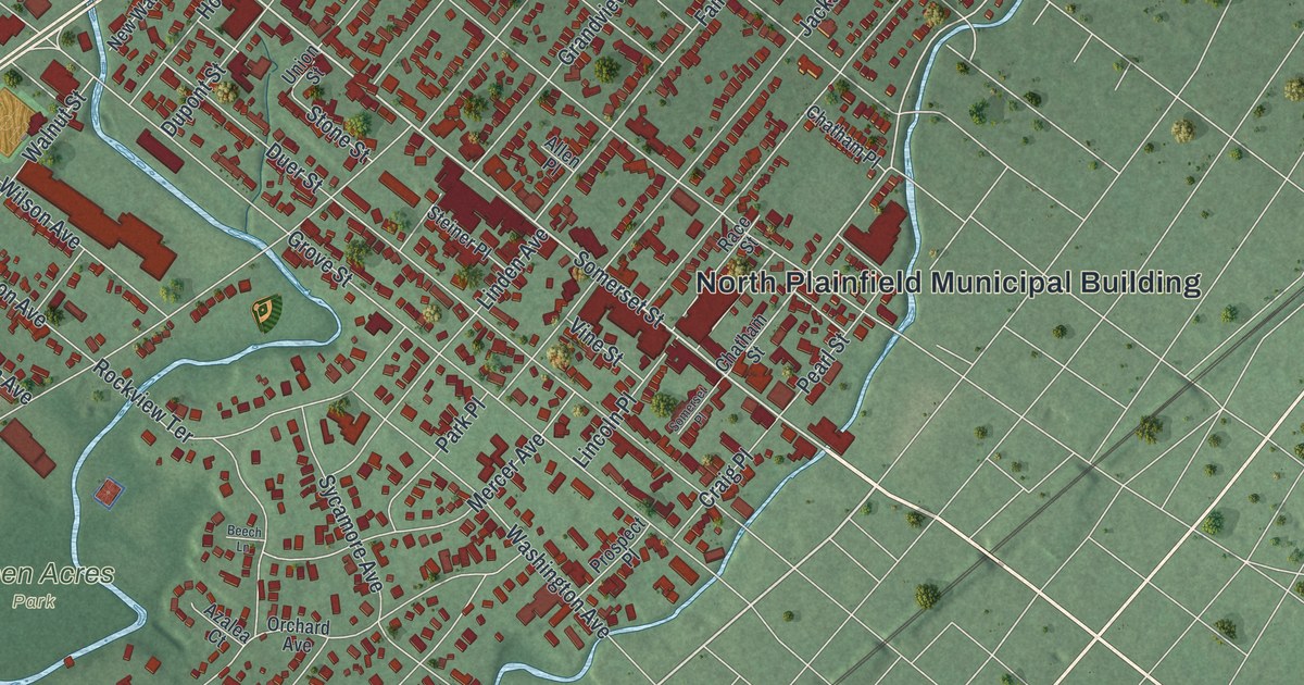
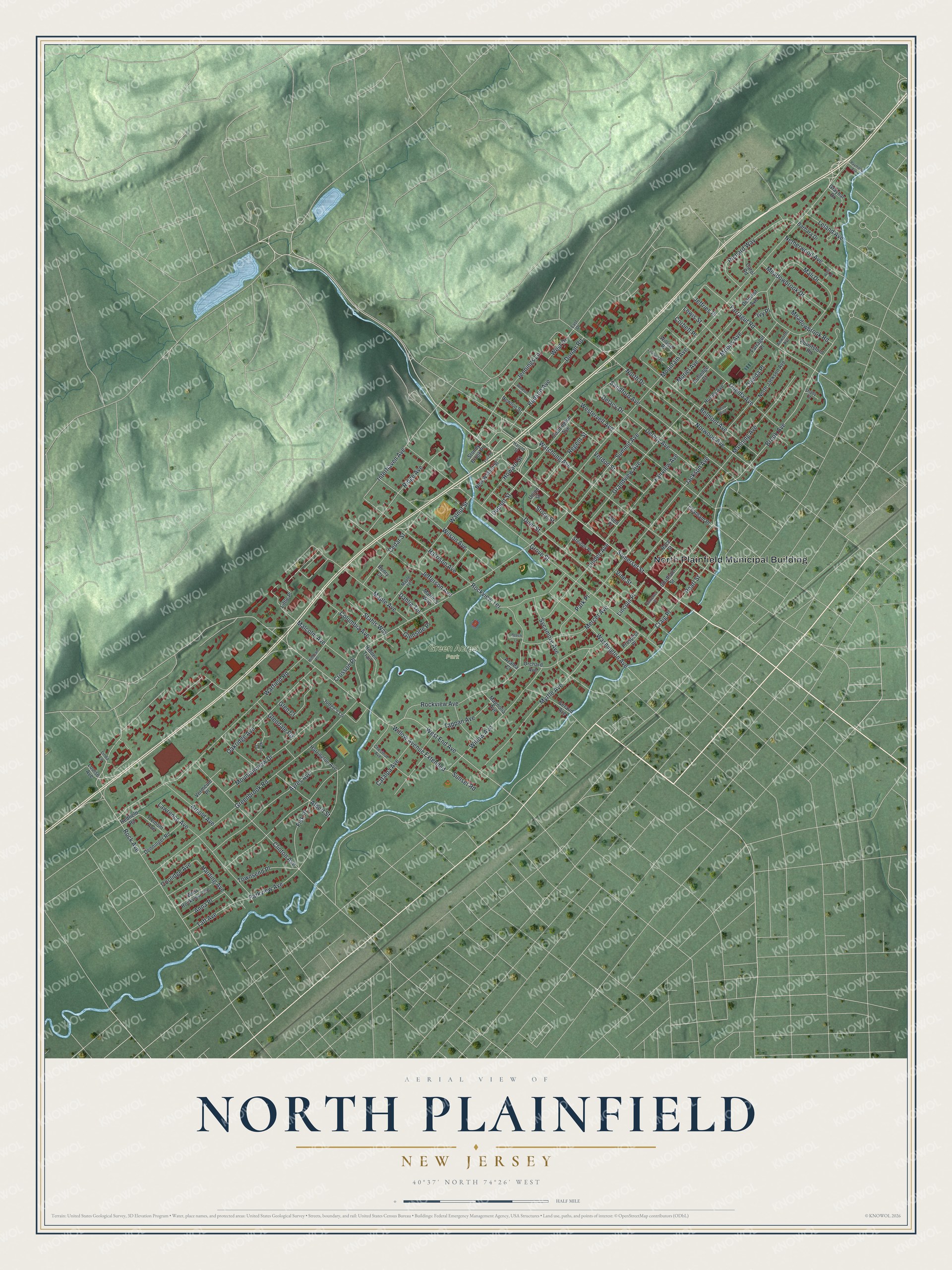
This beautifully detailed map of North Plainfield, New Jersey was created in 2026 using aerial imagery combined with modern topographical, census, street and landmark data. It’s a one-of-a-kind view of North Plainfield that combines accurate data with a vintage aesthetic. The map shows every building in its true location, many of the roads carry their names, and the shaded topographic relief shows the shape of the land.
Explore an aerial view of North Plainfield, New Jersey
On the map you’ll find North Plainfield Municipal Building and Green Acres Park, along with Somerset Street, Hudson Avenue, End Avenue, Brook Avenue, and more. If you look closely you can even find your house accurately drawn in its correct location. Zoom in on the preview to look for yours.
Did You Know?
North Plainfield’s Washington Park Historic District covers 100 acres of homes built between 1868 and 1917. Its 145 contributing buildings earned a place on the National Register in 1987. The Episcopal Church of the Holy Cross went up there in 1868 in the Carpenter Gothic style.
Take a closer look at the North Plainfield map
Names on this map
These names are printed on this map.
Places: North Plainfield Municipal Building and Green Acres Park.
Streets and roads: Somerset Street, Hudson Avenue, West End Avenue, Brook Avenue, Rock Avenue, Farragut Road, Greenbrook Road, Rockview Avenue, Mountain Avenue, Grove Street, Watchung Avenue, Manning Avenue.
More street names, A to Z
Abbotsford Road, Albert Street, Allen Place, Anna Place, Anworth Avenue, Arnold Avenue, Ayres Avenue, Azalea Court, Barbara Drive, Beech Lane, Belmont Avenue, Berry Hill Court, Carol Road, Catalpa Avenue, Cedar Street, Chatham Place, Chatham Street, Chestnut Avenue, Clinton Avenue, Coddington Avenue, Columbia Avenue, Coolidge Avenue, Corbett Place, Craig Place, Crosson Place, Dahlia Terrace, Deforest Avenue, Delacy Avenue, Delacy Drive, Denninger Road, Dorian Road, Duer Street, Dupont Street, East Drive, Fairview Avenue, Farragut Place, Fisk Place, Fritz Place, Geraud Avenue, Glen Court, Glendale Road, Glenside Place, Grandview Avenue, Graybar Drive, Harding Avenue, Harold Street, Harrington Avenue, Harrison Avenue, Henry Court, Hidden Trail, Hillman Place, Howard Street, Hurley Avenue, Interhaven Avenue, Ivy Place, Jackson Avenue, Jefferson Avenue, Jeffries Place, Jennings Lane, Judge's Lane, Kent Place, Lawrence Avenue, Leland Avenue, Leonard Place, Lewis Street, Lincoln Place, Linda Lane, Linden Avenue, Little Place, Louise Avenue, Magnolia Avenue, Malcolm Avenue, Mali Drive, Maple Avenue, Maple Terrace, Martin's Way, Meadowbrook Drive, Meadowbrook Road, Mercer Avenue, Mobus Avenue, Mountainview Drive, Muriel Avenue, Myrtle Avenue, Netherwood Avenue, Newton Street, New Walnut Street, North Drive, North Jackson Avenue, Norwood Avenue, Oakridge Avenue, Oneida Avenue, Oneida Place, Orchard Avenue, Park Place, Parkview Avenue, Pearl Street, Prospect Place, Race Street, Raymond Avenue, Redfield Road, Regent Street, Richard Way, Ridge Avenue, Rockview Terrace, Rutledge Court, Sandford Avenue, Shady Court, Somerset Place, Stahls Way, Steiner Place, Stone Street, Stoney Brook Place, Summit Avenue, Sunset Road, Sycamore Avenue, Taft Avenue, Tappan Avenue, Townsend Place, Tremont Avenue, Union Street, Verdon Street, Vermeule Place, Vine Street, Walnut Street, Warfield Road, Washington Avenue, Wells Road, West Drive, Westervelt Avenue, West Rockview Avenue, Willard Place, Willow Avenue, Willow Avenue Extended, Wilson Avenue, Windsor Street.
See it on a wall
The North Plainfield map as an 18 x 24 inch print in a black frame.

This beautifully detailed map of North Plainfield makes an attractive addition to your office, library, or den, and it can even be used to teach children the geography and history of the area. It also makes a great gift for anyone who grew up in North Plainfield or moved away. When you’re done exploring, click here to get your copy of the North Plainfield map.