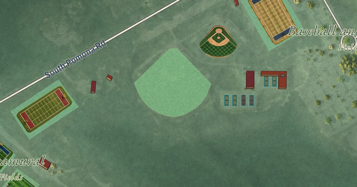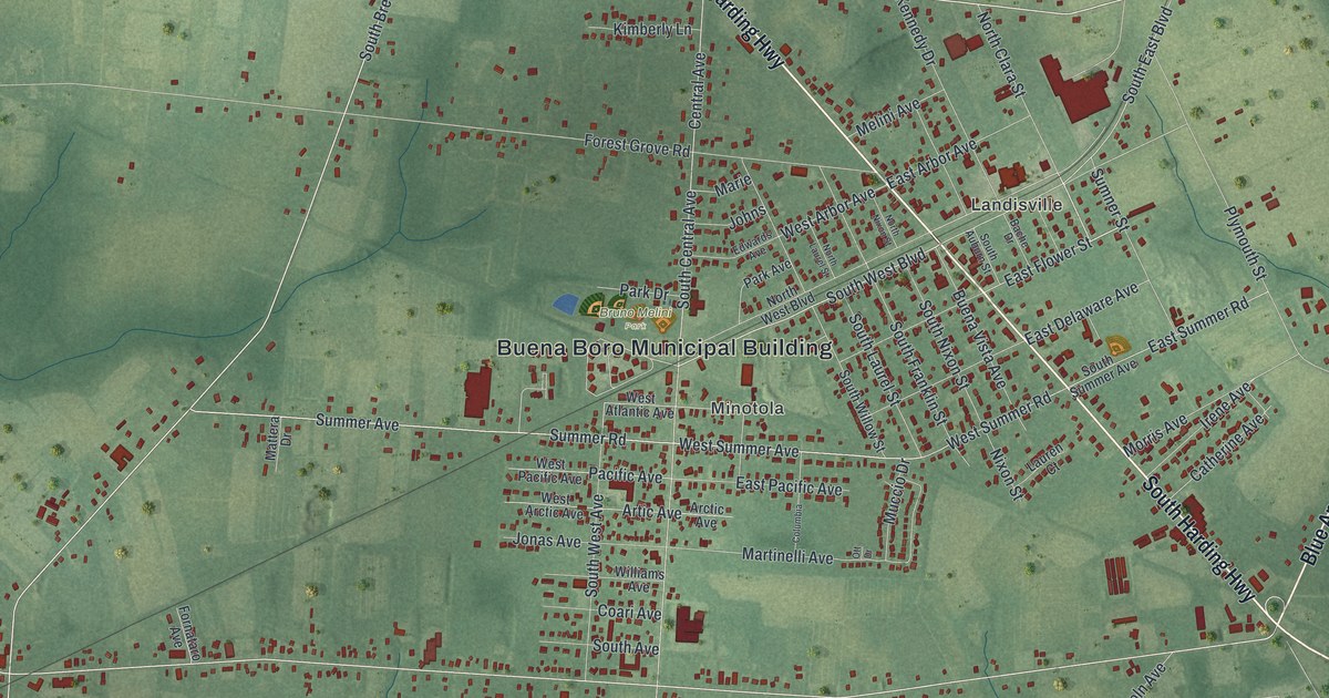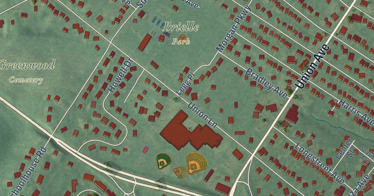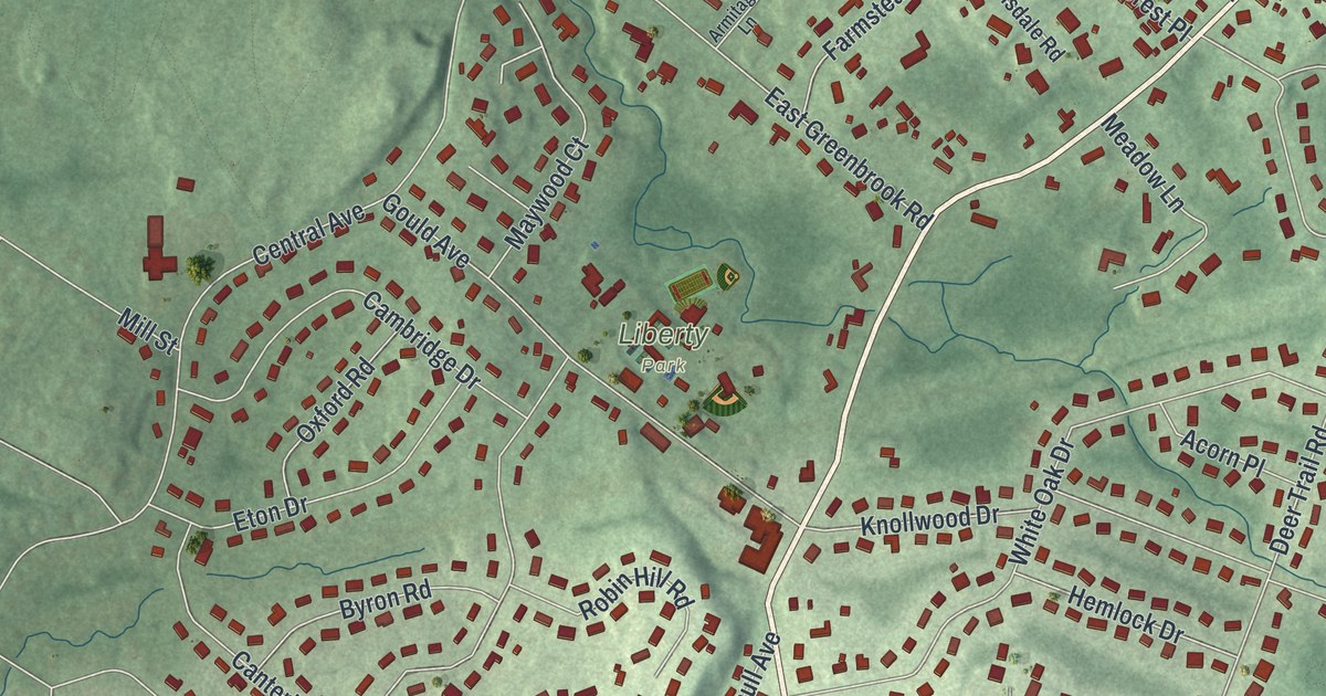
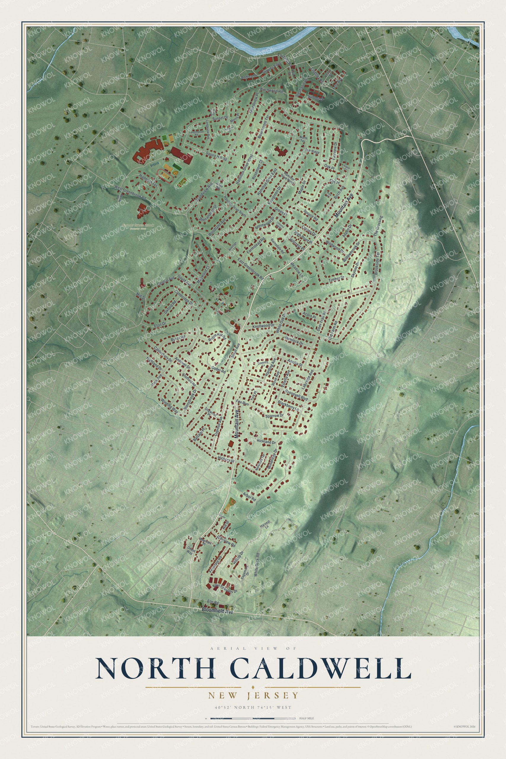
This beautifully detailed map of North Caldwell, New Jersey was created in 2026 using aerial imagery combined with modern topographical, census, street and landmark data. It’s a one-of-a-kind view of North Caldwell that combines accurate data with a vintage aesthetic. The map shows every building in its true location, many of the roads carry their names, and the shaded topographic relief shows the shape of the land.
Explore an aerial view of North Caldwell, New Jersey
On the map you’ll find Liberty Park, along with Mountain Avenue, Bloomfield Avenue, Fairfield Road, Hamilton Drive, Beachmont Terrace, and more. If you look closely you can even find your house accurately drawn in its correct location. Zoom in on the preview to look for yours.
Did You Know?
North Caldwell takes its name from James Caldwell, a Presbyterian minister. The borough was formed in 1898 from parts of Caldwell Township. Its land once belonged to the Horseneck Tract. Settlers bought that 14,000-acre tract from the Lenape in 1702 for goods worth 325 dollars.
Take a closer look at the North Caldwell map
Names on this map
These names are printed on this map.
Places: Former Green Brook Country Club and Liberty Park.
Streets and roads: Mountain Avenue, Bloomfield Avenue, Fairfield Road, Hamilton Drive West, Beachmont Terrace, Lindsley Road, Andrea Drive, Grandview Avenue, Brookside Terrace, Evergreen Drive, Central Avenue, Hamilton Drive East.
More street names, A to Z
Acorn Place, Allen Road, Amelia Street, Andover Drive, Angela Court, Arbor Road, Armitage Lane, Aspen Drive, Balsam Place, Barnsdale Road, Birch Avenue, Birchwood Road, Blackberry Lane, Brentwood Drive, Byron Road, Cambridge Drive, Canterbury Drive, Chestnut Hill Road, Colony Drive, Courter Lane, Coventry Lane, Cypress Avenue, Deer Trail Road, Dogwood Place, East Greenbrook Road, Elm Place, Elm Road, Estella Avenue, Eton Drive, Fairview Drive, Farmstead Road, Fern Avenue, Ferndale Road, Four Seasons Drive, Fox Run, Glenview Road, Gould Avenue, Grandview Place, Green Place, Hamilton Drive North, Hamilton Drive South, Hampton Court, Harding Avenue, Harvest Lane, Hemlock Drive, Hickory Drive, Highfield Terrace, Highland Drive, High Point Place, Hillcrest Place, Hill Street, Hilltop Drive, Knollwood Drive, Lakeside Avenue, Longview Avenue, Maple Drive, Maywood Court, Meadow Lane, Mill Street, Morris Place, Mountain Place, North Terrace, Norwood Terrace, Oak Place, Oak Ridge, Old Farm Road, Old Mill Road, Orient Way, Oxford Road, Park Avenue, Park Place, Pine Place, Rickland Drive, Robin Hill Road, Roosevelt Boulevard, Rose Avenue, Rosemont Court, Sagamore Drive, Sheffield Road, Shenandoah Drive, Skyline Drive, Smull Avenue, Soder Road, Sparrow Drive, Spruce Road, Squire Hill Road, Stephanie Drive, Stepping Ridge, Stonybrook Drive, Summit Drive, Sunset Drive, Tanglewood Road, The Crossing, Timber Drive, Valley View Place, Veazy Street, West Greenbrook Road, White Oak Drive, White Rock Road, Wildwood Drive, Willowbrook Drive, Winding Way, Windridge Drive, Woodland Avenue, York Place.
See it on a wall
The North Caldwell map as an 18 x 24 inch print in a black frame.

This beautifully detailed map of North Caldwell makes an attractive addition to your office, library, or den, and it can even be used to teach children the geography and history of the area. It also makes a great gift for anyone with North Caldwell roots. When you’re done exploring, click here to get your copy of the North Caldwell map.