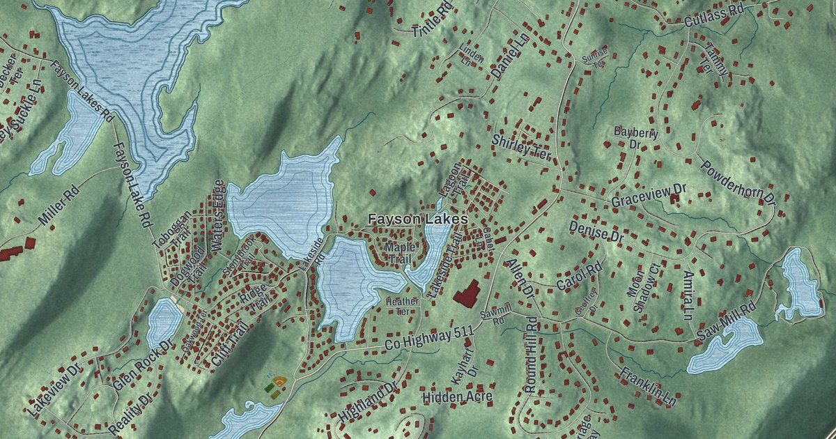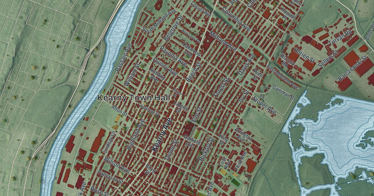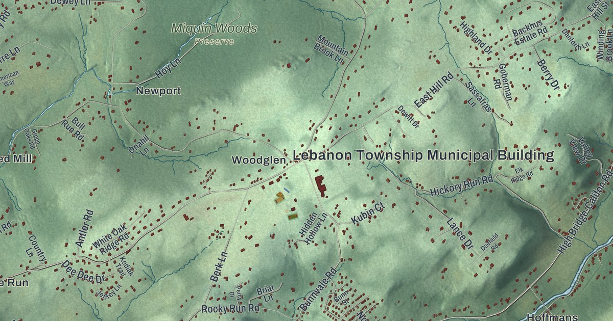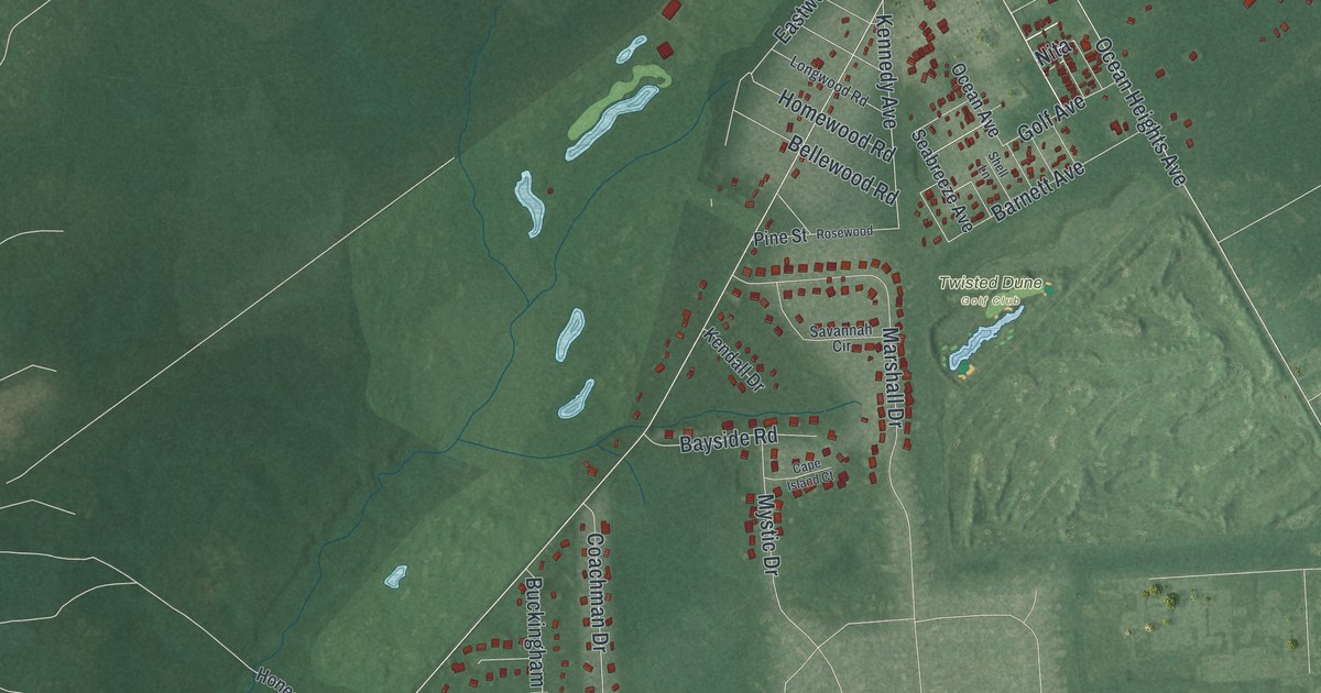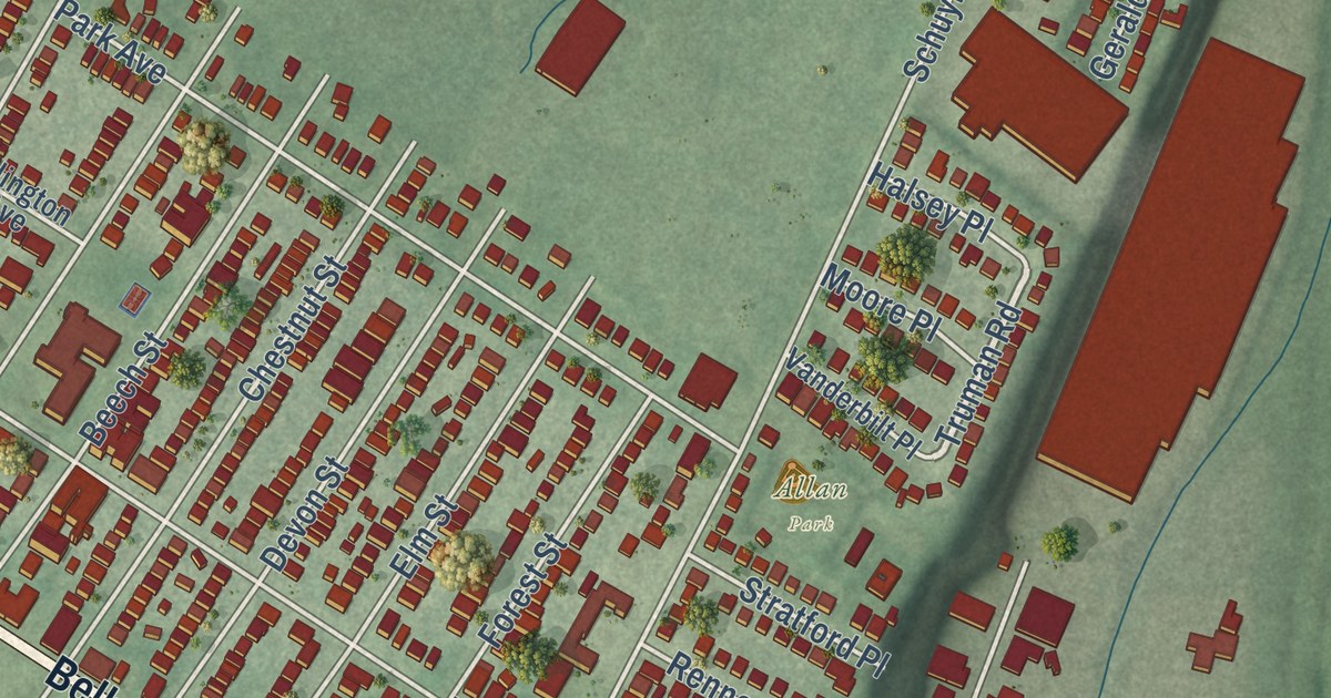
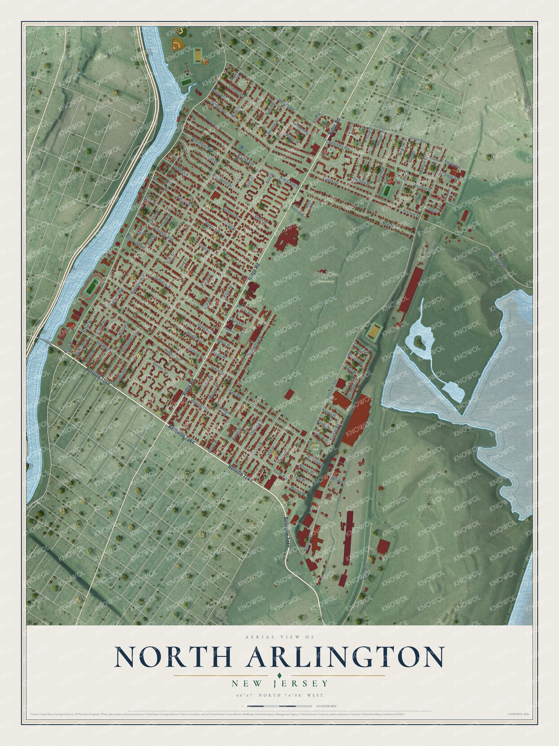
This beautifully detailed map of North Arlington, New Jersey was created in 2026 using aerial imagery combined with modern topographical, census, street and landmark data. It’s a one-of-a-kind view of North Arlington that combines accurate data with a vintage aesthetic. The map shows every building in its true location, many of the roads carry their names, and the shaded topographic relief shows the shape of the land.
Explore an aerial view of North Arlington, New Jersey
On the map you’ll find Holy Cross Cemetery, Riverside County Park South, and Allan Park, along with Belleville Turnpike, Ridge Road, Bellville Turnpike, River Road, Garden Terrace, and more. If you look closely you can even find your house accurately drawn in its correct location. Zoom in on the preview to look for yours.
Did You Know?
The first steam engine in America worked at a North Arlington copper mine. John Schuyler brought it over from England to pump water out of his mine. Hornblower set it up at a cost of about 15,000 dollars. Ruins of the mines remain in the face of a cliff. That’s from the 1939 WPA guide to New Jersey.
Take a closer look at the North Arlington map
Names on this map
These names are printed on this map.
Places: 1-E Landfill, Holy Cross Cemetery and Allan Park.
Streets and roads: Belleville Turnpike, Ridge Road, Bellville Turnpike, River Road, Garden Terrace, Truman Road, Allan Drive, First Street, Schuyler Avenue, Riverview Avenue, Prospect Avenue, Rutherford Place.
More street names, A to Z
Abbott Place, Albert Street, Argyle Place, Arlington Avenue, Arlington Boulevard, Astor Avenue, Avon Place, Baler Boulevard, Baltimore Avenue, Barnard Place, Bathurst Avenue, Bayliss Street, Beaver Avenue, Beech Street, Belmount Avenue, Bergen Avenue, Bernice Road, Biltmore Street, Birchwood Drive, Bogle Avenue, Bond Place, Boston Avenue, Brandenburg Place, Canterbury Avenue, Carrie Road, Cary Avenue, Cedar Street, Chestnut Street, Church Place, Clinton Place, Coupe Place, Crystal Street, Devon Street, Disposal Road, Eagle Street, Eckhardt Terrace, Eighth Street, Elm Street, Ewing Avenue, Exton Avenue, Fairmount Avenue, Fifth Street, Fisher Place, Forest Street, Fourth Street, Franklin Place, Front Street, Geraldine Road, Gold Street, Greco Terrace, Halsey Place, Harding Avenue, Hedden Terrace, Hendel Avenue, High Street, Hillside Place, Hoover Street, Hull Avenue, Ilford Avenue, Inman Place, Jason Way, Jauncey Avenue, Leonard Place, Lincoln Avenue, Locust Avenue, Madison Street, Melrose Avenue, Moore Place, Morgan Place, Morton Place, Newell Place, Ninth Street, Noel Drive, Norwood Terrace, Park Avenue, Pershing Place, Pine Street, Porete Avenue, Pulaski Drive, Renner Place, Ridge Park Drive, Roosevelt Street, Second Street, Seventh Street, Sherman Avenue, Shields Place, Silvia Place, Sixth Street, Stevens Place, Stover Avenue, Stratford Place, Sunset Avenue, Third Street, Union Avenue, Union Place, Vanderbilt Place, Verhoeff Place, Veterans Place, Webster Street, Wesley Place, West Street, William Street, Willis Road, Wilson Place, York Road.
See it on a wall
The North Arlington map as an 18 x 24 inch print in a black frame.

This beautifully detailed map of North Arlington makes an attractive addition to your office, library, or den, and it can even be used to teach children the geography and history of the area. It also makes a great gift for someone who left North Arlington and still calls it home. When you’re done exploring, click here to get your copy of the North Arlington map.