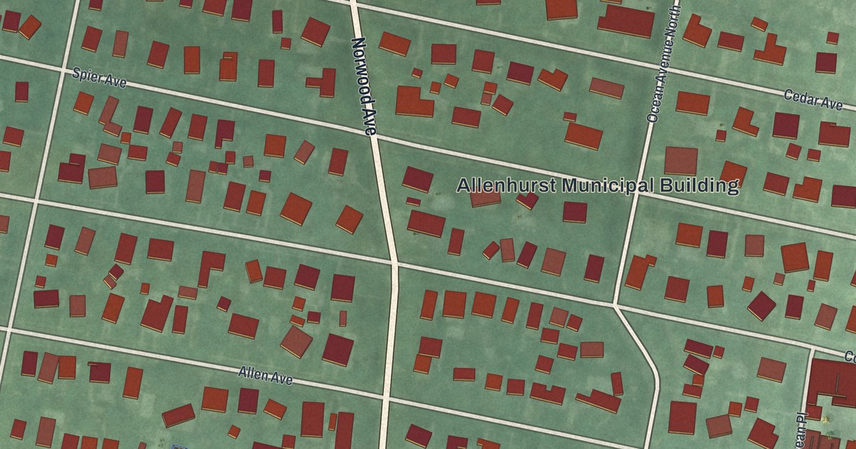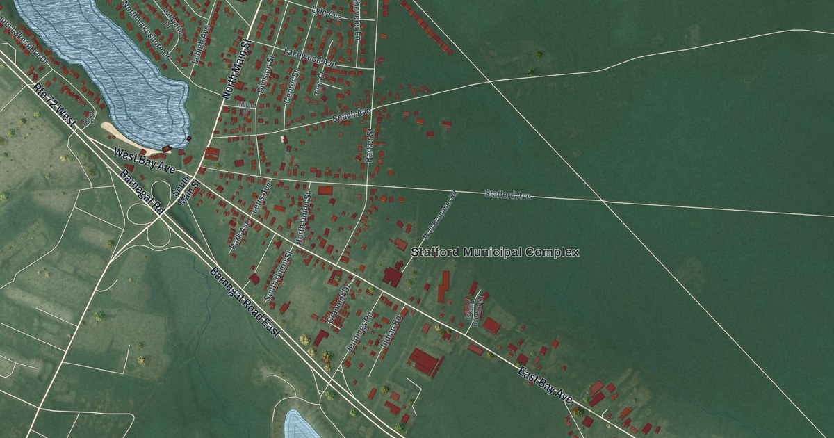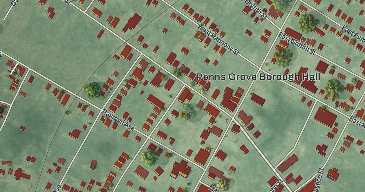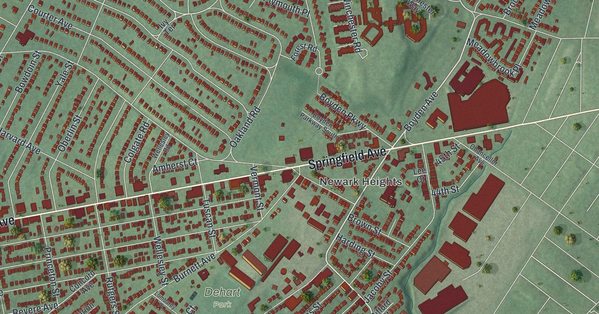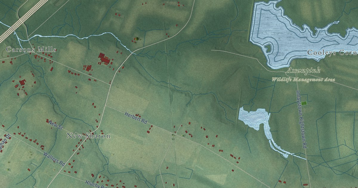
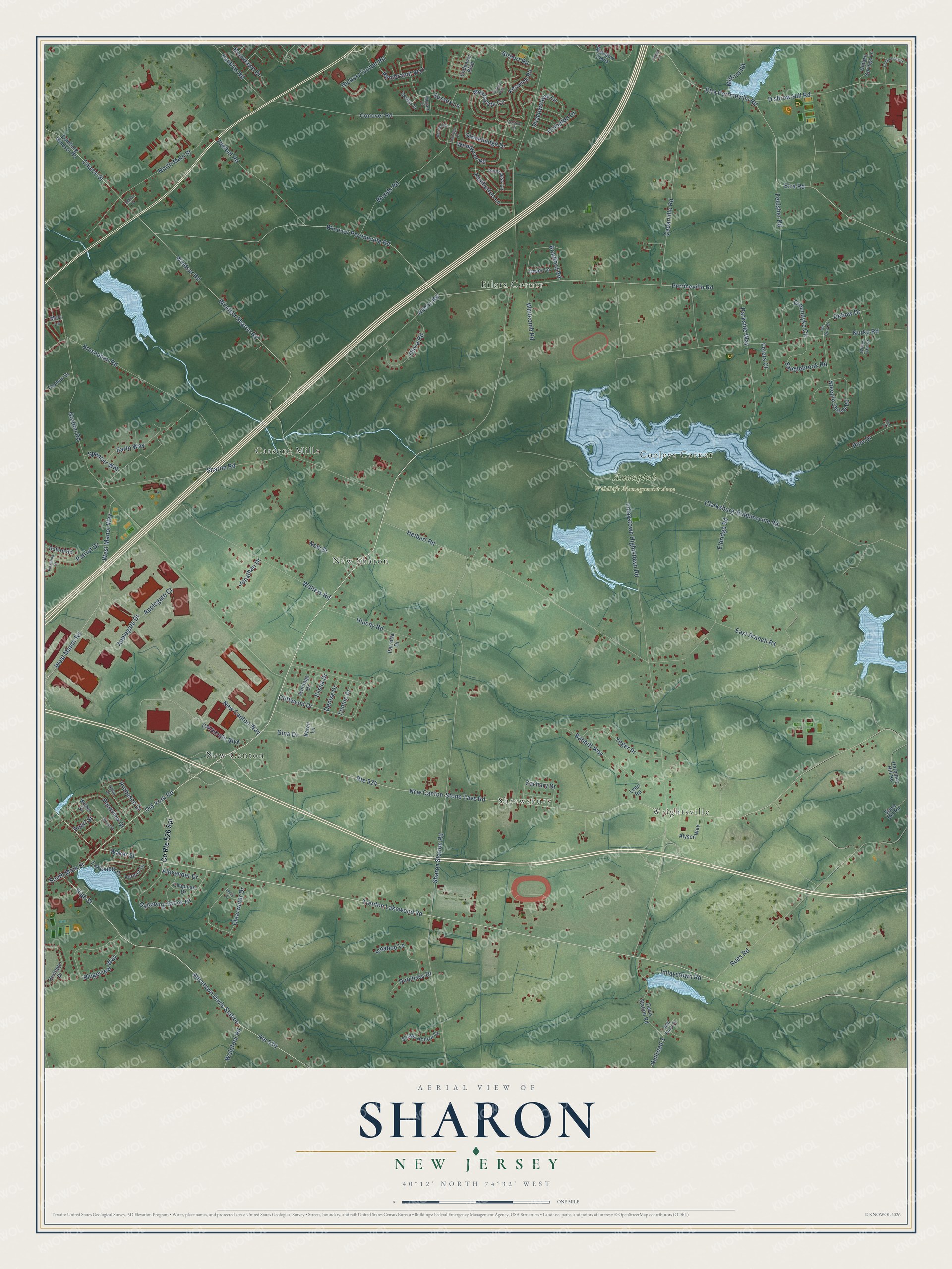
This beautifully detailed map of Sharon, New Jersey was created in 2026 using aerial imagery combined with modern topographical, census, street and landmark data. It’s a one-of-a-kind view of Sharon that combines accurate data with a vintage aesthetic. The map shows every building in its true location, many of the roads carry their names, and the shaded topographic relief shows the shape of the land.
Explore an aerial view of Sharon, New Jersey
On the map you’ll find Assunpink Wildlife Management Area, New Canton, Wrightsville, Carsons Mills, Eilers Corner, Shrewsbury, New Sharon, and Cooleys Corner, along with Old York Road, North Main Street, Church Street, Trenton Lakewood Road, and more. If you look closely you can even find your house accurately drawn in its correct location. Zoom in on the preview to look for yours.
Did You Know?
From Internet Archive: "John Brown established a shoe-factory at Sharon in 1832, and did a more or less extensive business for some time."
Sharon is a community in Monmouth County.
Take a closer look at the Sharon map
Names on this map
These names are printed on this map.
Places: Assunpink Wildlife Management Area, New Canton, Wrightsville, Carsons Mills, Eilers Corner, Shrewsbury, New Sharon and Cooleys Corner.
Streets and roads: Old York Road, North Main Street, Church Street, Trenton Lakewood Road, Waker Street, Allentown Davis Station, Etra Road, Disbrow Hill Road, Debow Drive, Railroad 3, New Canton-Stone Tave Road, Route 524.
More street names, A to Z
Airport Road, Alexander Drive, Allen Drive, Allens Road, Alyson Way, Applegate Court, Applegate Drive, Babbitt Way, Barto Way, Berwick Circle, Bradford Road, Bresnahan Road, Broad Street, Brooklawn Drive, Buford Road, Carriage Court, Cedarville Road, Chapman Drive, Clarksburg-Robbinsville Road, Clearwater Drive, Cliffwood Drive, Compton Drive, Conover Road, Continental Court, Corporate Boulevard, County Route 526 Spr, Davis Station Road, De Bow Drive, Denise Drive, Dover Lane, Dutchess Drive, East Branch Road, Edinburg Windsor Road, Eldridge Road, Elisha Drive, Elm Court, Endeavor Boulevard, Etra Perrineville Road, Farmer Drive, Feldsher Road, Fulham Way, Galloping Brook Drive, Gina Drive, Gordon Road, Groendyke Circle, Hankins Road, Harmony Hill Road, Herbert Road, Heritage Drive, Hickory Corner Road, Hidden Springs Lane, High Street, Hluchy Road, Ichabod Lane, Imlaystown Hightstown Road, Imlaystown Road, Inverness Lane, Jennings Drive, Jonathan Drive, Karen Lane, Keswick Road, Lakeview Drive, Lenn Road, Lonnie Drive, Mary Lane, Meadow Lakes, Milford Road, Mill Pond Drive, Moorsgate Circle, Mozart Court, New Canton Way, New Street, Nurko Road, Olivia Road, Parkside Way, Parrotta Drive, Pasteur Court, Patriot Drive, Pearl Street, Pemberton Lane, Perrineville Road, Peters Court, Philip Court, Philyet Drive, Pickering Drive, Pine Drive, Pondview Drive, Probasco Drive, Rembrandt Way, Ridgeview Way, Route 539, Rues Road, Saddlebrook Road, School Drive, Shadowstone Lane, Sharon Road, Sharon Station Road, Sleepy Hollow Court, Sousa Court, South Main Street, Spencer Way, Steeple Chase Road, Stonehedge Drive, Stone Hill Road, Sussex Lane, Thomas Drive, Voelbel Road, Walnford Road, Walters Road, Wendover Road, West Manor Road, West Manor Way, Whitcomb Road, Wilbur Drive, Willow Tree Drive, Windsor Perrineville Road, Windsor Road, Windsor Sharon Road, Woods Road, Yeger Drive, Zachary Drive.
See it on a wall
The Sharon map as a framed print. Swipe for more.


This beautifully detailed map of Sharon makes an attractive addition to your office, library, or den, and it can even be used to teach children the geography and history of the area. It also makes a great gift for anyone with Sharon roots. When you’re done exploring, click here to get your copy of the Sharon map.