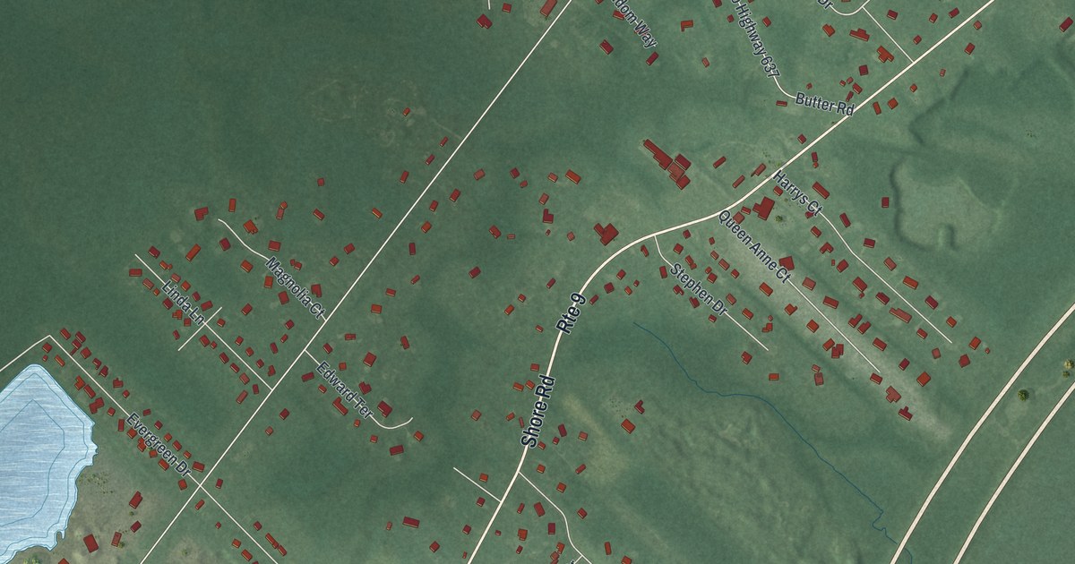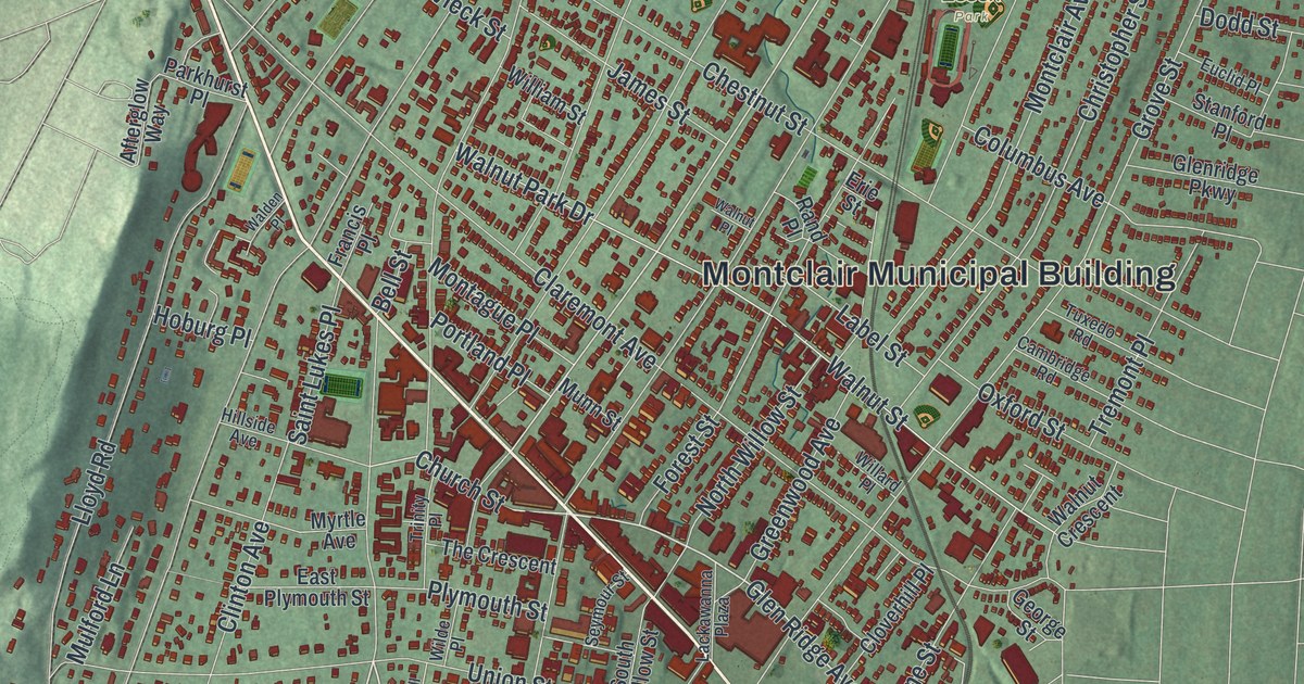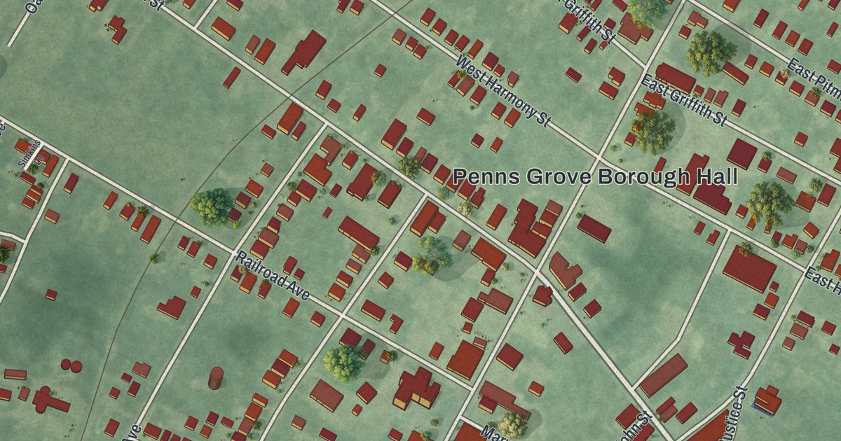
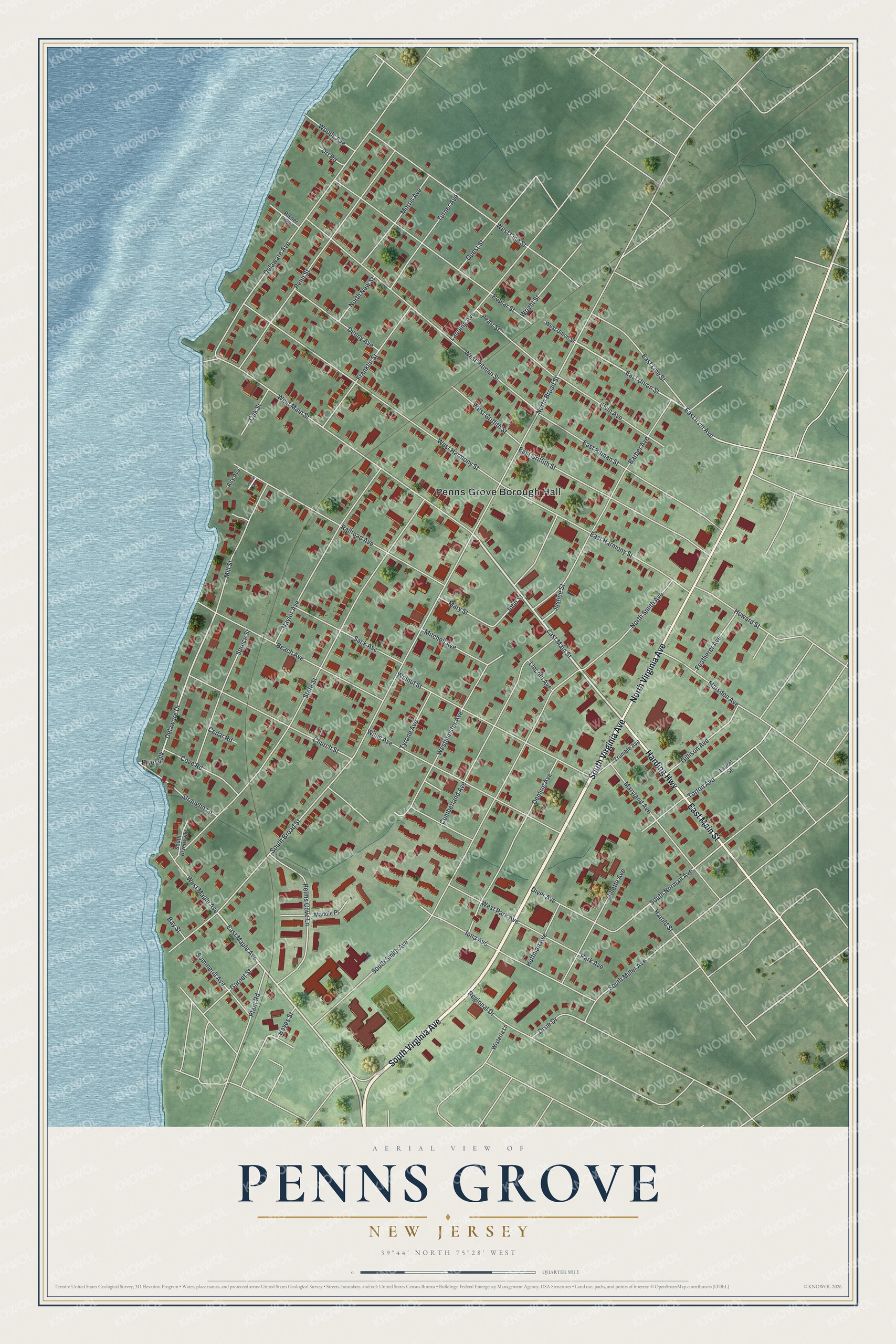
This beautifully detailed map of Penns Grove, New Jersey was created in 2026 using aerial imagery combined with modern topographical, census, street and landmark data. It’s a one-of-a-kind view of Penns Grove that combines accurate data with a vintage aesthetic. The map shows every building in its true location, many of the roads carry their names, and the shaded topographic relief shows the shape of the land.
Explore an aerial view of Penns Grove, New Jersey
On the map you’ll find Penns Grove Borough Hall, along with Virginia Avenue, Main Street, Harding Highway, Maple Avenue, and more. If you look closely you can even find your house accurately drawn in its correct location. Zoom in on the preview to look for yours.
Did You Know?
Penns Grove takes its name from William Penn. In the early 1900s, many Italians from the village of Valle San Giovanni moved here for jobs at the DuPont plant in nearby Carneys Point. In 1925 they had a copy of a Madonna and Child statue from a church in Teramo placed in Saint James Catholic Church.
Take a closer look at the Penns Grove map
Names on this map
These names are printed on this map.
Places: Penns Grove Borough Hall.
Streets and roads: South Virginia Avenue, North Virginia Avenue, East Main Street, Harding Highway, West Maple Avenue, East Irvin Avenue, East Maple Avenue, Delaware Drive, Riverwalk, South Norman Avenue, East Union Street, South Broad Street.
More street names, A to Z
Airy Avenue, Barber Avenue, Bay Street, Beach Avenue, Cedar Road, Church Street, Cove Road, Cumberland Avenue, Delaware Avenue, Deming Avenue, Denny Avenue, Diver Avenue, Dixie Drive, Drt Road, East Griffith Street, East Harmony Street, East Line Street, East Pitman Street, Elvin Avenue, Featherer Avenue, Franklin Street, Garnet Street, Gillette Avenue, Gillison Avenue, Guest Street, Harold Street, Hayes Street, Helms Cove Lane, Howard Street, Huffman Avenue, Iona Avenue, John Street, Justice Street, Lanning Avenue, Laurel Street, Lincoln Avenue, Madole Place, Marsden Avenue, Maryland Avenue, Mary Street, Mill Street, Mitchell Avenue, Morris Avenue, Naylor Avenue, North Broad Street, North New Street, North Smith Avenue, Oak Street, Park Avenue, Pearl Street, Penn Street, Plant Road, Poplar Street, Railroad Avenue, Regional Drive, Risner Avenue, Sack Avenue, Simkins Lane, South Miller Avenue, South Riverwalk, South Smith Avenue, Spruce Street, State Street, Straughn Lane, Summerill Avenue, Torton Avenue, Trumble Avenue, Turner Avenue, Tyrone Avenue, Walnut Street, West Griffith Street, West Harmony Street, West Line Street, West Main Street, Westminster Avenue, West Park Avenue, West Pitman Street, West Union Street, Willis Avenue, Wisteria Lane, Woods Avenue, Wright Street.
See it on a wall
The Penns Grove map as an 18 x 24 inch print in a black frame.

This beautifully detailed map of Penns Grove makes an attractive addition to your office, library, or den, and it can even be used to teach children the geography and history of the area. It also makes a great gift for anyone with Penns Grove roots. When you’re done exploring, click here to get your copy of the Penns Grove map.