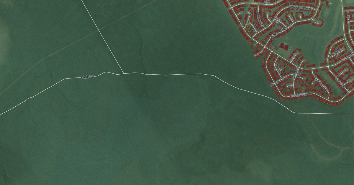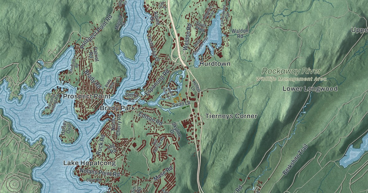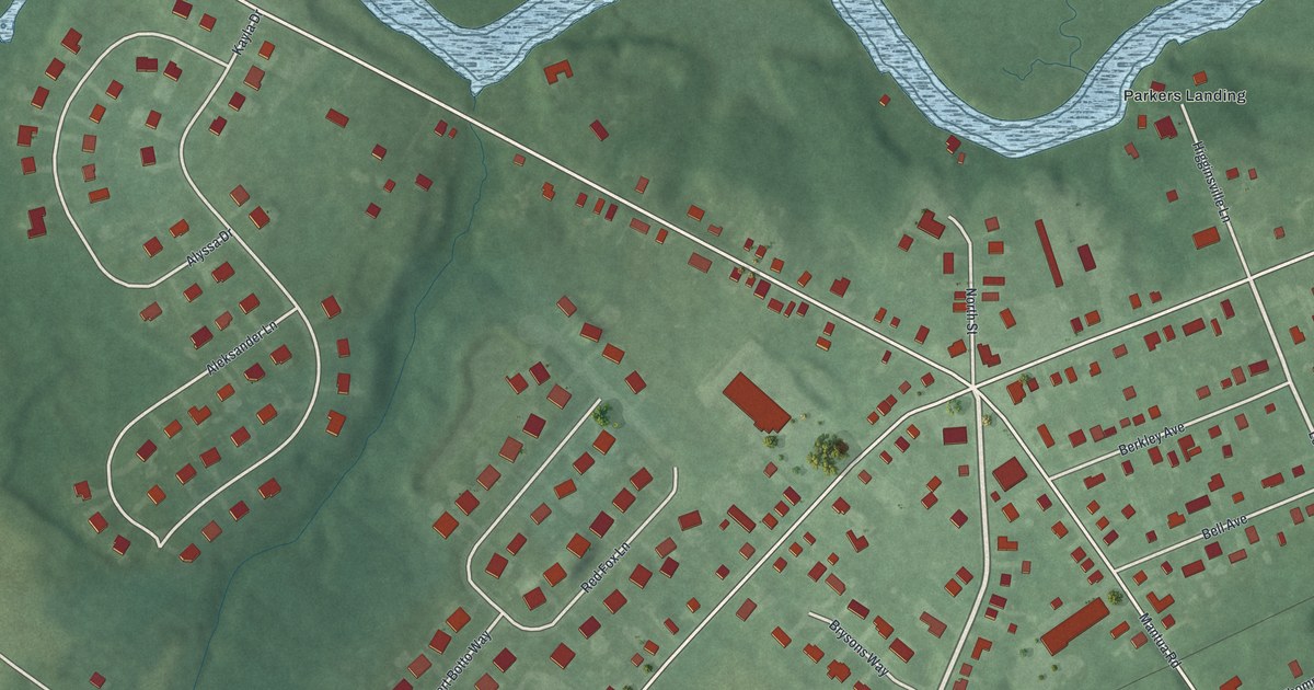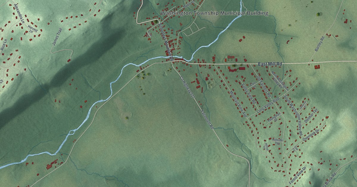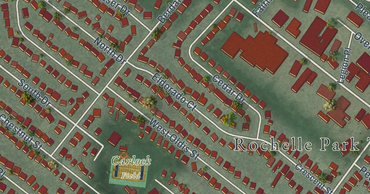
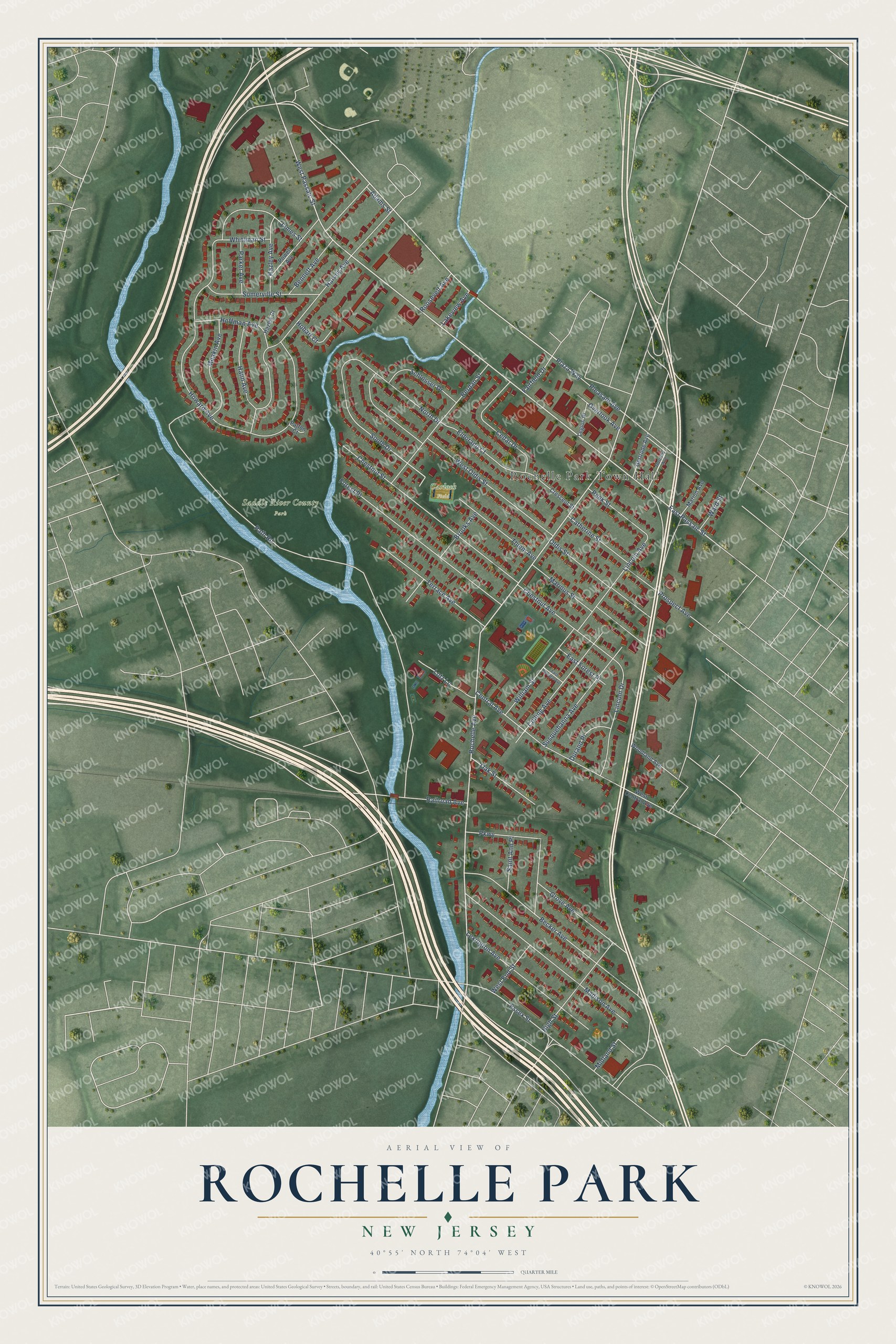
This beautifully detailed map of Rochelle Park, New Jersey was created in 2026 using aerial imagery combined with modern topographical, census, street and landmark data. It’s a one-of-a-kind view of Rochelle Park that combines accurate data with a vintage aesthetic. The map shows every building in its true location, many of the roads carry their names, and the shaded topographic relief shows the shape of the land.
Explore an aerial view of Rochelle Park, New Jersey
On the map you’ll find Rochelle Park Town Hall and Saddle River County Park, along with Passaic Street, Rochelle Avenue, Plaza Way, Dorothy Avenue, and more. If you look closely you can even find your house accurately drawn in its correct location. Zoom in on the preview to look for yours.
Did You Know?
Rochelle Park was first called Midland Township, formed in 1871. People kept mixing it up with nearby Midland Park. On November 5, 1929, voters approved a new name by 503 to 69. The township was named for La Rochelle, the port city in France.
Take a closer look at the Rochelle Park map
Names on this map
These names are printed on this map.
Places: Rochelle Park Town Hall, Saddle River County Park and Carlock Field.
Streets and roads: West Passaic Street, Rochelle Avenue, Plaza Way, East Passaic Street, Thiem Avenue, South Drive, Path Road, Howard Avenue, Harvey Avenue, West Oldis Street, Chestnut Street, Becker Avenue.
More street names, A to Z
Adams Street, Bennett Avenue, Berdan Street, Brooks Avenue, Catherine Street, Cedar Drive, Central Avenue, Chestnut Avenue, Colling Avenue, Crescent Street, Dorothy Avenue, Durand Place, East Forest Place, East Terrace Avenue, Eldorado Court, Essex Street, Fairfield Drive, Forest Place, Gertrude Avenue, Grove Avenue, Hahn Avenue, Hazley Avenue, Hazley Court, High Street, Hobart Court, Hoffman Avenue, James Street, Lakeview Avenue, Legion Place, Lexington Avenue, Lincoln Avenue, Lincoln Drive, Lotz Lane, Madison Avenue, Marinus Street, Marion Avenue, Meakin Avenue, Midland Street, North Drive, Oak Street, Oldis Street, Overlook Avenue, Parker Avenue, Parkway, Patton Court, Peek Street, Pleasant Avenue, Powell Avenue, Prospect Avenue, Railroad Avenue, Roosevelt Avenue, Saint Ann Place, Schlosser Drive, Somerville Street, Susquehanna Avenue, Terrace Avenue, Ward Street, West Central Avenue, West End Street, Whittman Street, William Street, Woodland Avenue.
See it on a wall
The Rochelle Park map as an 18 x 24 inch print in a black frame.

This beautifully detailed map of Rochelle Park makes an attractive addition to your office, library, or den, and it can even be used to teach children the geography and history of the area. It also makes a great gift for anyone with Rochelle Park roots. When you’re done exploring, click here to get your copy of the Rochelle Park map.