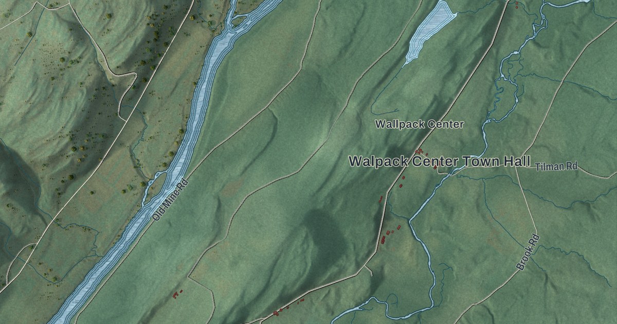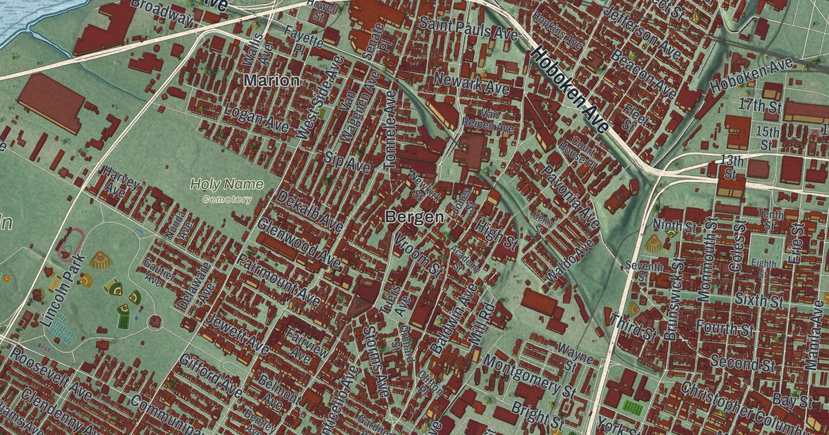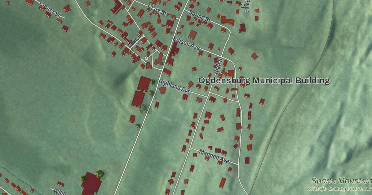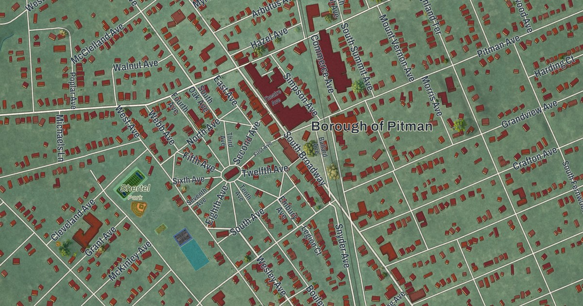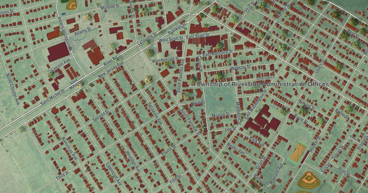
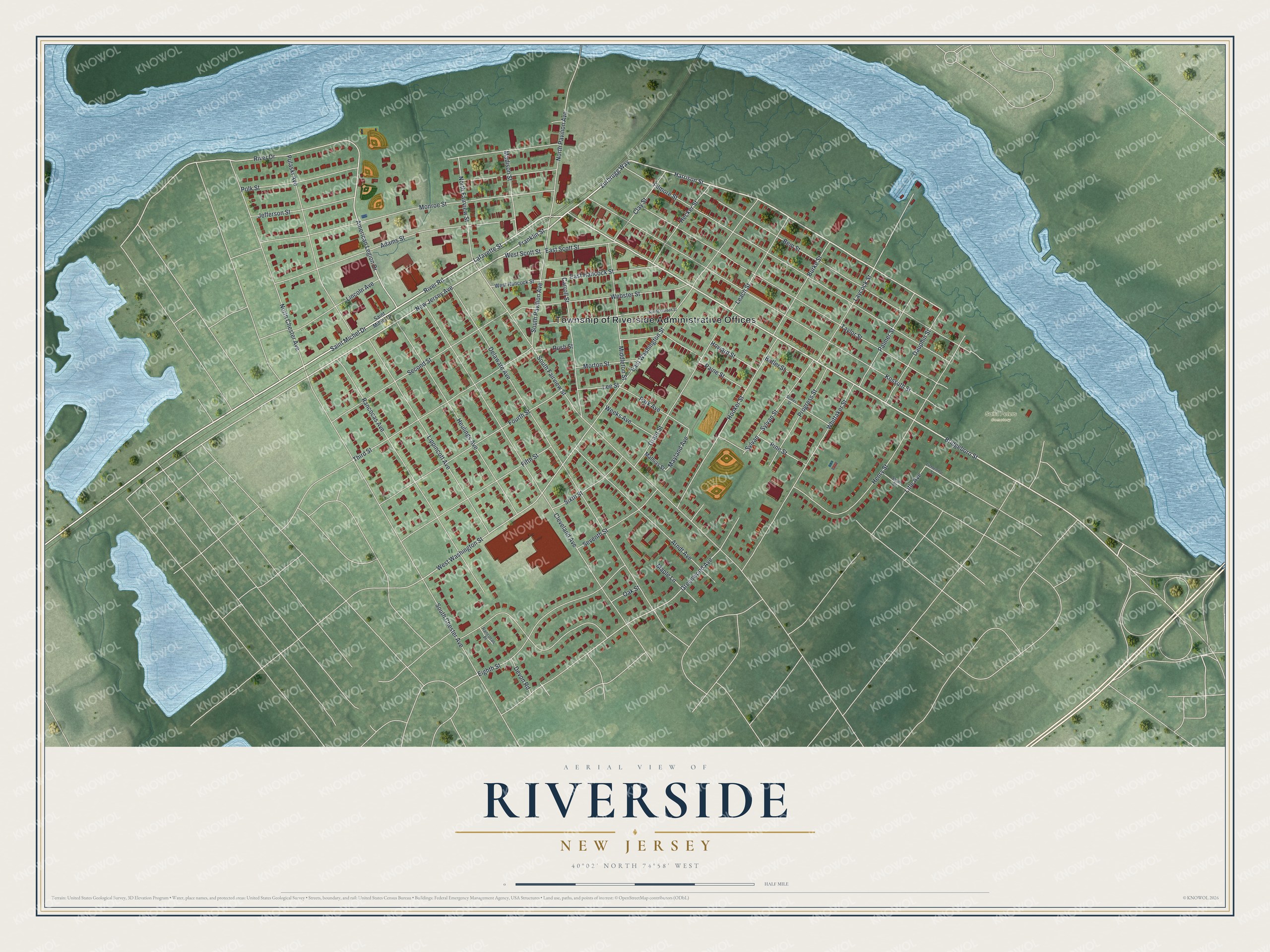
This beautifully detailed map of Riverside, New Jersey was created in 2026 using aerial imagery combined with modern topographical, census, street and landmark data. It’s a one-of-a-kind view of Riverside that combines accurate data with a vintage aesthetic. The map shows every building in its true location, many of the roads carry their names, and the shaded topographic relief shows the shape of the land.
Explore an aerial view of Riverside, New Jersey
On the map you’ll find Township of Riverside Administrative Offices and Saint Peters Cemetery, along with Bridgeboro Street, Harrison Street, Zurbrugg Way, Saint Michel Drive, and more. If you look closely you can even find your house accurately drawn in its correct location. Zoom in on the preview to look for yours.
Did You Know?
Riverside first carried the name Progress. Its name was later changed to Riverside because it sits on the Delaware River. The state legislature made it a township on February 20, 1895, from parts of Delran Township.
Take a closer look at the Riverside map
Names on this map
These names are printed on this map.
Places: Township of Riverside Administrative Offices and Saint Peters Cemetery.
Streets and roads: Bridgeboro Street, Harrison Street, Zurbrugg Way, Saint Michel Drive, River Road, Lafayette Street, Franklin Street, New Jersey Avenue, American Legion Drive, River Drive, Greenwood Avenue, West Washington Street.
More street names, A to Z
Adams Street, Arndt Avenue, Bem Street, Burke Street, Butler Street, Carroll Street, Clay Street, Cleveland Avenue, Dauphin Street, Delaware Avenue, Devon Road, East Hancock Street, East Scott Street, East Washington Street, Eighth Street, Fifth Street, Filmore Street, Fourth Street, Grant Street, Hecker Street, Henry Street, Heulings Avenue, Hooker Street, Howard Street, Jefferson Street, Kossuth Street, Laycock Street, Leach Street, Lee Street, Lichtenthal Street, Lincoln Avenue, Lippincott Avenue, Litle Avenue, Madison Street, Maple Lane, Mathias Street, Mayland Avenue, Middleton Street, Monroe Street, Morton Street, North Chester Avenue, North Fairview Street, North Pavilion Avenue, Oak Street, Paine Street, Palmer Street, Park Avenue, Pine Street, Polk Street, Progress Street, Pulaski Avenue, Rancocas Avenue, Rancocas Place, Rush Street, Saint Mihiel Drive, Second Street, Seventh Street, Sixth Street, Smith Street, South Chester Avenue, South Fairview Street, South Pavilion Avenue, Spring Garden Street, Stokes Street, Sylvan, Sylvan Street, Taylor Street, Third Street, Webster Street, Weeks Avenue, West Hancock Street, West Scott Street, Whittaker Street.
See it on a wall
The Riverside map as an 18 x 24 inch print in a black frame.

This beautifully detailed map of Riverside makes an attractive addition to your office, library, or den, and it can even be used to teach children the geography and history of the area. It also makes a great gift for someone who left Riverside and still calls it home. When you’re done exploring, click here to get your copy of the Riverside map.