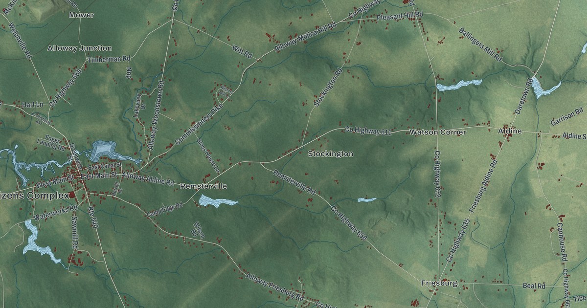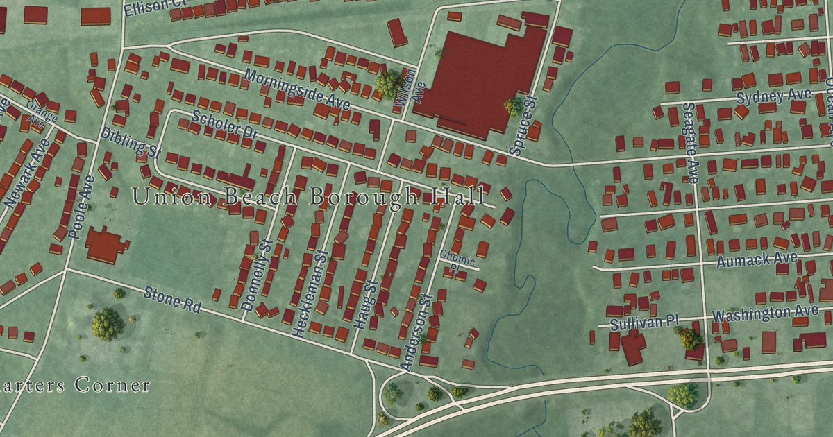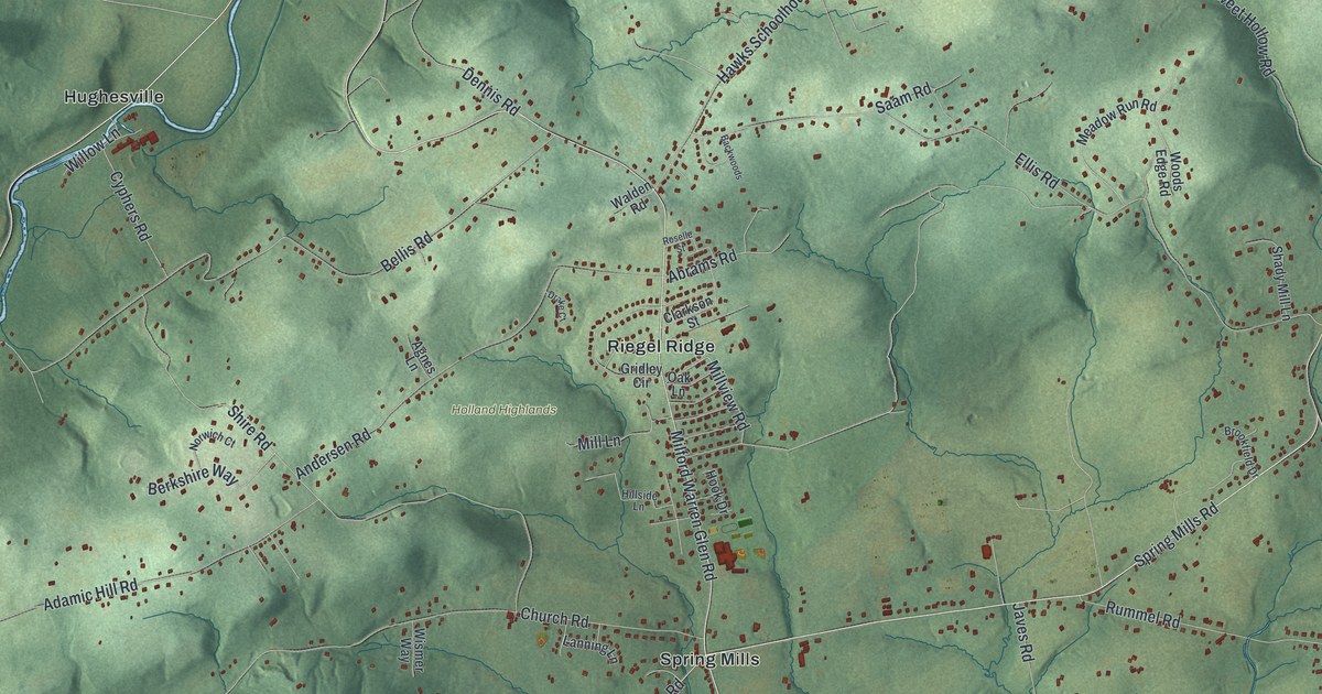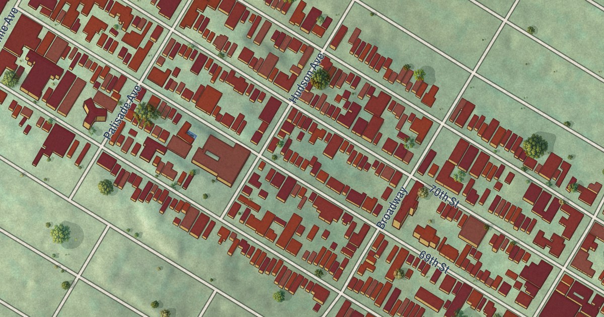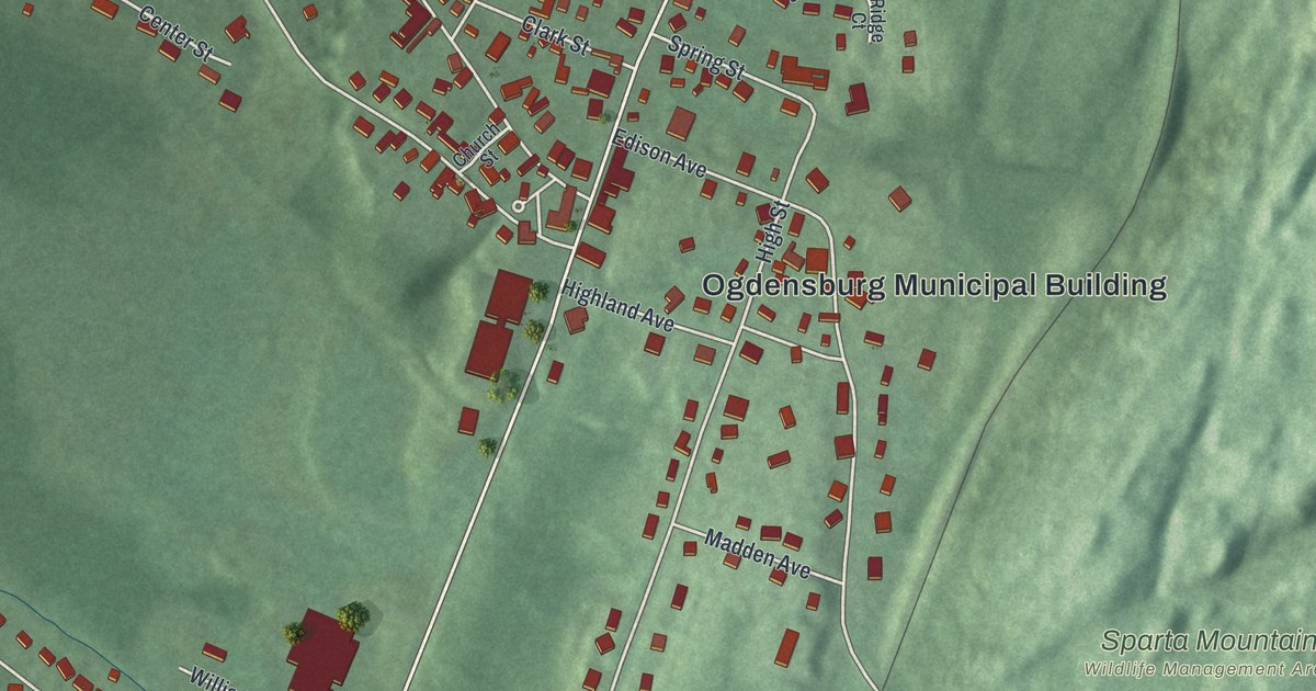
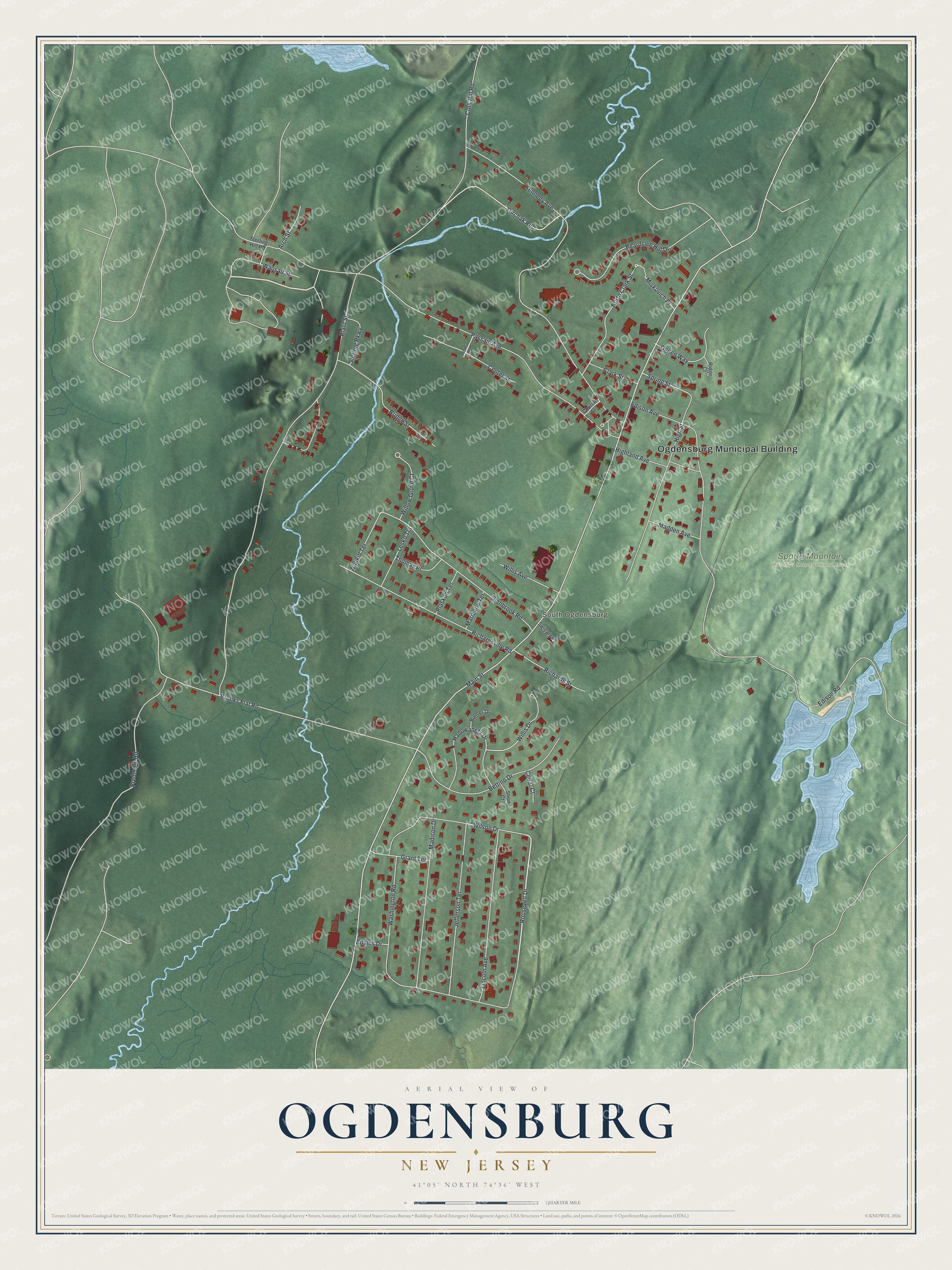
This beautifully detailed map of Ogdensburg, New Jersey was created in 2026 using aerial imagery combined with modern topographical, census, street and landmark data. It’s a one-of-a-kind view of Ogdensburg that combines accurate data with a vintage aesthetic. The map shows every building in its true location, many of the roads carry their names, and the shaded topographic relief shows the shape of the land.
Explore an aerial view of Ogdensburg, New Jersey
On the map you’ll find Ogdensburg Municipal Building, South Ogdensburg, and Sparta Mountain Wildlife Management Area, along with Roosevelt Drive, Main Street, Plant Street, Passaic Avenue, and more. If you look closely you can even find your house accurately drawn in its correct location. Zoom in on the preview to look for yours.
Did You Know?
Ogdensburg is named for Robert Ogden, its first settler. The borough broke away from Sparta Township in 1914, after a state act and a local vote that spring. Its Sterling Hill Mining Museum joined the National Register of Historic Places in 1991.
Take a closer look at the Ogdensburg map
Names on this map
These names are printed on this map.
Places: Ogdensburg Municipal Building, South Ogdensburg and Sparta Mountain Wildlife Management Area.
Streets and roads: Roosevelt Drive, Main Street, Plant Street, Passaic Avenue, Kennedy Avenue, Edison Road, Brooks Flat Road, Cork Hill Road, Adams Drive, Glenbrook Road, Richardsville Road, Bettino Drive.
More street names, A to Z
Arch Street, Beardslee Hill Drive, Bridge Street, Bulmer Drive, Cedar Court, Center Street, Church Street, Clark Street, Edison Avenue, Grant Terrace, Hadowanetz Drive, Highland Avenue, High Street, Jefferson Terrace, Lesko Terrace, Lincoln Avenue, Madden Avenue, Madison Drive, Marianne Terrace, Meadow Road, Miskovich Place, North Clark Street, Ogden Way, Plaskon Terrace, Predmore Road, Richards Street, Ridge Court, Short Court, Spring Street, Sterling Hill Road, Sterling Parkway, Swicarz Place, Thomas Place, Wallkill Terrace, Washington Road, Wausau Street, Willis Avenue, Willis Drive, Willow Grove Court, Wilson Drive, Yurchak Road.
See it on a wall
The Ogdensburg map as an 18 x 24 inch print in a black frame.

This beautifully detailed map of Ogdensburg makes an attractive addition to your office, library, or den, and it can even be used to teach children the geography and history of the area. It also makes a great gift for anyone who grew up in Ogdensburg or moved away. When you’re done exploring, click here to get your copy of the Ogdensburg map.