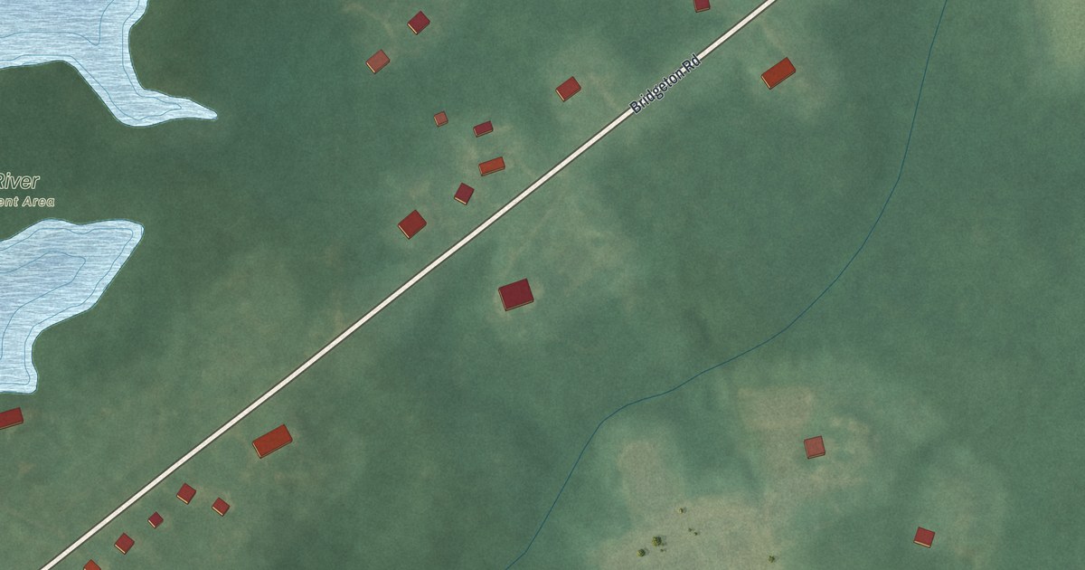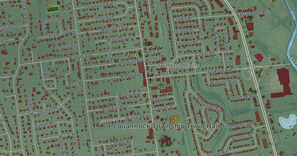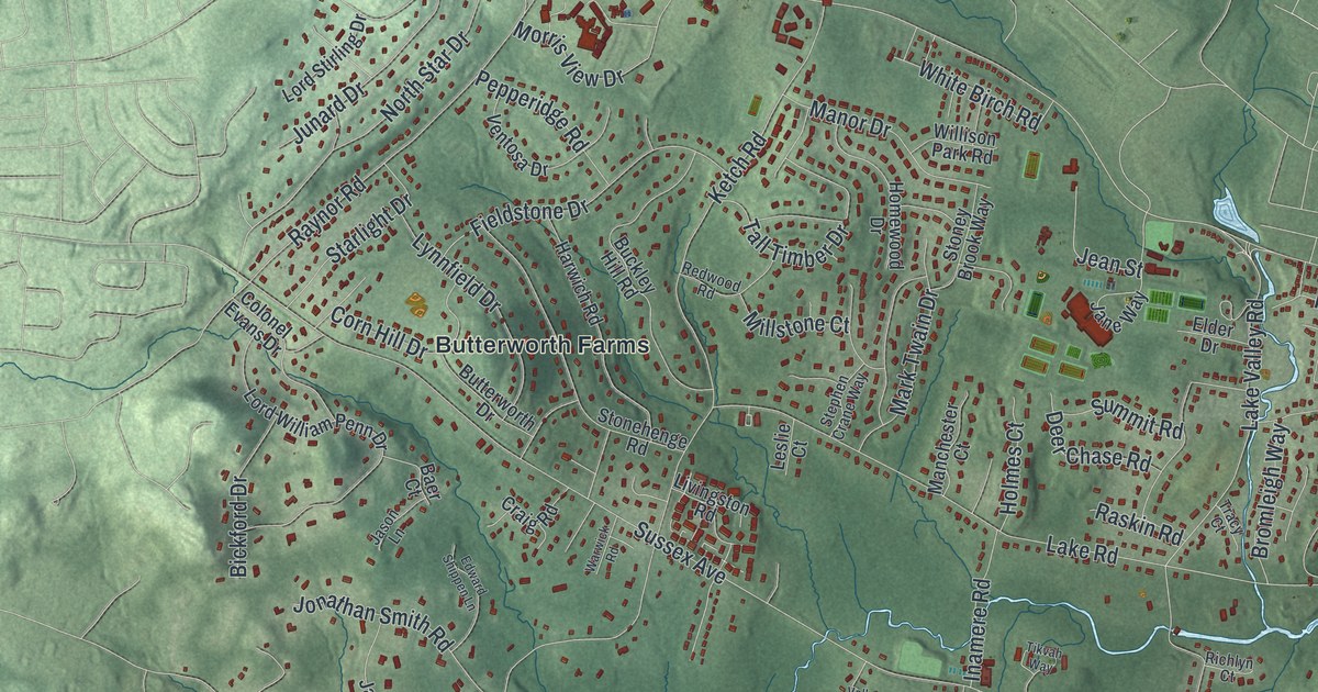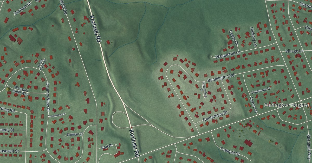
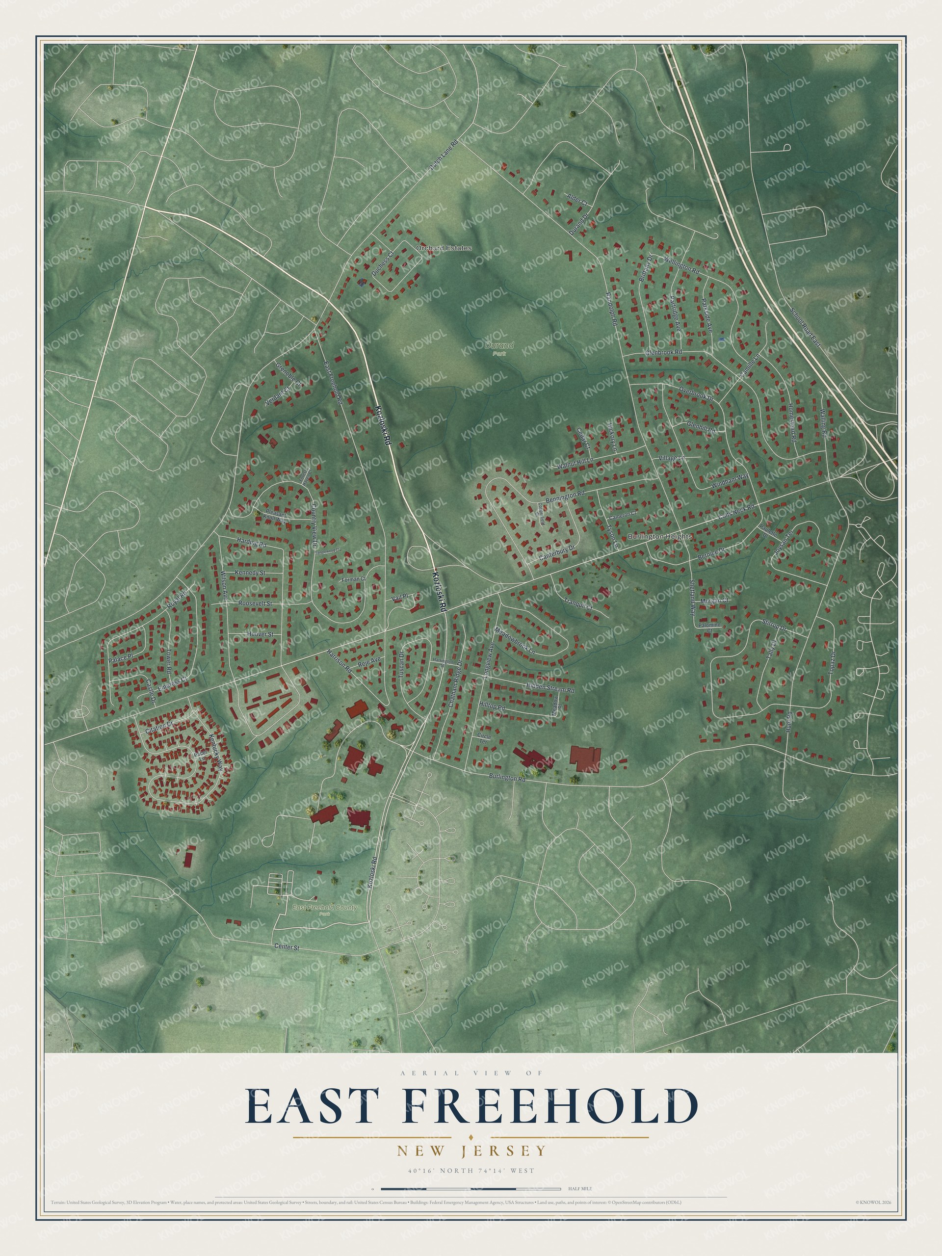
This beautifully detailed map of East Freehold, New Jersey was created in 2026 using aerial imagery combined with modern topographical, census, street and landmark data. It's a modern aerial view of East Freehold in Monmouth County, New Jersey, that combines modern data with a vintage aesthetic. The roads feature printed names, and if you look closely you can find your exact house accurately shown in its correct location.
Explore an aerial view of East Freehold, New Jersey
On this map you'll find Orchard Estates, Burlington Heights, Durand Park, East Freehold County Park, Kozloski Road, Hunt Road, Kentucky Way, Burlington Road, Harding Road, Dutch Lane Road, Colts Neck Road, Randolph Road, and more. Each red shape is a building, so zoom in on the preview and look for yours.
East Freehold is a community in Monmouth County. The Census Bureau counted 4,987 people here in 2020. The map prints the town name in its title panel, with the coordinates below it.
Take a closer look at the East Freehold map
Names on this map
These names are printed on this map.
Places: Orchard Estates, Burlington Heights, Durand Park and East Freehold County Park.
Streets and roads: Kozloski Road, Hunt Road, Kentucky Way, Burlington Road, Harding Road, Dutch Lane Road, Colts Neck Road, Randolph Road, East Freehold Road, Country View Drive, Center Street, Bennington Road.
More street names, A to Z
Alder Court, Bernice Drive, Brittany Drive, Cameron Court, Camille Lane, Canterbury Drive, Castle Drive, Cedar Court, Chatham Ridge Drive, Circle Terrace, Citation Drive, Copperfield Court, Duchess Court, Durand Drive, Empress Court, Forest Haven Court, Forman Court, Glenbrook Road, Glenhill Road, Grenoble Court, Harrington Street, Harrison Road, Hickory Lane, Hidden Stream Road, Hilltop Road, Homestead Road, Hoover Street, Joysan Terrace, Kennedy Street, Longview Avenue, Meadowbrook Lane, Meadow Place, Morgan Court, Overbrook Drive, Pacer Lane, Palace Place, Palomino Court, Parkside Avenue, Partridge Avenue, Paulette Drive, Pleasant Knoll Way, Reje Avenue, Roosevelt Street, Royal Road, School Road East, Shetland Way, Stirrup Drive, Tally Drive, Tanglewood Court, Topaz Drive, Tower Road, Tranquil Court, Tuscan Drive, Tyson Lane, Vail Place, Verdant Court, Village Lane, Walling Road, Walnut Hill Lane, Wellington Road, Wilson Avenue, Windham Way.
See it on a wall
The East Freehold map as a framed print. Swipe for more.


Created by KNOWOL in 2026. The buildings are small red shapes, the roads carry their printed names, and shaded relief shows the shape of the land. The title panel reads "AERIAL VIEW OF EAST FREEHOLD, NEW JERSEY" with 40°16' NORTH 74°14' WEST.
Hang it in the hallway, the office or the cabin, or give it to someone who left East Freehold and still calls it home. Open the preview and look for a street you know. See sizes and frames for the East Freehold map.