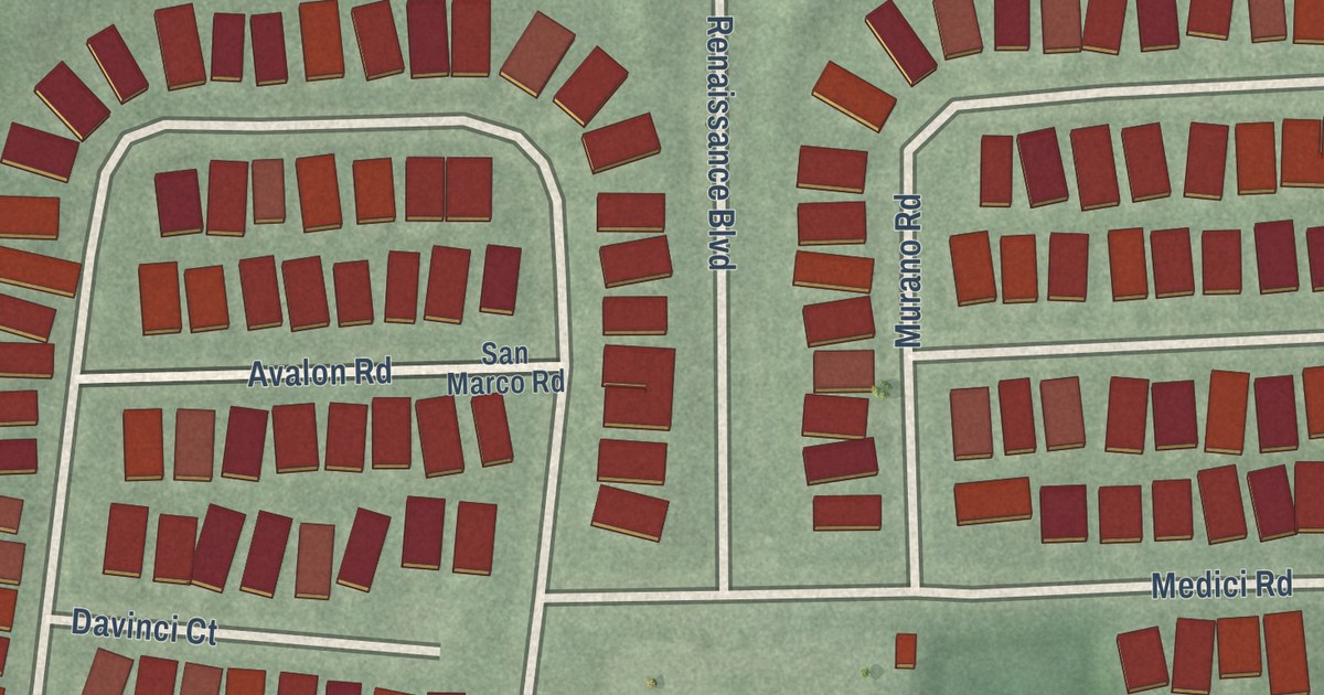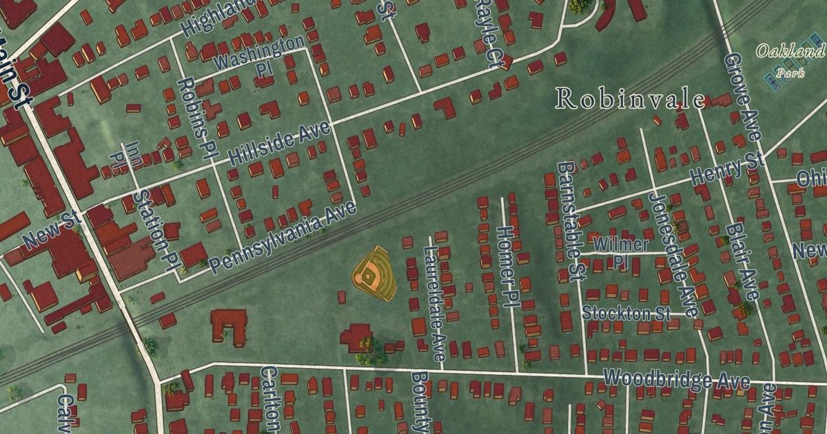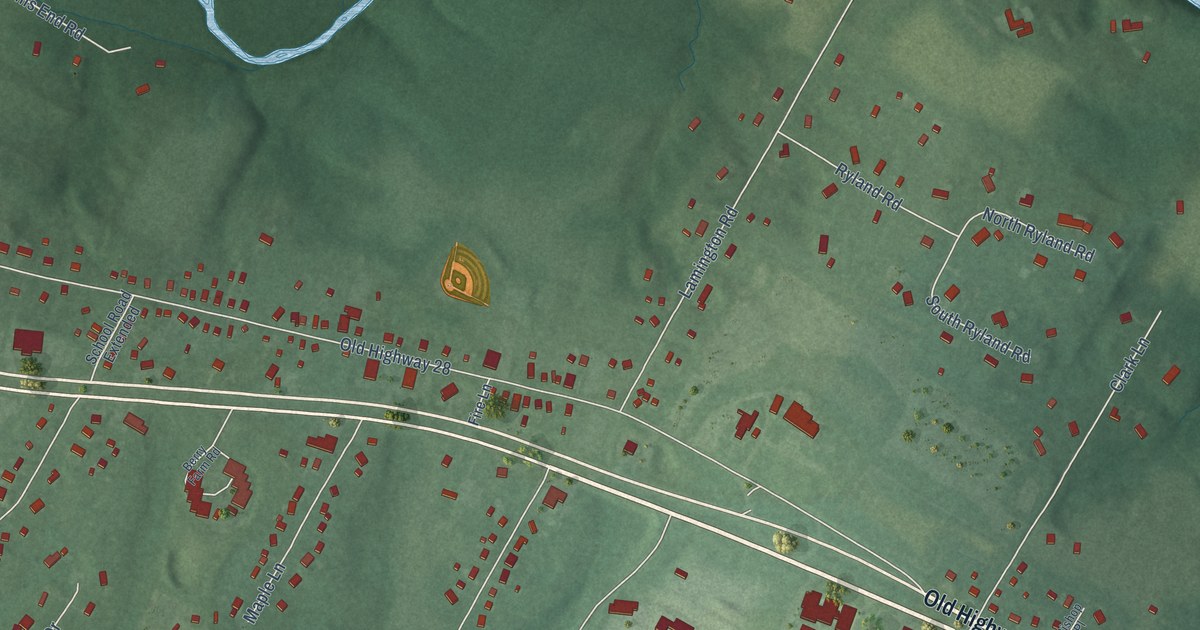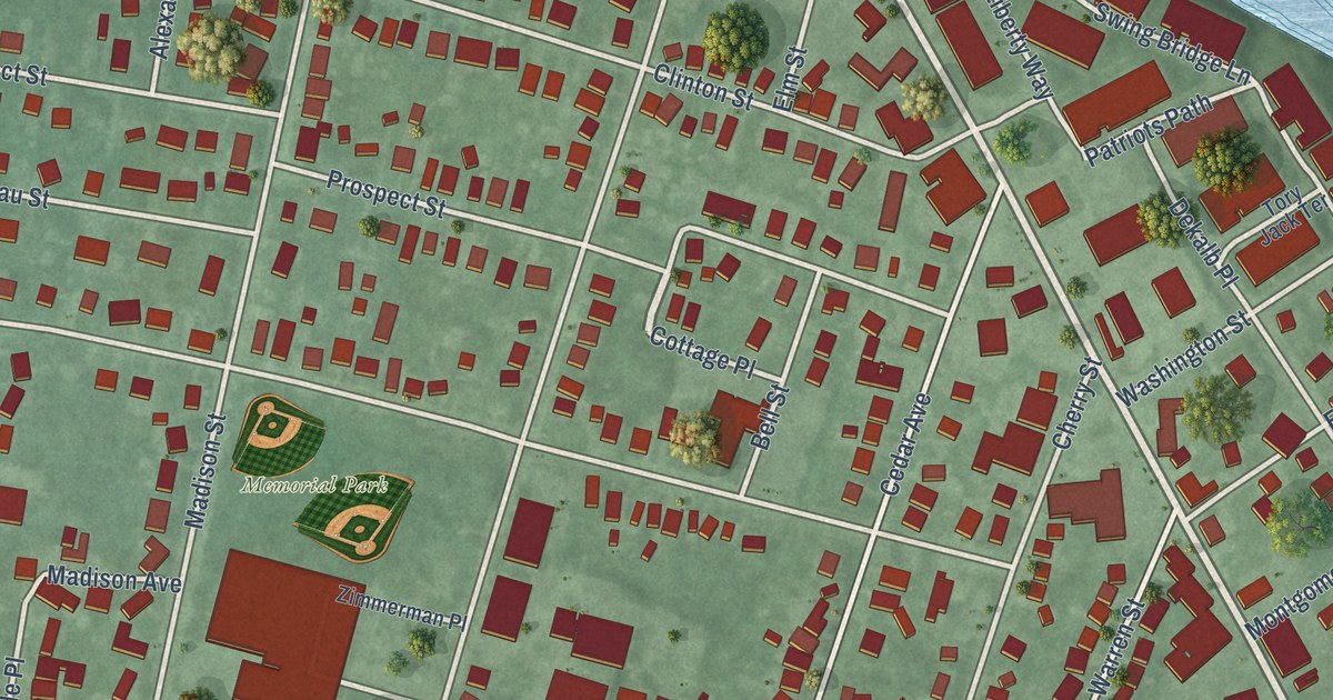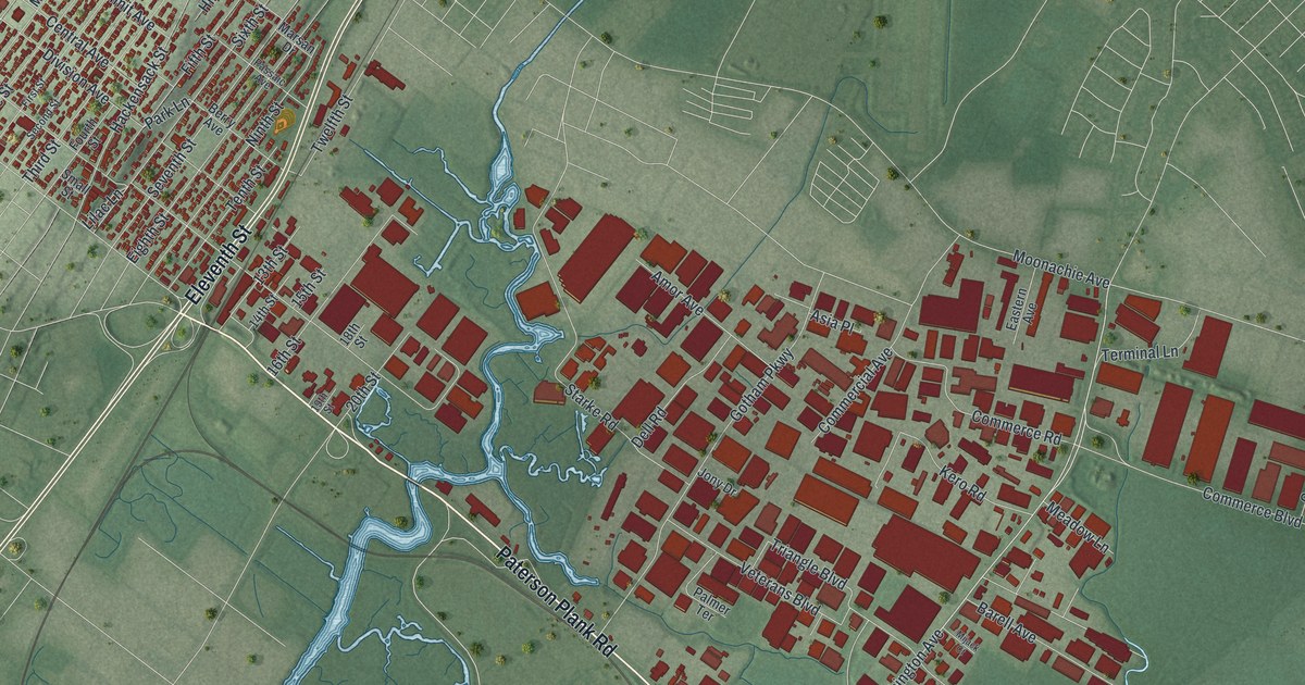
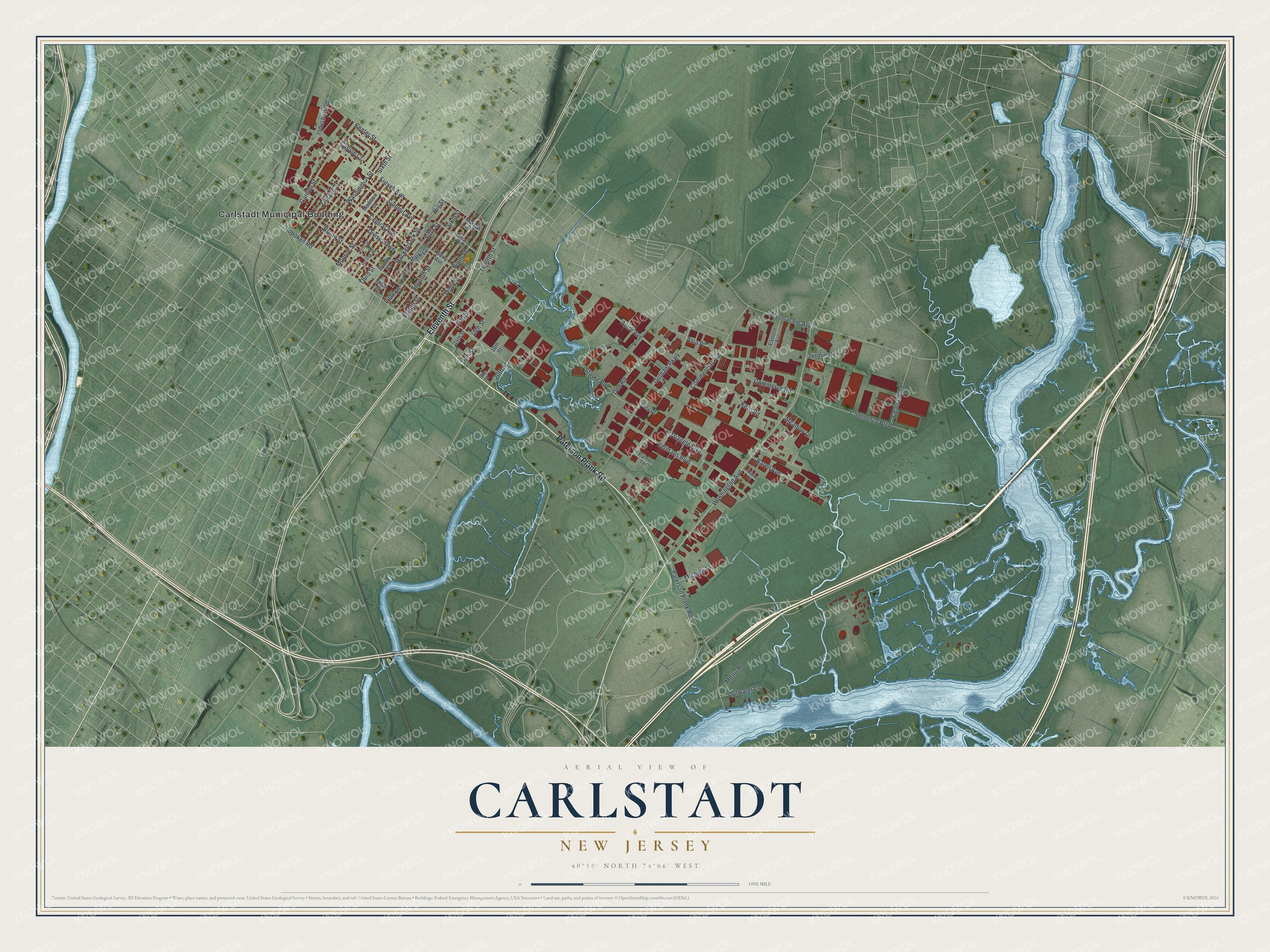
This beautifully detailed map of Carlstadt, New Jersey was created in 2026 using aerial imagery combined with modern topographical, census, street and landmark data. It’s a one-of-a-kind view of Carlstadt that combines accurate data with a vintage aesthetic. The map shows every building in its true location, many of the roads carry their names, and the shaded topographic relief shows the shape of the land.
Explore an aerial view of Carlstadt, New Jersey
On the map you’ll find Carlstadt Municipal Building, along with Paterson Plank Road, Eleventh Street, Washington Avenue, Fritsch Avenue, Seventh Street, Third Street, Broad Street, Division Avenue, Hoboken Road, Gotham Parkway, Starke Road, and more. If you look closely you can even find your house accurately drawn in its correct location. Zoom in on the preview to look for yours.
Did You Know?
Carlstadt began as a community of early German settlers. Their leader, Carl Klein, led the effort to establish it. The state legislature made it a village on March 12, 1860, inside Lodi Township. It became a borough in 1894, one of 26 boroughs formed in Bergen County that year.
Take a closer look at the Carlstadt map
Names on this map
These names are printed on this map.
Places: Carlstadt Municipal Building.
Streets and roads: Paterson Plank Road, Eleventh Street, Washington Avenue, Fritsch Avenue, Seventh Street, Third Street, Broad Street, Division Avenue, Hoboken Road, Gotham Parkway, Starke Road, Sixth Street.
More street names, A to Z
13th Street, 14th Street, 15th Street, 16th Street, 18th Street, 19th Street, 20th Street, Amor Avenue, Asia Place, Barell Avenue, Berry Avenue, Carlyle Court, Center Street, Central Avenue, Central Boulevard, Commerce Boulevard, Commerce Road, Commercial Avenue, Dell Road, Eastern Avenue, Eighth Street, Fifth Street, First Street, Fourth Street, Garden Street, Hackensack Street, Hill Street, Industrial Road, Jony Drive, Kero Road, Lilac Lane, Lincoln Street, Madison Street, Marsan Drive, Meadow Lane, Metro Road, Michele Place, Mijack Court, Monroe Street, Moonachie Avenue, Ninth Street, Outwater Lane, Palmer Terrace, Park Lane, Passaic Avenue, Second Street, Small Street, Summit Avenue, Tenth Street, Terminal Lane, Triangle Boulevard, Twelfth Street, Veterans Boulevard, Washington Street.
See it on a wall
The Carlstadt map as an 18 x 24 inch print in a black frame.

This beautifully detailed map of Carlstadt makes an attractive addition to your office, library, or den, and it can even be used to teach children the geography and history of the area. It also makes a great gift for anyone with Carlstadt roots. When you’re done exploring, click here to get your copy of the Carlstadt map.