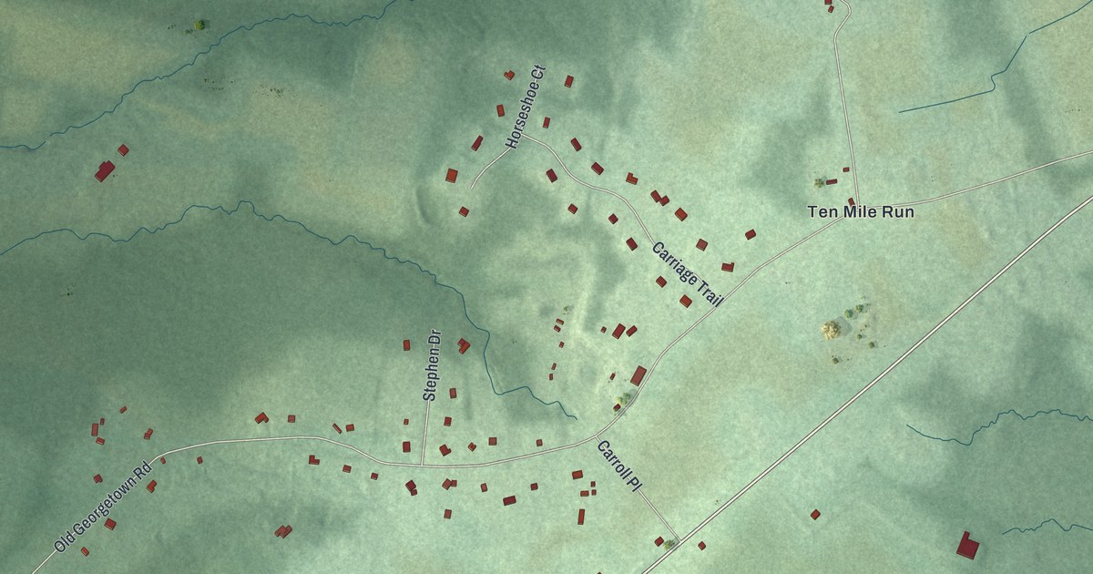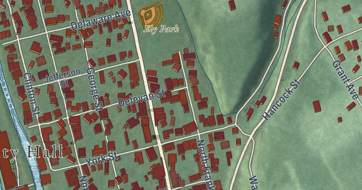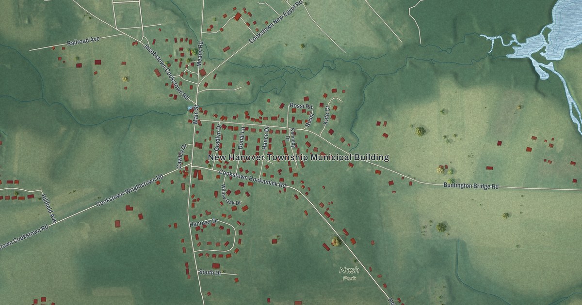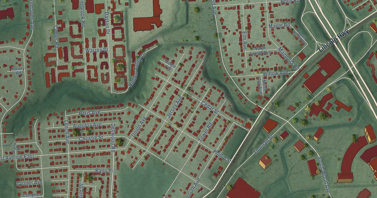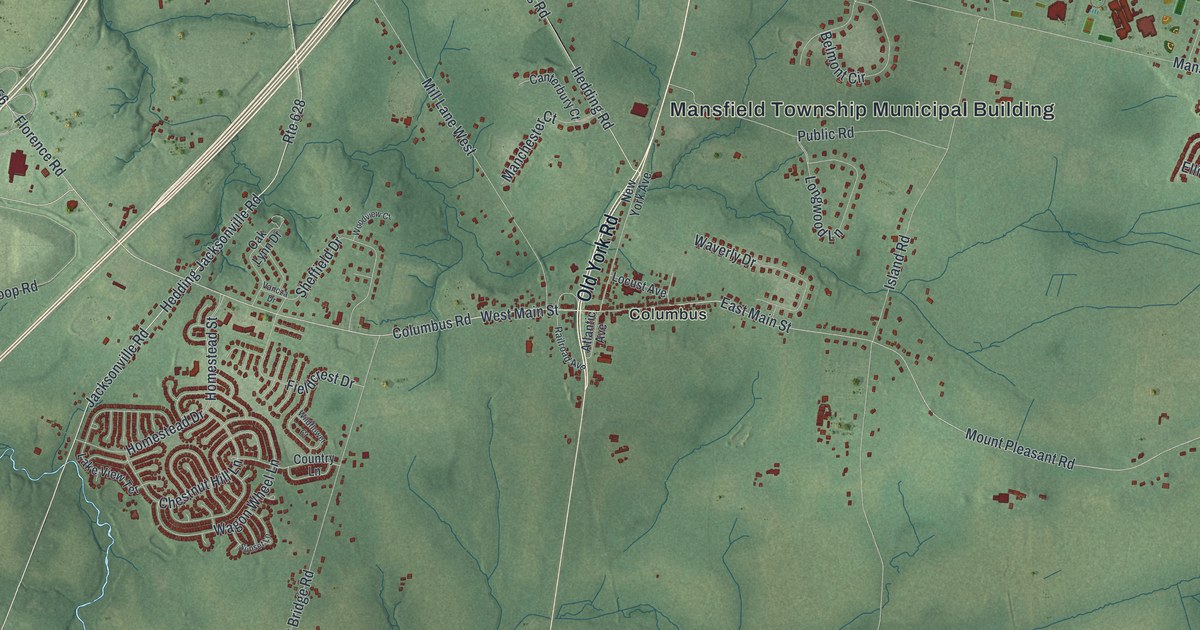
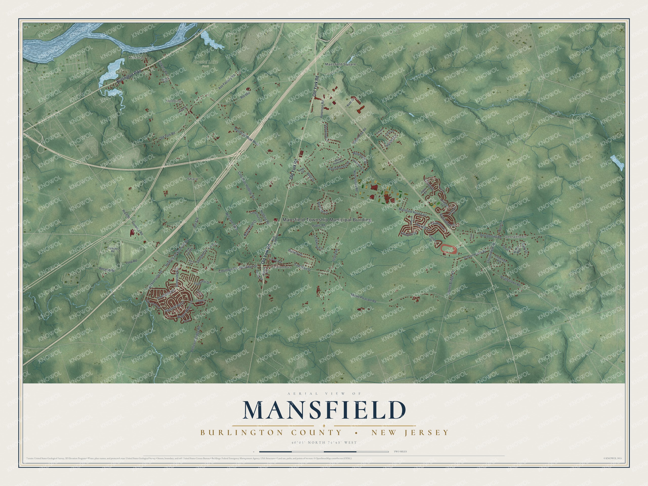
This beautifully detailed map of Mansfield, Burlington County, New Jersey was created in 2026 using aerial imagery combined with modern topographical, census, street and landmark data. It’s a one-of-a-kind view of Mansfield that combines accurate data with a vintage aesthetic. The map shows every building in its true location, many of the roads carry their names, and the shaded topographic relief shows the shape of the land.
Explore an aerial view of Mansfield, Burlington County, New Jersey
On the map you’ll find Mansfield Township Municipal Building, Georgetown, Kinkora, Hedding, Columbus, Mansfield Square, and Crystal Lake Park, along with Old York Road, Burlington Pike, Columbus Road, Hedding Jacksonville Road, and more. If you look closely you can even find your house accurately drawn in its correct location. Zoom in on the preview to look for yours.
Did You Know?
The Lenape people lived on this land before Europeans arrived. Mansfield took its name from Mansfield, England. It was first formed in 1688 and formed again by royal charter in 1770. In 1798 it became one of the first 104 townships of New Jersey.
Take a closer look at the Mansfield, Burlington County map
Names on this map
These names are printed on this map.
Places: Mansfield Township Municipal Building, Georgetown, Kinkora, Hedding, Crystal Lake Park, Columbus, Mansfield Square and Sharp.
Streets and roads: Old York Road, Burlington Pike, Columbus Road, Hedding Jacksonville Road, Mount Pleasant Road, Kinkora Road, South Hockey Drive, Columbus Hedding Road, Route 660, Jacksonville Road, Mansfield Road East, Hedding Road.
More street names, A to Z
Aaronson Road, Ambrose Drive, Arlington Lane, Atlantic Avenue, Axe Factory Road, Belmont Circle, Birmingham Drive, Bridle Way, Canterbury Court, Chamber Lane, Chesterfield Road, Chestnut Hill Lane, Cloverdale Way, Country Lane, Danny Lane, Deerpath Lane, East Main Street, Ellington Drive, Everett Drive, Fairmont Drive, Fieldcrest Drive, First Street, Florence Road, Gaunts Bridge Road, Georgetown Road, Greenbrook Drive, Harvest Lane, Hickory Drive, Holly Drive, Homestead Drive, Homestead Street, Island Road, Joyce Court, Kings Court, Lake View Terrace, Landview Lane, Lauren Court, Lincoln Drive, Locust Avenue, Longwood Lane, Loop Road, Manchester Court, Mansfield Road West, Millennium Drive, Mill Lane West, Nade Drive, New York Avenue, North Hockey Drive, North Island Road, Oak Lynn Drive, Petticoat Bridge Road, Public Road, Railroad Avenue, Recycle Road, Route 628, Route 656, Route 677, School House Road, Sheffield Drive, Sherwood Lane, Stratton Avenue, Sunset Lane, Surry Court, Transfer Road, Vancza Drive, Vandevere Lane, Wagon Wheel Lane, Waverly Drive, West Main Street, White Pine Road, Wildflower Court, Woodview Court, Wrightstown Road.
See it on a wall
The Mansfield, Burlington County map as an 18 x 24 inch print in a black frame.

This beautifully detailed map of Mansfield, Burlington County makes an attractive addition to your office, library, or den, and it can even be used to teach children the geography and history of the area. It also makes a great gift for anyone with Mansfield roots. When you’re done exploring, click here to get your copy of the Mansfield, Burlington County map.