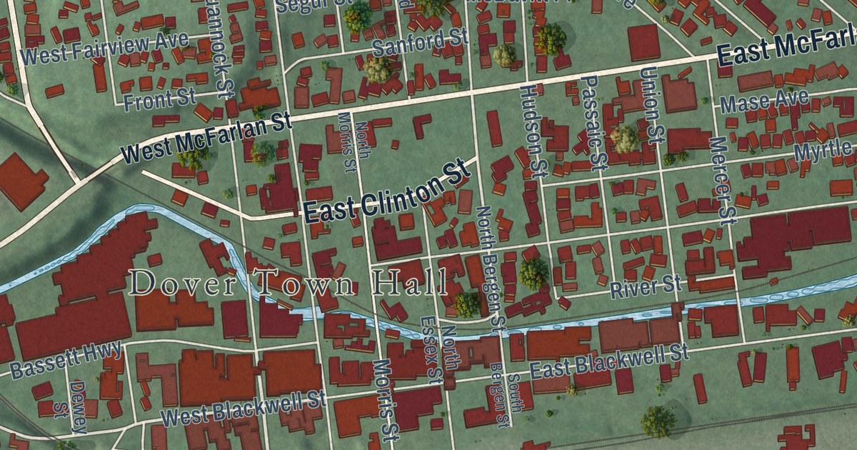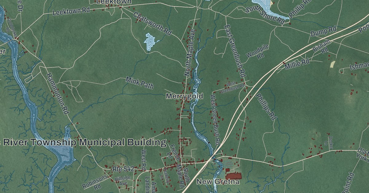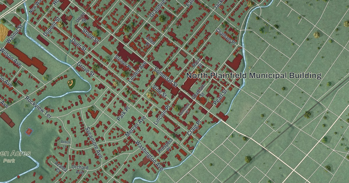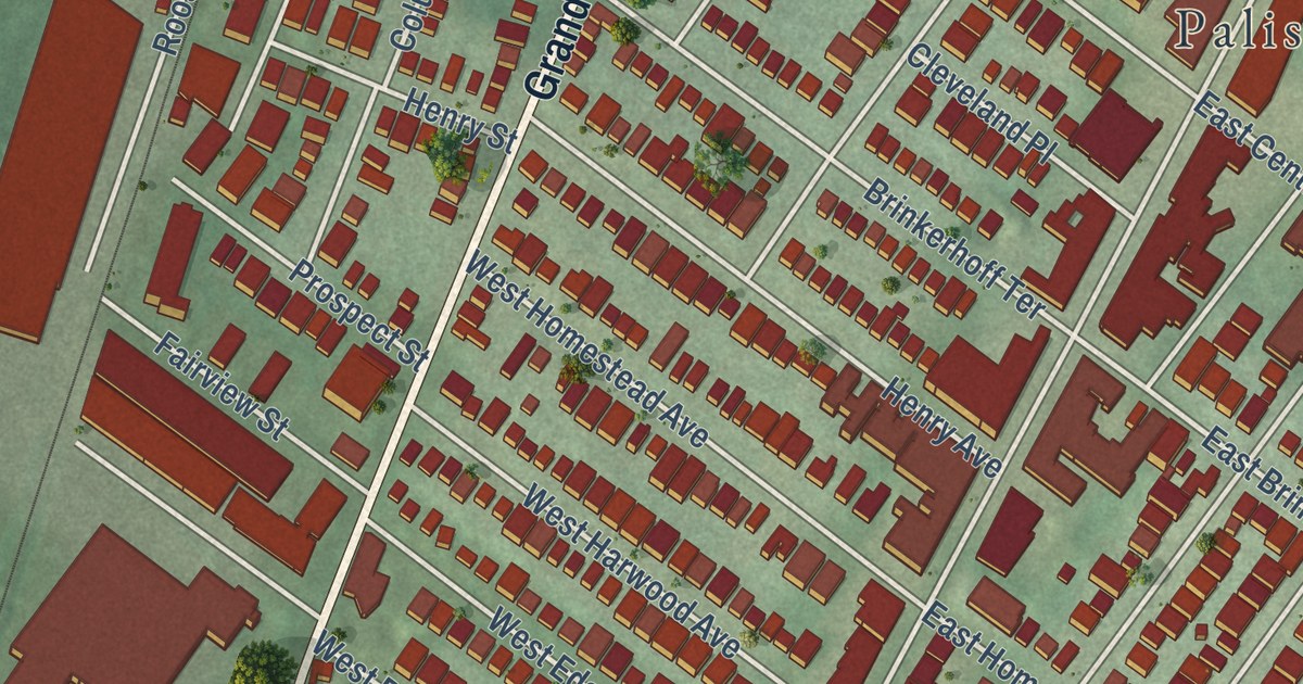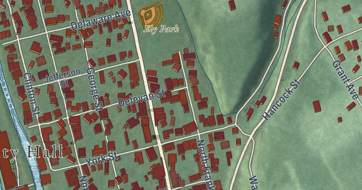
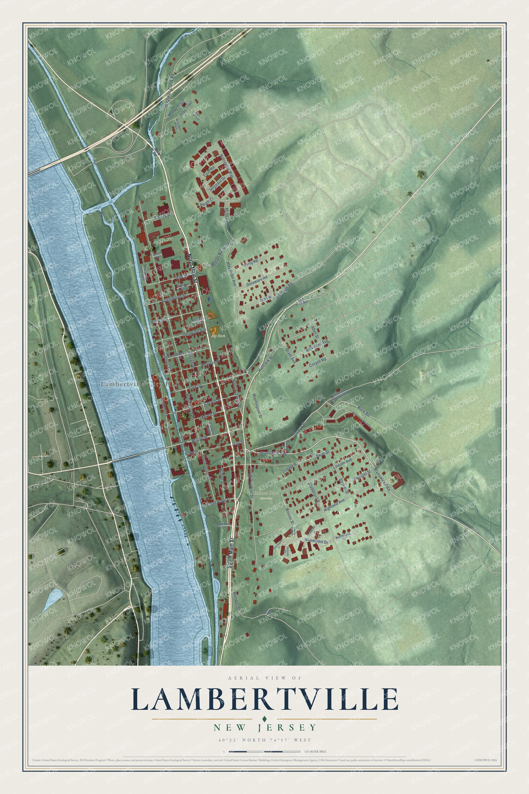
This beautifully detailed map of Lambertville, New Jersey was created in 2026 using aerial imagery combined with modern topographical, census, street and landmark data. It’s a one-of-a-kind view of Lambertville that combines accurate data with a vintage aesthetic. The map shows every building in its true location, many of the roads carry their names, and the shaded topographic relief shows the shape of the land.
Explore an aerial view of Lambertville, New Jersey
On the map you’ll find Mount Hope Cemetery and Ely Park, along with South Main Street, North Main Street, Alexauken Creek Road, Woodcrest Drive, Quarry Street, Brunswick Pike, Mount Hope Street, Brunswick Avenue, Bridge Street, Rock Road, and more. If you look closely you can even find your house accurately drawn in its correct location. Zoom in on the preview to look for yours.
Did You Know?
In the 1700s this river crossing was called Coryell’s Ferry, after its owner, Emanuel Coryell. The town took the name Lambertville in 1810, when its post office opened. It honored John Lambert, a resident who had been a U.S. senator and acting governor of New Jersey. Lambert had arranged for the opening of the post office.
Take a closer look at the Lambertville map
Names on this map
These names are printed on this map.
Places: Lambertville City Hall, Mount Hope Cemetery and Ely Park.
Streets and roads: South Main Street, North Main Street, Alexauken Creek Road, Woodcrest Drive, Quarry Street, Brunswick Pike, Mount Hope Street, Brunswick Avenue, Bridge Street, Rock Road, Boozer Street, Clinton Street.
More street names, A to Z
Alexander Avenue, Allen Street, Arnett Avenue, Belvidere Avenue, Blair Tract, Blair Tract East, Brittains Alley, Buttonwood Street, Cherry Street, Church Street, Coon Path, Coryell Road, Coryell Street, Cottage Street, Curley Lane, Delaware Avenue, Delaware Road, Delevan Street, Douglas Street, Elm Street, Elm Street Extended, Feeder Street, Ferry Street, George Street, Gordons Alley, Grant Avenue, Hancock Street, Heath Court, Highland Avenue, Hillside Court, Holcombe Way, Jean Street, Jefferson Road, Jefferson Street, Lambert Lane, Liberty View Court, Lily Street, Lincoln Avenue, Malloy Tract, McDowell Drive, Northfield Court, North Franklin Street, North Union Street, Old York Road, Overlook Court, Parents Alley, Perry Road, Perry Street, Phillips Barber Road, River Road, Rock Creek Woods Drive, Rocktown Lambertville Road, Sergeant Drive, South Franklin Street, South Union Street, Stryker Street, Studdiford Street, Sturbridge Court, Swan Street, Titus Road, Washington Street, Weeden Street, West Blair Tract, Wilson Street, York Street.
See it on a wall
The Lambertville map as an 18 x 24 inch print in a black frame.

This beautifully detailed map of Lambertville makes an attractive addition to your office, library, or den, and it can even be used to teach children the geography and history of the area. It also makes a great gift for anyone with Lambertville roots. When you’re done exploring, click here to get your copy of the Lambertville map.