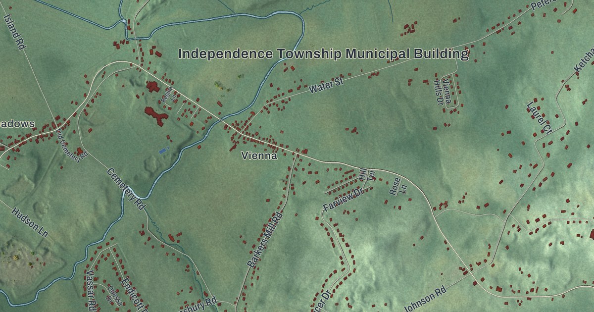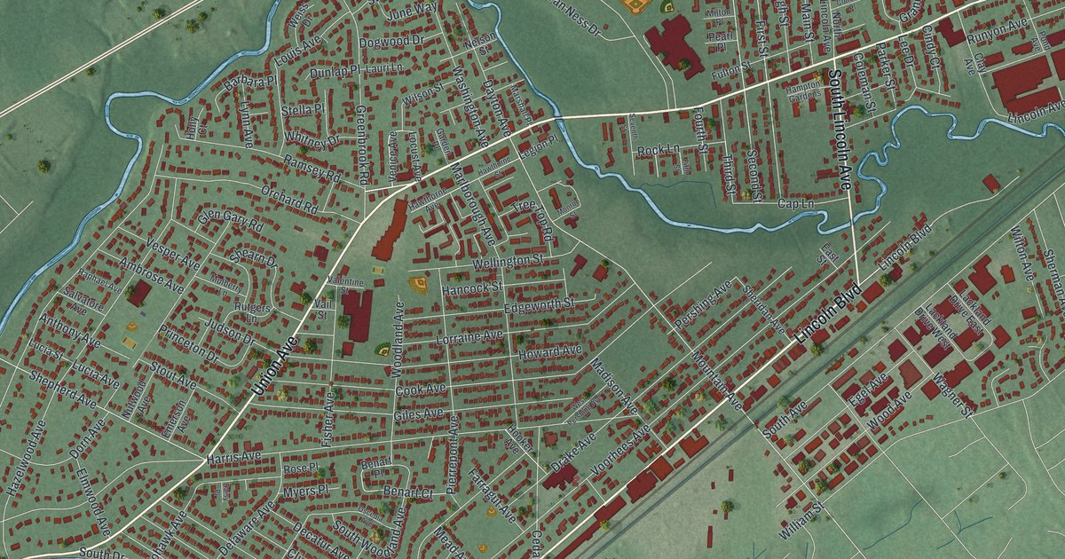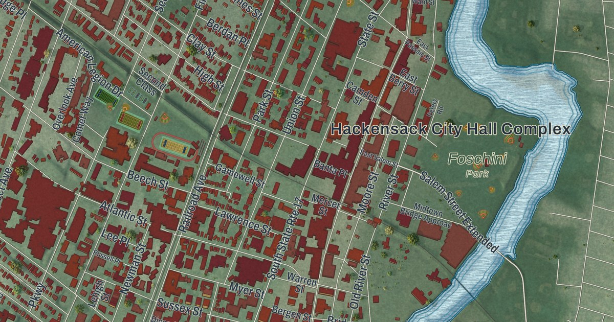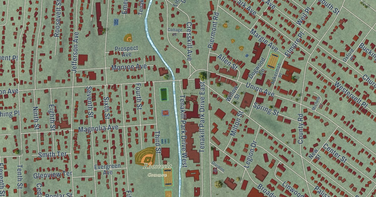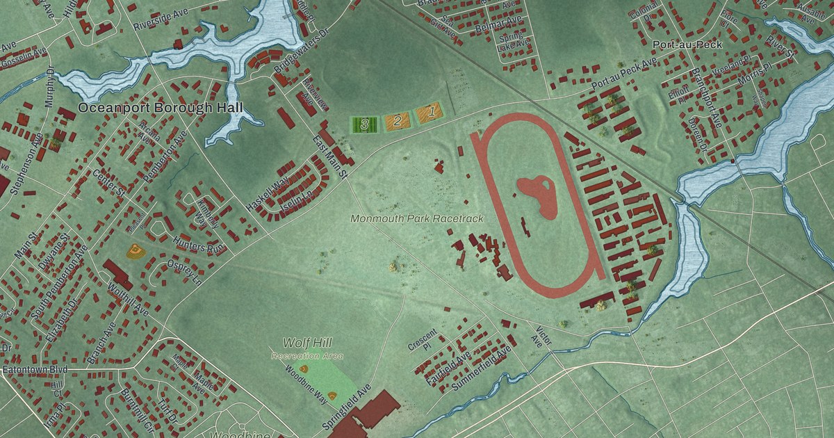
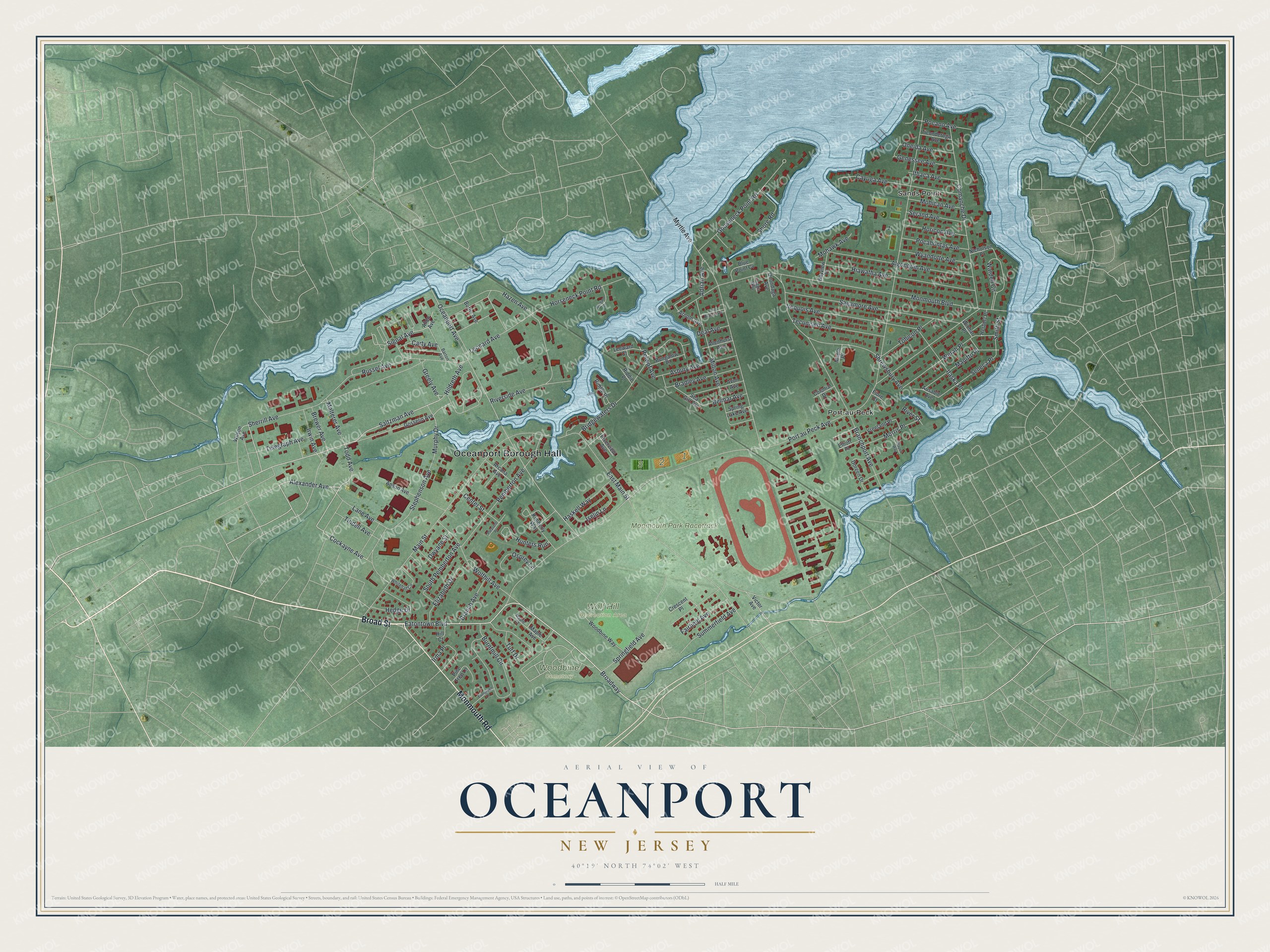
This beautifully detailed map of Oceanport, New Jersey was created in 2026 using aerial imagery combined with modern topographical, census, street and landmark data. It’s a one-of-a-kind view of Oceanport that combines accurate data with a vintage aesthetic. The map shows every building in its true location, many of the roads carry their names, and the shaded topographic relief shows the shape of the land.
Explore an aerial view of Oceanport, New Jersey
On the map you’ll find Oceanport Borough Hall, Port-au-Peck, Sands Point, Monmouth Park Racetrack, Wolf Hill Recreation Area, and Woodbine Cemetery, along with Broad Street, Monmouth Road, Saltzman Avenue, Alexander Avenue, and more. If you look closely you can even find your house accurately drawn in its correct location. Zoom in on the preview to look for yours.
Did You Know?
Monmouth Park, a thoroughbred race track, came to Oceanport in 1946. It was put in this small town for its shore location and easy reach from New York and North Jersey. In October 2007 it hosted the Breeders’ Cup, drawing nearly 70,000 fans over two days.
Take a closer look at the Oceanport map
Names on this map
These names are printed on this map.
Places: Oceanport Borough Hall, Monmouth Park Racetrack, Wolf Hill Recreation Area, Woodbine Cemetery, Port-au-Peck and Sands Point.
Streets and roads: Broad Street, Monmouth Road, Saltzman Avenue, Alexander Avenue, Eatontown Boulevard, Cockayne Avenue, Todd Avenue, Broadway, Greely Avenue, Murphy Drive, Oceanport Avenue, Wardell Circle.
More street names, A to Z
Adrian Avenue, Algonquin Avenue, Allen Avenue, Allenhurst Avenue, Anson Avenue, Arcana Avenue, Arnold Avenue, Asbury Avenue, Ausable Avenue, Avon Avenue, Barton Avenue, Bayview Place, Belmar Avenue, Blue Point Cv, Bradley Avenue, Branch Avenue, Branchport Avenue, Brewer Avenue, Bridgewaters Drive, Bungalow Place, Burns Avenue, Burntmill Circle, Carty Avenue, Cayuga Avenue, Center Street, Colonial Drive, Comanche Drive, Crescent Place, Deal Avenue, Doreen Drive, Dwyane Street, East Main Street, Elizabeth Drive, Elliott Place, Evergreen Lane, Fairfield Avenue, Fiore Court, Foggia Way, Genessee Avenue, Gooseneck Point Road, Gosselin Avenue, Haskell Way, Hazen Avenue, Hedge Drive, Herbert Place, Hiawatha Avenue, Hildreth Avenue, Hill Court, Horicon Avenue, Horseneck Point Road, Hunters Run, Irma Place, Iroquois Avenue, Irwin Avenue, Iselin Lane, Itaska Place, Ithaca Avenue, Kimberly Way, Lane Avenue, Leeward Court, Leonard Avenue, Long Branch Avenue, Main Street, Malterer Avenue, Manitto Place, Maple Avenue, Maple Court, Maple Place, Milton Avenue, Mohawk Avenue, Mohican Avenue, Monmouth Boulevard, Morris Place, Myrtle Avenue, Nicholson Place, Oneida Avenue, Onondaga Avenue, Orchard Drive, Osprey Lane, Pemberton Avenue, Pine Tree Lane, Pleasent Place, Pocahontas Avenue, Pocano Avenue, Port au Peck Avenue, Relwof Avenue, Riddie Place, Riddle Place, Riverside Avenue, River Street, Riverview Avenue, Russel Avenue, Sagamore Avenue, Sea Girt Avenue, Seneca Place, Serand Avenue, Shapen Way, Sherrill Avenue, Shore Road, Shrewsbury Avenue, Signal Avenue, Smith Street, South Pemberton Avenue, Springfield Avenue, Spring Lake Avenue, Stephenson Avenue, Summerfield Avenue, Tecumseh Avenue, Telegraph Avenue, Ticonderoga Avenue, Tindell Avenue, Tohicon Place, Turf Drive, Victor Avenue, Vreeland Place, Werah Place, Whitehall Circle, Wilson Avenue, Winhar Place, Wolfhill Avenue, Woodbine Way, Wyandotte Avenue.
See it on a wall
The Oceanport map as an 18 x 24 inch print in a black frame.

This beautifully detailed map of Oceanport makes an attractive addition to your office, library, or den, and it can even be used to teach children the geography and history of the area. It also makes a great gift for anyone with Oceanport roots. When you’re done exploring, click here to get your copy of the Oceanport map.