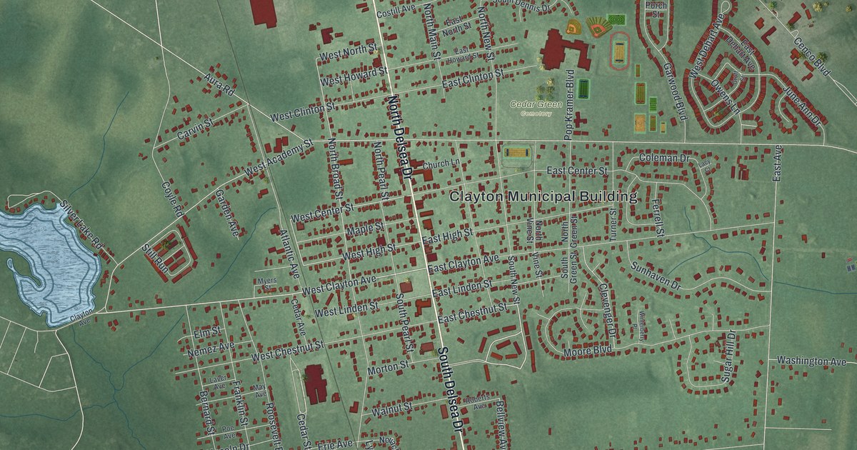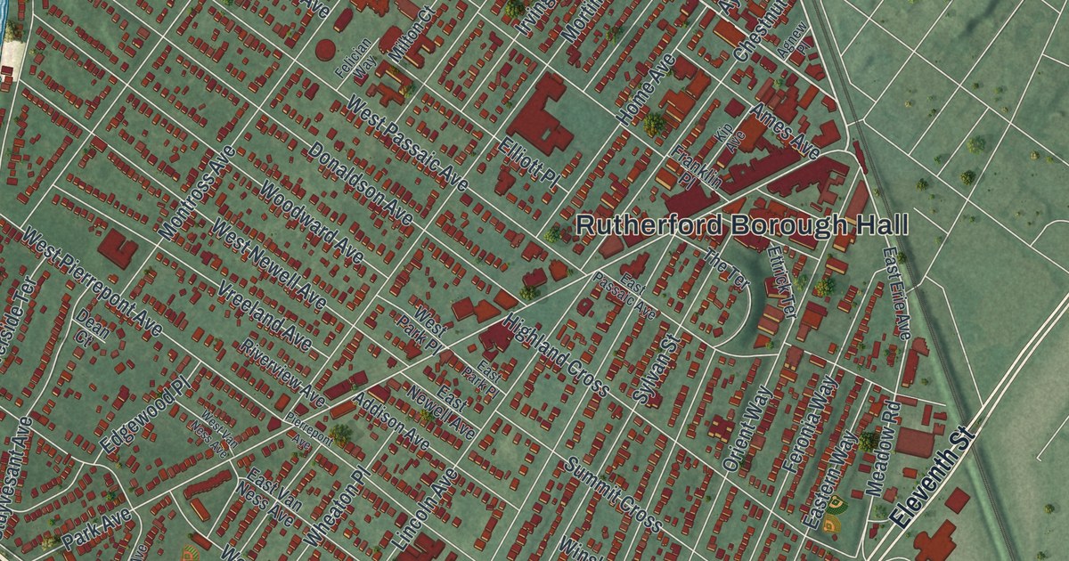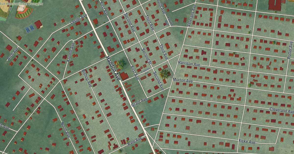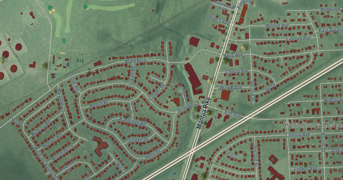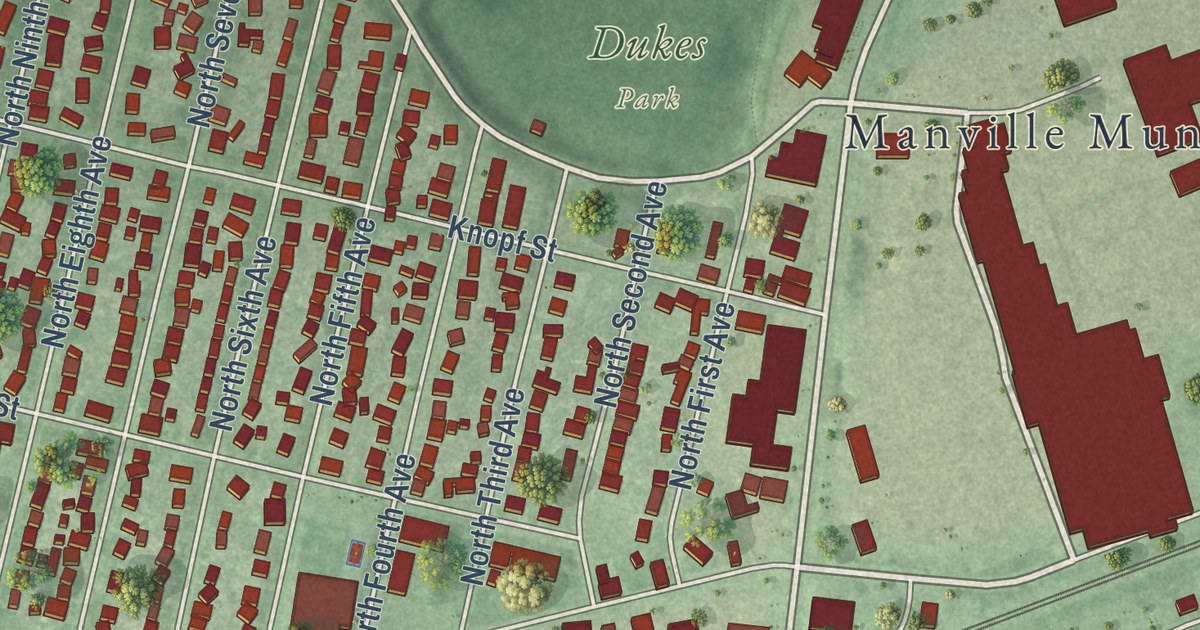
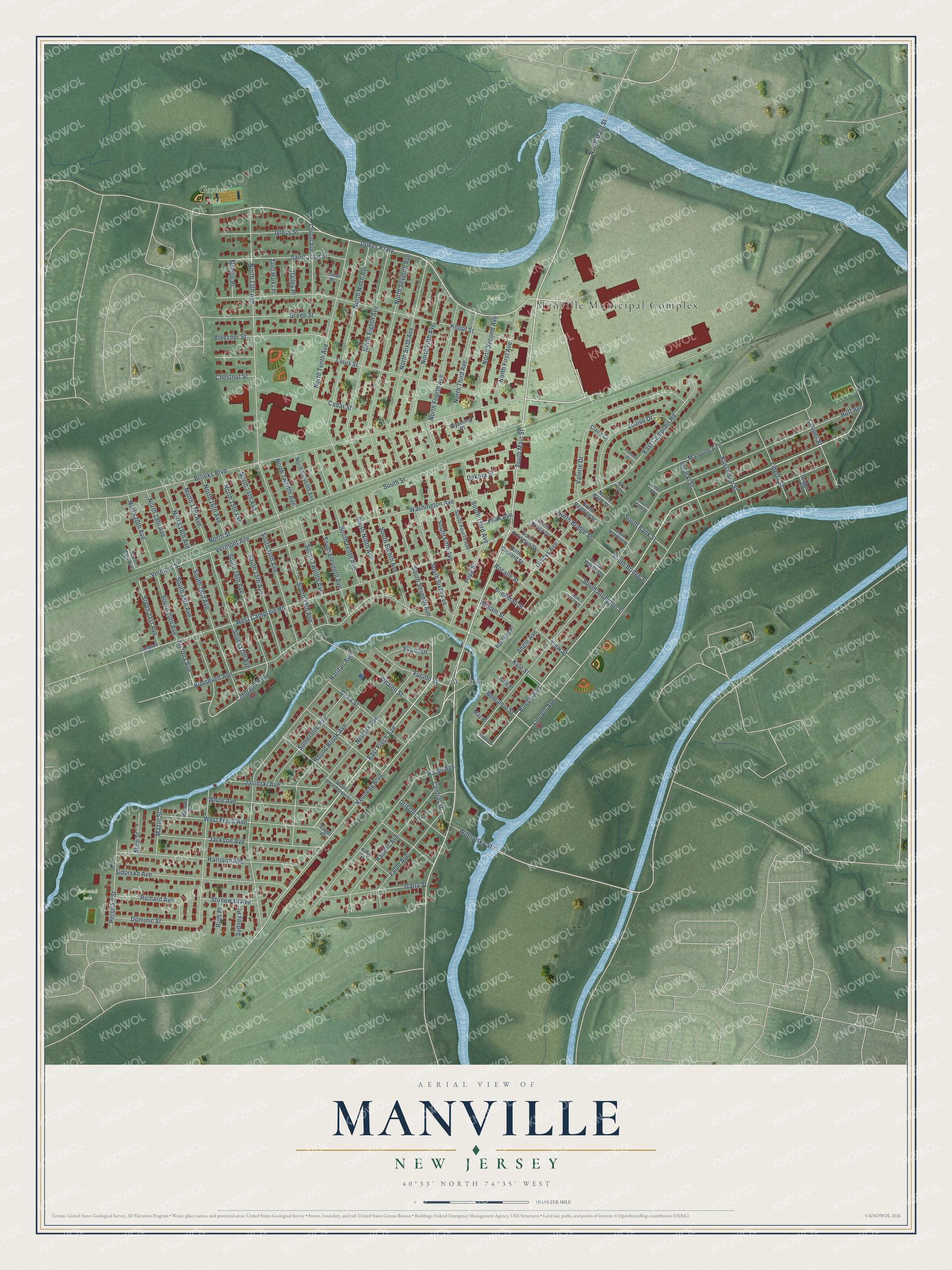
This beautifully detailed map of Manville, New Jersey was created in 2026 using aerial imagery combined with modern topographical, census, street and landmark data. It’s a one-of-a-kind view of Manville that combines accurate data with a vintage aesthetic. The map shows every building in its true location, many of the roads carry their names, and the shaded topographic relief shows the shape of the land.
Explore an aerial view of Manville, New Jersey
On the map you’ll find Manville Municipal Complex, Weston, Dukes Park, and Papwick Park, along with Main Street, Frech Avenue, Boesel Avenue, Dukes Parkway, and more. If you look closely you can even find your house accurately drawn in its correct location. Zoom in on the preview to look for yours.
Did You Know?
Manville takes its name from the Johns-Manville Corporation. The company ran a large factory in the borough for decades. Many residents have Polish or Ukrainian roots. The borough was formed in 1929 after voters approved it in a referendum.
Take a closer look at the Manville map
Names on this map
These names are printed on this map.
Places: Manville Municipal Complex, Weston, Dukes Park, Gerber Field and Papwick Park.
Streets and roads: South Main Street, East Frech Avenue, Boesel Avenue, Dukes Parkway, North Main Street, Kennedy Boulevard, Colorado Avenue, South 21st Avenue, Huff Avenue, Lincoln Avenue, Brooks Boulevard, North Street.
More street names, A to Z
Alice Street, Angle Avenue, Arizona Avenue, Beekman Street, Benjamin Street, Bleecher Street, Bound Brook Avenue, Brook Place, Camplain Road, Cedar Street, Central Street, Chestnut Street, Claire Court, Clinton Avenue, Cooper Street, Dailey Place, Dakota Street, Dominic Street, Driscoll Street, East Camplain Road, Engel Place, Evans Drive, Fable Avenue, Filak Avenue, Florence Court, Fucillo Street, Garry Street, Gladys Avenue, Green Street, Gress Street, Griggs Place, Haran Avenue, Harrison Avenue, Jackson Avenue, Jasinski Avenue, John Place, June Place, King Street, Knopf Street, Kosciusko Street, Kyle Street, Lee Place, Liberty Street, Louise Drive, Louis Street, Manville Avenue, Marion Place, May Place, Mazur Street, Newark Avenue, North 13th Avenue, North 14th Avenue, North 15th Avenue, North 16th Avenue, North 17th Avenue, North 18th Avenue, North 19th Avenue, North 20th Avenue, North 21st Avenue, North Arlington Street, North Bank Street, North Bridge Street, North Eighth Avenue, North Eleventh Avenue, North Fifth Avenue, North First Avenue, North Fourth Avenue, North Greasheimer Street, North Ninth Avenue, North Orchard Street, North Park Street, North Reading Street, North Second Avenue, North Seventh Avenue, North Sixth Avenue, North Tenth Avenue, North Third Avenue, North Twelfth Avenue, North Weiss Street, Onka Street, Persinko Street, Pope Street, Pulaski Street, Rabens Avenue, Railroad Place, Raritan Avenue, Richard Avenue, Roosevelt Avenue, Rosalie Street, Ruth Place, Saint John Street, Saint Marks Place, Sidorske Avenue, Somerville Avenue, South 13th Avenue, South 14th Avenue, South 15th Avenue, South 16th Avenue, South 17th Avenue, South 18th Avenue, South 19th Avenue, South 20th Avenue, South Arlington Street, South Bank Street, South Bridge Street, South Eighth Avenue, South Eleventh Avenue, South Fifth Avenue, South Fourth Avenue, South Ninth Avenue, South Orchard Street, South Park Street, South Reading Street, South Seventh Avenue, South Sixth Avenue, South Street, South Tenth Avenue, South Third Avenue, South Twelfth Avenue, South Weiss Street, Stonewall Avenue, Sydney Place, Valerie Drive, Vermont Avenue, Vermont Street, View Street, Washington Avenue, West Camplain Road, West Frech Avenue, Whalen Street, White Avenue, Wilhousky Street, William Street, Woodrow Street, Wyoming Place.
See it on a wall
The Manville map as an 18 x 24 inch print in a black frame.

This beautifully detailed map of Manville makes an attractive addition to your office, library, or den, and it can even be used to teach children the geography and history of the area. It also makes a great gift for anyone who grew up in Manville or moved away. When you’re done exploring, click here to get your copy of the Manville map.