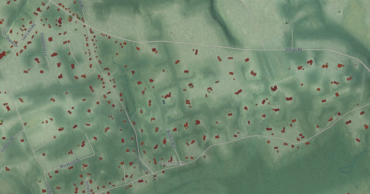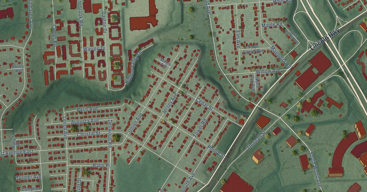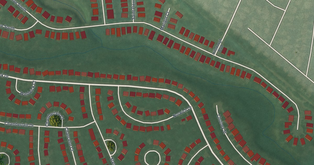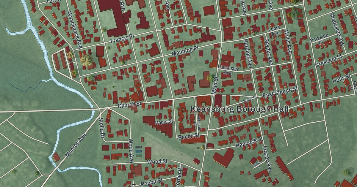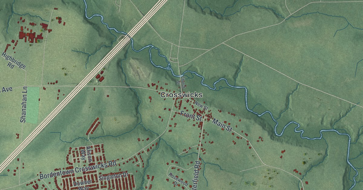
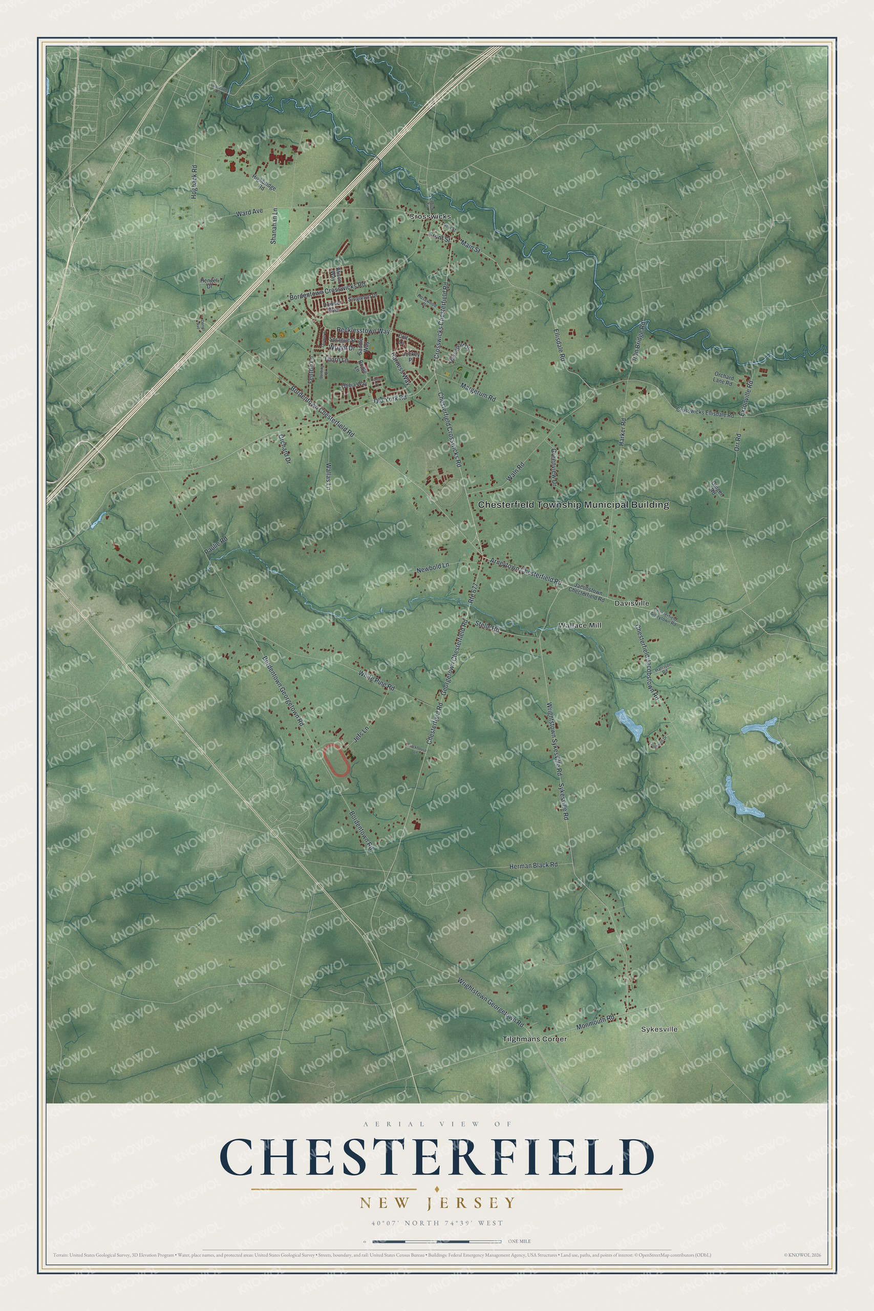
This beautifully detailed map of Chesterfield, New Jersey was created in 2026 using aerial imagery combined with modern topographical, census, street and landmark data. It’s a one-of-a-kind view of Chesterfield that combines accurate data with a vintage aesthetic. The map shows every building in its true location, many of the roads carry their names, and the shaded topographic relief shows the shape of the land.
Explore an aerial view of Chesterfield, New Jersey
On the map you’ll find Chesterfield Township Municipal Building, Sykesville, Crosswicks, Davisville, Tilghmans Corner, and Wallace Mill, along with Chesterfield Crosswicks Road, Crosswicks Chesterfield Road, Arneytown Chesterfield Road, Bordentown Chesterfield Road, Ellisdale Road, Main Street, and more. If you look closely you can even find your house accurately drawn in its correct location. Zoom in on the preview to look for yours.
Did You Know?
The township was formed in 1688 and named for the 2nd Earl of Chesterfield. His seat was in Derbyshire, home of many early settlers. Its village of Recklesstown honored founder Joseph Reckless. People mocked that name, so a local Congressman pushed to rename the village Chesterfield in 1888.
Take a closer look at the Chesterfield map
Names on this map
These names are printed on this map.
Places: Chesterfield Township Municipal Building, Sykesville, Crosswicks, Davisville, Tilghmans Corner and Wallace Mill.
Streets and roads: Chesterfield Crosswicks Road, Crosswicks Chesterfield Road, Arneytown Chesterfield Road, Bordentown Chesterfield Road, Ellisdale Road, Main Street, Wrightstown Georgetown Road, Extonville Road, Wrightstown Sykesville Road, Sykesville Road, Bordentown Georgetown Road, Old York Road.
More street names, A to Z
Atison Way, Bordentown Crosswicks Road, Bordentown Road, Bridle Lane, Bunting Drive, Canter Place, Chesterfield Arneytown Road, Chesterfield Jacobstown Road, Chesterfield Road, Church Street, Colt Lane, Cromwell Drive, Crosswicks Ellisdale Road, Daniel Avenue, Davenport Drive, Downer Way, Fenton Lane, Front Street, Georgetown Chesterfield Road, Ginger Road, Greenview Drive, Groveville Road, Harker Road, Harness Way, Harrison Road, Hengeli Drive, Herman Black Road, Highbridge Road, Hogback Road, Iron Bridge Road, Jacobstown Checterfield Road, Jefs Lane, Jockey Place, Margerum Road, Monmouth Road, Newbold Lane, New Street, Olivia Way, Orchard Drive, Orchard Lane Road, Orr Road, Paulie Road, Quaker Street, Recklesstown Way, Rosewood Drive, Route 677, Saddle Way, Shanahan Lane, Singleton Drive, Sprague Street, Stackhouse Lane, Stelle Road, Thorn Lane, Wallas Lane, Waln Road, Ward Avenue, White Pine Road, Wright Drive.
See it on a wall
The Chesterfield map as an 18 x 24 inch print in a black frame.

This beautifully detailed map of Chesterfield makes an attractive addition to your office, library, or den, and it can even be used to teach children the geography and history of the area. It also makes a great gift for anyone with Chesterfield roots. When you’re done exploring, click here to get your copy of the Chesterfield map.