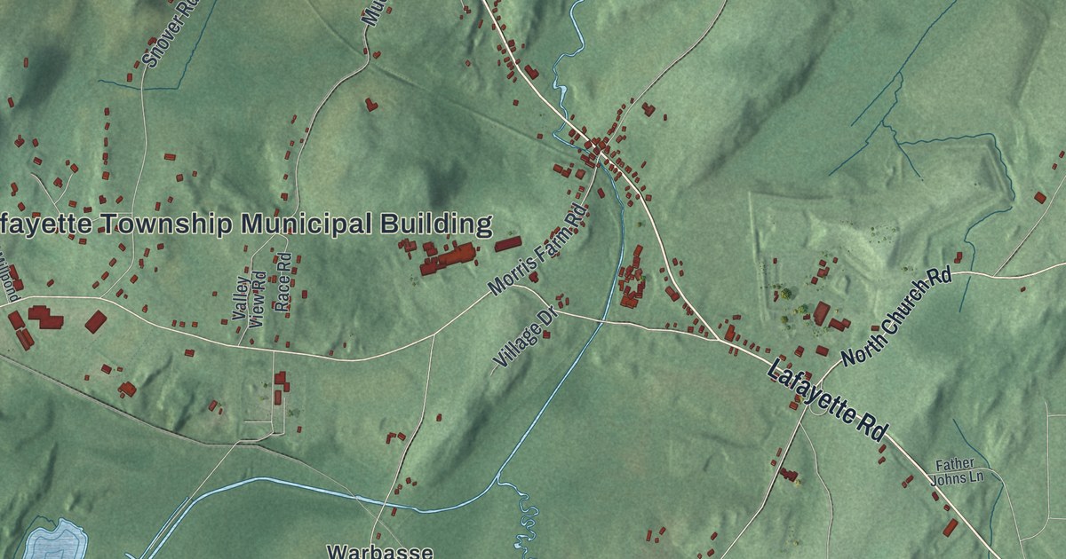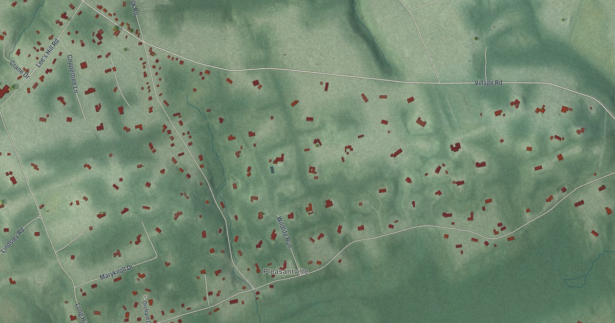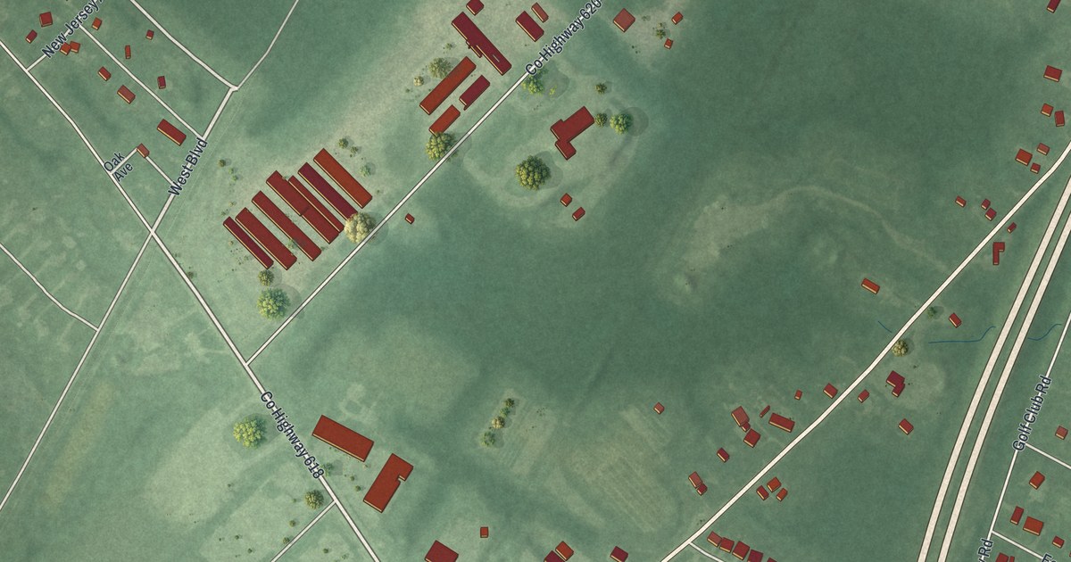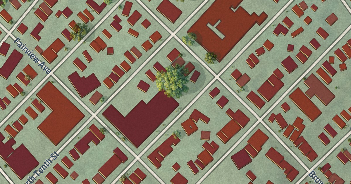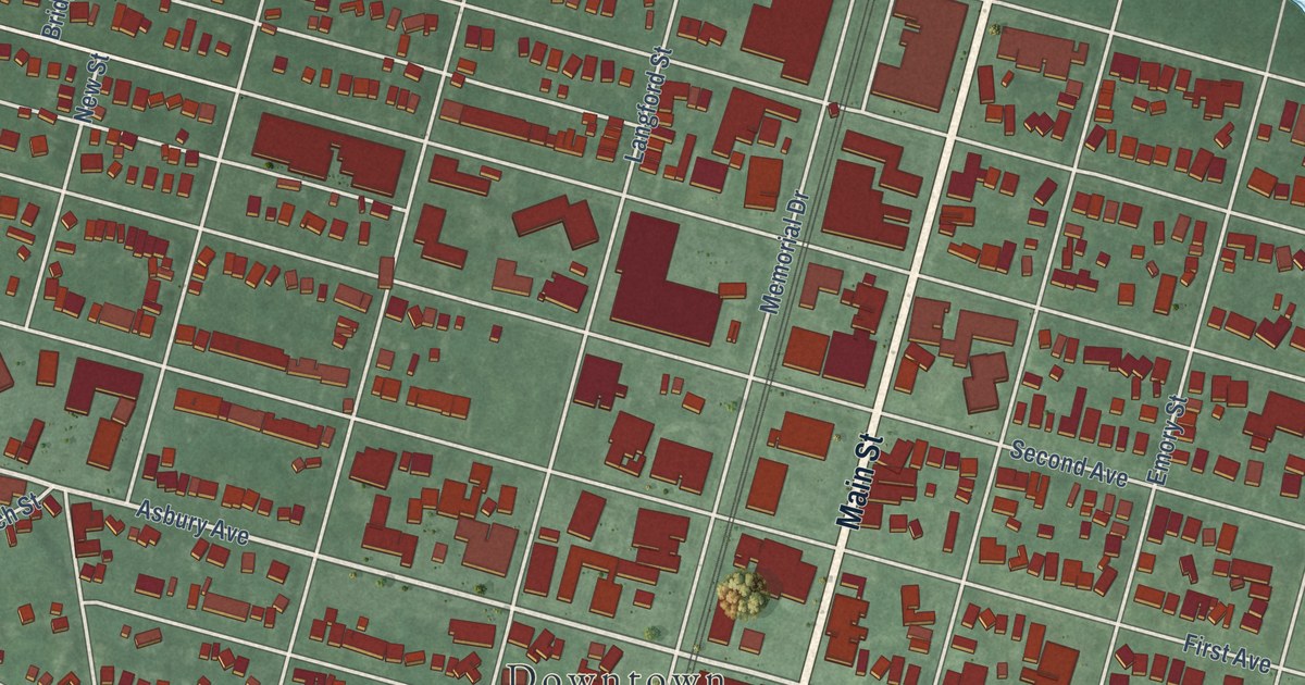
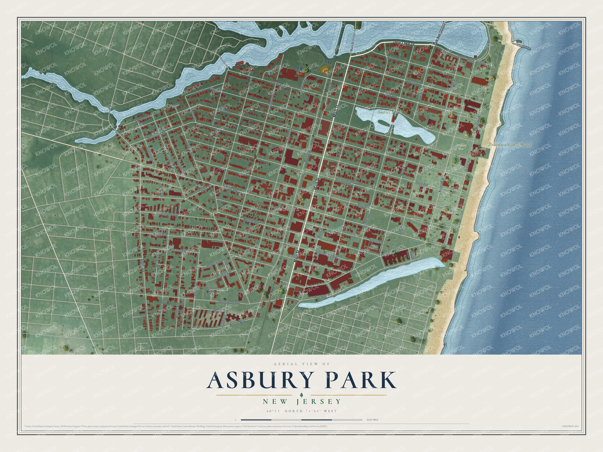
This beautifully detailed map of Asbury Park, New Jersey was created in 2026 using aerial imagery combined with modern topographical, census, street and landmark data. It’s a one-of-a-kind view of Asbury Park that combines accurate data with a vintage aesthetic. The map shows every building in its true location, many of the roads carry their names, and the shaded topographic relief shows the shape of the land.
Explore an aerial view of Asbury Park, New Jersey
On the map you’ll find Downtown, Boardwalk and Beach, Sunset Park, Bradley Park, and Steiner Place, along with Main Street, Deal Lake Drive, Seventh Avenue, Sixth Avenue, Asbury Avenue, Kingsley Street, Fourth Avenue, and more. If you look closely you can even find your house accurately drawn in its correct location. Zoom in on the preview to look for yours.
Did You Know?
James A. Bradley, a New York brush maker, developed Asbury Park in 1871 as a residential resort. He named it for Methodist leader Francis Asbury, the first bishop of his church in America. Bradley also built the boardwalk, an orchestra pavilion and a pier along the waterfront.
Take a closer look at the Asbury Park map
Names on this map
These names are printed on this map.
Places: Downtown, Boardwalk and Beach, Sunset Park and Bradley Park.
Streets and roads: Main Street, Deal Lake Drive, Seventh Avenue, Sixth Avenue, Asbury Avenue, Kingsley Street, Steiner Place, Fourth Avenue, Third Avenue, Second Avenue, First Avenue, Fifth Avenue.
More street names, A to Z
Adams Street, Atkins Avenue, Atlantic Avenue, Bangs Avenue, Bergh Street, Boardwalk, Bond Street, Borden Avenue, Boston Way, Bradley Terrace, Bridge Street, Central Avenue, Central Court, Church Street, Comstock Street, Cookman Avenue, Deal Lake Court, Dewitt Avenue, Drummond Avenue, Drummond Court, Drury Lane, Dunlewy Street, Eighth Avenue, Elizabeth Avenue, Emory Street, Grand Avenue, Heck Street, Ivy Place, Jefferson Avenue, Jeffrey Street, Jersey Street, Lake Avenue, Lake Drive, Langford Street, Locust Drive, Mattison Avenue, Memorial Drive, Monroe Avenue, New Street, Ocean Avenue, Park Avenue, Pine Court, Pine Street, Prospect Avenue, Ridge Avenue, Saint James Place, Sewall Avenue, Springwood Avenue, Spruce Street, Summerfield Avenue, Sunset Avenue, Sunset Drive, Sylvan Avenue, Union Avenue, Washington Avenue, Webb Street, Whitesville Road, Winn Street.
See it on a wall
The Asbury Park map as an 18 x 24 inch print in a black frame.

This beautifully detailed map of Asbury Park makes an attractive addition to your office, library, or den, and it can even be used to teach children the geography and history of the area. It also makes a great gift for anyone with Asbury Park roots. When you’re done exploring, click here to get your copy of the Asbury Park map.