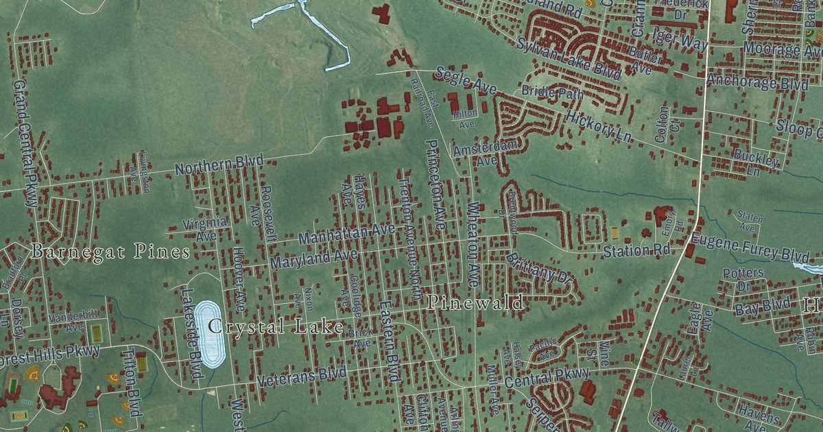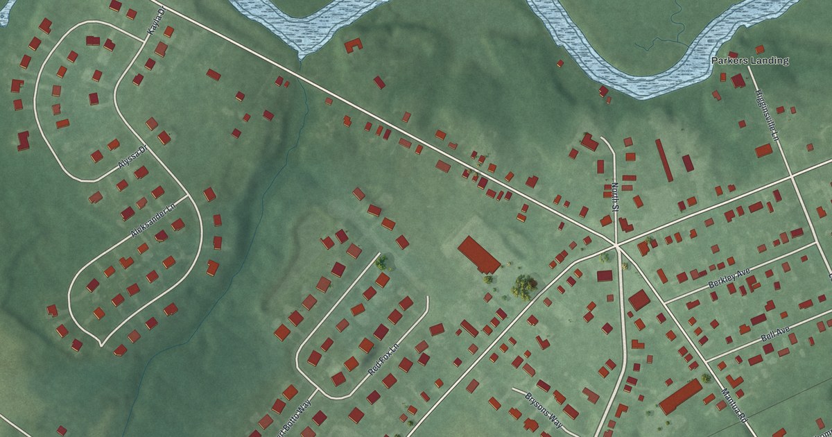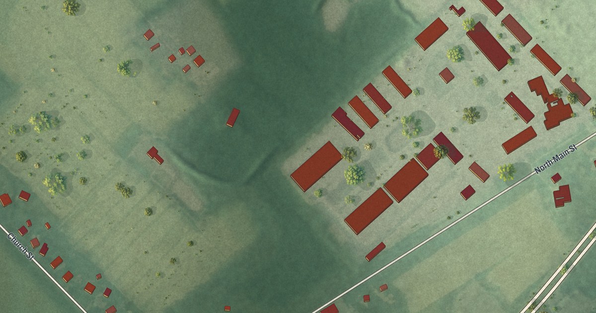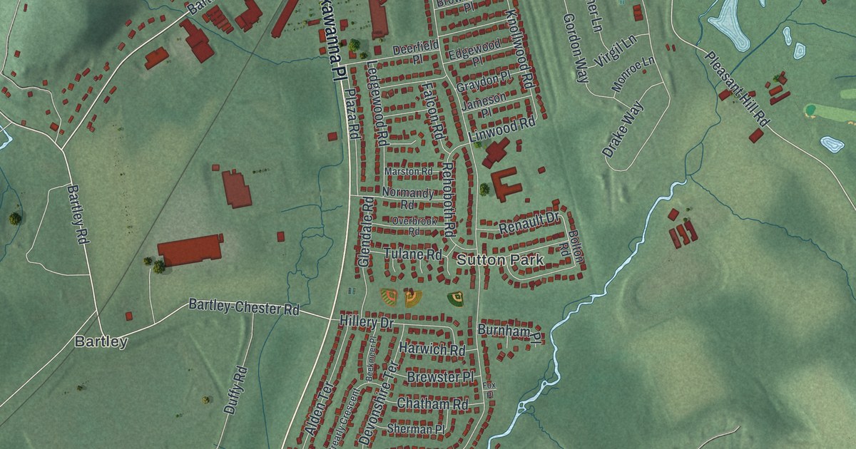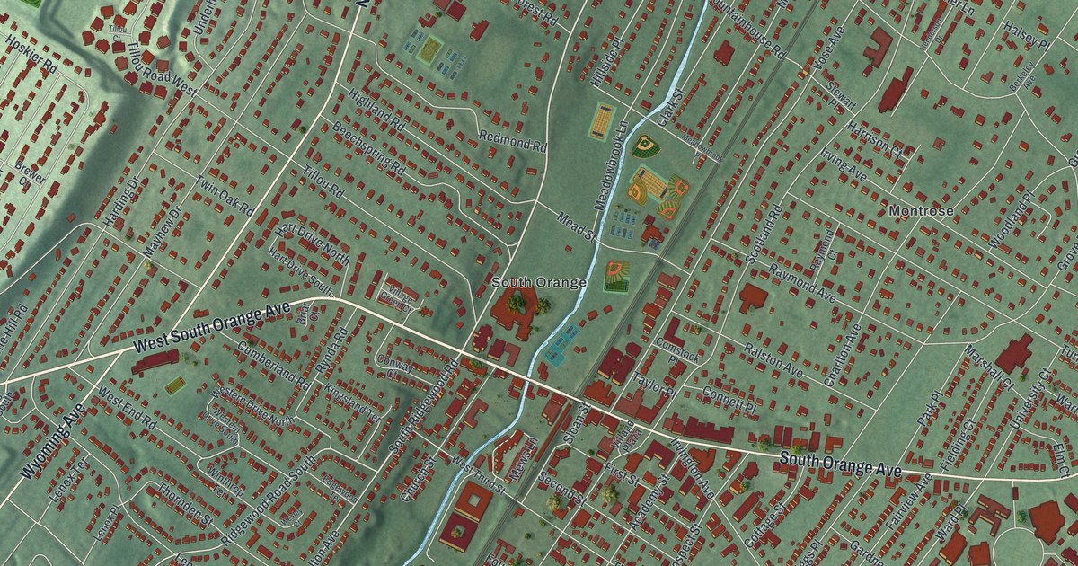
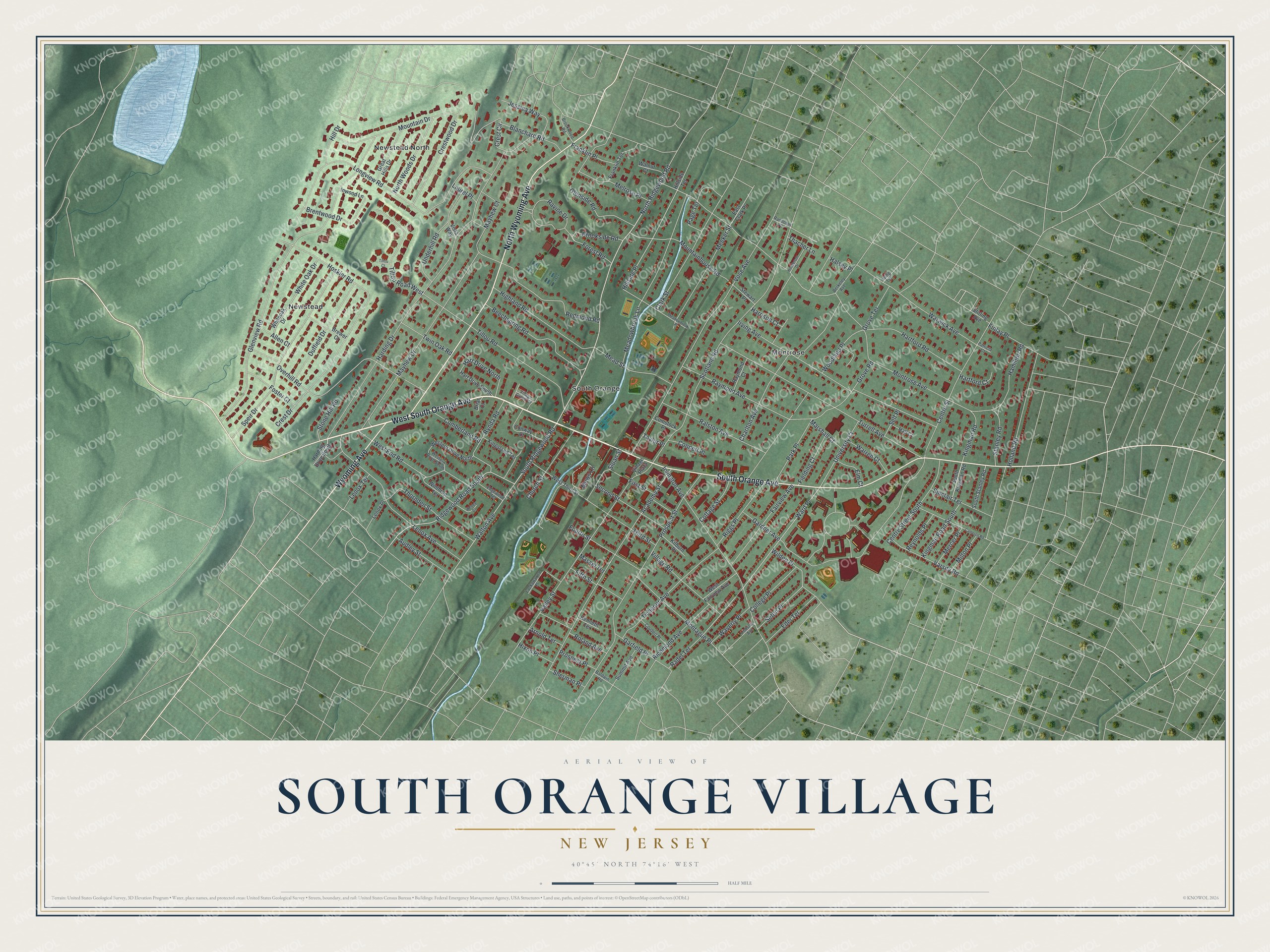
This beautifully detailed map of South Orange Village, New Jersey was created in 2026 using aerial imagery combined with modern topographical, census, street and landmark data. It’s a one-of-a-kind view of South Orange Village that combines accurate data with a vintage aesthetic. The map shows every building in its true location, many of the roads carry their names, and the shaded topographic relief shows the shape of the land.
Explore an aerial view of South Orange Village, New Jersey
On the map you’ll find Ward Place, Montrose, Newstead, Newstead North, and South Orange, along with South Orange Avenue, Orange Avenue, Wyoming Avenue, Ridgewood Road, and more. If you look closely you can even find your house accurately drawn in its correct location. Zoom in on the preview to look for yours.
Did You Know?
South Orange was once known as the Chestnut Hills. A deed from 1800 called the spot South Orange, and the old name faded away. Orange itself honored William of Orange, the ruler of England. After the Civil War, the village became a haven from busy city life.
Take a closer look at the South Orange Village map
Names on this map
These names are printed on this map.
Places: Montrose, Newstead, Newstead North and South Orange.
Streets and roads: West South Orange Avenue, South Orange Avenue, North Wyoming Avenue, Wyoming Avenue, North Ridgewood Road, South Ridgewood Road, Ridgewood Road South, Ward Place, Walton Avenue, Hillside Place, Kingman Road South, Harding Drive.
More street names, A to Z
Academy Street, Allen Court, Arnold Terrace, Audley Street, Baldwin Road, Beechspring Road, Berkeley Avenue, Blanchard Road, Brentwood Drive, Brewer Court, Briar Court, Brookside Road, Brookwood Road, Cameron Road, Centre Street, Centre Street South, Charlton Avenue, Church Street, Clark Street, College Place, Comstock Place, Connett Place, Conway Court, Cottage Street, Coudert Place, Crest Circle, Crest Drive, Crestwood Drive, Cumberland Road, Duffield Drive, East Clark Place, Eder Terrace, Edgewood Terrace, Elm Court, Fairview Avenue, Fielding Court, Fifth Street, Finlay Place, First Street, Forest Road, Foster Court, Fourth Street, Franklin Place, Franklin Terrace, Gardner Avenue, Garfield Place, Glenside Road, Glenview Road, Great Hills Drive, Grove Road, Grove Terrace, Hall Court, Halsey Place, Hamilton Road, Harding Drive South, Harrison Court, Hart Drive North, Hart Drive South, Hartford Court, Hartford Road, Henderson Drive, Highland Road, Hill Drive, Hillside Terrace, Hixon Place, Holland Road, Hoskier Road, Inwood Lane, Irving Avenue, Irving Terrace, Irvington Avenue, Jessica Way, Kenneth Terrace, Kilburn Place, Kingman Road, Kingsland Terrace, Lackawanna Place, Laurel Place, Lenox Avenue, Lenox Place, Lenox Terrace, Lindsley Avenue, Longview Road, Marshall Court, Massel Terrace, Mayhew Court, Mayhew Drive, Meadowbrook Lane, Meadowbrook Place, Mead Street, Meeker Street, Melrose Place, Mercer Place, Mews Lane, Milton Place, Montague Place, Montrose Avenue, Mountain Drive, Mountainhouse Road, North Woods Drive, Overhill Road, Page Terrace, Park Place, Patricia Court, Prospect Place, Prospect Street, Radel Terrace, Ralston Avenue, Randolph Place, Ravine Drive, Raymond Avenue, Raymond Court, Redmond Road, Reynolds Place, Richmond Avenue, Riggs Place, Roland Avenue, Rynda Road, Scotland Road, Second Street, Self Place, Seton Place, Sherman Place, Sinclair Terrace, Sloan Street, South Kingman Road, South Stanley Road, Speir Drive, Stanley Road, Stewart Place, Stirling Avenue, Stone Hill Road, Summit Avenue, Taylor Place, Thacher Lane, Third Street, Thornden Street, Tichenor Avenue, Tillou Court, Tillou Road, Tillou Road West, Turrell Avenue, Twin Oak Road, Underhill Road, University Court, Valley Street, Varsity Road, Village Green Court, Village Plaza, Village Road, Vista Way, Vose Avenue, Walnut Court, Warren Court, Warwick Avenue, Waverly Place, Wesley Court, West End Road, Western Drive North, Western Drive South, West Fairview Avenue, West Third Street, White Oak Drive, Whiteoak Drive, Wilden Place, Winthrop Terrace, Woodland Place.
See it on a wall
The South Orange Village map as an 18 x 24 inch print in a black frame.

This beautifully detailed map of South Orange Village makes an attractive addition to your office, library, or den, and it can even be used to teach children the geography and history of the area. It also makes a great gift for someone who left South Orange Village and still calls it home. When you’re done exploring, click here to get your copy of the South Orange Village map.