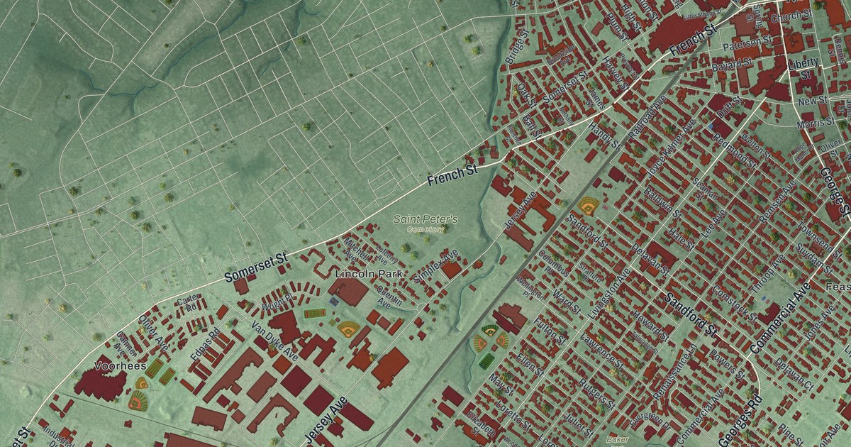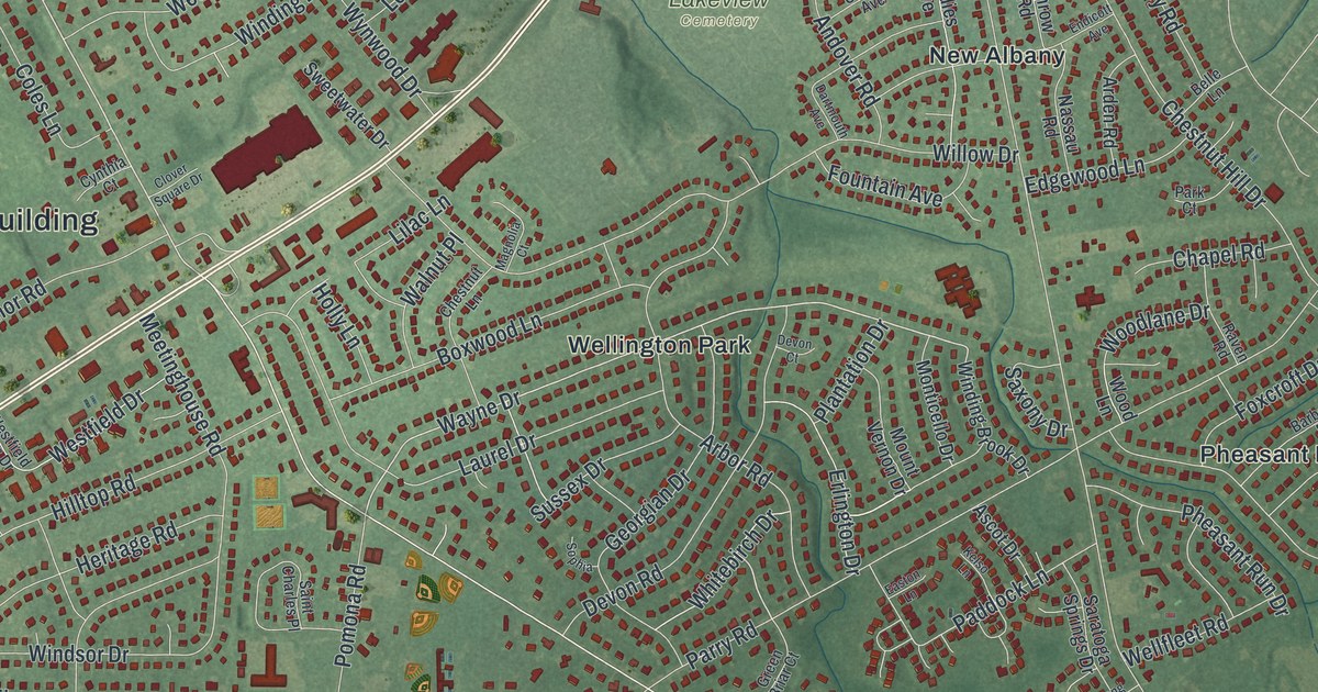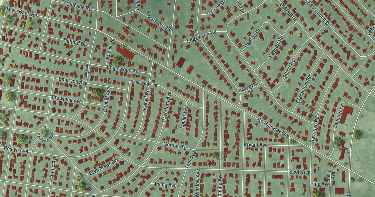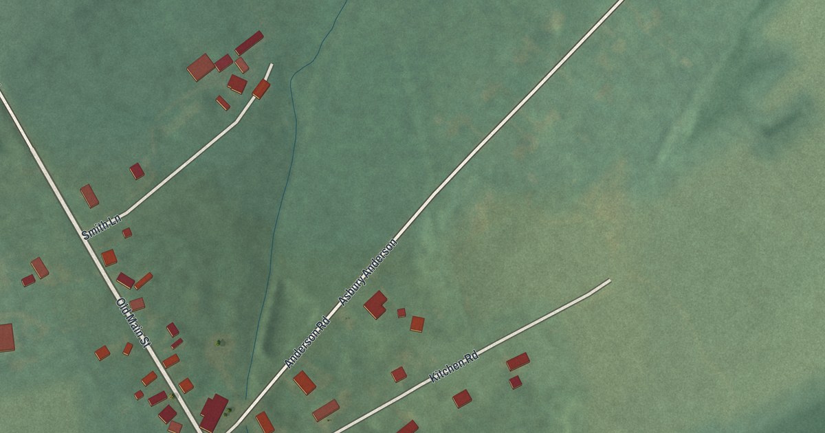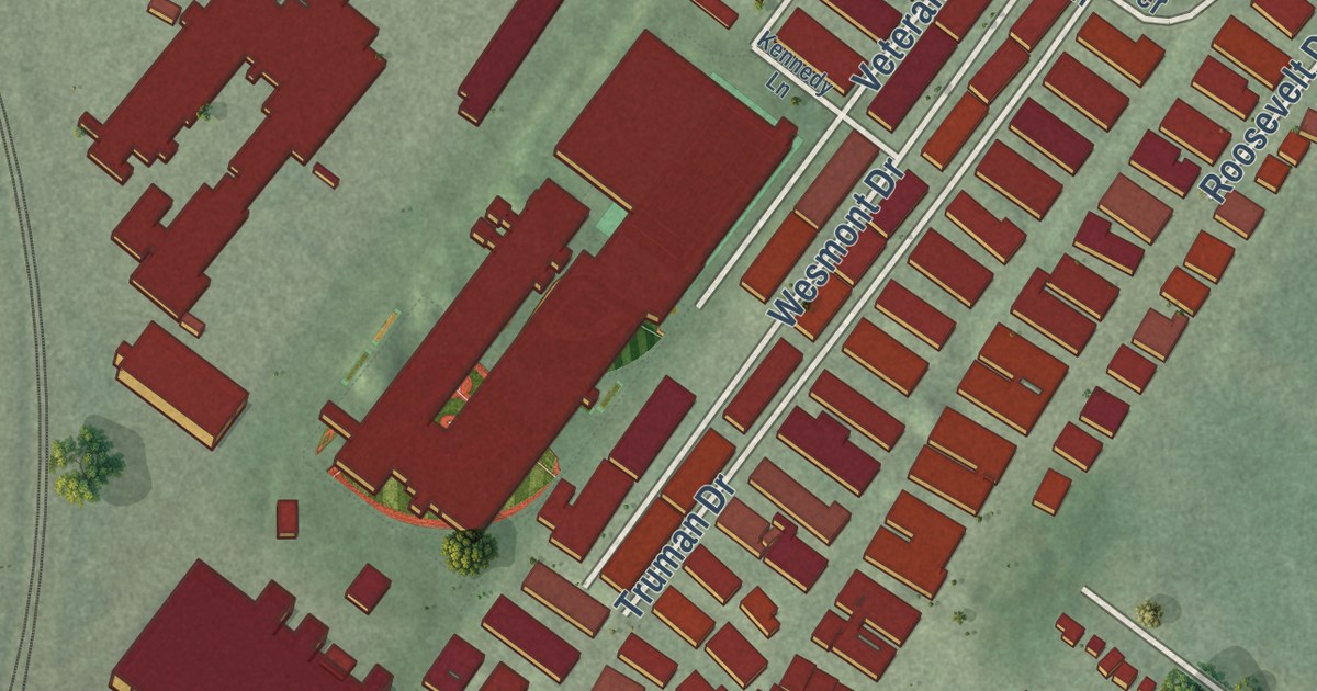
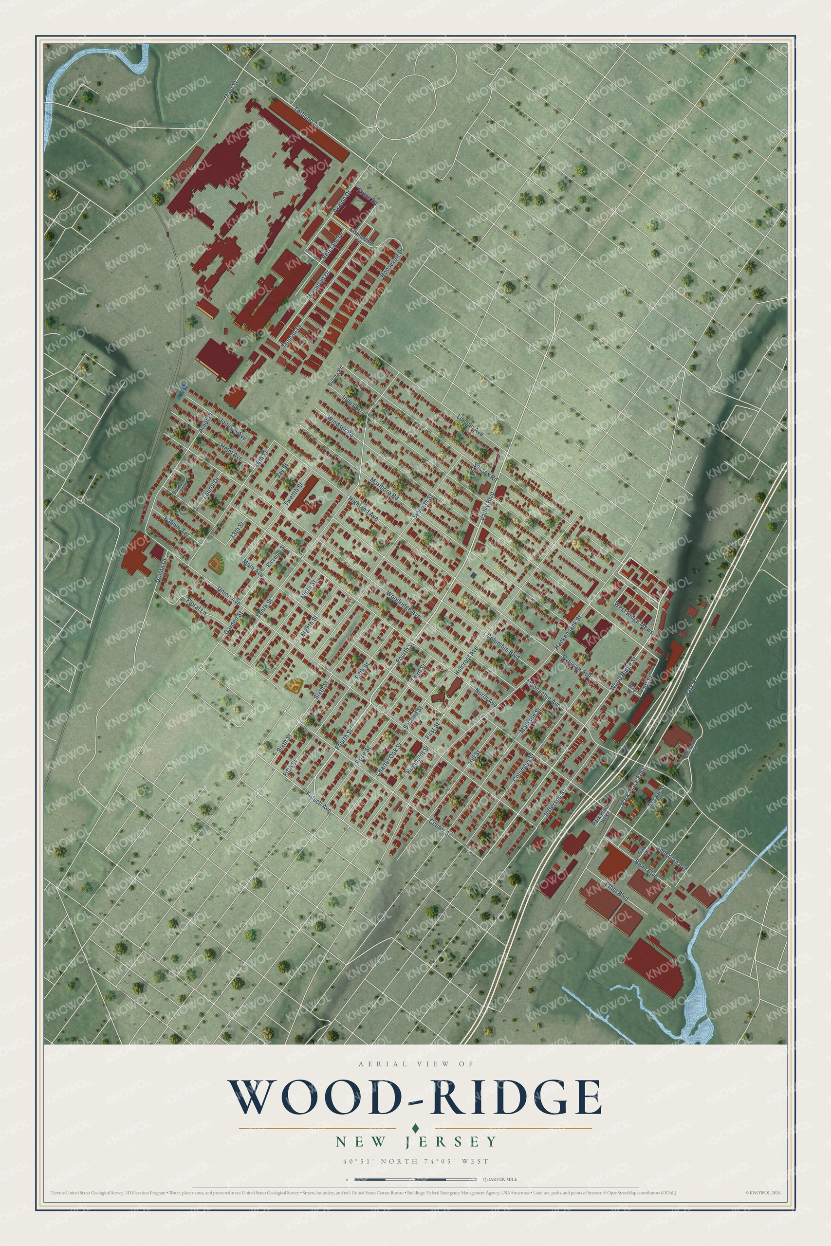
This beautifully detailed map of Wood-Ridge, New Jersey was created in 2026 using aerial imagery combined with modern topographical, census, street and landmark data. It’s a one-of-a-kind view of Wood-Ridge that combines accurate data with a vintage aesthetic. The map shows every building in its true location, many of the roads carry their names, and the shaded topographic relief shows the shape of the land.
Explore an aerial view of Wood-Ridge, New Jersey
On the map you’ll find West Ridge Mews and Park Place, along with Hackensack Street, Fourth Street, Wood Ridge Street, and more. If you look closely you can even find your house accurately drawn in its correct location. Zoom in on the preview to look for yours.
Did You Know?
The borough is named for a wooded ridge that stretches parallel with the Palisades from Rutherford to Hackensack. George Brinkerhoff, who came from Holland, took up the 200 acres where the village stands. In 1870, Frederick Kohbertz laid out the town and set out to make it a model village of country homes. That’s from the 1900 History of Bergen County, New Jersey.
Take a closer look at the Wood-Ridge map
Names on this map
These names are printed on this map.
Streets and roads: Hackensack Street, West Ridge Mews, Fourth Street, Valley Boulevard, Wood Ridge Street, Park Place, Park Place East, Windsor Road, Terhune Avenue, Cliff Street, Fritsch Avenue, Union Avenue.
More street names, A to Z
13th Street, 14th Street, Anderson Avenue, Arnot Place, Avalon Drive, Berger Street, Blum Boulevard, Burma Road, Burnett Place, Center Street, Charter Oak Street, Columbia Boulevard, Columbia Street, Donna Drive, Eighth Street, Eisenhower Lane, Eleventh Street, Ethel Boulevard, Fifth Street, First Street, Floral Lane, Garden Street, Helm Avenue, Highland Avenue, Hillcrest Avenue, Hill Street, Humboldt Street, Industrial Avenue, Innes Road, Jay Street, Jefferson Street, Jocelyn Avenue, Kennedy Lane, Laurel Drive, Lincoln Avenue, Madison Street, Main Avenue, Main Street, Marlboro Road, Moonachie Avenue, Ninth Street, North Avenue, Oak Street, Palmer Terrace, Park Place West, Roosevelt Drive, Rose Street, Rosie Square, Ryerson Avenue, Second Street, Seventh Street, Sixth Street, Sussex Road, Tenth Street, Third Street, Truman Drive, Twelfth Street, Veterans Drive, Way Street, Wesmont Drive, Woodridge Avenue.
See it on a wall
The Wood-Ridge map as an 18 x 24 inch print in a black frame.

This beautifully detailed map of Wood-Ridge makes an attractive addition to your office, library, or den, and it can even be used to teach children the geography and history of the area. It also makes a great gift for anyone with Wood-Ridge roots. When you’re done exploring, click here to get your copy of the Wood-Ridge map.