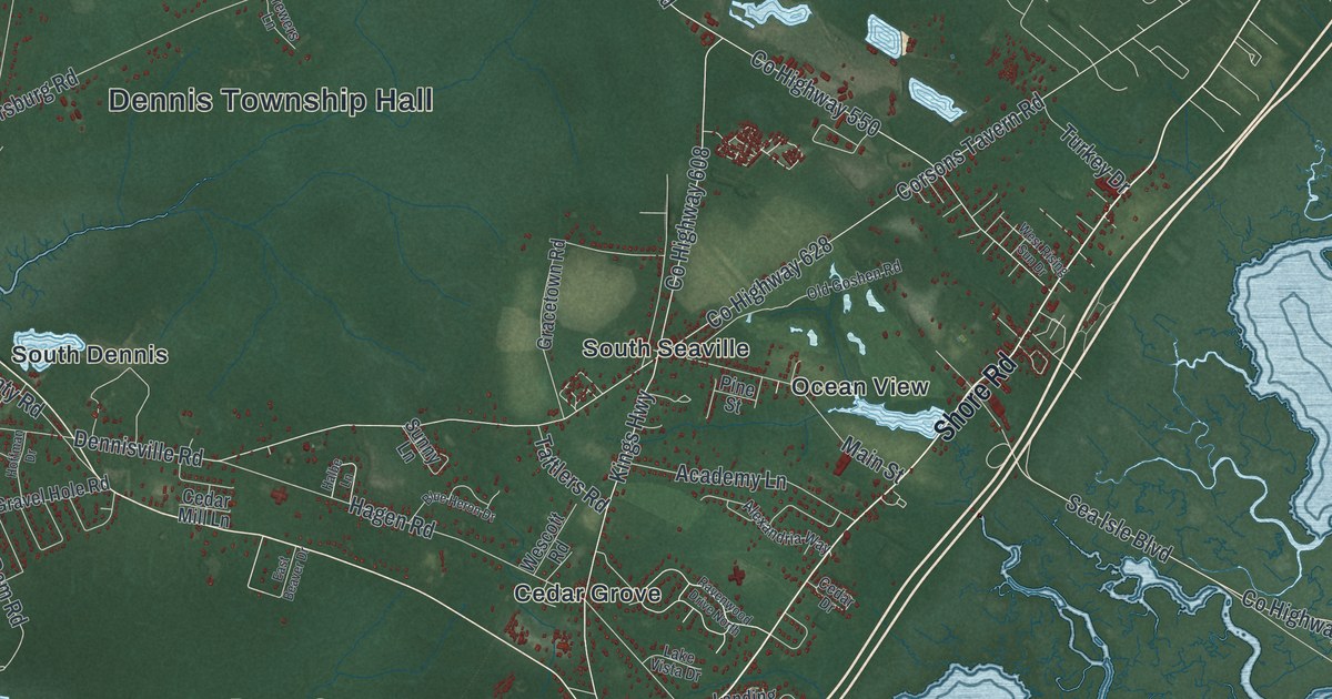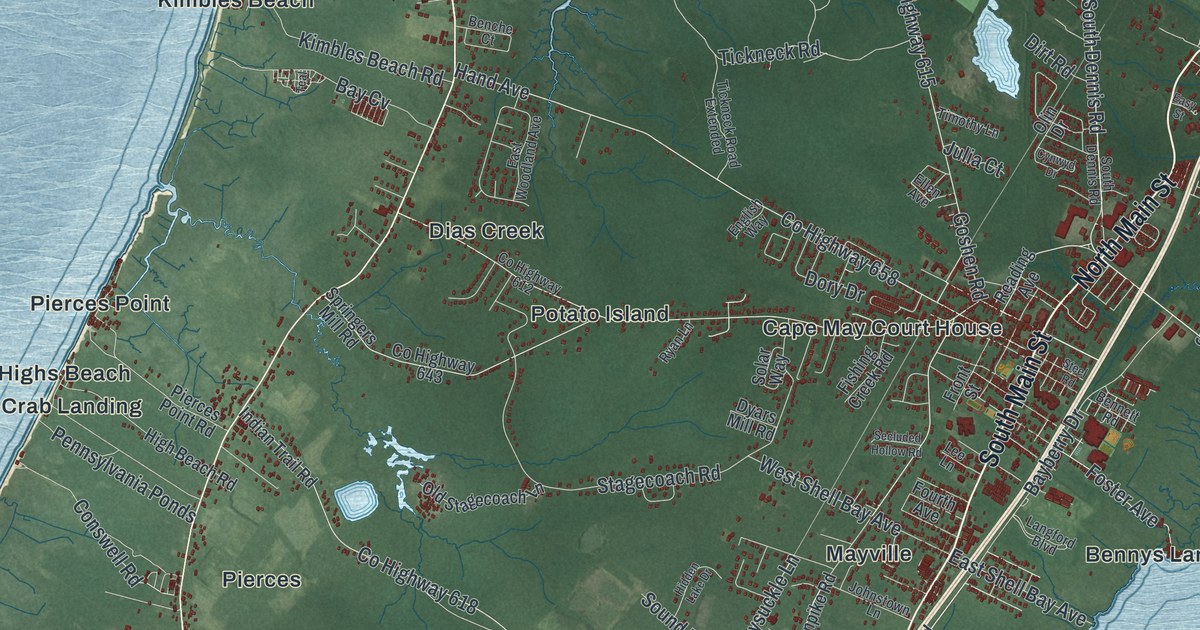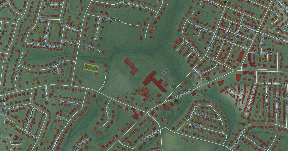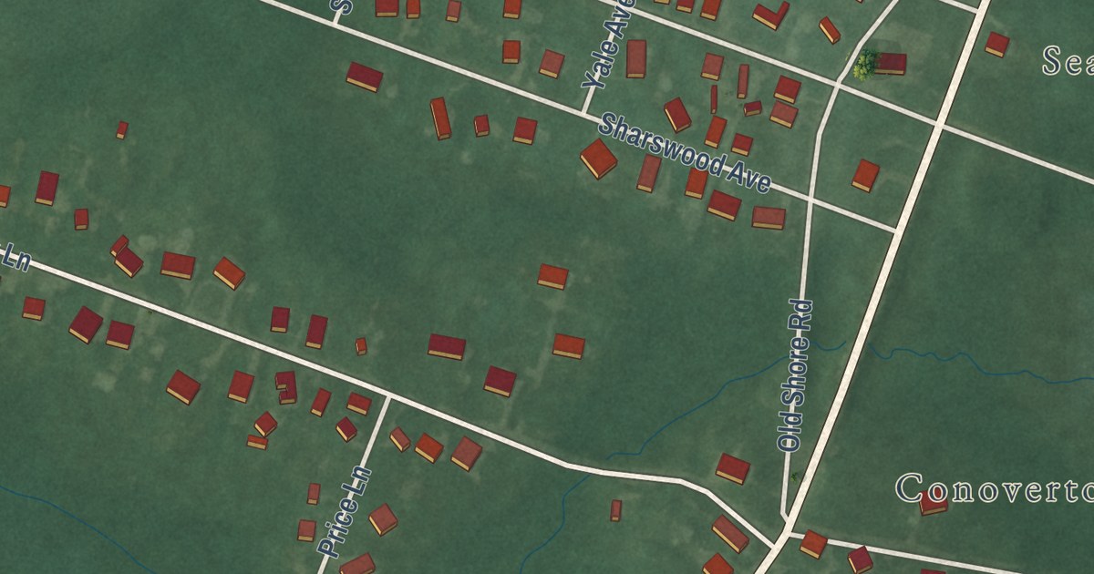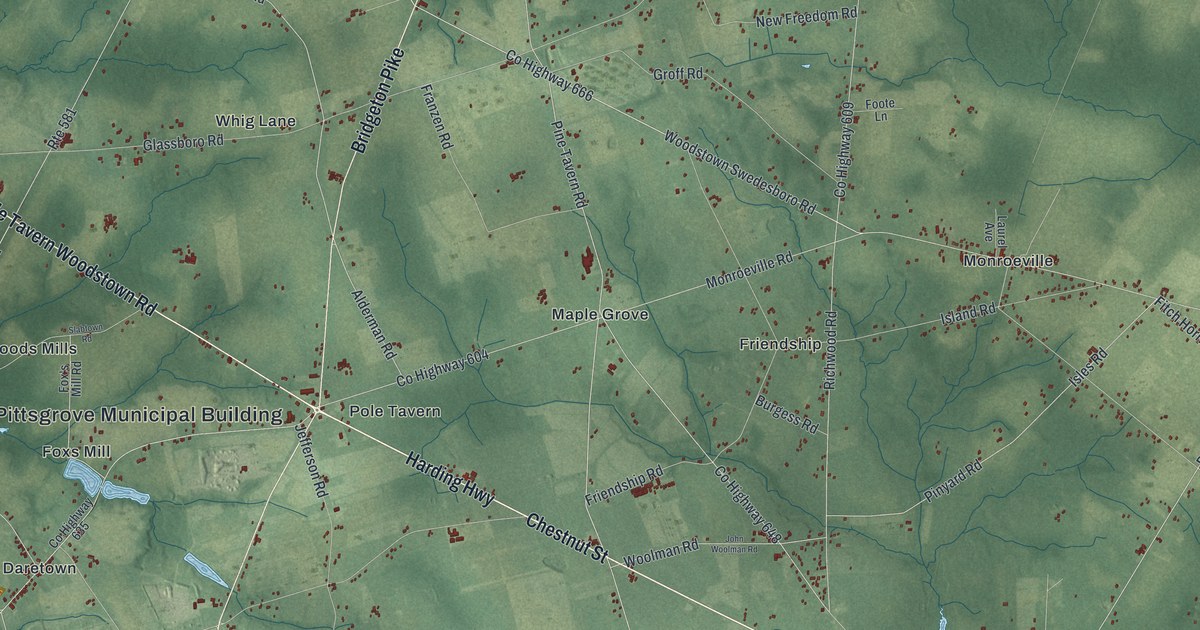
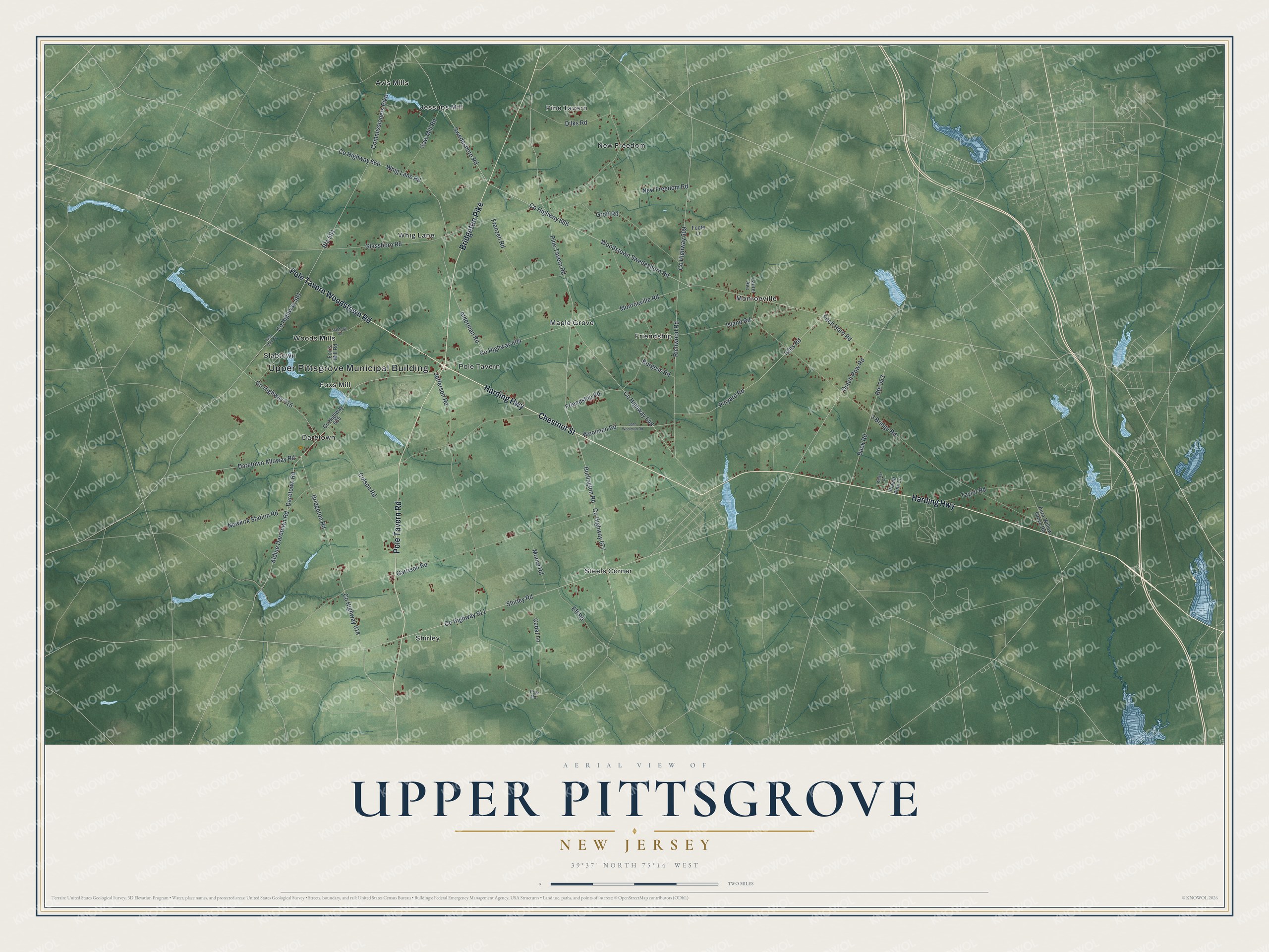
This beautifully detailed map of Upper Pittsgrove, New Jersey was created in 2026 using aerial imagery combined with modern topographical, census, street and landmark data. It’s a one-of-a-kind view of Upper Pittsgrove that combines accurate data with a vintage aesthetic. The map shows every building in its true location, many of the roads carry their names, and the shaded topographic relief shows the shape of the land.
Explore an aerial view of Upper Pittsgrove, New Jersey
On the map you’ll find Upper Pittsgrove Municipal Building, Avis Mills, Daretown, Foxs Mill, Friendship, and Jessups Mill, along with Harding Highway, Pole Tavern Road, Bridgeton Pike, Chestnut Street, and more. If you look closely you can even find your house accurately drawn in its correct location. Zoom in on the preview to look for yours.
Did You Know?
Upper Pittsgrove split off from Pittsgrove Township in 1846. Its name traces back to William Pitt, the Earl of Chatham, a British leader who backed the American colonies. Voters made it a dry town in 1979. Even so, a local winery and a distillery still sell their own drinks.
Take a closer look at the Upper Pittsgrove map
Names on this map
These names are printed on this map.
Places: Upper Pittsgrove Municipal Building, Avis Mills, Daretown, Foxs Mill, Friendship, Jessups Mill, Maple Grove, Monroeville, New Freedom, Pine Tavern, Pole Tavern, Shirley, Slabtown, Steels Corner, Whig Lane and Woods Mills.
Streets and roads: Harding Highway, Pole Tavern Road, Bridgeton Pike, Chestnut Street, Pole Tavern Woodstown Road, Shirley Road, County Highway 677, Dilks Road, Dutch Row Road, County Highway 666, Woodstown Swedesboro Road, Fitch Horn Road.
More street names, A to Z
3 Bridge Road, Alderman Road, Aldine Daretown Road, Aura-Willow Grove Road, Bridgeton Road, Buck Road, Burgess Road, Burlington Road, Cedar Lane, Colson Road, Commissioners Pike, County Highway 581, County Highway 604, County Highway 609, County Highway 611, County Highway 614, County Highway 615, County Highway 635, County Highway 648, County Highway 660, Daretown Alloway Road, Daretown Road, East Main Street, Eft Road, Foote Lane, Fox's Mill Road, Franzen Road, Friendship Road, Garrison Road, Glassboro Road, Groff Road, Island Road, Isles Road, Jefferson Road, John Woolman Road, Laurel Avenue, Monroeville Road, Moore Road, New Freedom Road, Newkirk Station Road, Pine Tavern Road, Pinyard Road, Placid Pine Lane, Pole Road, Richwood Road, Route 553, Route 581, Saw Mill Road, Slabtown Road, Swedesboro Road, Taylor Road, Welker Drive, Whig Lane Road, Woolman Road.
See it on a wall
The Upper Pittsgrove map as an 18 x 24 inch print in a black frame.

This beautifully detailed map of Upper Pittsgrove makes an attractive addition to your office, library, or den, and it can even be used to teach children the geography and history of the area. It also makes a great gift for anyone with Upper Pittsgrove roots. When you’re done exploring, click here to get your copy of the Upper Pittsgrove map.