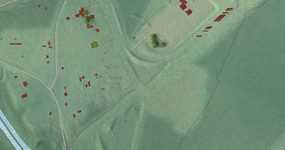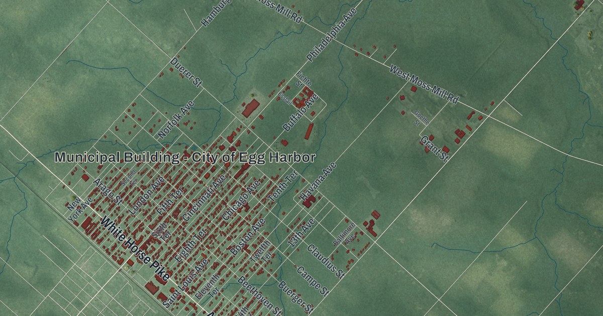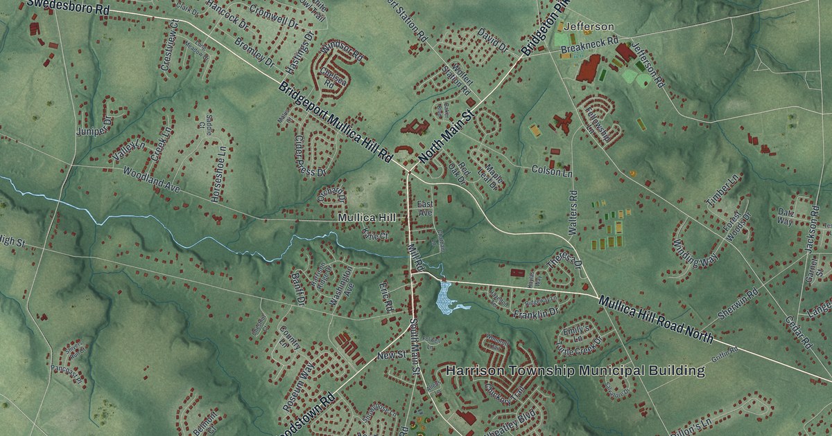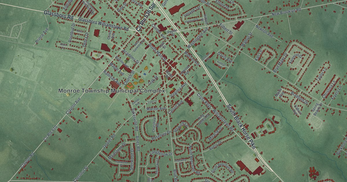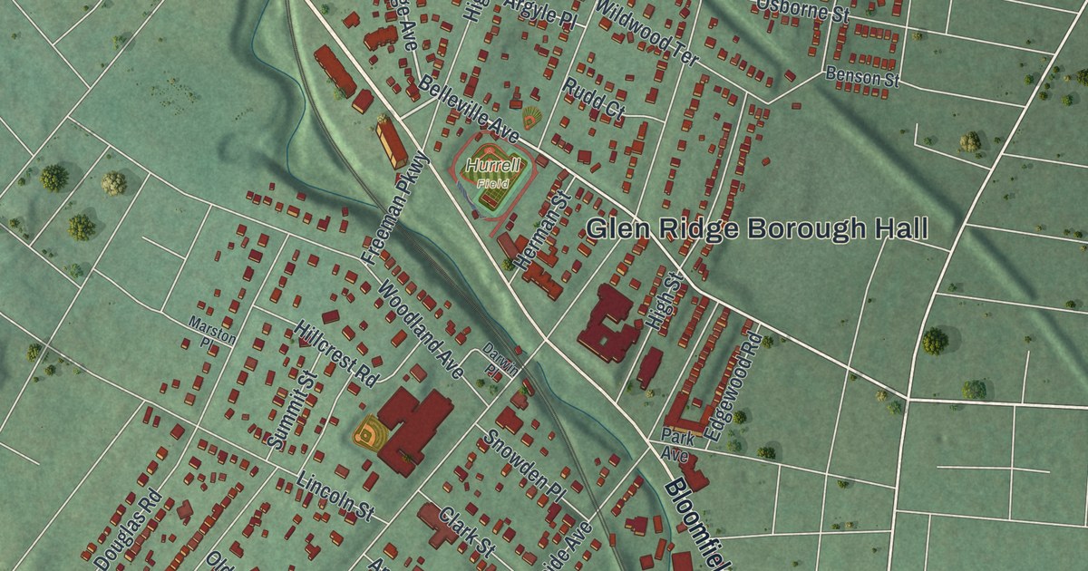
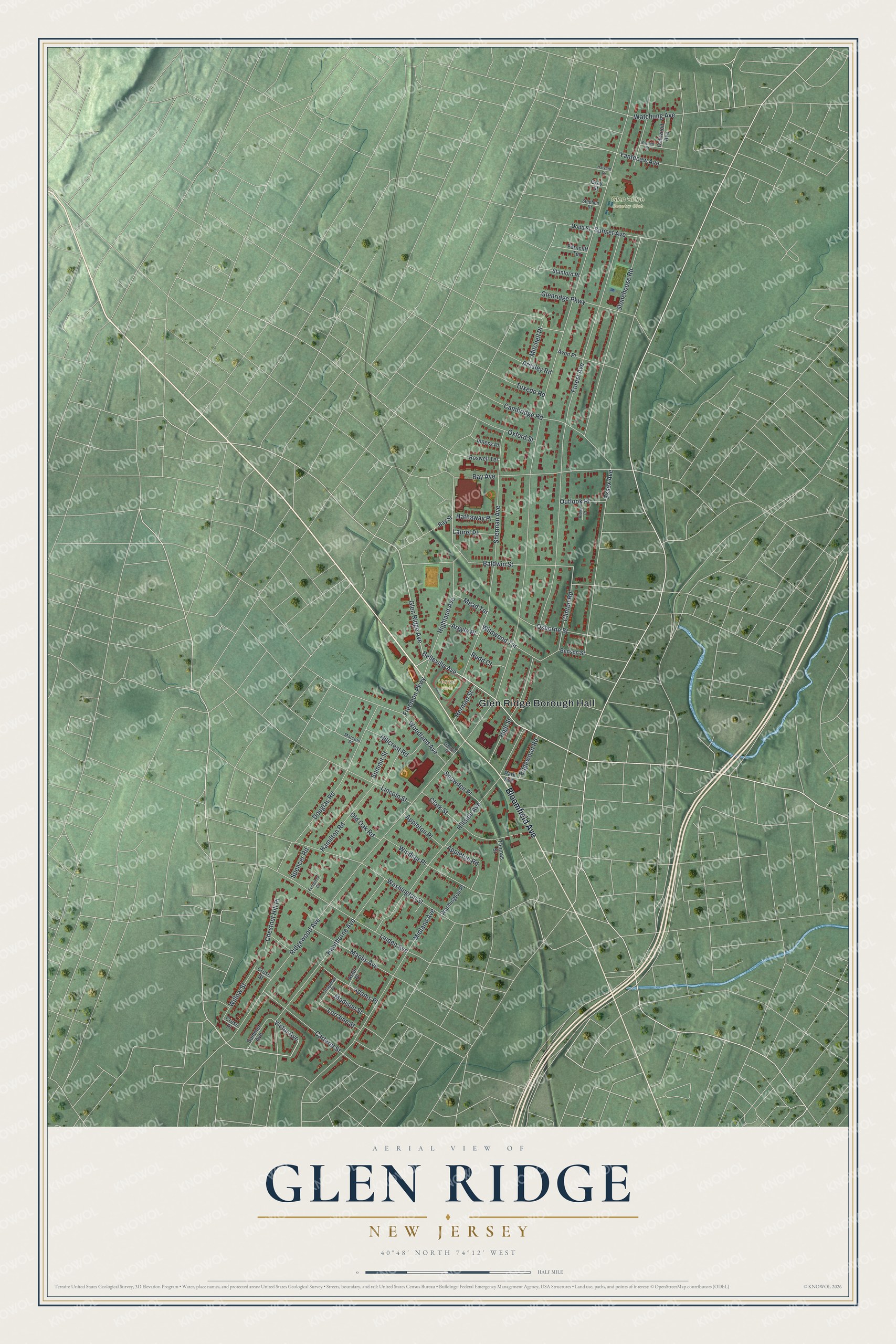
This beautifully detailed map of Glen Ridge, New Jersey was created in 2026 using aerial imagery combined with modern topographical, census, street and landmark data. It’s a one-of-a-kind view of Glen Ridge that combines accurate data with a vintage aesthetic. The map shows every building in its true location, many of the roads carry their names, and the shaded topographic relief shows the shape of the land.
Explore an aerial view of Glen Ridge, New Jersey
On the map you’ll find Glen Ridge Borough Hall, Glen Ridge Country Club, and Hurrell Field, along with Bloomfield Avenue, Belleville Avenue, Victor Avenue, Glen Ridge Avenue, Highland Avenue, Ridgewood Avenue, Forest Avenue, Hillside Avenue, Sherman Avenue, and more. If you look closely you can even find your house accurately drawn in its correct location. Zoom in on the preview to look for yours.
Did You Know?
Glen Ridge was once the hilltop section of Bloomfield. Residents there had unpaved roads, no water or sewers, and schools miles away. In a vote on February 12, 1895, they chose to break away by 23 votes. Robert Rudd became the first mayor.
Take a closer look at the Glen Ridge map
Names on this map
These names are printed on this map.
Places: Glen Ridge Borough Hall, Glen Ridge Country Club and Hurrell Field.
Streets and roads: Bloomfield Avenue, Belleville Avenue, Victor Avenue, Glen Ridge Avenue, Highland Avenue, Ridgewood Avenue, Forest Avenue, Hillside Avenue, Sherman Avenue, Hawthorne Avenue, Baldwin Street, Stonehouse Road.
More street names, A to Z
Adams Place, Appleton Place, Appleton Road, Ardsley Road, Argyle Place, Astor Place, Avon Place, Bay Avenue, Bay Street, Benson Street, Burnett Street, Cambridge Road, Carteret Street, Chapman Place, Chestnut Hill Place, Clark Street, Clinton Road, Cross Place, Cross Street, Darwin Place, Dodd Street, Douglas Road, Edgewood Road, Essex Avenue, Evergreen Court, Ferncliff Terrace, Freeman Parkway, Glenridge Parkway, Gray Street, Hamilton Road, Harvard Street, Hathaway Place, Herman Street, High Street, Hillcrest Road, Inness Place, Laurel Place, Lincoln Street, Linden Avenue, Lorraine Street, Madison Street, Maolis Avenue, Marston Place, Mead Terrace, Midland Avenue, Mitchell Place, Oakwood Avenue, Old Oak Road, Osborne Street, Outlook Place, Oxford Street, Park Avenue, Ridley Court, Roswell Terrace, Rudd Court, Snowden Place, Sommer Avenue, Spencer Road, Stanford Place, Stephen Street, Summit Street, Sunset Avenue, Thomas Street, Tuxedo Road, Washington Place, Washington Street, Watchung Avenue, Wildwood Terrace, Willow Street, Windsor Place, Woodland Avenue, Yantecaw Avenue.
See it on a wall
The Glen Ridge map as an 18 x 24 inch print in a black frame.

This beautifully detailed map of Glen Ridge makes an attractive addition to your office, library, or den, and it can even be used to teach children the geography and history of the area. It also makes a great gift for anyone who grew up in Glen Ridge or moved away. When you’re done exploring, click here to get your copy of the Glen Ridge map.