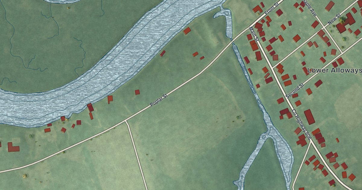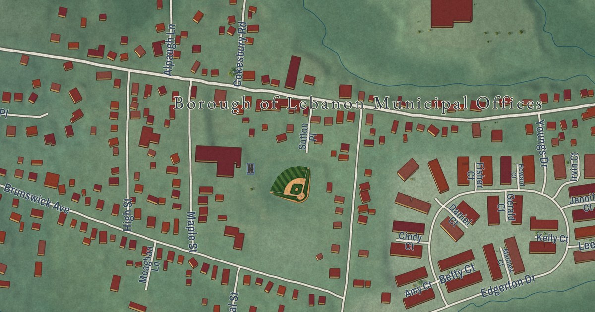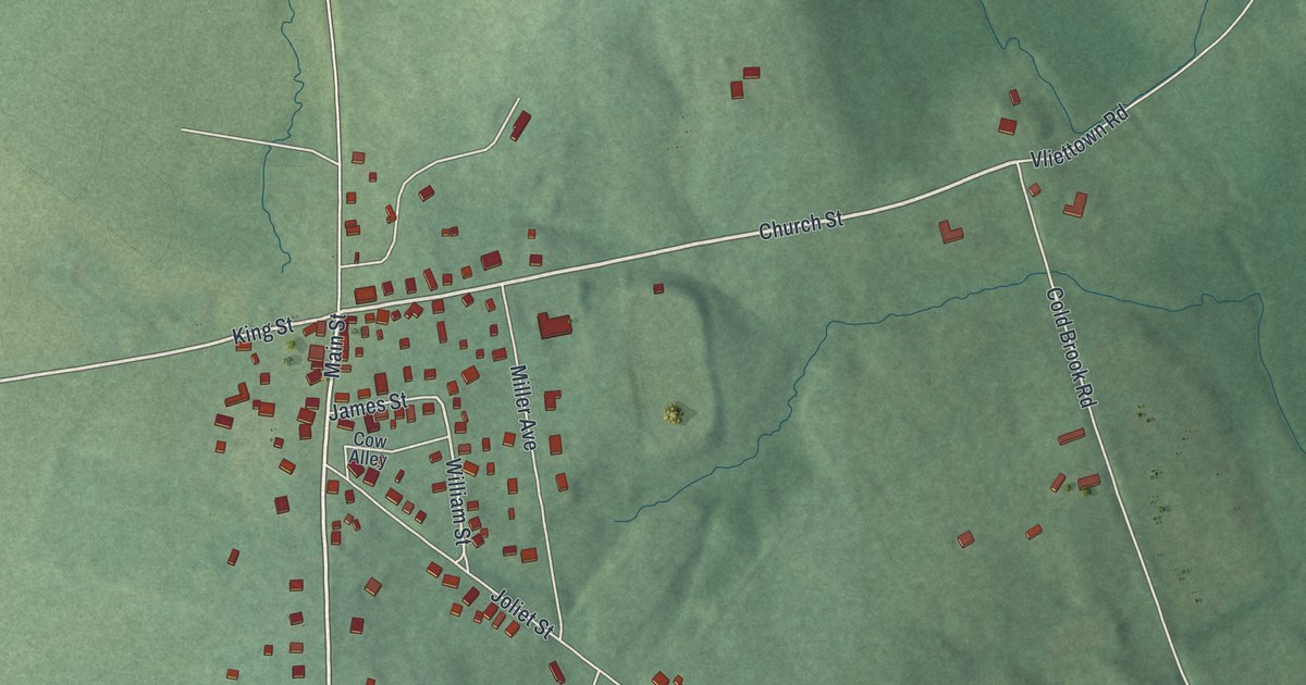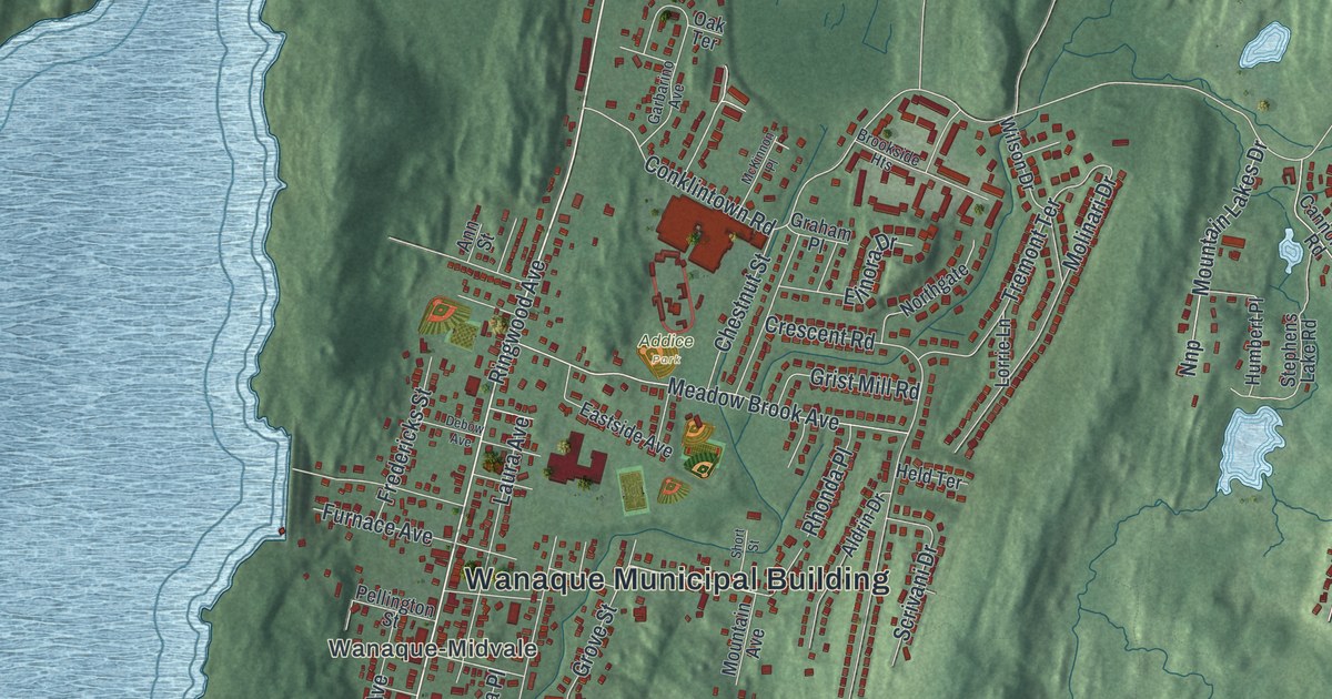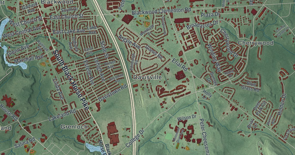
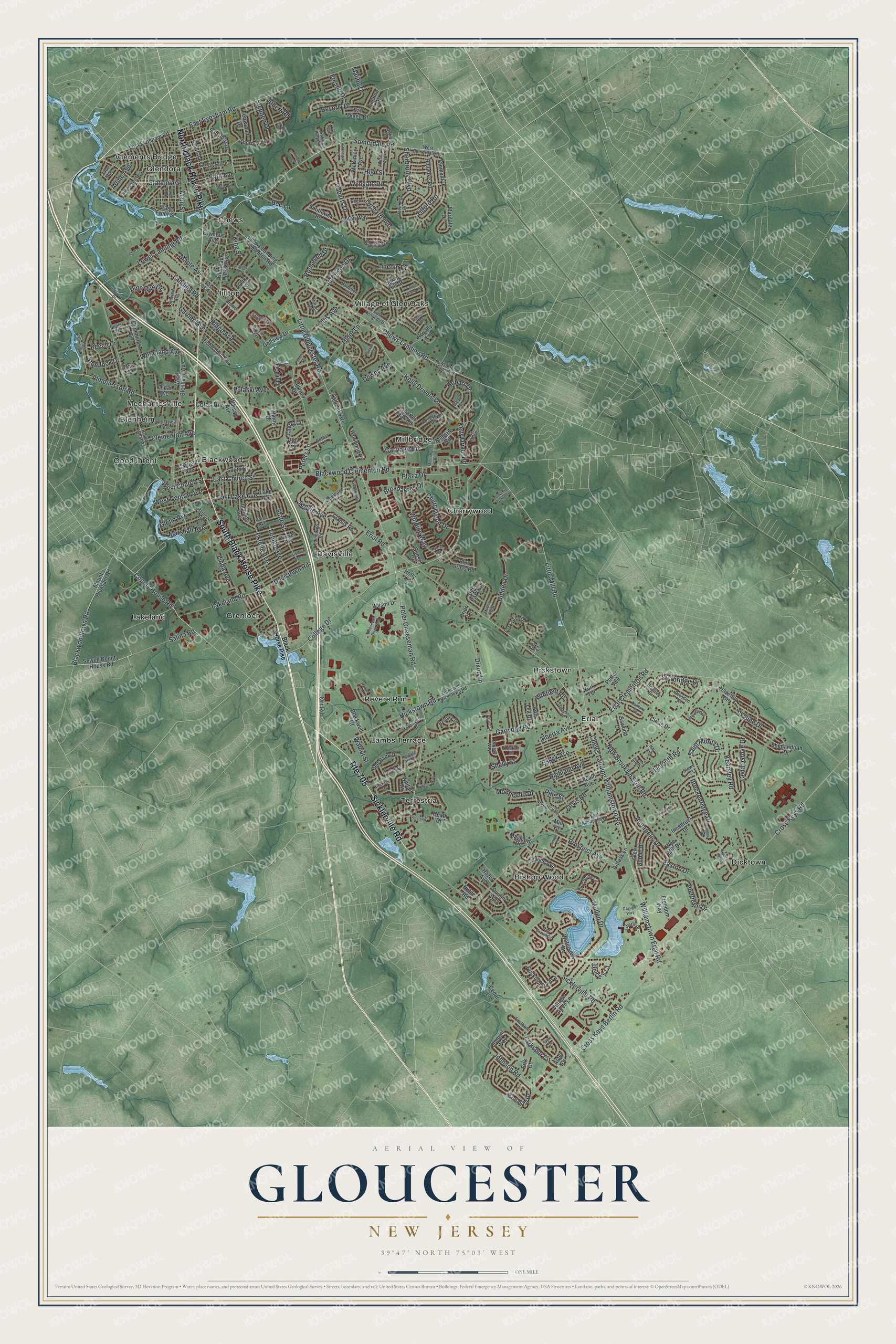
This beautifully detailed map of Gloucester, New Jersey was created in 2026 using aerial imagery combined with modern topographical, census, street and landmark data. It’s a one-of-a-kind view of Gloucester that combines accurate data with a vintage aesthetic. The map shows every building in its true location, many of the roads carry their names, and the shaded topographic relief shows the shape of the land.
Explore an aerial view of Gloucester, New Jersey
On the map you’ll find Bishop Wood, Blackwood, Blenheim, Cherrywood, Chews, Clements Bridge, Davisville, Dicktown, Erial, Glendora, Good Intent, Grenloch, and more. If you look closely you can even find your house accurately drawn in its correct location. Zoom in on the preview to look for yours.
Did You Know?
The Daveis Tavern House in Glendora was built in 1756. Boatmen stayed there while they shipped goods to Philadelphia on Big Timber Creek. During the Revolution, George Washington named it a hospital. It has been restored as the township’s historical centerpiece.
Take a closer look at the Gloucester map
Names on this map
These names are printed on this map.
Places: Bishop Wood, Blackwood, Blenheim, Cherrywood, Chews, Clements Bridge, Davisville, Dicktown, Erial, Glendora, Good Intent, Grenloch, Hickstown, Hilltop, Lakeland, Lambs Terrace, Mechanicsville, Millbridge, Revere Run, Terrestria and Village of Glen Oaks.
Streets and roads: South Black Horse Pike, Route 705, Sicklerville Road, North Black Horse Pike, Little Gloucester Road, College Drive, Little Mill Road, Chews Landing Road, Peter Cheeseman Road, Somerdale Road, Station Avenue, West Church Street.
More street names, A to Z
Aberdeen Drive, Alberta Avenue, Albert Road, Almonesson Road, Annapolis Drive, Argyle Avenue, Arline Avenue, Arlington Road, Aspen Road, Aster Drive, Autumn Court, Beech Drive, Bee Lane, Bethel Lane, Beverly Drive, Black Horse Pike, Blackwell Court, Blackwood Clementon Road, Blackwoodtown Road, Blue Grass Road, Blue Stone Circle, Brantley Way, Breckenridge Drive, Brewer Lane, Briar Lane, Britt Lea Drive, Broadacres Drive, Bromley Drive, Bryce's Court, Carol Avenue, Carriage Road, Cattell Drive, Cayuga Way, Cedar Avenue, Cedar Grove Drive, Cedar Lane, Central Avenue, Charter Oak Road, Cherry Circle, Cherrywood Drive, Chews Landing Clementon Road, Chews Landing Clem Road, Chews Landing Williamstown Road, Chrissy Way, Circle Drive, Clement Drive, Clementon Avenue, Cole Landing Road, Coles Road, Conestoga Road, Country Garden Lane, County House Road, Crestview Avenue, Cross Keys Berlin Road, Cross Keys Road, Cummings Avenue, Danbury Drive, Davistown Road, Dearborne Avenue, Deer Park Circle, Dittess Lane, Dixon Lane, Dorado Road, Doral Drive, Downing Road, Downs Avenue, Dresden Court, Drexel Avenue, Dunlin Way, East Church Street, East Evesham Road, East Front Street, East Kennedy Drive, East Lake Avenue, East Oak Avenue, Easton Drive, Eaton Circle, Eden Lane, Edinburgh Road, Elizabeth Place, Ellis Avenue, Erial Clementon Road, Erial Road, Erik Court, Essex Avenue, Estelle Avenue, Fairview Drive, Fernwood Drive, Fifth Avenue, Firethorn Lane, Fox Chase Drive, Freedom Way, Fresno Drive, Furman Drive, Garden Avenue, Garfield Avenue, Garwood Road, Glamis Road, Glen Burnie Drive, Glen Drive, Glenn Avenue, Golfview Drive, Good Intent Road, Gravers Lane, Greens Way, Hamilton Drive, Hampton Lane, Harbor Lane, Hartford Road, Hazel Avenue, Hazeltop Drive, Heath Court, Hemlock Drive, Heritage Hill Drive, Hickstown Road, Hidden Drive, Hider Lane, Highland Avenue, High Street, Hobart Drive, Holly Lane, Hollyoke Road, Huckleberry Avenue, Hybrid Place, Indiana Avenue, Innsbruck Drive, Jarvis Road, Jefferson Drive, Jerrys Court, Johnson Road, Jonquil Way, Kay Lane, Kearsley Road, Kelly Driver Road, Kelly Drivers Lane, King Street, Knoll Drive, Kristian Drive, La Cascata, La Costa Drive, Laguna Drive, Lake Avenue, Lakeland Road, Lakeview Drive, Landing Road, Lane of Acres, Larkspur Circle, Lee Ann Drive, Lehigh Avenue, Liberty Place, Lincoln Avenue, Lincoln Drive, Linda Avenue, Lisa Drive, Lower Landing Road, Main Street, Malibu Drive, Maple Avenue, Mardale Drive, Marshall Avenue, Maryellen Lane, Maynard Drive, McKinley Avenue, Mercer Drive, Millbridge Road, Mill Court, Millgate Road, Monticello Drive, Morningstar Court, Mount Pleasant Road, Mullen Drive, Murray Way, New Brooklyn Erial Road, Noble Road, Oak Avenue, Oak Street, Old Black Horse Pike, Olympus Avenue, Orchard Avenue, Orr Road, Patriot Court, Pebble Lane, Peters Lane, Pine Run Drive, Pine Street, Plaza Drive, Plymouth Road, Poplar Avenue, Porter Avenue, Price Avenue, Prospect Avenue, Pulaski Avenue, Railroad Avenue, Raintree Drive, Red Bank Drive, Red Gravel Circle, Richmond Avenue, Ridge Avenue, Roberts Drive, Roosevelt Avenue, Roosevelt Drive, Roosevelt Drive East, Royalty Lane, Saint Moritz Drive, Salina Road, San Diego Drive, San Jose Drive, Santalina Drive, Sawood Drive, Sayre Drive, Seventh Avenue, Sewell County House Road, Shelly Street, Shenandoah Drive, Sherbrook Boulevard, Sherri Lane, Skyline Drive, Sofia Drive, South Drive, Southwick Road, Spring Hill Drive, Springlane Drive, Spring Ridge Court, State Street, Stephen Drive, Stewart Avenue, Stonegate Court, Stone River Road, Stowe Court, Sturbridge Drive, Sunset Drive, Sylvan Court, Tall Oaks Drive, Terrestria Lane, Third Avenue, Thorny Lane, Tilford Road, Turnerville Hickstown Road, Upton Way, Vance Avenue, Village Green Lane, Walnut Street, Warsaw Avenue, Waterview Drive, West Annapolis Drive, West Blenheim Avenue, West Central Avenue, West Evesham Road, West Somerdale Road, Whitall Drive, Williamstown Erial Road, Wilson Avenue, Wilson Drive, Winding Way, Windy Drive, Winfield Road, Woodland Avenue, Woodlane Drive, Woodmill Drive, Woodshire Drive, Wye Mill Drive, Wyngate Road, York Terrace, Zane Avenue.
See it on a wall
The Gloucester map as an 18 x 24 inch print in a black frame.

This beautifully detailed map of Gloucester makes an attractive addition to your office, library, or den, and it can even be used to teach children the geography and history of the area. It also makes a great gift for someone who left Gloucester and still calls it home. When you’re done exploring, click here to get your copy of the Gloucester map.