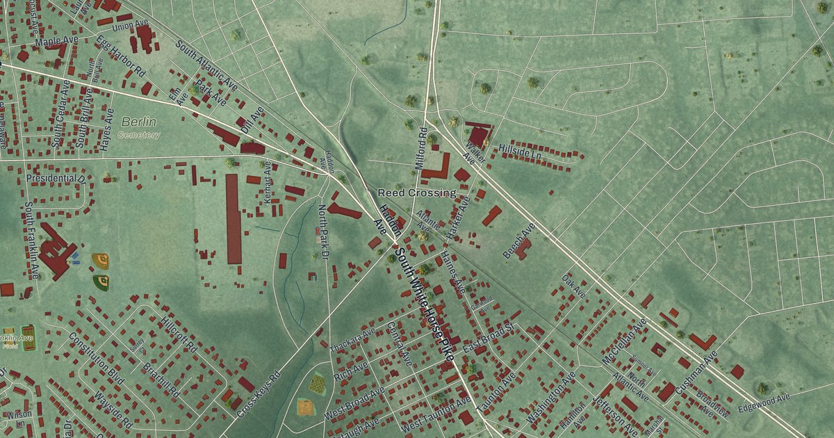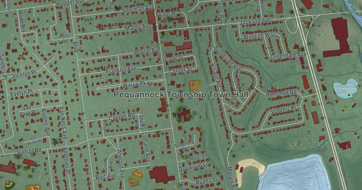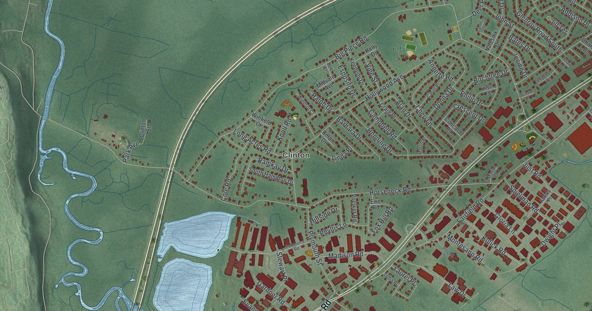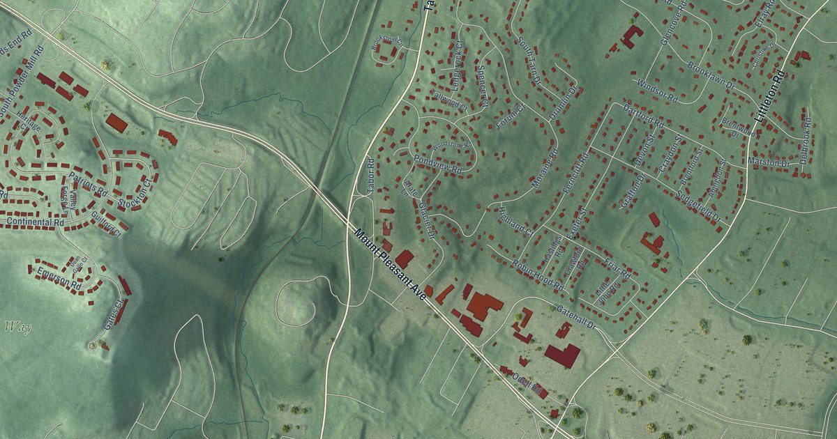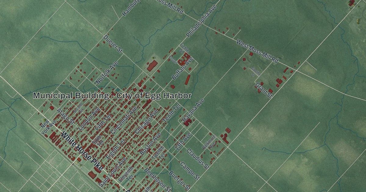
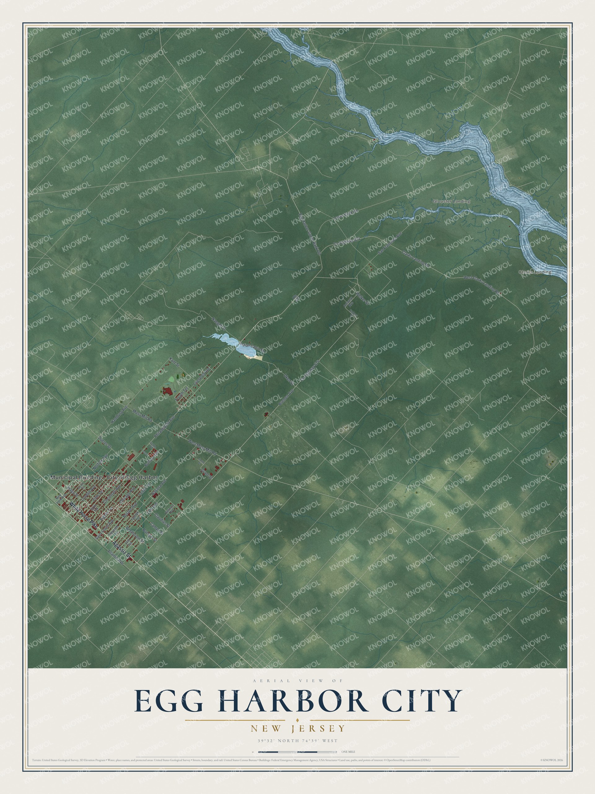
This beautifully detailed map of Egg Harbor City, New Jersey was created in 2026 using aerial imagery combined with modern topographical, census, street and landmark data. It’s a one-of-a-kind view of Egg Harbor City that combines accurate data with a vintage aesthetic. The map shows every building in its true location, many of the roads carry their names, and the shaded topographic relief shows the shape of the land.
Explore an aerial view of Egg Harbor City, New Jersey
On the map you’ll find Municipal Building – City of Egg Harbor, Clarks Landing, and Glouster Landing, along with Agassiz Street, White Horse Pike, Philadelphia Avenue, Buffalo Avenue, Egg Harbor-Green Bank Road, Bremen Avenue, Indian Cabin Road, Boston Avenue, Oken Street, and more. If you look closely you can even find your house accurately drawn in its correct location. Zoom in on the preview to look for yours.
Did You Know?
In 1854 a group of Philadelphia German Americans, among them William and Henry Schmoele, bought about 38,000 acres of woodland. They meant it as a refuge from the anti-immigrant violence of the Know-Nothing movement. The settlement was incorporated as Egg Harbor City in 1858. It stayed a center of German language and culture for more than 50 years.
Take a closer look at the Egg Harbor City map
Names on this map
These names are printed on this map.
Places: Municipal Building - City of Egg Harbor, Clarks Landing and Glouster Landing.
Streets and roads: Agassiz Street, White Horse Pike, Philadelphia Avenue, Buffalo Avenue, Egg Harbor-Green Bank Road, Bremen Avenue, Indian Cabin Road, Boston Avenue, Oken Street, Clarks Landing Road, Chicago Avenue, London Avenue.
More street names, A to Z
13th Avenue, 14th Terrace, Antwerp Avenue, Arago Street, Atlantic Avenue, Baltimore Avenue, Beethoven Street, Buerger Street, Campe Street, Cincinnati Avenue, Claudius Street, County Highway 624, County Highway 674, Duerer Street, Eighth Terrace, Eleventh Terrace, Esslair, Fichte Street, Fifth Terrace, Fourth Terrace, Goethe Street, Grant Street, Hamburg Avenue, Havana Avenue, Kant Street, Liverpool Avenue, Lower Bank Road, Moss Mill Road, Naegeli Street, New York Avenue, Norfolk Avenue, Route 563, Saint Louis Avenue, San Francisco Avenue, Second Terrace, Sixth Terrace, Tenth Terrace, Twelfth Terrace, Umbreit Street, Welker Street, West Clarks Landing Road, West Moss Mill Road.
See it on a wall
The Egg Harbor City map as an 18 x 24 inch print in a black frame.

This beautifully detailed map of Egg Harbor City makes an attractive addition to your office, library, or den, and it can even be used to teach children the geography and history of the area. It also makes a great gift for anyone with Egg Harbor City roots. When you’re done exploring, click here to get your copy of the Egg Harbor City map.