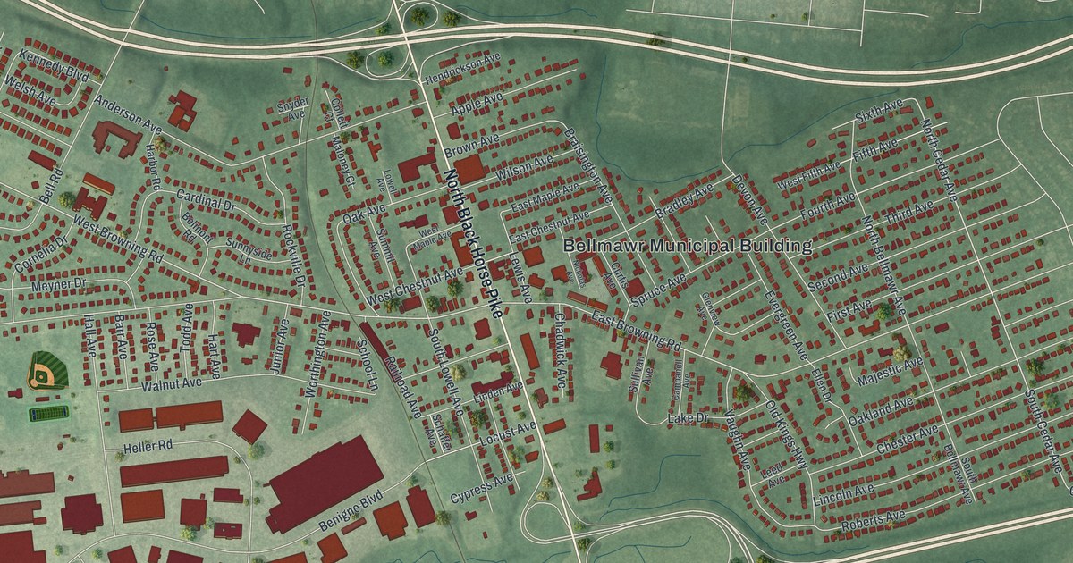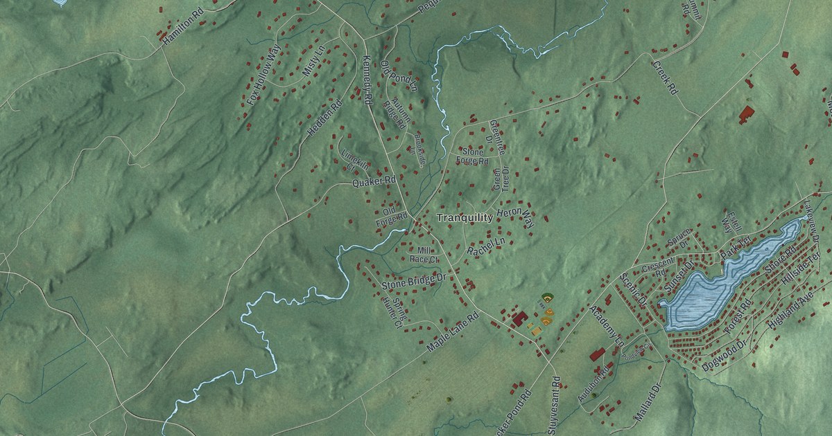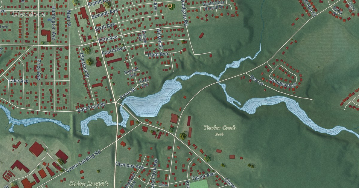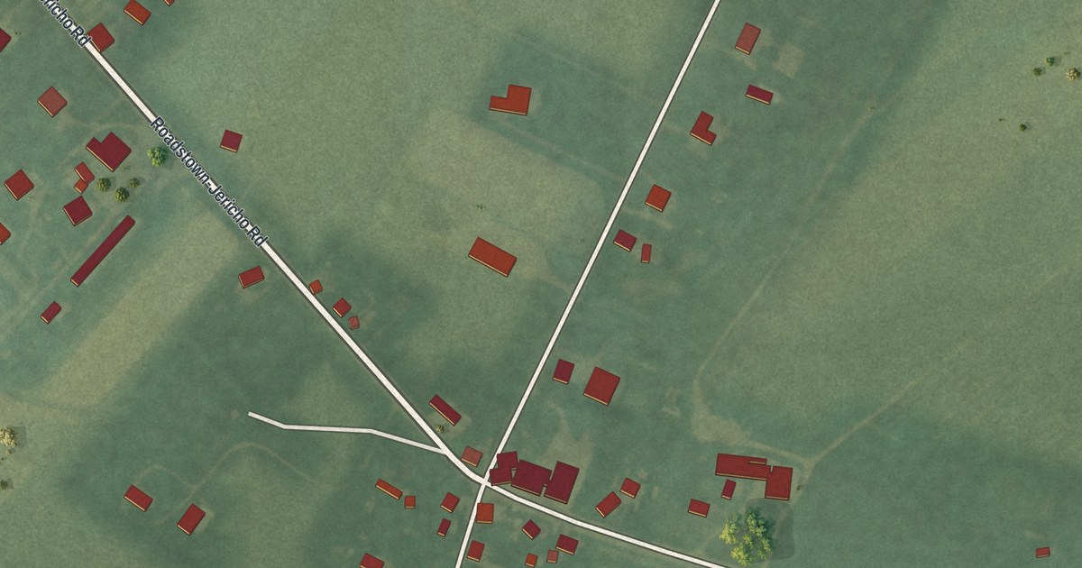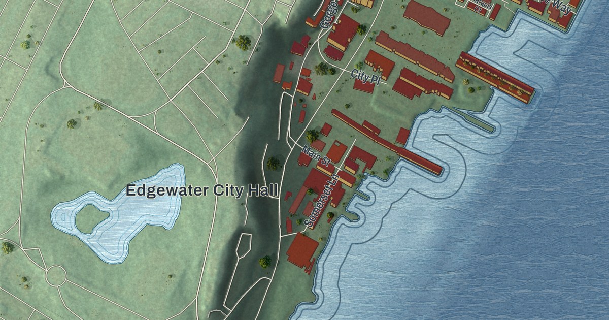
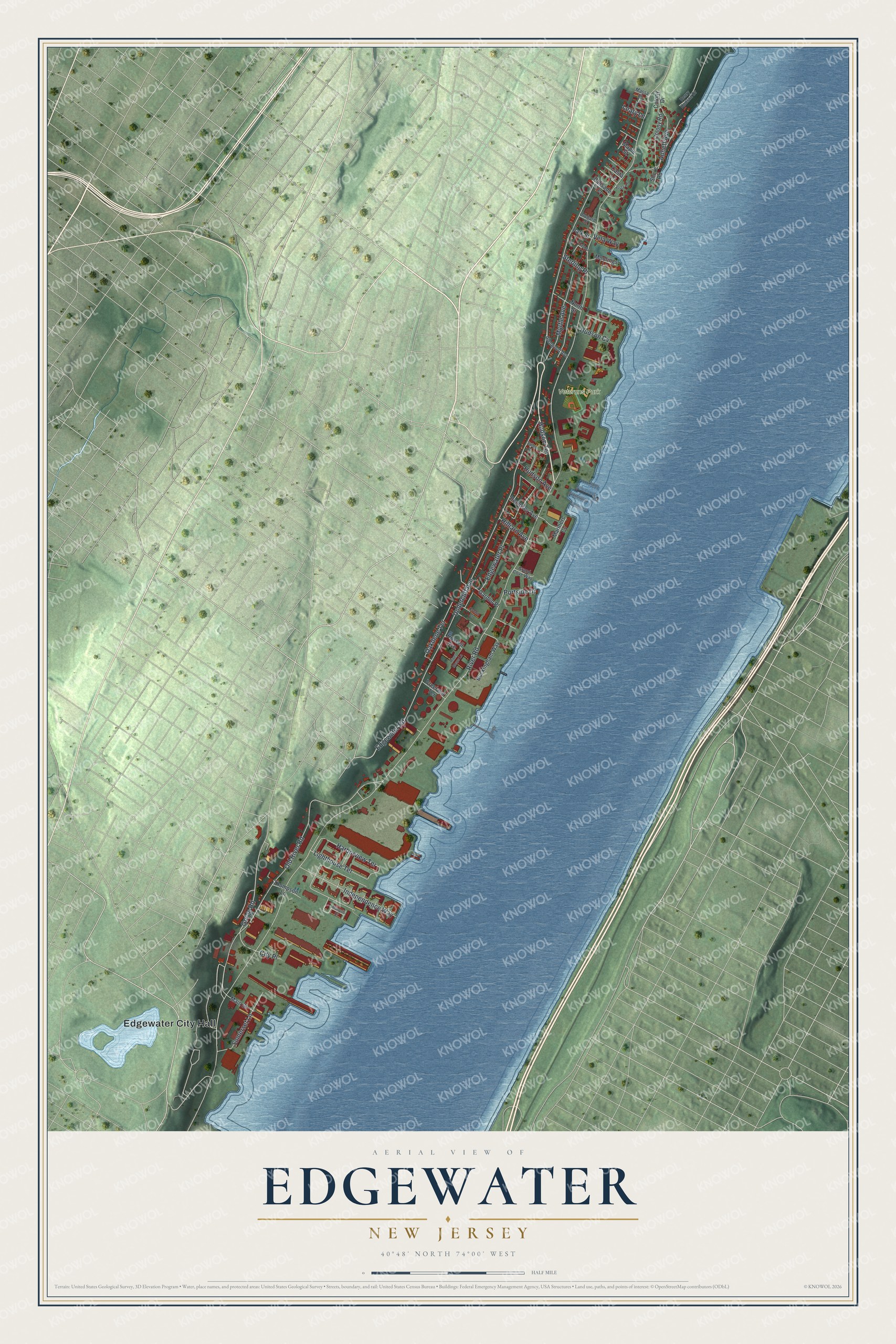
This beautifully detailed map of Edgewater, New Jersey was created in 2026 using aerial imagery combined with modern topographical, census, street and landmark data. It’s a one-of-a-kind view of Edgewater that combines accurate data with a vintage aesthetic. The map shows every building in its true location, many of the roads carry their names, and the shaded topographic relief shows the shape of the land.
Explore an aerial view of Edgewater, New Jersey
On the map you’ll find Edgewater City Hall and Veterans Park, along with Edgewater Road, Gorge Road, River Road, Undercliff Avenue, Old River Road, Independence Way, Harborview Terrace, Annett Avenue, Myrtle Avenue, Somerset Lane, and more. If you look closely you can even find your house accurately drawn in its correct location. Zoom in on the preview to look for yours.
Did You Know?
David Pietersz Devries bought 500 acres from the Tappan people and founded Vriessendael here. A county marker names it the first known colony in Bergen County, begun in 1640. Parts of it were destroyed in 1643 during Kieft’s War, in revenge for massacres of Lenape refugees.
Take a closer look at the Edgewater map
Names on this map
These names are printed on this map.
Places: Edgewater City Hall and Veterans Park.
Streets and roads: Edgewater Road, Gorge Road, River Road, Undercliff Avenue, Old River Road, Independence Way, Harborview Terrace, Annett Avenue, Myrtle Avenue, Somerset Lane, Oakdene Terrace, Edgewater Place.
More street names, A to Z
Buckingham Way, Casta Lane, City Place, Colony Drive, Colony Road, Crown Court, Dempsey Avenue, Garden Place, Glenwood Avenue, Grand Cove Way, Henry Hudson Drive, Hilliard Avenue, Hudson Avenue, Hudson Cv, Hudson Terrace, Lasher Lane, Leary Lane, Lighthouse Terrace, Main Street, Maple Street, Mariners Cv, Marquis Court, Massa Lane, Moorings Lane, North Street, Orchard Street, Palisade Terrace, Park Street, Portside Drive, River Mews Lane, Russell Avenue, Shore Road, Sterling Place, Thompson Lane, Valley Place, Vela Way, Vista Lane, Vreeland Terrace.
See it on a wall
The Edgewater map as an 18 x 24 inch print in a black frame.

This beautifully detailed map of Edgewater makes an attractive addition to your office, library, or den, and it can even be used to teach children the geography and history of the area. It also makes a great gift for someone who left Edgewater and still calls it home. When you’re done exploring, click here to get your copy of the Edgewater map.