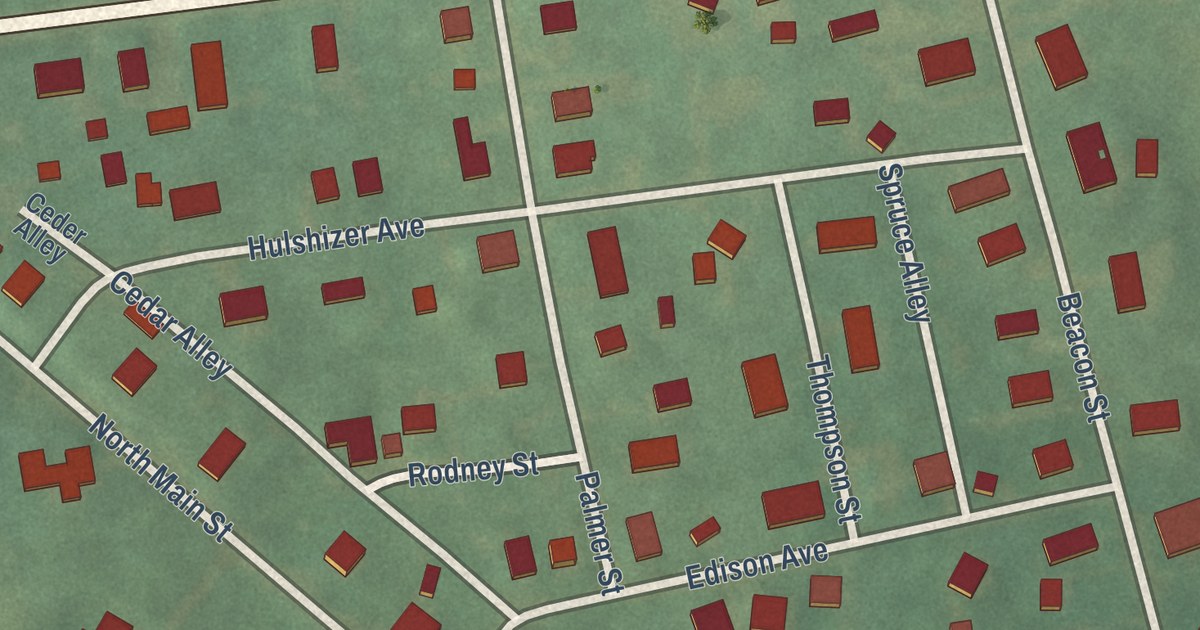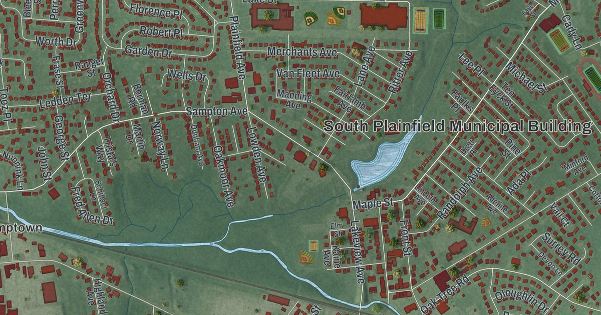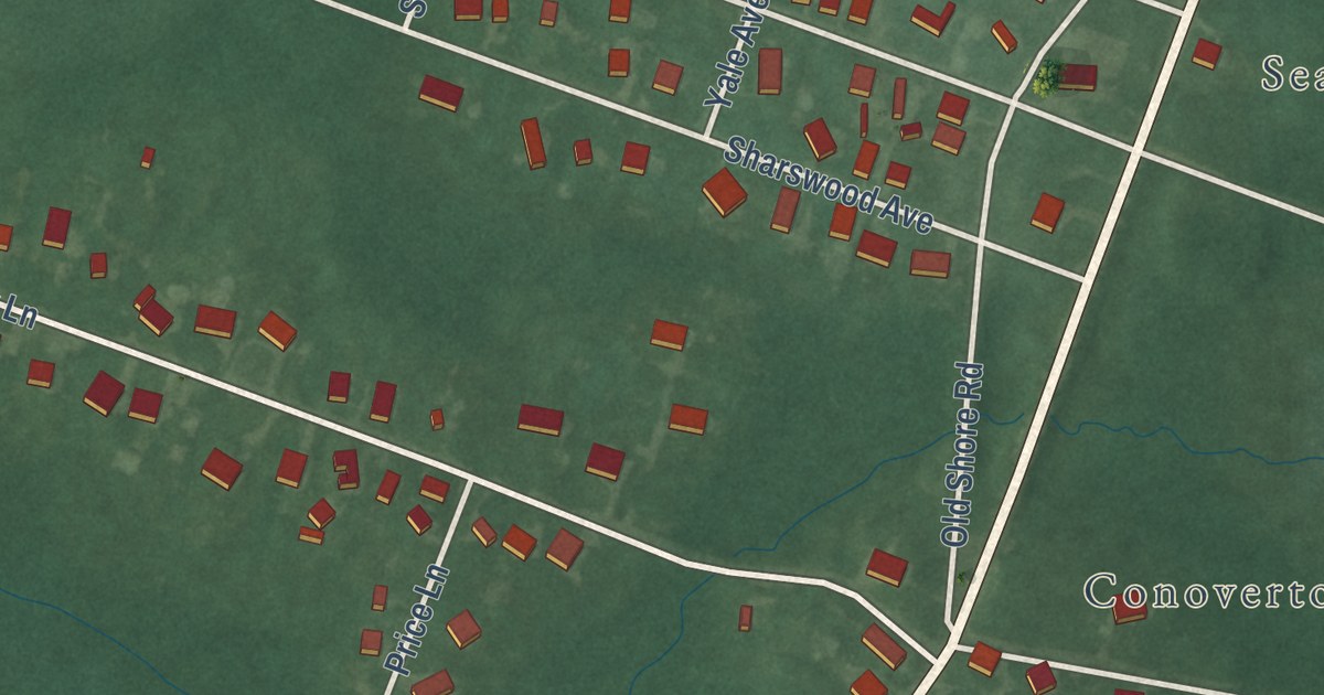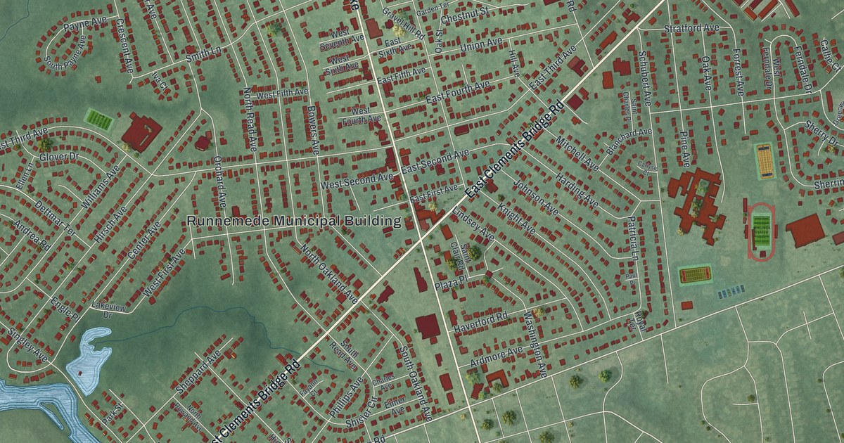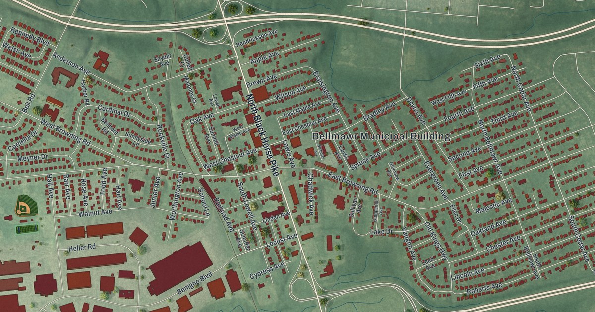
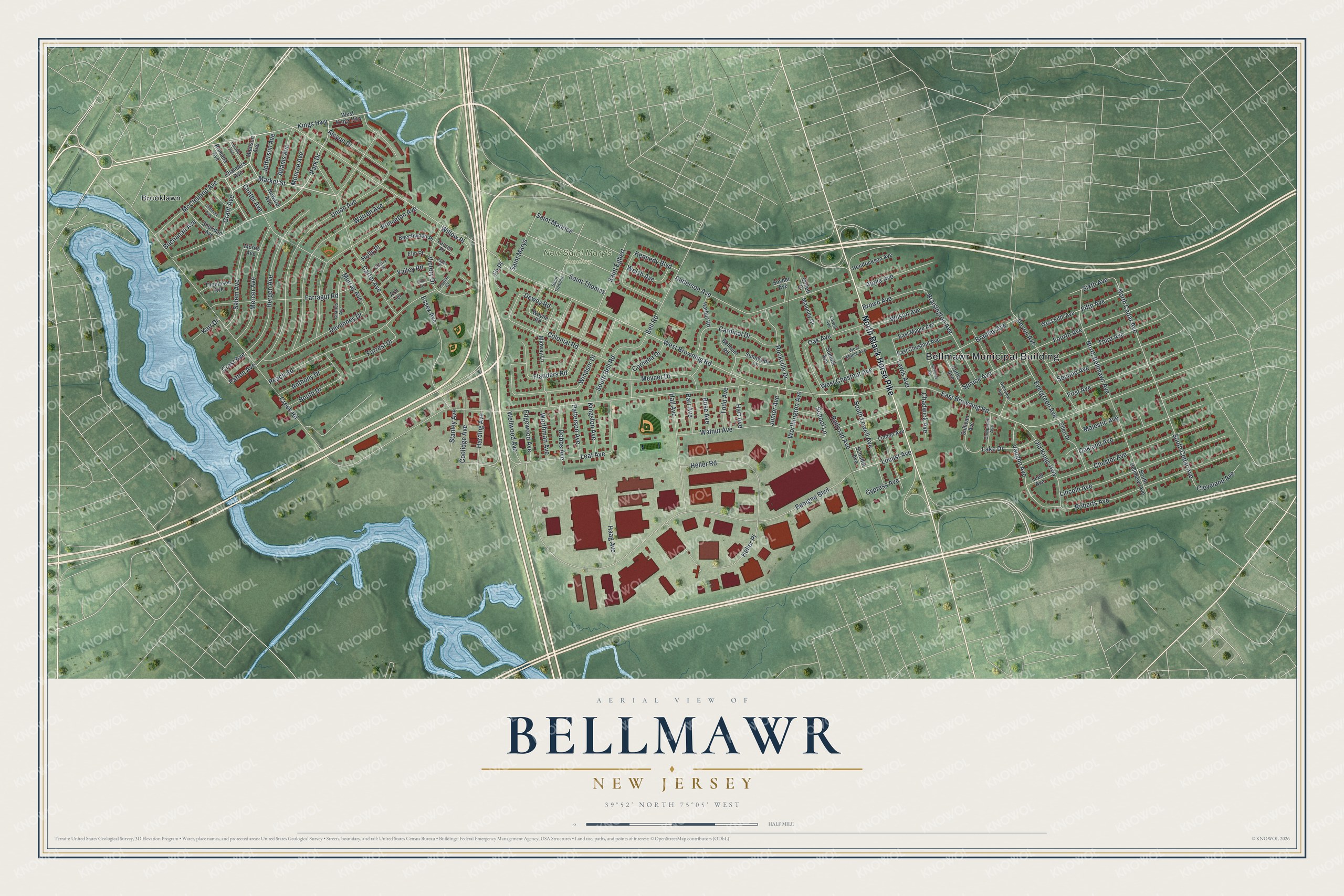
This beautifully detailed map of Bellmawr, New Jersey was created in 2026 using aerial imagery combined with modern topographical, census, street and landmark data. It’s a one-of-a-kind view of Bellmawr that combines accurate data with a vintage aesthetic. The map shows every building in its true location, many of the roads carry their names, and the shaded topographic relief shows the shape of the land.
Explore an aerial view of Bellmawr, New Jersey
On the map you’ll find Bellmawr Municipal Building, New Saint Mary’s Cemetery, and Brooklawn, along with North Black Horse Pike, Park Drive, Market Street, Grant Avenue, South Cedar Avenue, West Browning Road, North Cedar Avenue, East Browning Road, Fourth Avenue, and more. If you look closely you can even find your house accurately drawn in its correct location. Zoom in on the preview to look for yours.
Did You Know?
In 1966, Bellmawr police officers were investigated for ticket fixing. They were told they would be fired unless they answered questions, and their answers were then used to charge them. In 1967, the U.S. Supreme Court overturned their convictions in Garrity v. New Jersey. The case created the Garrity warning for public workers.
Take a closer look at the Bellmawr map
Names on this map
These names are printed on this map.
Places: Bellmawr Municipal Building, New Saint Mary's Cemetery and Brooklawn.
Streets and roads: North Black Horse Pike, Park Drive, Market Street, Grant Avenue, South Cedar Avenue, West Browning Road, North Cedar Avenue, East Browning Road, Fourth Avenue, Dewey Road, Creek Road, Benigno Boulevard.
More street names, A to Z
Adams Avenue, Alcyon Drive, Anderson Avenue, Anthony Drive, Apple Avenue, Ash Terrace, Aspen Place, Barr Avenue, Beechwood Place, Bell Road, Belmont Road, Bergen Avenue, Booth Drive, Bradley Avenue, Braisington Avenue, Brown Avenue, Buchanan Avenue, Campanell Avenue, Cardinal Drive, Carter Avenue, Center Avenue, Chadwick Avenue, Chalmers Avenue, Charles Avenue, Cherry Place, Chester Avenue, Cleveland Avenue, Collett Court, Colonial Road, Coolidge Avenue, Cornelia Drive, Crest Avenue, Curtis Avenue, Cypress Avenue, Devenney Drive, Devon Avenue, Dobbs Avenue, East Chestnut Avenue, East Maple Avenue, Edgewood Avenue, Ellen Drive, Elm Place, Essex Avenue, Evergreen Avenue, Farragut Road, Fifth Avenue, Fir Place, First Avenue, Flanders Road, Forrest Drive, Glenview Avenue, Haag Avenue, Hall Avenue, Harbor Road, Harding Avenue, Hart Avenue, Heller Place, Heller Road, Hendrickson Avenue, Holly Place, Howard Avenue, Jefferson Avenue, Junior Avenue, Karr Drive, Kennedy Boulevard, Kings Highway, Kingston Avenue, Lake Drive, Laurel Place, Leaf Avenue, Leed Avenue, Lewis Avenue, Lincoln Avenue, Linden Avenue, Locust Avenue, Lowell Avenue, Lucille Avenue, Madison Avenue, Majestic Avenue, Maloney Court, McClelland Avenue, Mercer Avenue, Meyner Drive, Midway Lane, Monroe Avenue, Morris Avenue, Murray Avenue, Nicholas Avenue, North Bellmawr Avenue, Oak Avenue, Oakland Avenue, Old Kings Highway, Patterson Avenue, Patton Avenue, Peach Road, Pine Terrace, Poplar Court, Princeton Avenue, Railroad Avenue, Roberts Avenue, Rockville Drive, Romana Avenue, Rose Avenue, Saint Dominic, Saint Egbert, Saint Marys, Saint Maurice, Saint Thomas, Salem Avenue, Schaffer Avenue, School Lane, Second Avenue, Sheridan Avenue, Sherman Avenue, Sixth Avenue, Snyder Avenue, South Bellmawr Avenue, South Bell Road, South Lowell Avenue, Spruce Avenue, Stanley Avenue, Sullivan Avenue, Summit Avenue, Sunnyside Lane, Third Avenue, Thompson Avenue, Todd Avenue, Union Avenue, Valley Road, Vaughn Avenue, Victory Drive, Walnut Avenue, Warren Avenue, Wayne Road, Wellwood Avenue, Welsh Avenue, West Chestnut Avenue, West Fifth Avenue, West Kings Highway, West Maple Avenue, Willow Place, Wilson Avenue, Windsor Drive, Worthington Avenue, Worthman Avenue.
See it on a wall
The Bellmawr map as an 18 x 24 inch print in a black frame.

This beautifully detailed map of Bellmawr makes an attractive addition to your office, library, or den, and it can even be used to teach children the geography and history of the area. It also makes a great gift for someone who left Bellmawr and still calls it home. When you’re done exploring, click here to get your copy of the Bellmawr map.