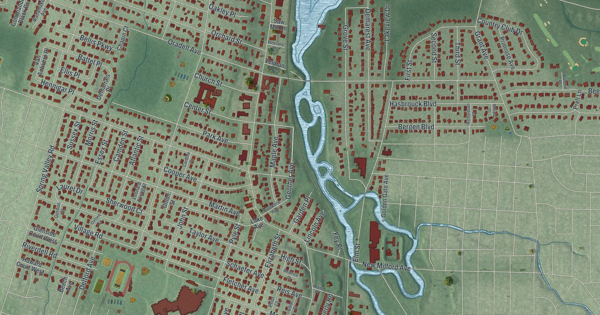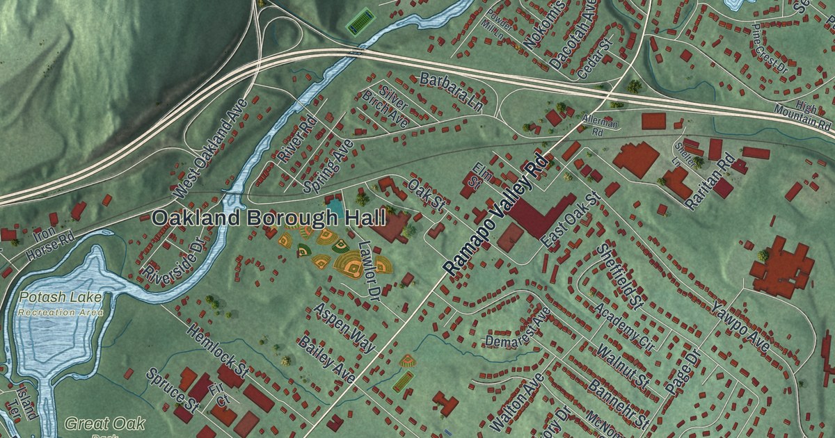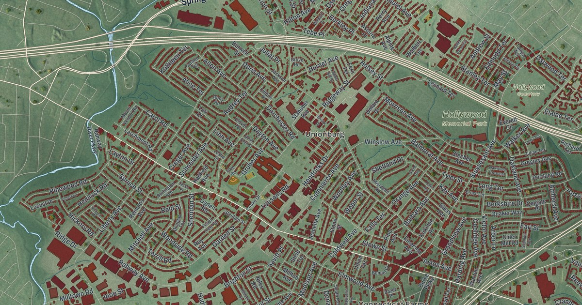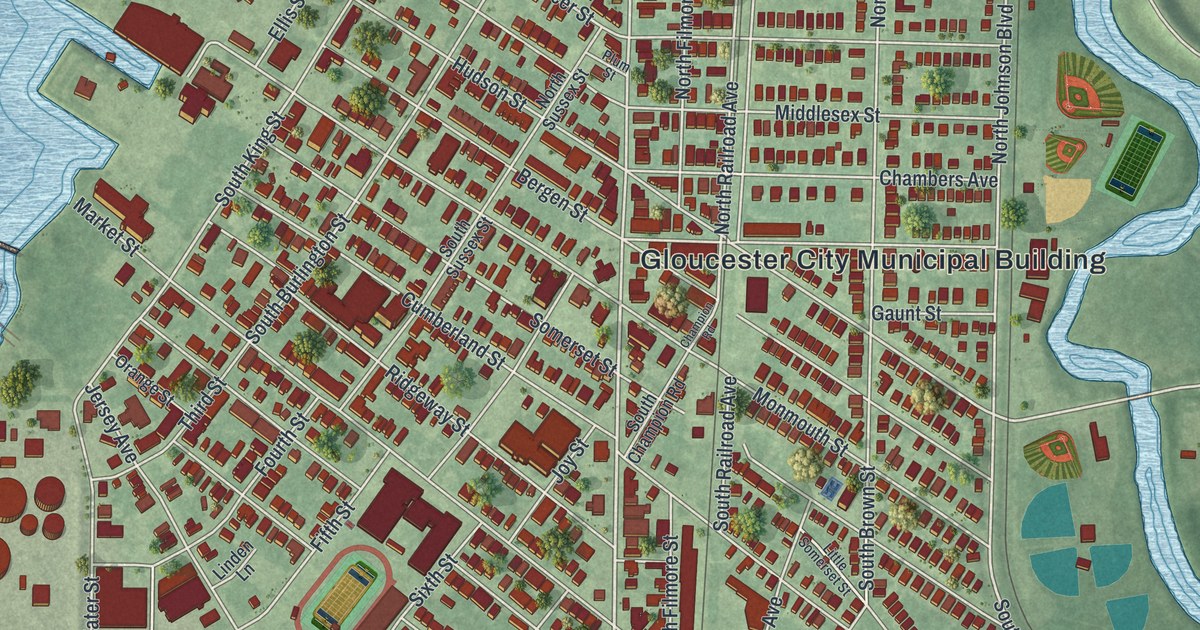
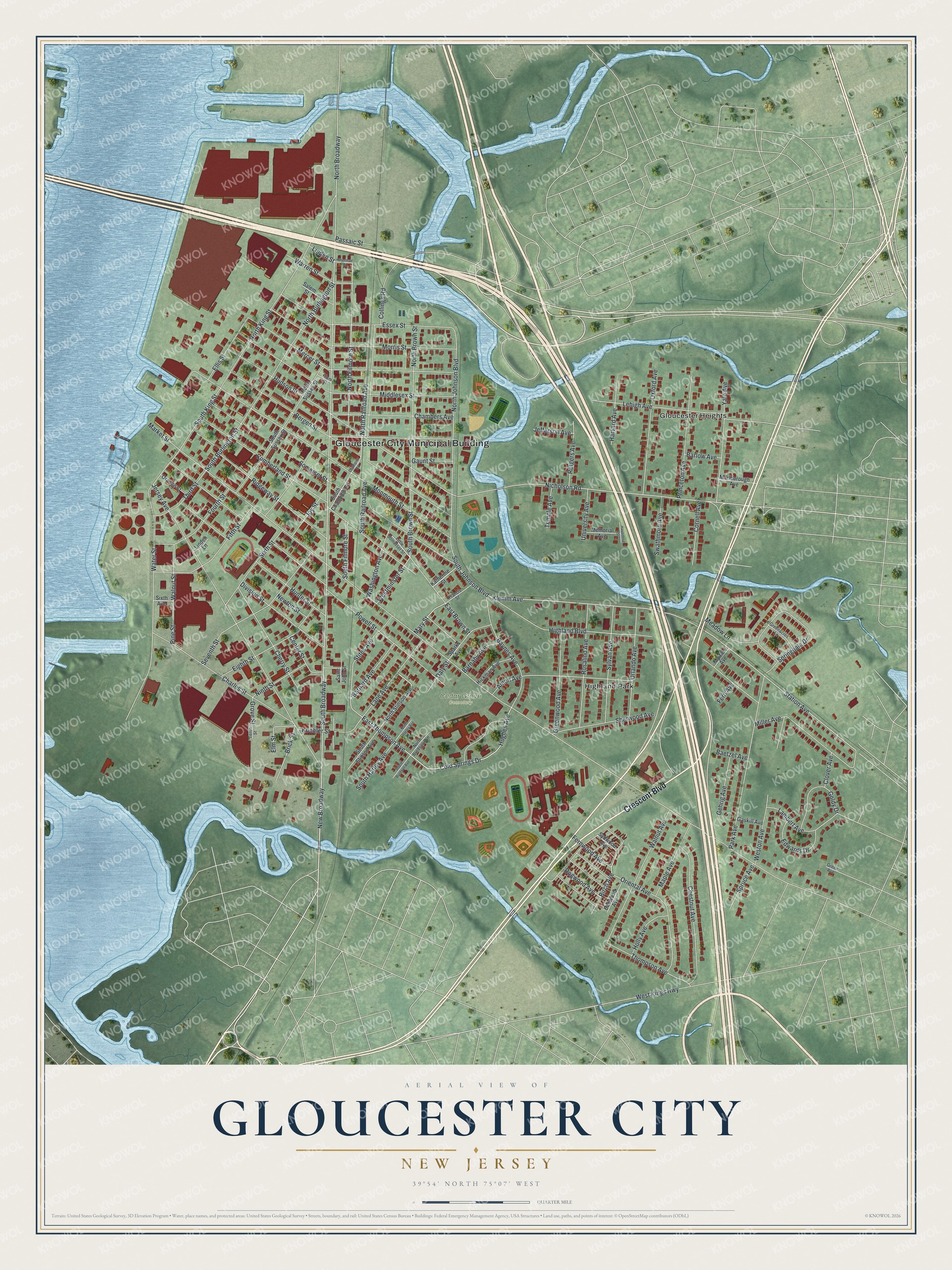
This beautifully detailed map of Gloucester City, New Jersey was created in 2026 using aerial imagery combined with modern topographical, census, street and landmark data. It’s a one-of-a-kind view of Gloucester City that combines accurate data with a vintage aesthetic. The map shows every building in its true location, many of the roads carry their names, and the shaded topographic relief shows the shape of the land.
Explore an aerial view of Gloucester City, New Jersey
On the map you’ll find Gloucester City Municipal Building, Cedar Grove Cemetery, Gloucester Heights, Highland Park, New Broadway, and South Broadway, along with Crescent Boulevard, Klemm Avenue, Station Avenue, South Johnson Boulevard, Cold Springs Drive, Hughes Avenue, and more. If you look closely you can even find your house accurately drawn in its correct location. Zoom in on the preview to look for yours.
Did You Know?
In the 1620s the Dutch built Fort Nassau where Gloucester City now stands. It was a trading post where beaver pelts were traded with the Susquehannock and Lenape people. In 1651 Peter Stuyvesant took the fort apart. He moved it across the Delaware River and named the new post Fort Casimir.
Take a closer look at the Gloucester City map
Names on this map
These names are printed on this map.
Places: Gloucester City Municipal Building, Cedar Grove Cemetery, Gloucester Heights and Highland Park.
Streets and roads: Crescent Boulevard, New Broadway, South Broadway, Klemm Avenue, Station Avenue, South Johnson Boulevard, Cold Springs Drive, Hughes Avenue, Thompson Avenue, East Thompson Avenue, Birch Avenue, North Broadway.
More street names, A to Z
Amon Avenue, Baetzel Avenue, Barlow Avenue, Barnaby Avenue, Barnard Avenue, Baynes Avenue, Bergen Street, Bobwood Avenue, Brick Street, Center Street, Chambers Avenue, Champion Road, Charles Street, Cherry Street, Chestnut Avenue, Clover Avenue, Collings Road, Cornell Avenue, Cumberland Street, Daly Street, Division Street, Dogwood Avenue, East Brown Street, Edwards Drive, Eighth Street, Ellis Street, Elm Street, Essex Street, Fern Avenue, Fernwood Avenue, Fifth Street, Fourth Street, Francis Street, Gaskill Avenue, Gaunt Street, Gehrig Avenue, Goldy Drive, Greenacres Lane, Green Avenue, Greenwood Avenue, Grove Street, Harvard Avenue, Haverford Street, Hickman Avenue, Highland Boulevard, Holly Avenue, Hudson Street, Hunter Street, Jefferson Avenue, Jersey Avenue, Joy Street, Katherine Street, Koehler Street, Lambert Avenue, Lane Avenue, Lehigh Avenue, Linden Lane, Linden Street, Little Somerset Street, Maple Avenue, Market Street, Marlborough Avenue, Mary Street, Meadow Lane, Memorial Avenue, Mercer Street, Middlesex Street, Miller Avenue, Monmouth Street, Morris Street, Myrtle Avenue, Newton Street, Nicholson Road, Ninth Street, North Brown Street, North Burdsall Avenue, North Burlington Street, North Filmore Street, North Harley Avenue, North Johnson Boulevard, North King Street, North Railroad Avenue, North Stinson Avenue, North Sussex Street, Orange Street, Oriental Avenue, Orlando Avenue, Oxford Avenue, Park Avenue, Passaic Street, Pine Street, Plum Street, Powell Street, Princeton Avenue, Ridgeway Street, Rosalind Avenue, Rutgers Avenue, Saint John Street, Salem Street, Seventh Street, Sherman Street, Sherwood Avenue, Sixth Avenue, Sixth Street, Somerset Street, South Brown Street, South Burdsall Avenue, South Burlington Street, South Champion Road, South Filmore Street, South Harley Avenue, South King Street, South Railroad Avenue, South Stinson Avenue, South Sussex Street, Sparks Avenue, Springdale Drive, Spruce Avenue, Stites Avenue, Swathmore Avenue, Sydwood Avenue, Sylvan Avenue, Temple Avenue, Tenth Street, Third Street, University Avenue, Walnut Avenue, Walnut Street, Warren Street, Washington Avenue, Water Street, West Kings Highway, Westminster Street, Weston Avenue, Yale Avenue.
See it on a wall
The Gloucester City map as an 18 x 24 inch print in a black frame.

This beautifully detailed map of Gloucester City makes an attractive addition to your office, library, or den, and it can even be used to teach children the geography and history of the area. It also makes a great gift for someone who left Gloucester City and still calls it home. When you’re done exploring, click here to get your copy of the Gloucester City map.