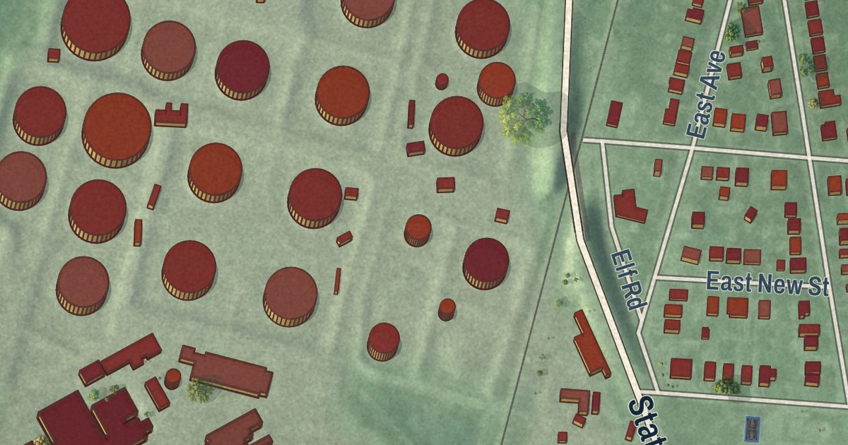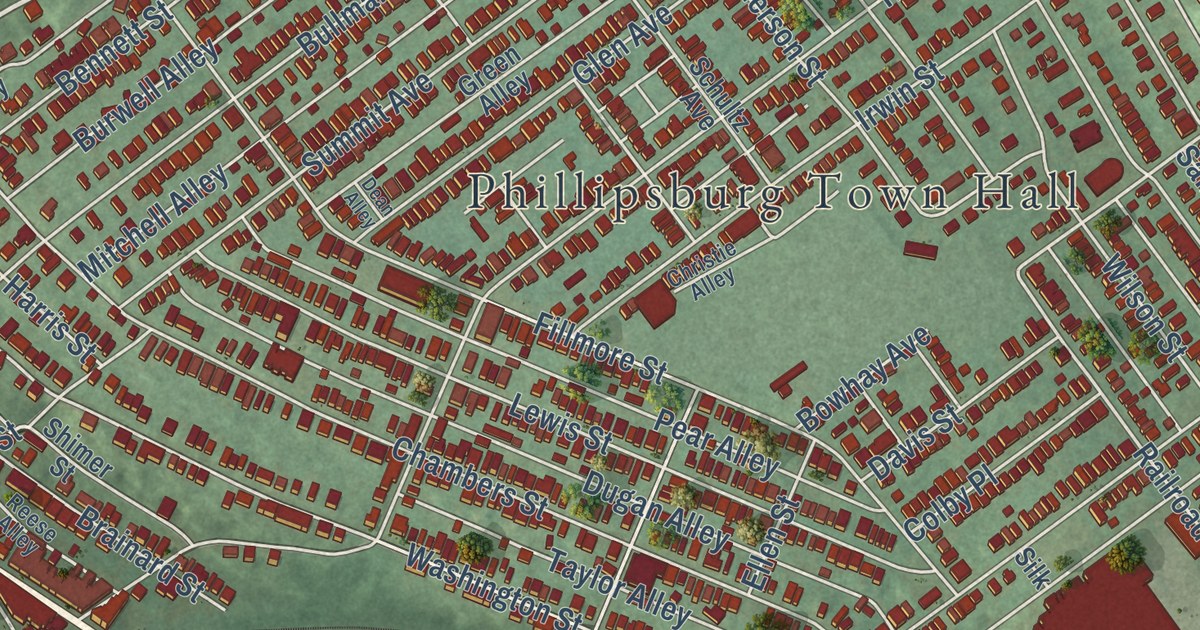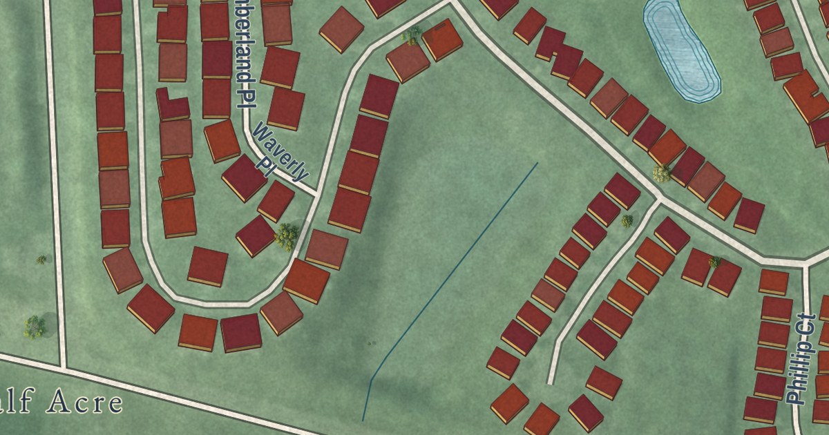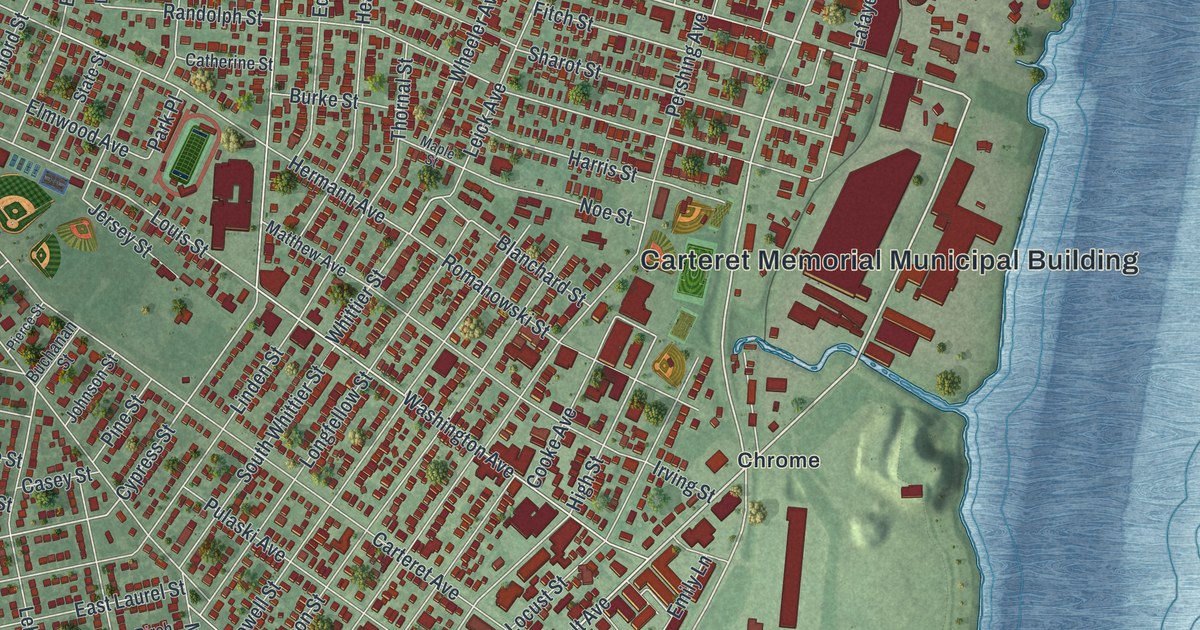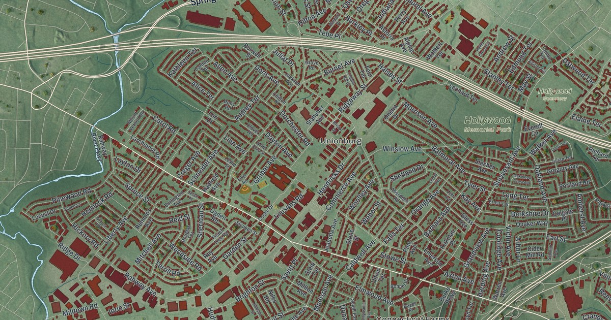
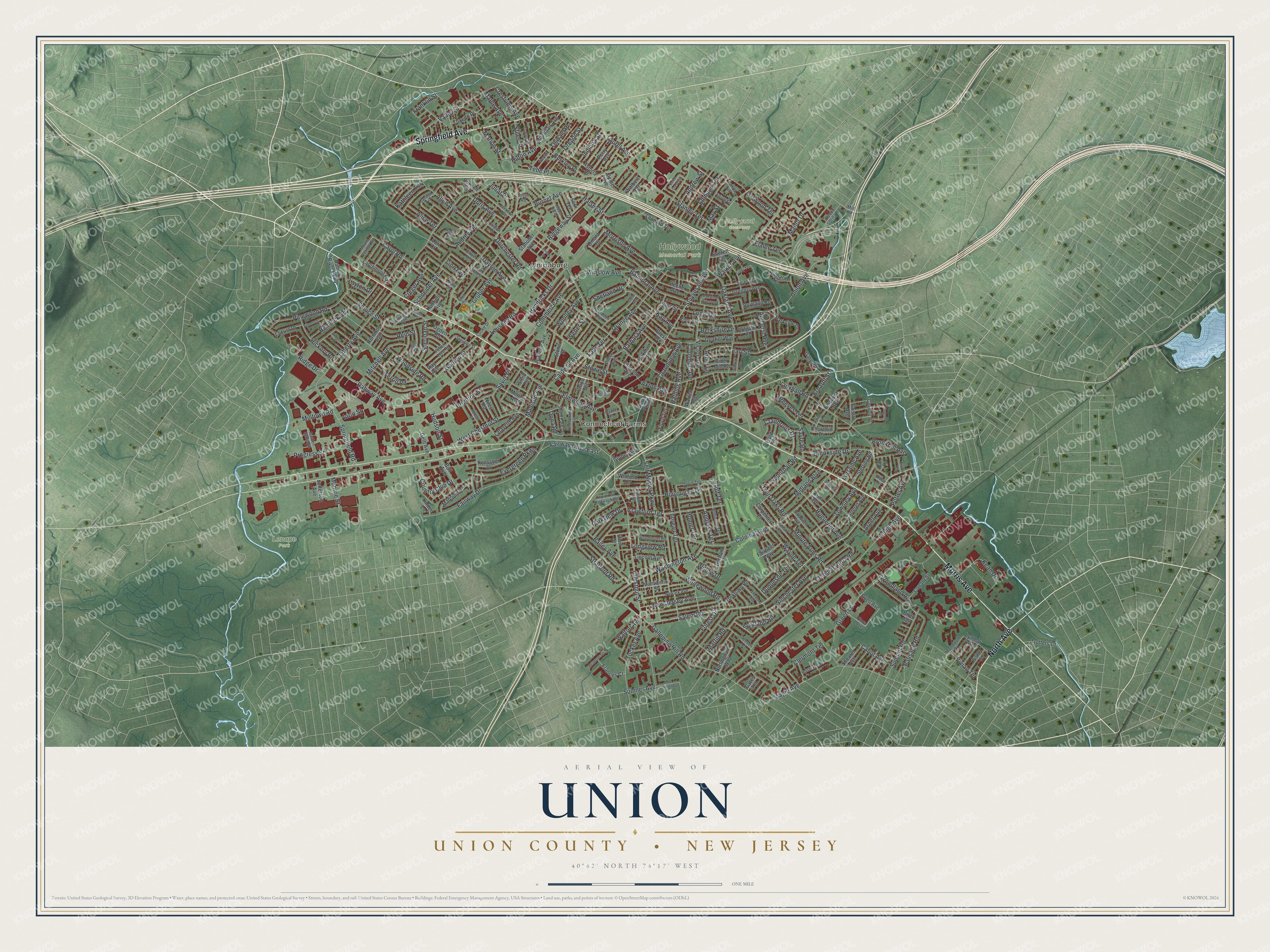
This beautifully detailed map of Union, Union County, New Jersey was created in 2026 using aerial imagery combined with modern topographical, census, street and landmark data. It’s a one-of-a-kind view of Union that combines accurate data with a vintage aesthetic. The map shows every building in its true location, many of the roads carry their names, and the shaded topographic relief shows the shape of the land.
Explore an aerial view of Union, Union County, New Jersey
On the map you’ll find Unionburg, Connecticut Farms, Hollywood Memorial Park, Hollywood Cemetery, and Lenape Park, along with Morris Avenue, Springfield Avenue, North Avenue, Stuyvesant Avenue, Chestnut Street, and more. If you look closely you can even find your house accurately drawn in its correct location. Zoom in on the preview to look for yours.
Did You Know?
Union was first called Connecticut Farms. Its first settlers came from Connecticut in 1749. In 1780 British raiders burned the church, the parsonage and most homes in the village. The people rebuilt, and the Presbyterian church went up again in 1782. That’s from the 1939 WPA guide to New Jersey.
Take a closer look at the Union, Union County map
Names on this map
These names are printed on this map.
Places: Unionburg, Connecticut Farms, Hollywood Memorial Park, Hollywood Cemetery and Lenape Park.
Streets and roads: Morris Avenue, Springfield Avenue, North Avenue, Stuyvesant Avenue, Chestnut Street, Washington Avenue, Tucker Avenue, Huguenot Avenue, Cabot Avenue, Vauxhall Road, Salem Road, Liberty Avenue.
More street names, A to Z
Aberdeen Road, Alden Terrace, Alice Terrace, Allen Avenue, Alpine Avenue, Amherst Avenue, Andrea Road, Andress Terrace, Andrew Street, Arbor Lane, Arnet Avenue, Astoria Place, Audrey Terrace, Axton Avenue, Bailey Avenue, Ball Avenue, Balmoral Avenue, Barbara Avenue, Beech Spring Road, Berkshire Drive, Birch Avenue, Biscayne Boulevard, Bishop Street, Bonnel Court, Brighton Street, Bristol Drive, Broadwell Avenue, Brookfall Avenue, Brookside Drive, Buell Avenue, Burke Parkway, Burkley Place, Burlington Avenue, Burnet Avenue, Burroughs Terrace, Burwell Street, Caldwell Avenue, Carlton Terrace, Carol Road, Carpenter Place, Carteret Avenue, Chilton Place, Churchill Drive, Cider Mill Road, Clermont Terrace, Clifton Terrace, Clover Terrace, Colgate Place, Colonial Arms Road, Colonial Avenue, Commerce Avenue, Conant Street, Cooke Drive, Coolidge Avenue, Copper Hill Drive, Cornell Place, Country Club Drive, Cranbrook Drive, Crawford Terrace, Creger Avenue, Crestview Avenue, David Terrace, Dayton Avenue, Dona Road, Dorchester Road, Doris Avenue, Douglas Terrace, Duquesne Terrace, Durham Court, Earl Street, East Sumner Avenue, Edison Terrace, Edmund Terrace, Elaine Terrace, Elker Road, Ellen Street, Elmwood Avenue, Emerson Avenue, Erhardt Street, Ernst Terrace, Everett Circle, Evergreen Parkway, Fairfield Way, Fairway Drive, Fairway Drive East, Falls Terrace, Fern Terrace, Field Road, Filbert Lane, Floral Avenue, Floyd Terrace, Forest Drive, Frances Court, Franklin Street, Galloping Hill Road, Garden State Road, Garden Street, Gary Road, Gates Terrace, Gelb Avenue, Glenn Avenue, Gless Avenue, Globe Avenue, Golf Terrace, Grandview Avenue, Green Lane, Gregory Avenue, Grove Road, Gruber Avenue, Gustav Avenue, Hadfield Avenue, Halsey Street, Harding Avenue, Hazel Place, Hemlock Road, Hendricks Drive, Hickory Road, Hilton Avenue, Hobson Street, Homer Terrace, Hubbard Avenue, Hudson Street, Indiana Street, Indian Run Parkway North, Iorio Street, Jackson Avenue, Jeanette Avenue, Jefferson Avenue, Jensen Lane, Jesse Place, Julian Terrace, Juliat Place, Kathleen Terrace, Kay Avenue, Kean Drive, Keller Crescent, Kirkman Place, Lafayette Avenue, Larchmont Road, Laurel Avenue, Layton Drive, Lehigh Avenue, Lentz Avenue, Leonard Terrace, Leslie Street, Lincoln Avenue, Linden Lane, Lindy Terrace, Linn Avenue, Locust Drive, Long Terrace, Longview Road, Lori Court, Lorraine Avenue, Lousons Road, Lum Avenue, Lynmar Way, Madison Avenue, Magie Avenue, Malcolm Road, Manor Drive, Maple Avenue, Marcella Drive, Marion Street, Martin Road, May Street, Midland Boulevard, Mill Road, Millton Avenue, Milltown Road, Minute Arms Road, Mitchell Avenue, Monmouth Road, Monroe Street, Montclair Avenue, Monticello Street, Morrison Avenue, Mount Vernon Road, Newark Avenue, New Jersey Avenue, Niles Road, North Third Street, Nottingham Way, Oakland Avenue, Oak Place, Oakwood Crescent, Ogden Road, Omara Drive, Orange Avenue, Oregon Street, Ostwood Terrace, Oswald Place, Palisade Road, Parkside Drive, Parkview Drive, Patton Road, Peach Tree Road, Pennsylvania Avenue, Perry Avenue, Pine Avenue, Pinewood Road, Portland Road, Potter Avenue, Progress Street, Putnam Road, Quaker Way, Rahway Avenue, Rahway River Parkway, Ray Avenue, Reeves Terrace, Reid Street, Reinhold Terrace, Remmos Avenue, Richard Terrace, Ridge Drive, Ridgeway Street, Robinson Terrace, Roessner Drive, Rony Road, Roseland Place, Savitt Place, Sayre Road, Schmidt Avenue, Schneider Avenue, Scotland Road, Self Master Parkway, Shearer Avenue, Sheridan Street, Shetland Drive, South Park Terrace, Springfield Road, Spruce Street, Stahuber Avenue, Stanley Terrace, Stecher Avenue, Steib Terrace, Sterling Road, Steuben Street, Stiles Street, Stockton Road, Stone Street, Stowe Street, Stratford Road, Suburban Road, Summit Place, Summit Road, Sumner Avenue, Tampa Terrace, Tebe Place, Terrill Road, Thoreau Terrace, Tower Street, Townley Avenue, Trotters Lane, Tuxedo Place, Twin Oaks Road, Tyler Street, Union Avenue, Union Terrace, Valley Street, Victor Avenue, Vivian Terrace, Waldorf Place, Walker Avenue, Walton Avenue, Warren Avenue, Wayne Terrace, Weber Street, West Chestnut Street, Wewanna Avenue, Whitewood Road, Willow Drive, Winchester Avenue, Winfield Terrace, Winslow Avenue, Wolbert Terrace, Woodland Avenue, Woodmont Road, Woodside Road, Woolley Avenue, Yorktown Road.
See it on a wall
The Union, Union County map as an 18 x 24 inch print in a black frame.

This beautifully detailed map of Union, Union County makes an attractive addition to your office, library, or den, and it can even be used to teach children the geography and history of the area. It also makes a great gift for anyone who grew up in Union or moved away. When you’re done exploring, click here to get your copy of the Union, Union County map.