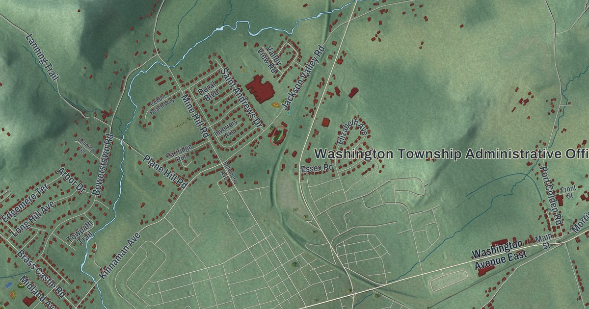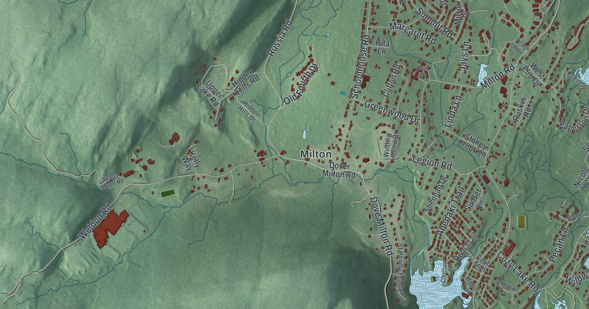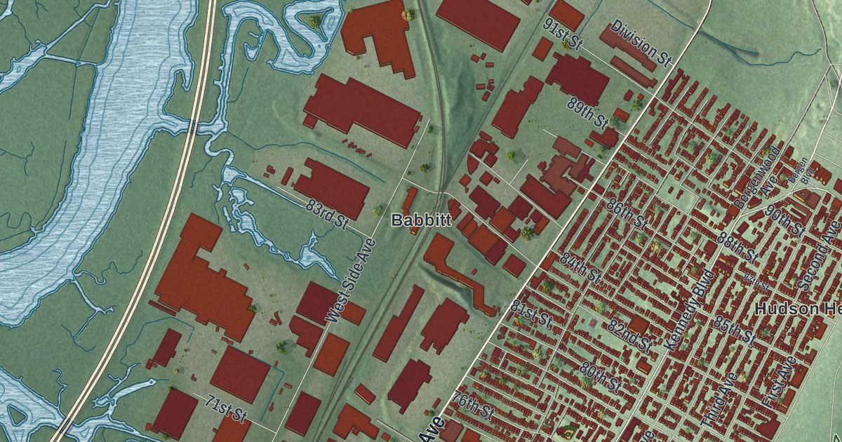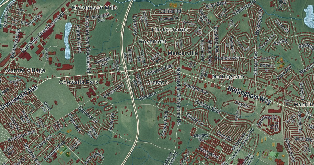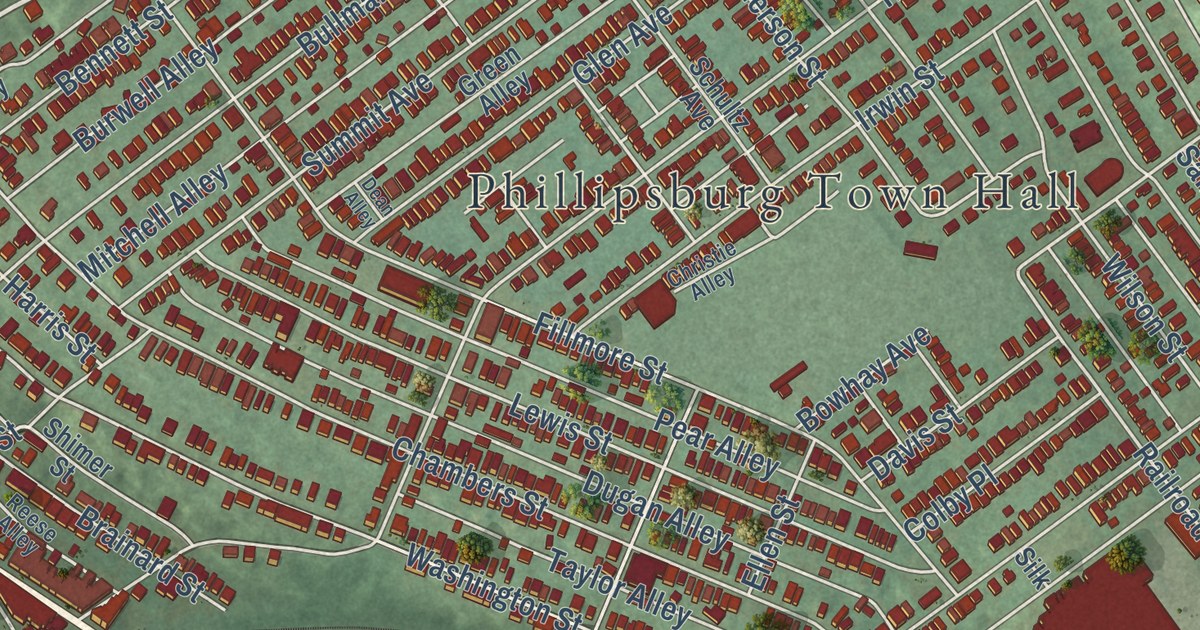
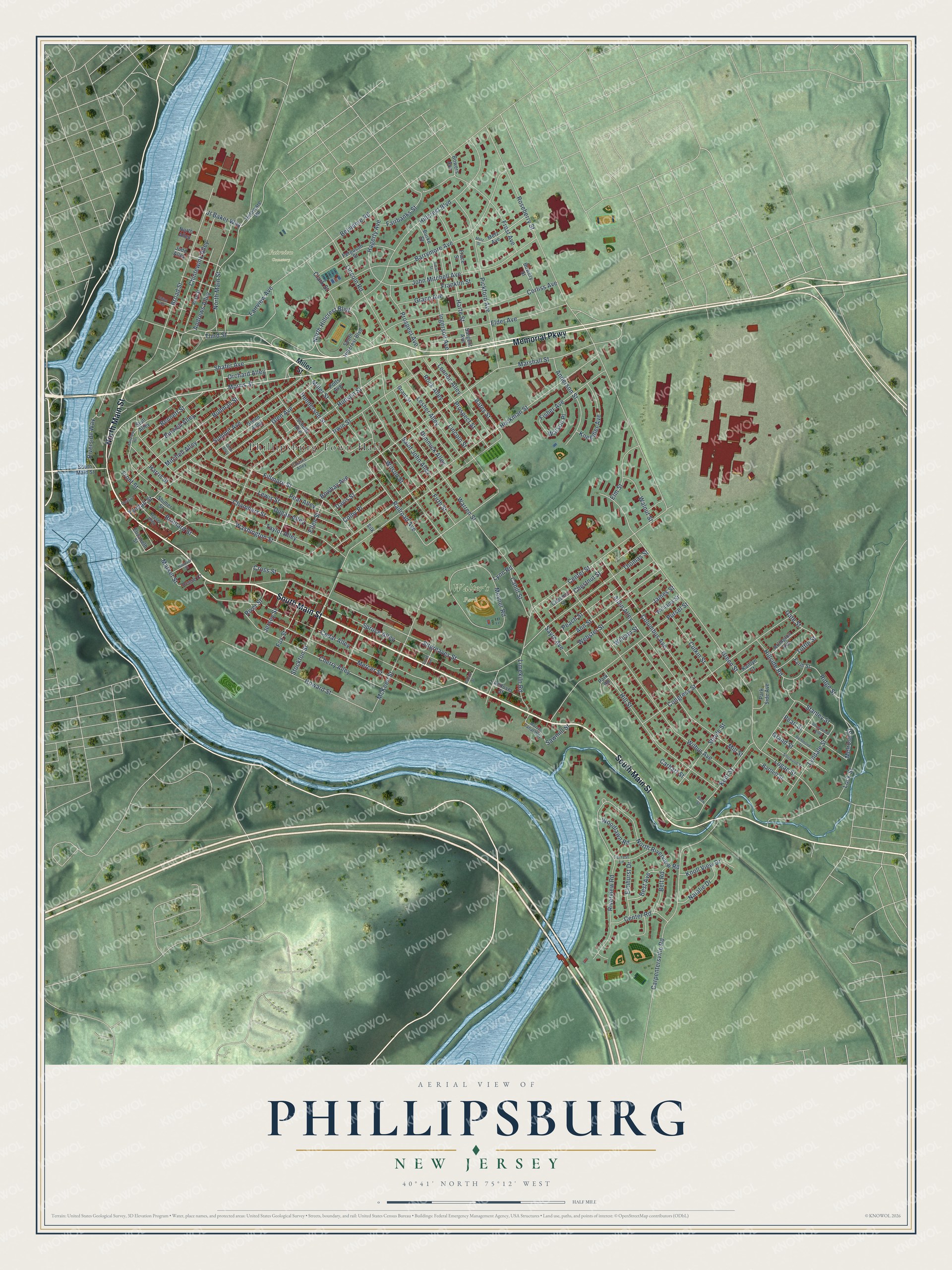
This beautifully detailed map of Phillipsburg, New Jersey was created in 2026 using aerial imagery combined with modern topographical, census, street and landmark data. It’s a one-of-a-kind view of Phillipsburg that combines accurate data with a vintage aesthetic. The map shows every building in its true location, many of the roads carry their names, and the shaded topographic relief shows the shape of the land.
Explore an aerial view of Phillipsburg, New Jersey
On the map you’ll find Phillipsburg Town Hall, Green Street Park, Walter’s Park, and Fairview Cemetery, along with Main Street, Memorial Parkway, Morris Street, Third Street, and more. If you look closely you can even find your house accurately drawn in its correct location. Zoom in on the preview to look for yours.
Did You Know?
Phillipsburg stands where a native village called Chintewink once stood. By 1939 its smoke and grime earned it comparison to a little Pittsburgh. The Warren Foundry and Pipe shop stretched five-eighths of a mile. It made a seven-foot pipe that carried telephone cable under the Harlem River, with room inside for repairmen. That’s from the 1939 WPA guide to New Jersey.
Take a closer look at the Phillipsburg map
Names on this map
These names are printed on this map.
Places: Phillipsburg Town Hall, Walter's Park and Fairview Cemetery.
Streets and roads: North Main Street, Memorial Parkway, South Main Street, Morris Street, Third Street, North Hillcrest Boulevard, Market Street, Anderson Street, Bates Street, Railroad Avenue, Mercer Street, Marshall Street.
More street names, A to Z
Abbott Street, Allen Alley, Andover Street, Andrews Alley, Ann Street, Arlington Avenue, Bank Street, Barrymore Avenue, Bartlett Street, Belt Road, Belvidere Road, Bennett Street, Best Avenue, Bowers Avenue, Bowery Street, Bowhay Avenue, Brainard Street, Broad Street, Bullman Street, Burke Street, Burwell Alley, Cahill Street, Carhart Street, Carpentersville Road, Cedar Alley, Center Road, Center Street, Chambers Street, Cherry Alley, Chesnut Street, Chestnut Street, China Alley, Chintewink Alley, Christie Alley, Clark Street, Colby Place, Columbus Avenue, Congress Street, Corliss Avenue, Cross Street, Culkin Street, Davis Street, Dean Alley, Delaware Road, Dimmick Alley, Dugan Alley, Elder Avenue, Elizabeth Street, Ellen Street, Elmhurst Drive, Elm Street, Fairbanks Street, Fairview Avenue, Fairview Heights, Farm Street, Ferguson Street, Fillmore Street, Firth Street, Fisher Avenue, Forrest Lane, Fox Street, Frace Street, Franklin Street, Front Street, Frost Avenue, Gate Street, Glen Avenue, Grace Avenue, Grand Street, Grant Street, Green Alley, Green Street, Greenwood Alley, Hagerty Avenue, Hanover Street, Harris Street, Harte Street, Heckman Street, Henderson Street, Hillcrest Boulevard, Hillside Road, Hill Street, Howard Street, Hudson Street, Ingersoll Avenue, Irwin Street, James Street, Jersey Street, John Mitchell Avenue, Jt Baker Way, Judd Alley, Kaitlyn Court, Kent Street, Kneedler Avenue, Knoll View Drive, Lennon Alley, Lesher Alley, Lewis Street, Limekiln Road, Lincoln Road, Lincoln Street, Lock Street, Logan Street, Lyndale Street, Lynn Road, McKeen Street, Melrose Street, Metz Avenue, Metz Street, Meyner Road, Miller Street, Mill Street, Mitchell Alley, Morris Canal Way, Natalie Drive, North Alley, North Riverview Road, Orchard Alley, Park Road, Park Side Avenue, Peach Street, Pear Alley, Pearl Street, Pickford Avenue, Pleasant, Potts Avenue, Prospect Avenue, Prospect Street, Pursel Street, Reese Alley, Reese Court, Richmond Street, Ridge Street, Riverside Way, River Street, Riverview Road, Rock Alley, Roseberry Street, Rose Street, Saint John Alley, Sargent Avenue, Sawmill Street, Sayre Avenue, Schultz Avenue, Shafer Avenue, Sherwood Street, Shimer Street, Silk, Sitgreaves Street, Smith Avenue, South Hillcrest Boulevard, Spruce Alley, Stanley Street, Steele Street, Stockton Street, Stull Alley, Summit Avenue, Susan Street, Taylor Alley, Thomas Street, Tuttle Street, Tyndall Street, Walnut Street, Warren Street, Washington Street, Watson Place, Webster Street, Wilbur Avenue, Williams Street, William Street, Wilson Street, Woodlawn Road.
See it on a wall
The Phillipsburg map as an 18 x 24 inch print in a black frame.

This beautifully detailed map of Phillipsburg makes an attractive addition to your office, library, or den, and it can even be used to teach children the geography and history of the area. It also makes a great gift for anyone with Phillipsburg roots. When you’re done exploring, click here to get your copy of the Phillipsburg map.