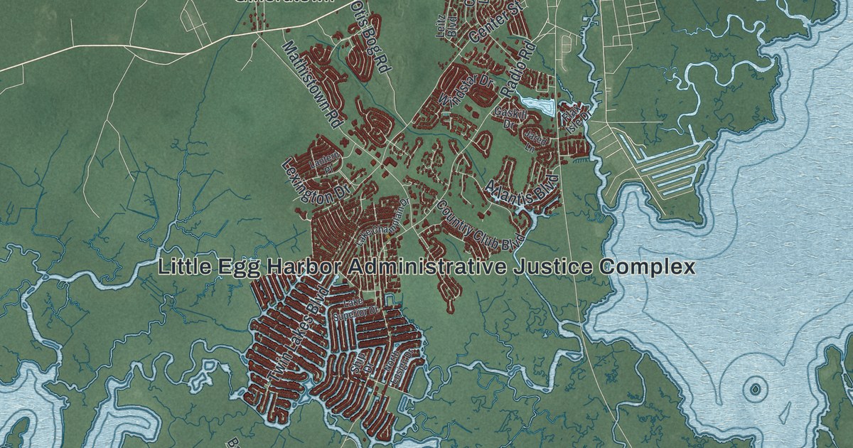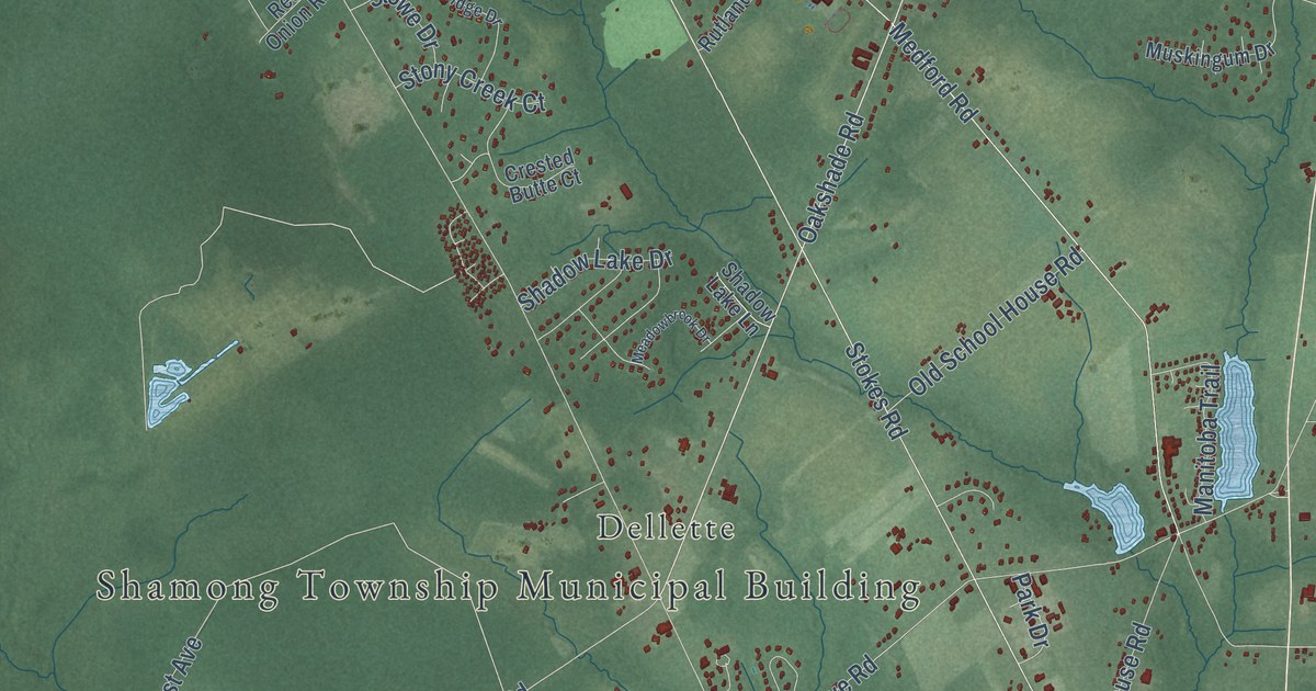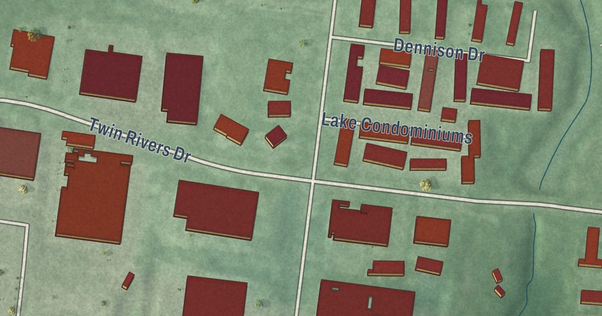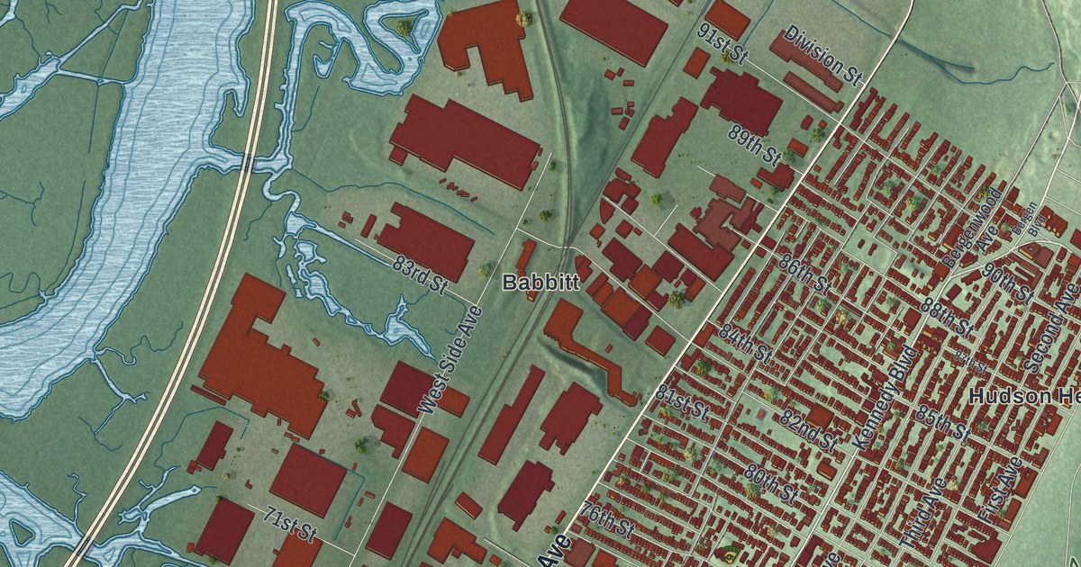
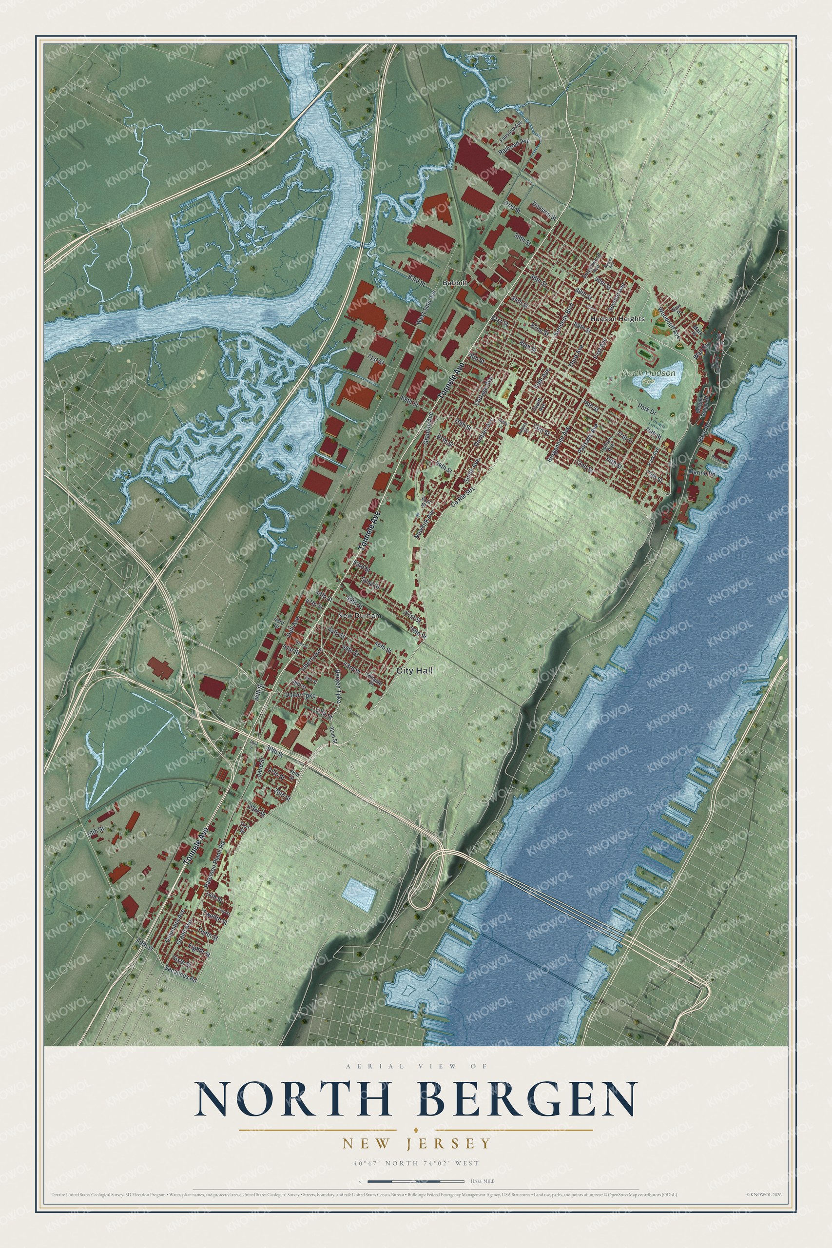
This beautifully detailed map of North Bergen, New Jersey was created in 2026 using aerial imagery combined with modern topographical, census, street and landmark data. It’s a one-of-a-kind view of North Bergen that combines accurate data with a vintage aesthetic. The map shows every building in its true location, many of the roads carry their names, and the shaded topographic relief shows the shape of the land.
Explore an aerial view of North Bergen, New Jersey
On the map you’ll find City Hall, Babbitt, Hudson Heights, New Durham, and North Hudson Park, along with Tonnele Avenue, Bergen Turnpike, River Road, Paterson Plank Road, and more. If you look closely you can even find your house accurately drawn in its correct location. Zoom in on the preview to look for yours.
Did You Know?
In Dutch colonial days, thick forest covered the land that became North Bergen. Native and settler footpaths crossed it, and people called it Bergen Woods. The township was carved from the northern part of Bergen Township in 1843. The Bergenwood neighborhood still carries the old forest name.
Take a closer look at the North Bergen map
Names on this map
These names are printed on this map.
Places: City Hall, North Hudson Park, Babbitt, Hudson Heights and New Durham.
Streets and roads: Tonnele Avenue, Bergen Turnpike, County Route 501, River Road, Paterson Plank Road, Dell Avenue, 34th Street, Grand Avenue, Secaucus Road, Jane Street, West Side Avenue, Liberty Avenue.
More street names, A to Z
13th Street, 14th Street, 16th Street, 21st Street, 23rd Street, 26th Street, 27th Street, 28th Street, 29th Street, 30th Street, 32nd Street, 37th Street, 38th Street, 39th Street, 41st Street, 42nd Street, 43rd Drive, 43rd Street, 44th Street, 45th Street, 46th Street, 47th Street, 48th Street, 49th Street, 50th Street, 51st Street, 52nd Street, 53rd Street, 61st Street, 64th Street, 67th Street, 69th Street, 70th Street, 71st Street, 72nd Street, 73rd Street, 74th Street, 75th Street, 76th Street, 77th Street, 78th Street, 79th Street, 80th Street, 81st Street, 82nd Street, 83rd Street, 84th Street, 85th Street, 86th Street, 87th Street, 88th Street, 89th Street, 90th Street, 91st Street, Adams Street, Barr Place, Bergen Boulevard, Bergenline Avenue, Bergen Ridge Road, Bergenwood Avenue, Churchill Road, Columbia Avenue, Cottage Avenue, Division Street, Durham Avenue, Eighth Street, Fairview Avenue, Fifth Avenue, Fifth Street, First Avenue, Fourth Avenue, Granton Avenue, Hillside Place, Hudson Avenue, Kelly Lane, Kennedy Boulevard, Marine Road, Mark Place, Newkirk Avenue, Palisade Avenue, Park Avenue, Park Drive, Railroad Avenue, Riverside Place, Riverview Circle, Second Avenue, Sixth Street, Smith Avenue, Tenth Street, Third Avenue, Twelfth Street, Union Turnpike, Wall Street, Woodcliff Avenue.
See it on a wall
The North Bergen map as an 18 x 24 inch print in a black frame.

This beautifully detailed map of North Bergen makes an attractive addition to your office, library, or den, and it can even be used to teach children the geography and history of the area. It also makes a great gift for anyone with North Bergen roots. When you’re done exploring, click here to get your copy of the North Bergen map.