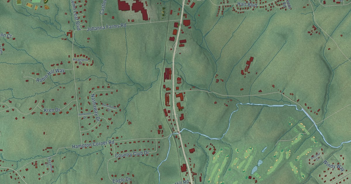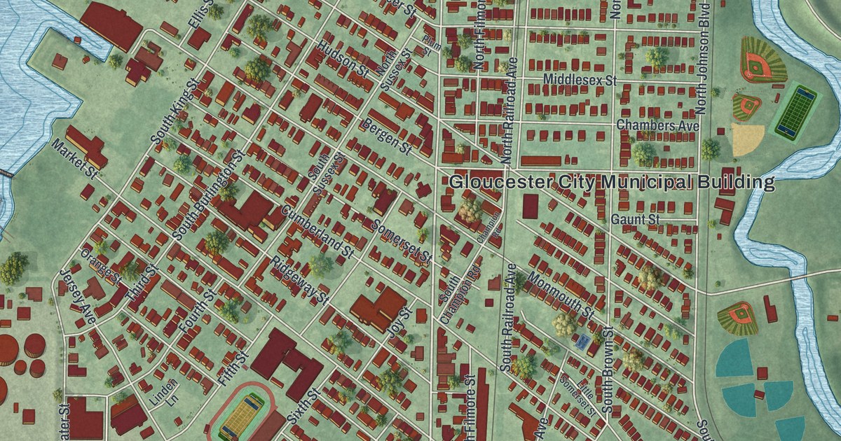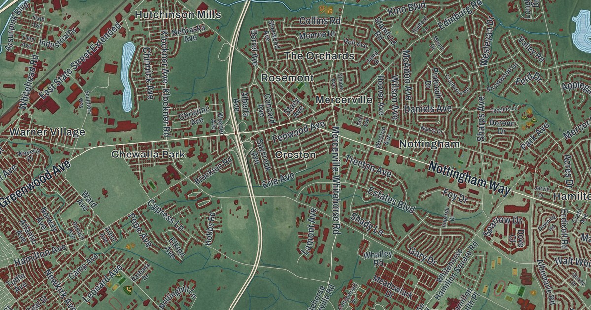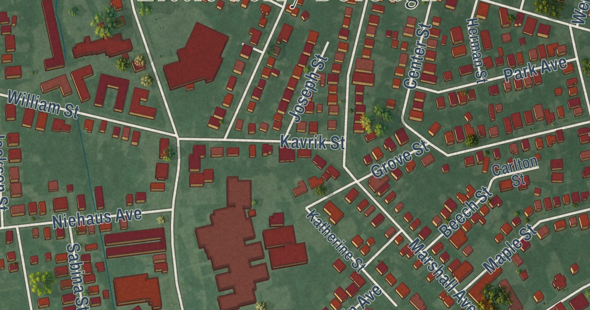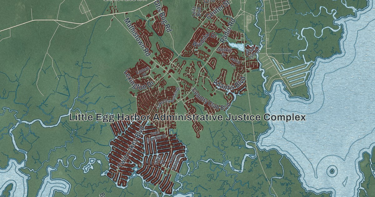
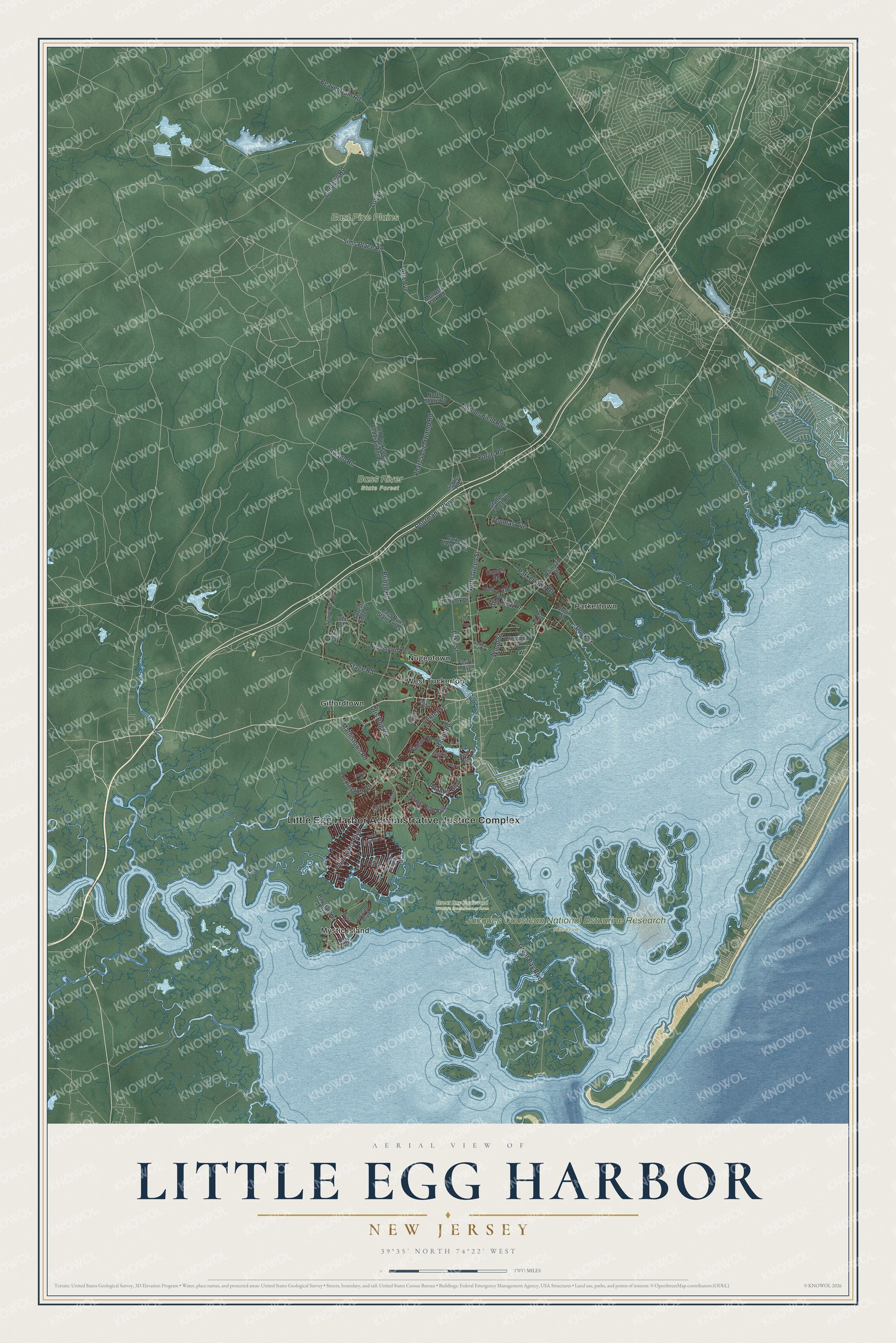
This beautifully detailed map of Little Egg Harbor, New Jersey was created in 2026 using aerial imagery combined with modern topographical, census, street and landmark data. It’s a one-of-a-kind view of Little Egg Harbor that combines accurate data with a vintage aesthetic. The map shows every building in its true location, many of the roads carry their names, and the shaded topographic relief shows the shape of the land.
Explore an aerial view of Little Egg Harbor, New Jersey
On the map you’ll find Little Egg Harbor Administrative Justice Complex, Bass River State Forest, East Pine Plains, Great Bay Boulevard Wildlife Management Area, Jacques Cousteau National Estuarine Research Reserve, Giffordtown, Mystic Island, Nugentown, Parkertown, and West Tuckerton, along with Sims Place Road, Ada Avenue, and more. If you look closely you can even find your house accurately drawn in its correct location. Zoom in on the preview to look for yours.
Did You Know?
Dutch sailors named the bay Egg Harbor for the eggs they found in nearby gull nests, and the township took its name from that bay. Captain Cornelius Jacobsen May wrote the first known account of the place in 1614.
Take a closer look at the Little Egg Harbor map
Names on this map
These names are printed on this map.
Places: Little Egg Harbor Administrative Justice Complex, Bass River State Forest, East Pine Plains, Great Bay Boulevard Wildlife Management Area, Jacques Cousteau National Estuarine Research Reserve, Giffordtown, Mystic Island, Nugentown, Parkertown and West Tuckerton.
Streets and roads: Sims Place Road, Ada Avenue, Great Bay Boulevard, Radio Road, Munion Field Road, Poorman's Parkway, Bridge Road, Log Lane, Center Street, North Green Street, Stage Road, Forge Road.
More street names, A to Z
Altori Court, Atlantis Boulevard, Bay Harbor Boulevard, Beach Drive, Beaver Dam Road, Brook Street, Cervetto Road, Country Club Boulevard, Dock Street, Elmwood Drive, Flax Isle Drive, Forest Edge Drive, Fourth Avenue, Gaskill Drive, Golf View Drive, Hamble Road, Hickory Lane, Jared Lane, John Street, Lake Champlain Drive, Lake Street, Lake Superior Drive, Lantern Place, Leitz Boulevard, Lexington Drive, Mathistown Road, Melrose Park Road, My Way, Newport Way, North Ensign Drive, North Shore Drive, Nugentown Road, Oak Lane, Ocean Boulevard, Ohio Drive, Old Tuckerton Cedar Bridge Road, Otis Bog Road, Parkers Country Road, Parkertown Drive, Pharos Log Swamp Road, Price Drive, Railroad Drive, Service Road, Ship Drive, Sports Complex Drive, Stafford Forge Road, Swago Road, Taylor Street, Tenth Avenue, Thomas Avenue, Tony's Drive, Twin Lakes Boulevard, Windstar Drive, Wood Street.
See it on a wall
The Little Egg Harbor map as an 18 x 24 inch print in a black frame.

This beautifully detailed map of Little Egg Harbor makes an attractive addition to your office, library, or den, and it can even be used to teach children the geography and history of the area. It also makes a great gift for someone who left Little Egg Harbor and still calls it home. When you’re done exploring, click here to get your copy of the Little Egg Harbor map.