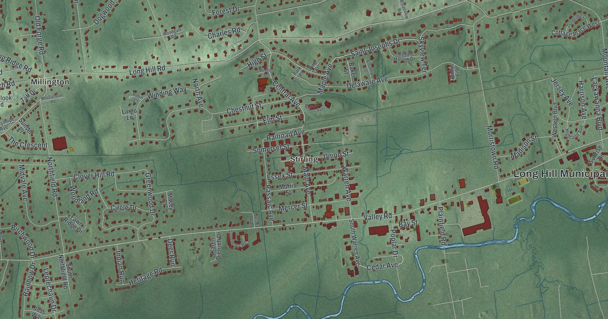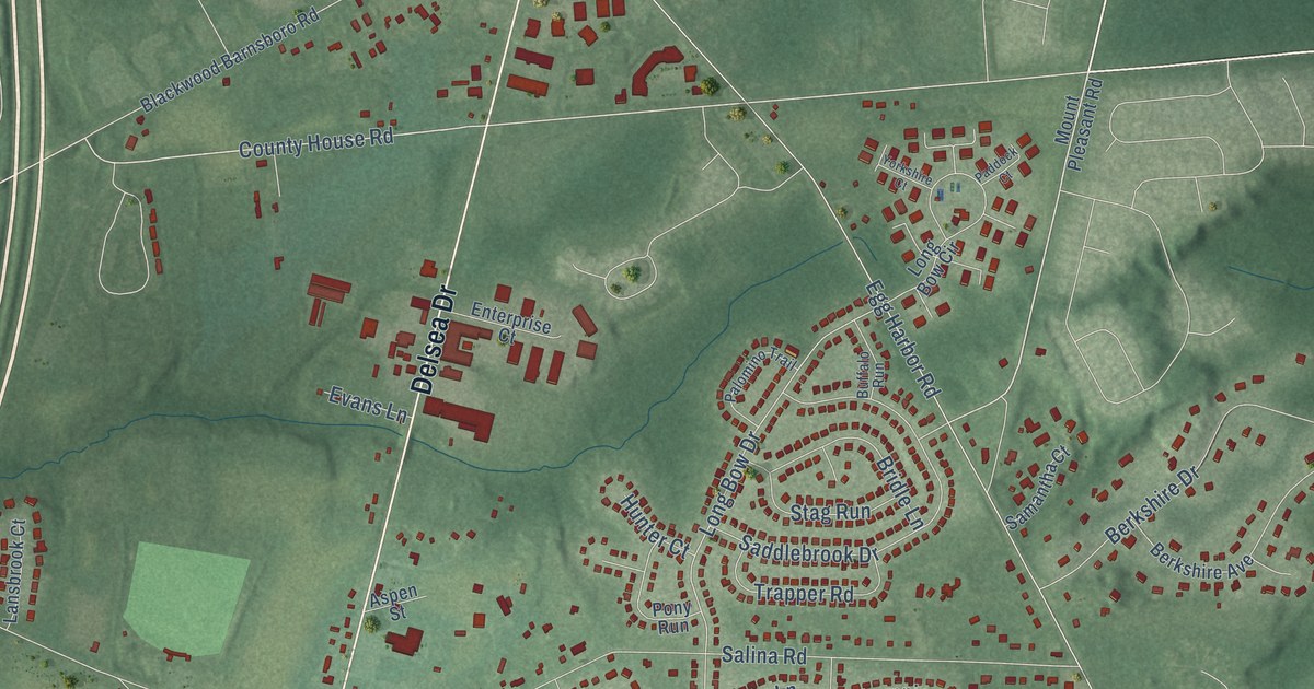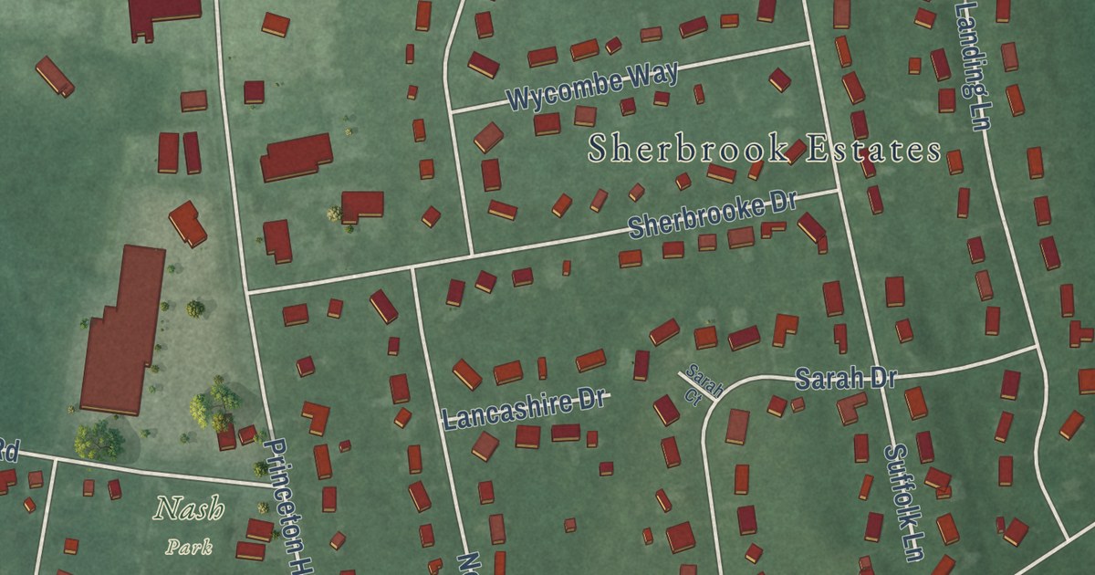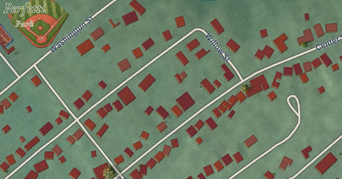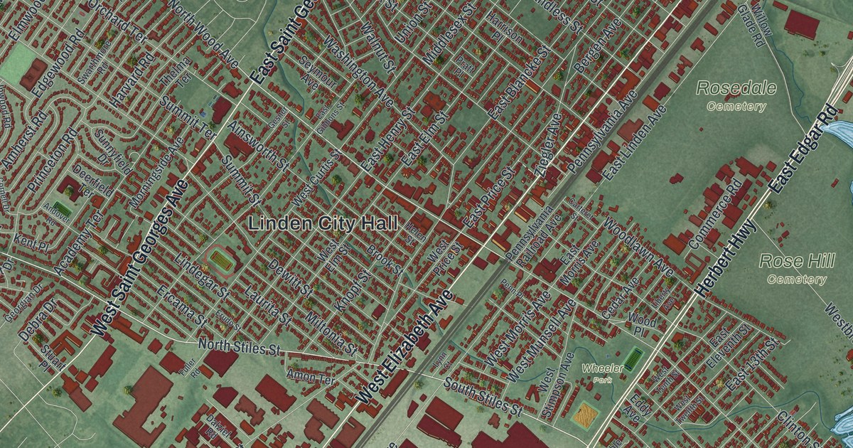
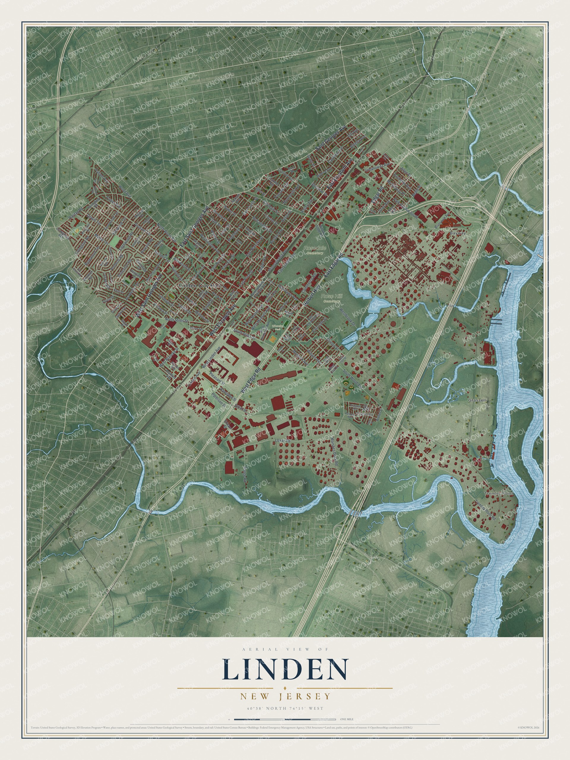
This beautifully detailed map of Linden, New Jersey was created in 2026 using aerial imagery combined with modern topographical, census, street and landmark data. It’s a one-of-a-kind view of Linden that combines accurate data with a vintage aesthetic. The map shows every building in its true location, many of the roads carry their names, and the shaded topographic relief shows the shape of the land.
Explore an aerial view of Linden, New Jersey
On the map you’ll find Linden City Hall, Tremley Point, Rose Hill Cemetery, Rosedale Cemetery, Wheeler Park, Bayway, Grasselli, and Tremley, along with East Elizabeth Avenue, West Elizabeth Avenue, Herbert Highway, West Edgar Road, and more. If you look closely you can even find your house accurately drawn in its correct location. Zoom in on the preview to look for yours.
Did You Know?
From 1937 to 2005, General Motors ran its Linden Assembly plant in the city. Workers built Oldsmobile, Pontiac and Buick cars there. During World War II the plant made planes. Most of it was torn down by 2008 for new development.
Take a closer look at the Linden map
Names on this map
These names are printed on this map.
Places: Linden City Hall, Tremley Point, Rose Hill Cemetery, Rosedale Cemetery, Wheeler Park, Bayway, Grasselli and Tremley.
Streets and roads: East Elizabeth Avenue, West Elizabeth Avenue, Herbert Highway, West Edgar Road, East Edgar Road, Edgar Road, East Saint Georges Avenue, Saint Georges Avenue, West Saint Georges Avenue, North Stiles Street, Lower Road, South Stiles Street.
More street names, A to Z
Academy Terrace, Ainsworth Street, Alberta Avenue, Allen Street, Amherst Road, Amon Terrace, Andover Road, Ashton Avenue, Bacheller Avenue, Bedle Place, Bergen Avenue, Berlant Avenue, Bower Street, Bradford Avenue, Brook Street, Brunswick Avenue, Carnegie Street, Caroline Avenue, Carteret Street, Cedar Avenue, Chandler Avenue, Clark Street, Clinton Street, Commerce Road, Cornell Drive, County Highway 615, Cranford Avenue, Dalziel Road, Debra Drive, Deerfield Terrace, Dewitt Street, Dewitt Terrace, Dill Avenue, East 13th Street, East 21st Street, East Blancke Street, East Curtis Street, East Eleventh Street, East Elm Street, East Gibbons Street, East Henry Street, East Linden Avenue, East Morris Avenue, East Price Street, Eddy Avenue, Edgewood Road, Edward Street, Elmwood Terrace, Ercama Street, Erudo Street, Essex Avenue, Fernwood Terrace, Fifth Avenue, Forest Drive, Franklin Drive, Fuller Road, Furber Avenue, Gable Lane, Georgian Drive, Gesner Street, Grant Street, Grasselli Avenue, Grier Avenue, Hampden Street, Harrison Place, Harvard Road, Helen Street, Hurst Street, Hussa Street, Inwood Road, Irene Street, Jackson Avenue, John Street, Kent Place, Klem Avenue, Knopf Street, Laurita Street, Lenape Road, Liberty Avenue, Lincoln Street, Lindegar Street, Linden Avenue, Livingston Road, Lynn Court, Main Street, Marion Avenue, Marshes Dock Road, McCandless Street, Mc Gillvray Place, Melrose Terrace, Middlesex Street, Mildred Avenue, Miltonia Street, Monmouth Avenue, Mopsick Avenue, Morningside Avenue, Morristown Road, Myrtle Terrace, Nora Drive, North Wood Avenue, Old Grove Road, Orchard Terrace, Palisade Road, Pallant Avenue, Park Avenue South, Parkway Avenue, Passaic Avenue, Paterson Street, Penn Place, Pennsylvania Avenue, Pennsylvania Railroad Avenue, Pleasant Street, Pratt Place, Princeton Road, Range Road, Raritan Road, Roselle Street, Rosewood Terrace, Seymour Avenue, Sherman Street, South Wood Avenue, Springfield Road, Stockton Road, Stuart Place, Summit Street, Summit Terrace, Sunnyfield Drive, Swarthmore Road, Sylvan Street, Thelma Terrace, Tremley Point Road, Tuxedo Place, Union Street, Urbanowitz Avenue, Verona Avenue, Walnut Street, Walter Street, Washington Avenue, West 19th Street, West 21st Street, West Blancke Street, Westbrook Drive, West Curtis Street, West Elm Street, West Linden Avenue, West Morris Avenue, West Munsell Avenue, West Price Street, West Stimpson Avenue, West Tenth Street, West Twelfth Street, Willow Glade Road, Winans Avenue, Wood Avenue, Woodlawn Avenue, Wood Place, Ziegler Avenue.
See it on a wall
The Linden map as an 18 x 24 inch print in a black frame.

This beautifully detailed map of Linden makes an attractive addition to your office, library, or den, and it can even be used to teach children the geography and history of the area. It also makes a great gift for anyone with Linden roots. When you’re done exploring, click here to get your copy of the Linden map.