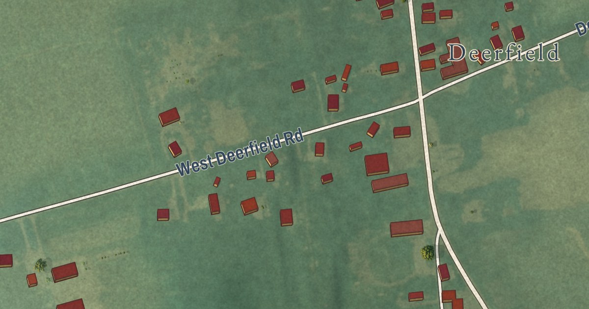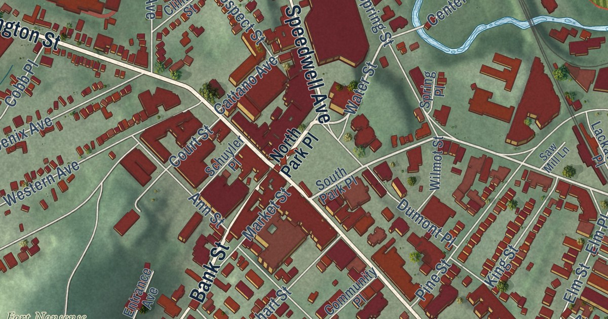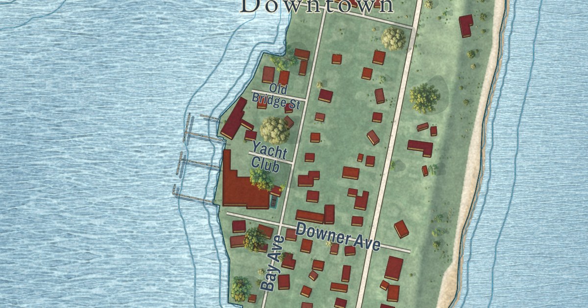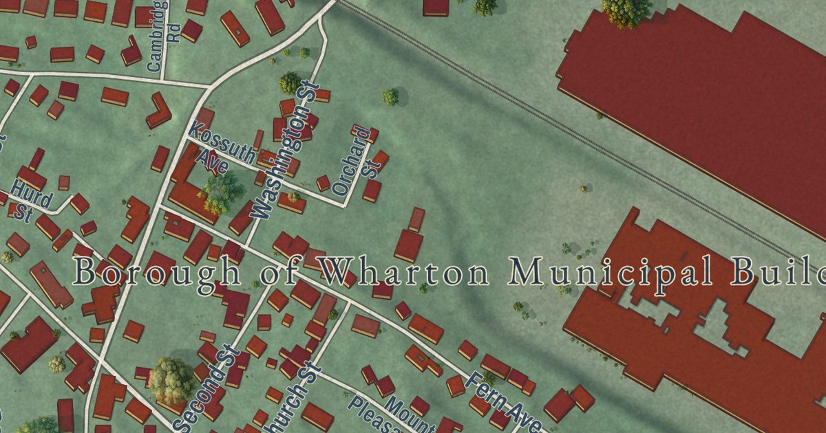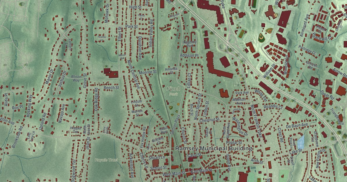
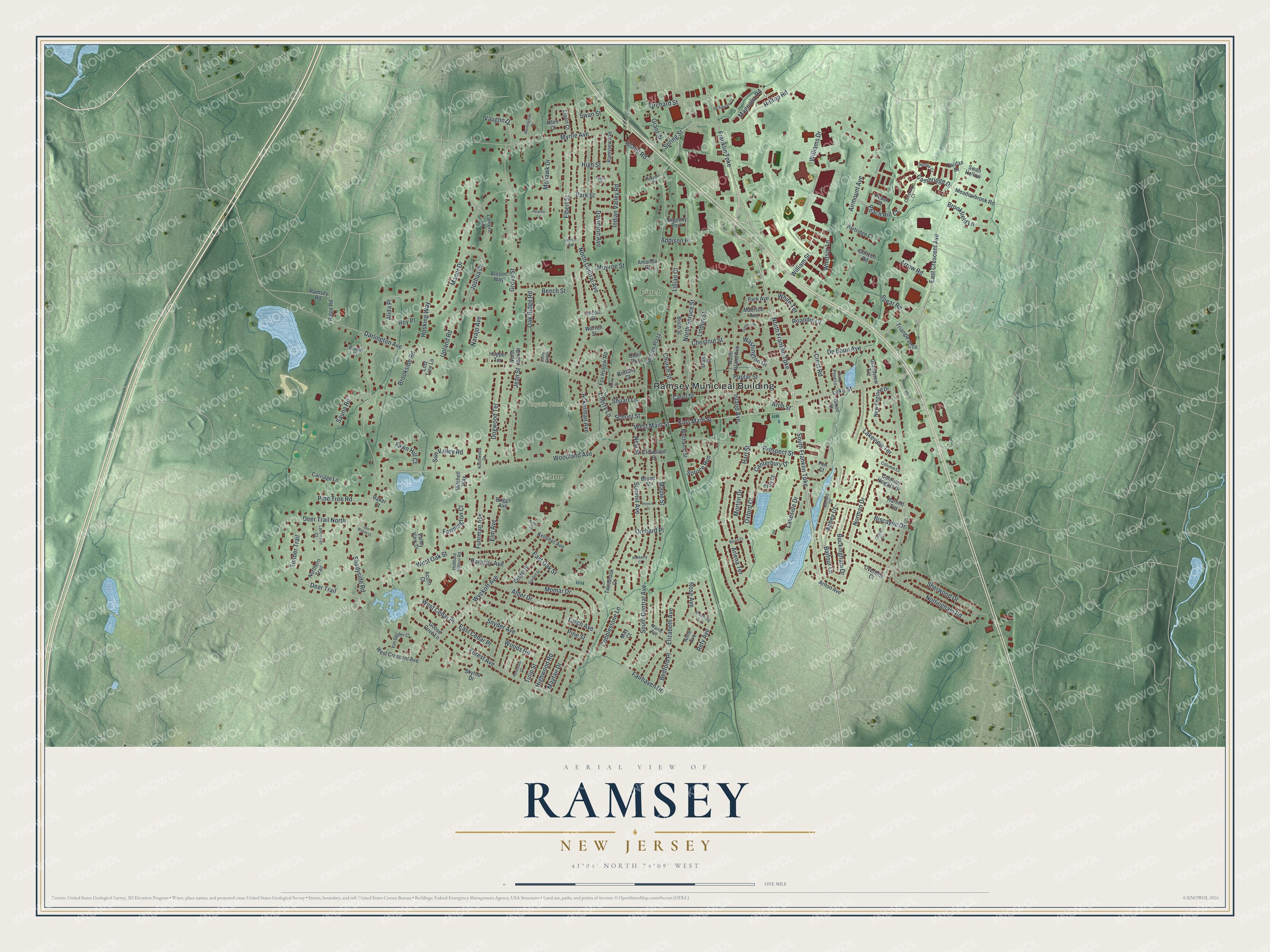
This beautifully detailed map of Ramsey, New Jersey was created in 2026 using aerial imagery combined with modern topographical, census, street and landmark data. It’s a one-of-a-kind view of Ramsey that combines accurate data with a vintage aesthetic. The map shows every building in its true location, many of the roads carry their names, and the shaded topographic relief shows the shape of the land.
Explore an aerial view of Ramsey, New Jersey
On the map you’ll find Ramsey Municipal Building, Finch Park, and O’Kane Park, along with Wyckoff Avenue, Franklin Turnpike, Lake Street, Main Street, and more. If you look closely you can even find your house accurately drawn in its correct location. Zoom in on the preview to look for yours.
Did You Know?
Ramsey was named for Peter J. Ramsey, a landowner of the 1800s. He sold the land where a railroad station was built in 1848. The stop was called Ramsey’s Station, and the town grew up around it. Ramsey became a borough in 1908.
Take a closer look at the Ramsey map
Names on this map
These names are printed on this map.
Places: Ramsey Municipal Building, Finch Park, O'Kane Park, Royale Tract and Regency Park.
Streets and roads: Wyckoff Avenue, South Franklin Turnpike, North Franklin Turnpike, Lake Street, East Main Street, West Main Street, Franklin Turnpike, Spring Street, South Central Avenue, Cambridge Drive, East Crescent Avenue, Darlington Avenue.
More street names, A to Z
Abbey Court, Ackerman Avenue, Acorn Court, Addison Place, Airmount Avenue, Alder Drive, Alida Place, Allen Court, Allison Way, Amanda Court, Anne Avenue, Arch Street, Arlena Terrace, Arlton Avenue, Armstrong Avenue, Arrow Road, Baker Court, Balfour Lane, Bedford Place, Beech Street, Birch Street, Biscayne Drive, Briggs Avenue, Brittany Court, Broad Street, Brookfield Lane, Brookside Road, Buckingham Drive, Byron Court, Canterbury Drive, Carol Street, Carriage Lane, Center Street, Cherry Lane, Chestnut Street, Church Street, Circle End Drive, Cleveland Street, Cobblestone Lane, Collins Avenue, Colonial Heights Drive, Column Court, Coventry Court, Crest Road, Davidson Avenue, De Baun Avenue, Deer Trail, Deer Trail North, De Simone Court, Diana Court, Dixon Street, Dogwood Terrace, Drumm Court, Duck Pond Lane, East Cedar Place, East Oak Street, Elbert Court, Elbert Street, Elizabeth Avenue, Elm Avenue, Eton Court, Fairfax Drive, Fairhaven Drive, Farmington Court, Fawn Hill Court, Fen Court, Ferguson Place, Forest Avenue, Fox Hollow Road, Fuhrman Avenue, Garden Street, Gertzen Plaza, Gertzen Road, Goose Cove Lane, Grandview Terrace, Grant Street, Grove Street, Harlind Terrace, Hart Street, Heather Lane, High Street, Highwood Road, Hilltop Road, Hopper Terrace, Hosking Way, Hubbard School Road, Indian Valley Road, Island Avenue, Island Road, Jean Street, Joshua Drive, Kate Court, Kelleher Avenue, Kimberly Court, Knollwood Drive, Lakeside Drive, Lakeview Terrace, Lancaster Court, Lantern Lane, Larch Avenue, Lillian Court, Lincoln Street, Linden Street, Lost Tree Lane, Madison Avenue, Magnolia Road, Manor Drive, Maple Street, Martis Avenue, May Court, Mayfair Drive, Meadowbrook Road, Mechanic Street, Mitchell Way, Mohawk Drive, Momar Drive, Monroe Street, Morningside Drive, Morse Avenue, Morton Drive, Myrtle Avenue, Navajo Avenue, New England Drive, New Street, Norman Drive, North Central Avenue, Northern Trail, North Island Avenue, North Jean Street, North Spruce Street, North Street, Nottingham Road, Oak Ridge Road, Orchard Place, Orchard Street, Overlook Court, Oxford Court, Park Avenue, Park Street, Partridge Court, Peach Court, Peach Hill Court, Pine Street, Pine Tree Road, Poplar Street, Prince Street, Prospect Street, Quail Run, Ramsey Avenue, Ramsey Road, Ramview Avenue, Refy Avenue, Ridge Road, Roandis Court, Ronald Court, Rose Avenue, Rosewood Court, Roy Place, Sauna Road, School Street, Shadyside Road, Sherwood Drive, Shuart Lane, Skytop Drive, Snyder Avenue, Spear Road, Spruce Run, Summit Avenue, Sun Valley Road, Sun Watch Court, Surrey Court, Swan Hollow, Swan Street, Talina Court, Thornhill Drive, Timber Trail, Triangle Plaza, Tulip Street, Twinbrook Court, Upland Road, Valley View Drive, Van Gelder Court, Vaughn Drive, Warren Street, Washington Drive, West Cedar Place, West Crescent Avenue, West Oak Street, White Terrace, Williams Drive, William Street, Windsor Lane, Woodland Avenue, Woods Road.
See it on a wall
The Ramsey map as an 18 x 24 inch print in a black frame.

This beautifully detailed map of Ramsey makes an attractive addition to your office, library, or den, and it can even be used to teach children the geography and history of the area. It also makes a great gift for someone who left Ramsey and still calls it home. When you’re done exploring, click here to get your copy of the Ramsey map.